Old Maps of Waverly, Wisconsin for Academic Research
Study the evolution of Waverly with 12 high-resolution historic maps. Whether you're teaching, researching, or modeling changes in land use, these maps provide essential visual documentation of urban, environmental, and geographic change.
- Analyze long-term change: Track patterns in development, transportation, and natural features.
- Ideal for environmental or urban studies: Support academic projects with primary historical map data.
- Use in the classroom or lab: Educators and researchers rely on these maps to bring historical context to life.
These maps are a powerful tool for teaching, research, and visualizing how Waverly has changed over the decades.
Waverly, WI maps
(12)- 1940 Map of Maiden Rock
 1940 Maiden Rock1940 Print · USGSPierce County’s bluff country meets the Mississippi River in this pre-war survey of the Wisconsin-Minnesota border. Genealogists can trace hundreds of family-named landmarks, from Clayfield Ch to vanished rural schoolhouses like Oakvale Sch and Drake Sch.2 unique versions available
 - 1950 Map of Maiden Rock, 1952 Print
 1950 Maiden Rock1952 Print · USGSThe bluffs of Lake Pepin were a hive of rail and river activity at mid-century, supporting a dense network of upland farms and small towns. Researchers can trace rural life through dozens of named landmarks like Old Frontenac, the Villa Maria Academy, and Sleepy Hollow School.4 unique versions available
 - 1953 Map of Saint Paul, 1964 Print
 1953 Saint Paul1964 Print · USGSThe Twin Cities and the Mississippi River valley are captured here at a mid-century turning point. Trace the early growth of Minneapolis and Saint Paul alongside landmarks like Lake Minnetonka and the St Croix River.4 unique versions available
 - 1959 Map of Saint Paul
 1959 Saint Paul1959 Print · USGSThe Twin Cities and southeastern Minnesota appear here in the late fifties, showing the peak of the rail era and post-war suburban growth. Genealogists can trace family footprints near Lake Minnetonka, the Univ Of Minn Rosemount Research Center, or the growing neighborhoods of Richfield.2 unique versions available
 - 1974 Map of Waverly, 1978 Print
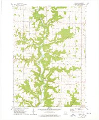 1974 Waverly1978 Print · USGSPierce County farm country and river valleys are captured here in the mid-1970s as agricultural life centered around small crossroads. Researchers can locate family roots near Waverly, Ono, or Bremenington and find local landmarks like Lost Creek Cem.
 - 1985 Map of Hastings
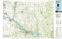 1985 Hastings1985 Print · USGSThe river valleys of the St. Croix and Mississippi dominate this mid-eighties landscape as they border Minnesota and Wisconsin. You can trace the boundaries of the Prairie Island Indian Res, find the old rail alignments of the SOO LINE, and locate remote bluffs like Rattlesnake Point.
 - 1990 Map of Hastings, 1991 Print
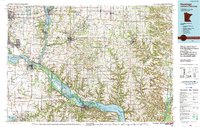 1990 Hastings1991 Print · USGSThe river confluence at Hastings and Prescott is captured here in the final decade of the twentieth century, showing a landscape defined by the Mississippi River and St Croix River. Genealogists and historians can trace rail corridors like the Soo RR and find smaller settlements such as Miesville, Wacouta, and Diamond Bluff.
 - 2010 Map of Waverly, 2010 Print
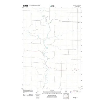 2010 Waverly2010 Print · USGSPierce County’s agricultural heartland is documented here in the early twenty-first century as the Rush River winds through a landscape of established family farms. Researchers can locate small crossroads communities like Ono and Waverly or trace family lineages at the Ono Methodist Cemetery.
 - 2013 Map of Waverly, 2013 Print
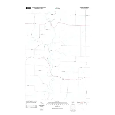 2013 Waverly2013 Print · USGSPierce County farm country is captured here during the early 2010s, showing a landscape shaped by the Rush River and its tributaries. Researchers can trace the rural layout around Waverly and Ono, identifying family homesteads and local waterways like Brush Cr.
 - 2015 Map of Waverly, 2015 Print
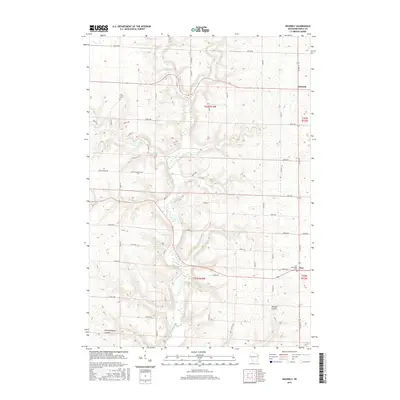 2015 Waverly2015 Print · USGSPierce County’s rural valleys and ridge-top farms are documented in this 2015 study of the Rush River corridor. Genealogists can locate family landmarks like the Ono Methodist Cem, the settlement of Waverly, and the winding Morgan Coulee.
 - 2018 Map of Waverly, 2018 Print
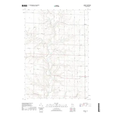 2018 Waverly2018 Print · USGSPierce County’s coulee country is captured in detail here during the late twenty-teens, showing the rural character of El Paso and Union townships. Researchers can locate family landmarks like the Lost Creek Cemetery and follow the winding path of the Rush River.
 - 2022 Map of Waverly, 2022 Print
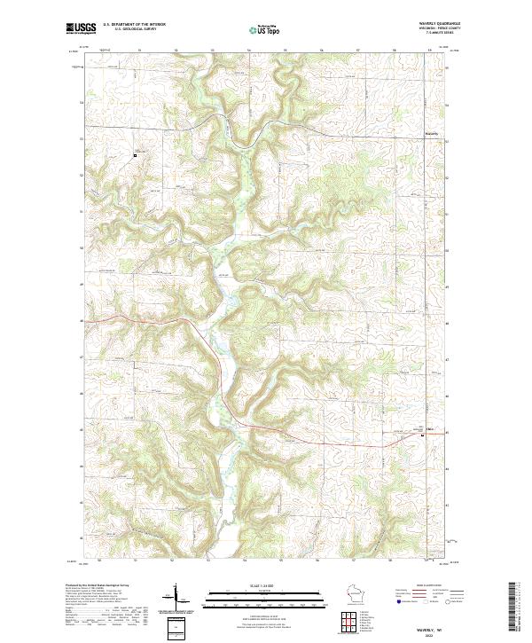 2022 Waverly2022 Print · USGSPierce County farmers and genealogists will find this contemporary look at the Waverly and Ono area essential. Trace ancestral lands near the Ono Methodist Cem, the valley of the Rush River, and family landmarks like Bremennington Coulee.
End of results
Showing maps 1-12 of 12
Top cities near Waverly
- Red Wing historical maps
- Baldwin historical maps
- Ellsworth historical maps
- Woodville historical maps
- Spring Valley historical maps
- Martell historical maps
See more
Frequently asked questions
- What are the different types of historical maps available for Waverly?
- What is the oldest map of Waverly?
- Where can I purchase historical maps of Waverly for my home or office?
- Where can I download high-res historical maps of Waverly?
- Are there historical topographic maps available for Waverly?
- Is there historical aerial imagery available for Waverly?
- Where are historical maps of Waverly sourced from?