Old Maps of Alden, Wisconsin for Hiking & Exploration
Hike through history with 38 historic maps of Alden. Explore old trails, ghost towns, and forgotten backroads — perfect for outdoor adventurers and local explorers.
- Rediscover forgotten places: Map out old mining camps, roads, and footpaths that no longer exist on modern maps.
- Layer with modern tools: Combine with LiDAR or satellite views to plan hikes through historical terrain.
- Made for exploration: Popular among hikers, overlanders, and local history lovers.
Use these maps to find adventure and explore the hidden past of Alden.
Alden, WI maps
(38)- 1900 Map of St Croix Dalles
 1900 St Croix Dalles1900 Print · USGSThe river gorge at the Wisconsin-Minnesota border comes alive in this late nineteenth-century survey, showing the twin hubs of the Dalles before modern expansion. Genealogists can trace family roots in Dresser Junction, El Salem, and the scattered lakefront farms of Farmington.
 - 1901 Map of St Croix Dalles
 1901 St Croix Dalles1901 Print · USGSThe river-border between Wisconsin and Minnesota was a hub of rail activity and river commerce at the start of the twentieth century. Genealogists and rail historians can trace the paths of the St. Paul and Duluth R. R. through Shafer and Taylors Falls, or locate old settlements like Franconia Station and Dresser Junction.6 unique versions available
 - 1948 Map of New Richmond, 1957 Print
 1948 New Richmond1957 Print · USGSSt. Croix County at the close of the 1940s shows a landscape of river-powered hamlets and rural school districts. Genealogists can trace family footprints through sites like Schroeder Cem, Emanuel Ch, and numerous schoolhouses from Lonesome Trail Sch to Elm Park Sch.3 unique versions available
 - 1949 Map of New Richmond
 1949 New Richmond1949 Print · USGSSt. Croix County at the end of the 1940s reveals a landscape of thriving rural townships and river-driven commerce. Genealogists and historians can trace defunct rail stops like Burkhardt Sta and dozens of country schools, including Lonesome Trail Sch and Oak Hill Sch.
 - 1950 Map of Deer Park
 1950 Deer Park1950 Print · USGSNorthwestern Wisconsin at the end of the 1940s reveals a patchwork of small townships and dairy country connected by vital rail lines. Genealogists can trace family roots through numerous country schools like Jewett Mills Sch and historic parishes such as St Bridget Ch.2 unique versions available
 - 1950 Map of Balsam Lake, 1952 Print
 1950 Balsam Lake1952 Print · USGSPolk County's lake country is captured here at mid-century, showing a landscape defined by the Soo Line and the Apple River. Genealogists can trace family roots through numerous sites like Holy Rosary Ch, Lykens, and School No 1.3 unique versions available
 - 1953 Map of Stillwater, 1980 Print
 1953 Stillwater1980 Print · USGSThe Twin Cities and the St. Croix Valley are captured in this mid-century survey as the interstate era began to transform the Upper Midwest. Genealogists and historians can trace the rail-and-river geography of Stillwater, locate landmarks in Anoka, or explore the sprawling St Croix State Park.
 - 1955 Map of St. Croix Dalles
 1955 St. Croix Dalles1955 Print · USGSThe river valley along the Wisconsin and Minnesota border thrived in the mid-fifties as a hub of rail traffic and early Cold War defense. You can trace the Minneapolis St Paul and Sault Ste Marie rail lines and locate the Osceola Air Force Station or the abandoned Ubet Sch.4 unique versions available
 - 1955 Map of Stillwater, 1965 Print
 1955 Stillwater1965 Print · USGSThe Upper St. Croix Valley and the growing Twin Cities area are shown here during the mid-fifties, before the interstate era transformed the regional commute. You can trace the lines of the Northern Pacific RR through towns like Rush City or locate the Saint Croix Indian Reservation.
 - 1958 Map of Stillwater
 1958 Stillwater1958 Print · USGSThe Upper Mississippi and St. Croix River valleys appear in the mid-fifties as the Twin Cities expanded north. Genealogists can locate family landmarks like Oak Park Cem, Saint Michael Church, and the Soo Line RR rail corridors.2 unique versions available
 - 1965 Map of Stillwater
 1965 Stillwater1965 Print · USGSThe Twin Cities and the St. Croix Valley are mapped here during a period of significant post-war growth and industrial transit. Genealogists and historians can trace rail lines like the Northern Pacific RR through towns such as Rush City, Amery, and Balsam Lake.
 - 1974 Map of St. Croix Dalles SE, 1976 Print
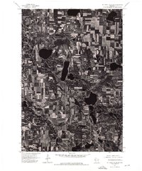 1974 St. Croix Dalles SE1976 Print · USGSAgricultural land and glacial lakes define this pocket of Polk County during the mid-seventies. Researchers can examine the detailed field patterns and natural drainage systems surrounding the Apple River on this overhead survey.
 - 1974 Map of Balsam Lake SW, 1976 Print
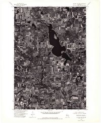 1974 Balsam Lake SW1976 Print · USGSPolk County land use is captured here in the mid-seventies, showing the transition from agricultural fields to the edge of the lake country. Local historians can trace the early layout of Wanderoos and the undeveloped shoreline of Wapogasset Lake.
 - 1974 Map of New Richmond North, 1977 Print
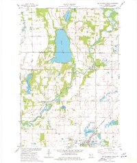 1974 New Richmond North1977 Print · USGSNorthwestern Wisconsin in the mid-seventies reveals a network of river-bound settlements and rail lines connecting the rural townships of St. Croix County. Local historians and genealogists can trace the locations of Oakland Cem, the Cedar Lake Sch, and small hamlets like Huntington and Johannesburg.
 - 1975 Map of Stillwater
 1975 Stillwater1975 Print · USGSThe Twin Cities and the St. Croix Valley are captured in the mid-seventies, showing the urban growth of Minneapolis and St Paul. Researchers can trace old rail corridors of the Northern Pacific RR and locate tribal lands at the Mille Lacs Indian Reservation.2 unique versions available
 - 1975 Map of Deer Park, 1978 Print
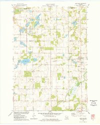 1975 Deer Park1978 Print · USGSDeer Park and Stanton are captured in the mid-1970s, showcasing a landscape where railroad commerce meets the wetlands of northern St. Croix County. Researchers can trace the heritage of local parishes and families at East Emanuel Ch, Calvary Cem, and Wagon Landing Cem.
 - 1978 Map of Nye, 1979 Print
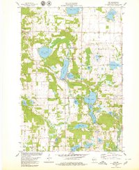 1978 Nye1979 Print · USGSPolk County in the late seventies is a landscape of glacial lakes and quiet rail stops like Nye. Genealogists and historians can locate old rural landmarks like West Immanuel Ch, Sand Lake Cem, and the tracks of the Soo Line.
 - 1985 Map of Stillwater
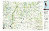 1985 Stillwater1985 Print · USGSThe St. Croix River valley in the mid-1980s reveals a borderland of river towns and conservation areas. Trace the rail lines of the Soo Line, locate the Minnesota State Prison, and explore the numerous wildlife areas like Cylon Marsh.2 unique versions available
 - 2010 Map of Deer Park, 2010 Print
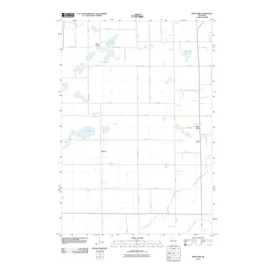 2010 Deer Park2010 Print · USGSSaint Croix County at the start of the 2010s reveals a landscape of quiet lakeside settlements and rural crossroads. Researchers can trace family sites near Wagon Landing Cemetery, explore the environs of Deer Park, or follow the South Fork Willow River through the township.
 - 2010 Map of Nye, 2010 Print
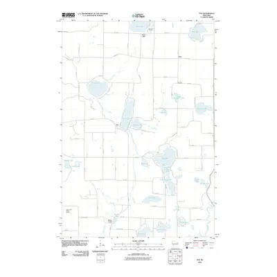 2010 Nye2010 Print · USGSPolk County at the turn of the millennium shows a landscape defined by its glacial lakes and the winding Apple River. Genealogists and local historians can trace family locations near Sand Lake Cemetery, the community of Nye, and the grounds of El Salem Cemetery.
 - 2010 Map of New Richmond North, 2010 Print
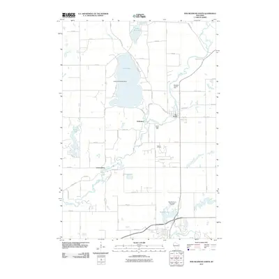 2010 New Richmond North2010 Print · USGSSaint Croix County in the late 2000s shows a unique concentration of aviation sites along the Apple River corridor. Genealogists and local historians can locate Oakland Cemetery, the community of Star Prairie, and the Ceder Lake Seaplane Base.
 - 2010 Map of Wapogasset Lake, 2010 Print
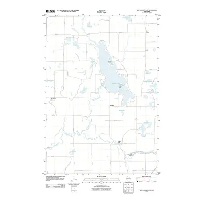 2010 Wapogasset Lake2010 Print · USGSWisconsin's lake country near Amery is shown here in the early twenty-first century, centered on the interconnected Wapogasset Lake and Bear Trap Lake. Genealogists and local historians can locate Travelers Rest Cemetery, Lincoln Cemetery, and the community of Wanderoos.
 - 2013 Map of Wapogasset Lake, 2013 Print
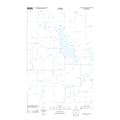 2013 Wapogasset Lake2013 Print · USGSPolk County at the start of the 2010s shows a landscape of interconnected glacial waters and established lakeside communities. Researchers can trace property access and local landmarks near Wapogasset Lake, Bear Trap Lake, and the Apple River.
 - 2013 Map of Deer Park, 2013 Print
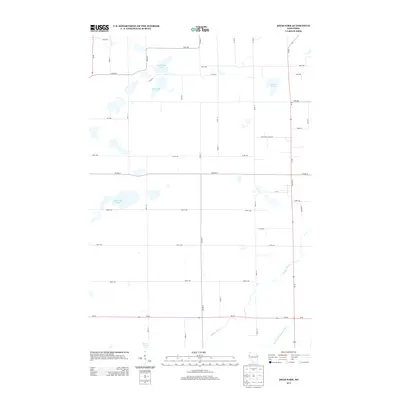 2013 Deer Park2013 Print · USGSWestern Wisconsin's rural landscape is captured here in the early twenty-first century, showing the intersection of agricultural grids and glacial waterways. Genealogists and local historians can trace family land proximity to North Fish Lake, Oak Ridge Lake, or the banks of the Willow River.
 - 2013 Map of New Richmond North, 2013 Print
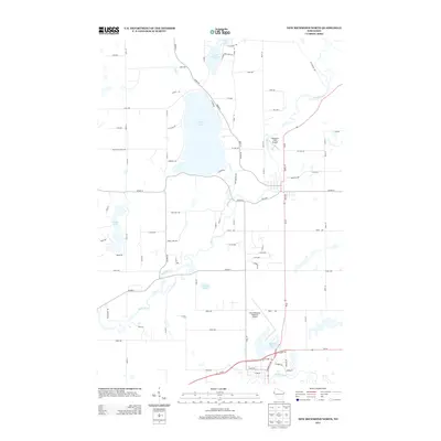 2013 New Richmond North2013 Print · USGSSaint Croix County at the start of the 2010s shows a landscape defined by glacial waters and expanding aviation infrastructure. Researchers can trace the banks of the Apple River or locate the shoreline properties of Cedar Lake and Pine Lake.
Showing maps 1-25 of 38
Top cities near Alden
- New Richmond historical maps
- Somerset historical maps
- Town of Star Prairie historical maps
- Amery historical maps
- Osceola historical maps
- Town of Alden historical maps
See more
Top neighborhoods of Alden
Frequently asked questions
- What are the different types of historical maps available for Alden?
- What is the oldest map of Alden?
- Where can I purchase historical maps of Alden for my home or office?
- Where can I download high-res historical maps of Alden?
- Are there historical topographic maps available for Alden?
- Is there historical aerial imagery available for Alden?
- Where are historical maps of Alden sourced from?