Old Maps of Farmington, Wisconsin for Academic Research
Study the evolution of Farmington with 53 high-resolution historic maps. Whether you're teaching, researching, or modeling changes in land use, these maps provide essential visual documentation of urban, environmental, and geographic change.
- Analyze long-term change: Track patterns in development, transportation, and natural features.
- Ideal for environmental or urban studies: Support academic projects with primary historical map data.
- Use in the classroom or lab: Educators and researchers rely on these maps to bring historical context to life.
These maps are a powerful tool for teaching, research, and visualizing how Farmington has changed over the decades.
Farmington, WI maps
(53)- 1900 Map of St Croix Dalles
 1900 St Croix Dalles1900 Print · USGSThe river gorge at the Wisconsin-Minnesota border comes alive in this late nineteenth-century survey, showing the twin hubs of the Dalles before modern expansion. Genealogists can trace family roots in Dresser Junction, El Salem, and the scattered lakefront farms of Farmington.
 - 1901 Map of St Croix Dalles
 1901 St Croix Dalles1901 Print · USGSThe river-border between Wisconsin and Minnesota was a hub of rail activity and river commerce at the start of the twentieth century. Genealogists and rail historians can trace the paths of the St. Paul and Duluth R. R. through Shafer and Taylors Falls, or locate old settlements like Franconia Station and Dresser Junction.6 unique versions available
 - 1948 Map of New Richmond, 1957 Print
 1948 New Richmond1957 Print · USGSSt. Croix County at the close of the 1940s shows a landscape of river-powered hamlets and rural school districts. Genealogists can trace family footprints through sites like Schroeder Cem, Emanuel Ch, and numerous schoolhouses from Lonesome Trail Sch to Elm Park Sch.3 unique versions available
 - 1948 Map of Stillwater, 1962 Print
 1948 Stillwater1962 Print · USGSThe St. Croix River valley comes to life in the late 1940s, capturing the river border between Minnesota and Wisconsin. Trace local genealogy and geography through the streets of Houlton, the Houlton Cem, and the historic Marine Ferry crossing.2 unique versions available
 - 1949 Map of New Richmond
 1949 New Richmond1949 Print · USGSSt. Croix County at the end of the 1940s reveals a landscape of thriving rural townships and river-driven commerce. Genealogists and historians can trace defunct rail stops like Burkhardt Sta and dozens of country schools, including Lonesome Trail Sch and Oak Hill Sch.
 - 1949 Map of Stillwater
 1949 Stillwater1949 Print · USGSThe St Croix River valley in the late 1940s shows the border settlements of Minnesota and Wisconsin before modern sprawl. Researchers can trace the layout of Houlton, find the Houlton Cem, and locate the Boy Scout Camp along the wooded river bluffs.2 unique versions available
 - 1953 Map of Stillwater, 1980 Print
 1953 Stillwater1980 Print · USGSThe Twin Cities and the St. Croix Valley are captured in this mid-century survey as the interstate era began to transform the Upper Midwest. Genealogists and historians can trace the rail-and-river geography of Stillwater, locate landmarks in Anoka, or explore the sprawling St Croix State Park.
 - 1955 Map of St. Croix Dalles
 1955 St. Croix Dalles1955 Print · USGSThe river valley along the Wisconsin and Minnesota border thrived in the mid-fifties as a hub of rail traffic and early Cold War defense. You can trace the Minneapolis St Paul and Sault Ste Marie rail lines and locate the Osceola Air Force Station or the abandoned Ubet Sch.4 unique versions available
 - 1955 Map of Marine, 1956 Print
 1955 Marine1956 Print · USGSThe St. Croix River valley in the mid-1950s shows a landscape of small settlements and glacial lakes just as outdoor recreation was expanding. Genealogists can trace family connections at Otisville and Copas, or locate vanished landmarks like the Square Lake Sch (Abandoned).
 - 1955 Map of Forest Lake, 1957 Print
 1955 Forest Lake1957 Print · USGSChisago County's lake country is captured in the mid-fifties, showing the rail-linked towns of Lindstrom and Center City. Genealogists can find the Goose Lake School, Glader Cemetery, and the abandoned Meadow View School.3 unique versions available
 - 1955 Map of Stillwater, 1965 Print
 1955 Stillwater1965 Print · USGSThe Upper St. Croix Valley and the growing Twin Cities area are shown here during the mid-fifties, before the interstate era transformed the regional commute. You can trace the lines of the Northern Pacific RR through towns like Rush City or locate the Saint Croix Indian Reservation.
 - 1958 Map of Stillwater
 1958 Stillwater1958 Print · USGSThe Upper Mississippi and St. Croix River valleys appear in the mid-fifties as the Twin Cities expanded north. Genealogists can locate family landmarks like Oak Park Cem, Saint Michael Church, and the Soo Line RR rail corridors.2 unique versions available
 - 1965 Map of Stillwater
 1965 Stillwater1965 Print · USGSThe Twin Cities and the St. Croix Valley are mapped here during a period of significant post-war growth and industrial transit. Genealogists and historians can trace rail lines like the Northern Pacific RR through towns such as Rush City, Amery, and Balsam Lake.
 - 1967 Map of Marine on St Croix, 1969 Print
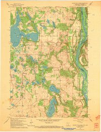 1967 Marine on St Croix1969 Print · USGSAlong the St. Croix River valley in the late sixties, this area shows a landscape defined by glacial lakes and river bluffs. Trace local roots through Marine on St Croix, the Elim Cem, or the early boundaries of William O'Brien State Park.3 unique versions available
 - 1974 Map of St. Croix Dalles SW, 1976 Print
 1974 St. Croix Dalles SW1976 Print · USGSPolk County farmland and riverfront settlements appear in high-altitude detail during the mid-1970s. Trace the historical footprints of Osceola and Dresser to see how these communities and their surrounding fields were organized decades ago.
 - 1974 Map of St. Croix Dalles SE, 1976 Print
 1974 St. Croix Dalles SE1976 Print · USGSAgricultural land and glacial lakes define this pocket of Polk County during the mid-seventies. Researchers can examine the detailed field patterns and natural drainage systems surrounding the Apple River on this overhead survey.
 - 1974 Map of Scandia, 1976 Print
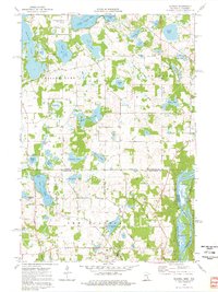 1974 Scandia1976 Print · USGSThe lakeside community of Scandia and the St. Croix River valley are captured in the mid-1970s before modern development. Researchers can trace family sites near Elim Cem, St Francis Xavier Ch, and the banks of Bone Lake.3 unique versions available
 - 1974 Map of Somerset North, 1977 Print
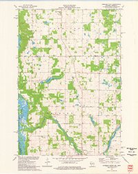 1974 Somerset North1977 Print · USGSThe St. Croix and Apple Rivers meet in this mid-seventies landscape of western Wisconsin dairy farms and river-fed flowages. Researchers can trace rural lineages at Oak Grove Cem or locate old industrial and leisure sites like the Apple River Falls and the Chair Lift.
 - 1974 Map of New Richmond North, 1977 Print
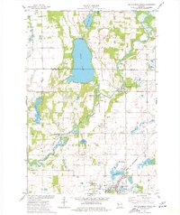 1974 New Richmond North1977 Print · USGSNorthwestern Wisconsin in the mid-seventies reveals a network of river-bound settlements and rail lines connecting the rural townships of St. Croix County. Local historians and genealogists can trace the locations of Oakland Cem, the Cedar Lake Sch, and small hamlets like Huntington and Johannesburg.
 - 1975 Map of Stillwater
 1975 Stillwater1975 Print · USGSThe Twin Cities and the St. Croix Valley are captured in the mid-seventies, showing the urban growth of Minneapolis and St Paul. Researchers can trace old rail corridors of the Northern Pacific RR and locate tribal lands at the Mille Lacs Indian Reservation.2 unique versions available
 - 1978 Map of Osceola, 1979 Print
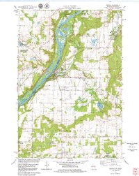 1978 Osceola1979 Print · USGSThe St. Croix River valley in the late seventies reveals a landscape of riverside villages and conservation lands. Genealogists can locate Ramsey Cem and Pleasant Prairie Cem, while rail enthusiasts can trace the Soo Line through Dresser.3 unique versions available
 - 1978 Map of Nye, 1979 Print
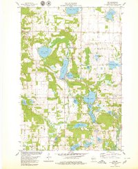 1978 Nye1979 Print · USGSPolk County in the late seventies is a landscape of glacial lakes and quiet rail stops like Nye. Genealogists and historians can locate old rural landmarks like West Immanuel Ch, Sand Lake Cem, and the tracks of the Soo Line.
 - 1985 Map of Stillwater
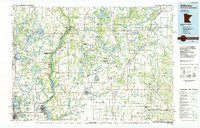 1985 Stillwater1985 Print · USGSThe St. Croix River valley in the mid-1980s reveals a borderland of river towns and conservation areas. Trace the rail lines of the Soo Line, locate the Minnesota State Prison, and explore the numerous wildlife areas like Cylon Marsh.2 unique versions available
 - 2010 Map of Nye, 2010 Print
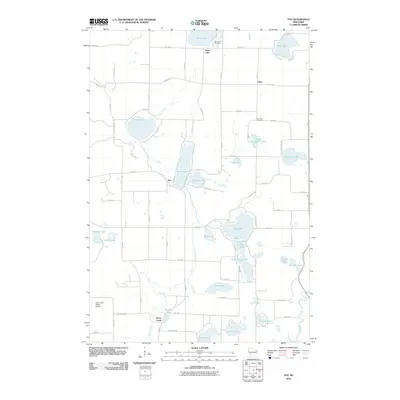 2010 Nye2010 Print · USGSPolk County at the turn of the millennium shows a landscape defined by its glacial lakes and the winding Apple River. Genealogists and local historians can trace family locations near Sand Lake Cemetery, the community of Nye, and the grounds of El Salem Cemetery.
 - 2010 Map of New Richmond North, 2010 Print
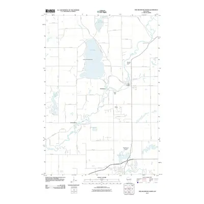 2010 New Richmond North2010 Print · USGSSaint Croix County in the late 2000s shows a unique concentration of aviation sites along the Apple River corridor. Genealogists and local historians can locate Oakland Cemetery, the community of Star Prairie, and the Ceder Lake Seaplane Base.
Showing maps 1-25 of 53
Top cities near Farmington
- Stillwater historical maps
- Hugo historical maps
- North Branch historical maps
- New Richmond historical maps
- Lake Elmo historical maps
- Chisago City historical maps
See more
Top neighborhoods of Farmington
Frequently asked questions
- What are the different types of historical maps available for Farmington?
- What is the oldest map of Farmington?
- Where can I purchase historical maps of Farmington for my home or office?
- Where can I download high-res historical maps of Farmington?
- Are there historical topographic maps available for Farmington?
- Is there historical aerial imagery available for Farmington?
- Where are historical maps of Farmington sourced from?