Old Maps of Almond, Wisconsin for Genealogy
Trace your family roots with 28 historic maps of Almond. These high-res maps reveal old neighborhoods, homesites, landmarks, and streets — helping you uncover where your ancestors lived and how the area evolved over time.
- Explore historic neighborhoods: Identify where your relatives may have lived in the 1800s or 1900s.
- Compare maps over time: Trace the changes in streets, buildings, and landmarks for multi-generational research.
- Perfect for genealogy & ancestry research: Used by family historians and researchers to map out lineage and migration.
These maps are an incredible resource for exploring your personal connection to Almond's past.
Almond, WI maps
(28)- 1955 Map of Green Bay, 1968 Print
 1955 Green Bay1968 Print · USGSCentral and Eastern Wisconsin are captured here in the mid-fifties, showing the industrial growth of the Fox Valley and Wisconsin River corridors. Genealogists and historians can trace rail lines like the Green Bay and Western through settlements like Weyauwega, Clintonville, and Pulaski.2 unique versions available
 - 1957 Map of Amherst, 1959 Print
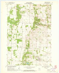
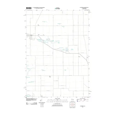
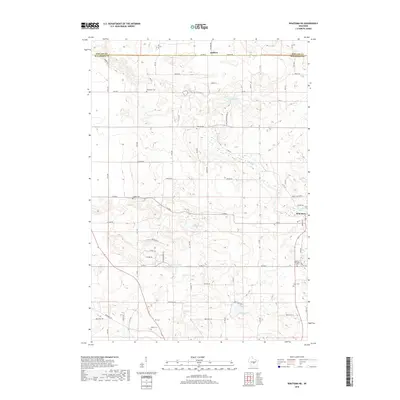
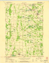 1957 Amherst1959 Print · USGSPortage County at the end of the fifties is a landscape of intersecting railroads and rural school districts. Genealogists can trace family lines at Spiritland Cem or locate the site of the Lincoln Sch (Abandoned) near the Almond village limits.
 - 1959 Map of Wautoma, 1961 Print
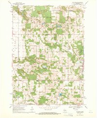
 1959 Wautoma1961 Print · USGSWaushara County in the late fifties shows a rural landscape defined by glacial lakes and a developing transportation network. Genealogists can trace family names through numerous sites like Richford Cem, West Holden Ch, and St Pauls Cem.
 - 1968 Map of Plainfield, 1971 Print
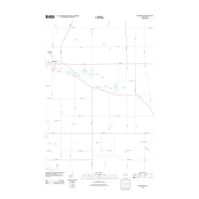
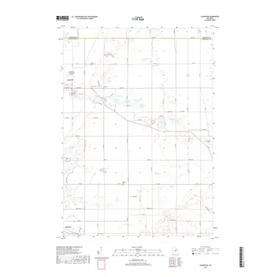
 1968 Plainfield1971 Print · USGSWisconsin's glacial lake country comes into focus in the late sixties as the area around Plainfield developed its agricultural and recreational identity. Researchers can trace rural lineages through Hillside Cem and Lord Cem or explore the many shorelines of Lake Huron and Long Lake.2 unique versions available
 - 1968 Map of Wautoma NE, 1971 Print
 1968 Wautoma NE1971 Print · USGSWaushara County during the late sixties shows a landscape of small farms and lakeside recreation centered around the Wild Rose village. Genealogists and local historians can trace rural family roots through sites like Bohemian Cem, West Holden Ch, and Union Cem.2 unique versions available
 - 1969 Map of Blaine, 1972 Print
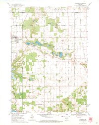
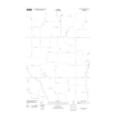
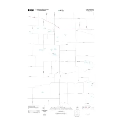
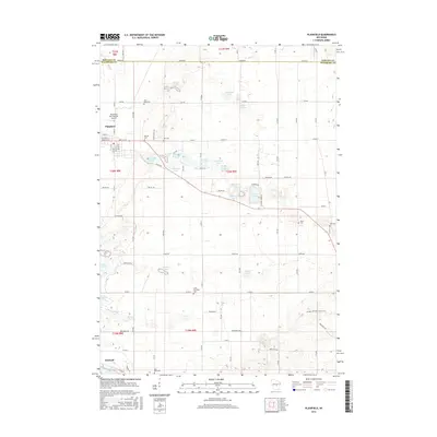
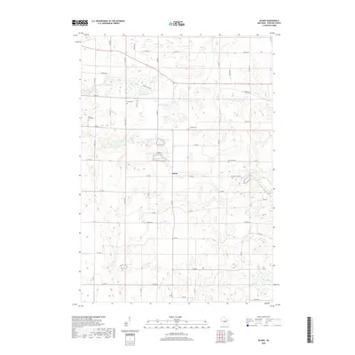
 1969 Blaine1972 Print · USGSPortage County at the close of the 1960s reveals a rural landscape defined by its glacial lakes and scattered farming communities. Genealogists and local historians can trace family locations near Blaine, St Patricks Ch, and the Hillside Cem.
 - 1969 Map of Almond, 1972 Print
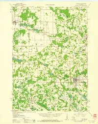
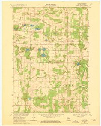
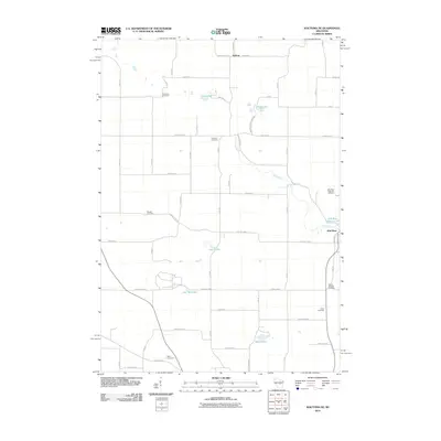
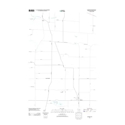
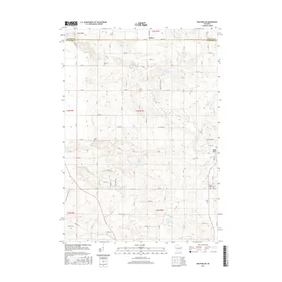
 1969 Almond1972 Print · USGSPortage County’s agricultural and rail-dependent character is evident here during the late sixties. Researchers can trace family history through numerous rural sites like St Johns Cem, Spiritland Cem, and the tracks of the Chicago and North Western railroad.
 - 1985 Map of Wisconsin Rapids
 1985 Wisconsin Rapids1985 Print · USGSCentral Wisconsin in the mid-eighties shows a landscape of engineered waterways and active rail corridors between Wisconsin Rapids and Waupaca. Genealogists and researchers can trace local landmarks like Roche A Cri State Park, the SOO LINE, and small settlements like Coddington or Rudolph.2 unique versions available
 - 2010 Map of Blaine, 2010 Print
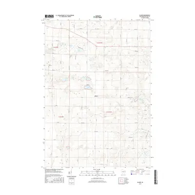
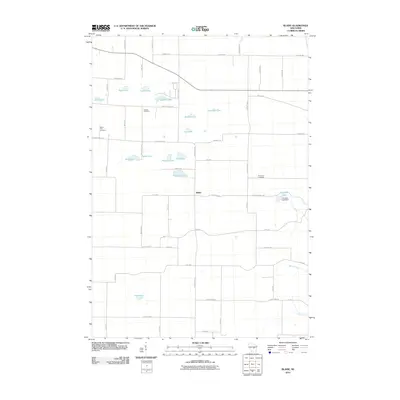 2010 Blaine2010 Print · USGSCovers Almond, including Blaine, Lanark, and other nearby areas
 - 2010 Map of Almond, 2010 Print
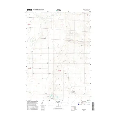
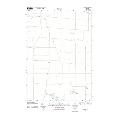 2010 Almond2010 Print · USGSCovers Almond, including Buena Vista, Pine Grove, and other nearby areas
 - 2010 Map of Wautoma NE, 2010 Print
 2010 Wautoma NE2010 Print · USGSCovers Almond, including Wild Rose, Heffron, and other nearby areas
 - 2010 Map of Plainfield, 2010 Print
 2010 Plainfield2010 Print · USGSCovers Almond, including Plainfield, Hancock, and other nearby areas
 - 2013 Map of Wautoma NE, 2013 Print
 2013 Wautoma NE2013 Print · USGSCovers Almond, including Wild Rose, Heffron, and other nearby areas
 - 2013 Map of Plainfield, 2013 Print
 2013 Plainfield2013 Print · USGSCovers Almond, including Plainfield, Hancock, and other nearby areas
 - 2013 Map of Almond, 2013 Print
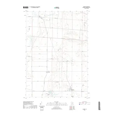
 2013 Almond2013 Print · USGSCovers Almond, including Buena Vista, Pine Grove, and other nearby areas
 - 2013 Map of Blaine, 2013 Print
 2013 Blaine2013 Print · USGSCovers Almond, including Blaine, Lanark, and other nearby areas
 - 2015 Map of Blaine, 2015 Print
 2015 Blaine2015 Print · USGSCovers Almond, including Blaine, Lanark, and other nearby areas
 - 2015 Map of Almond, 2015 Print
 2015 Almond2015 Print · USGSCovers Almond, including Buena Vista, Pine Grove, and other nearby areas
 - 2015 Map of Wautoma NE, 2015 Print
 2015 Wautoma NE2015 Print · USGSCovers Almond, including Wild Rose, Heffron, and other nearby areas
 - 2015 Map of Plainfield, 2015 Print
 2015 Plainfield2015 Print · USGSCovers Almond, including Plainfield, Hancock, and other nearby areas
 - 2018 Map of Almond, 2018 Print
 2018 Almond2018 Print · USGSCovers Almond, including Buena Vista, Pine Grove, and other nearby areas
 - 2018 Map of Wautoma NE, 2018 Print
 2018 Wautoma NE2018 Print · USGSCovers Almond, including Wild Rose, Heffron, and other nearby areas
 - 2018 Map of Blaine, 2018 Print
 2018 Blaine2018 Print · USGSCovers Almond, including Blaine, Lanark, and other nearby areas
 - 2018 Map of Plainfield, 2018 Print
 2018 Plainfield2018 Print · USGSCovers Almond, including Plainfield, Hancock, and other nearby areas
 - 2022 Map of Plainfield, 2022 Print
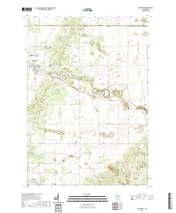 2022 Plainfield2022 Print · USGSGlacial kettle lakes and small cemeteries dot the Waushara County landscape near Plainfield during the early 2020s. Researchers can locate several burial sites like Oasis Cem and North Deerfield Cem or trace the Ice Age National Scenic Trl.
Showing maps 1-25 of 28
Top cities near Almond
- Stevens Point historical maps
- Plover historical maps
- Stockton historical maps
- Wautoma historical maps
- Whiting historical maps
- Amherst historical maps
See more
Top neighborhoods of Almond
Frequently asked questions
- What are the different types of historical maps available for Almond?
- What is the oldest map of Almond?
- Where can I purchase historical maps of Almond for my home or office?
- Where can I download high-res historical maps of Almond?
- Are there historical topographic maps available for Almond?
- Is there historical aerial imagery available for Almond?
- Where are historical maps of Almond sourced from?