2000s (21st Century) Maps of Plover, Wisconsin
Explore 10 historic maps of Plover from the 2000s (21st Century). These maps offer a rare glimpse into what life looked like during the 2000s — showing old roads, neighborhoods, homes, and landmarks that have changed or disappeared over time.
Whether you're researching your family's past, planning a metal detecting trip, or studying how Plover's landscape evolved across the 2000s, these high-resolution maps are a powerful tool for exploring the history of this region.
- Focus on a specific era: All maps on this page are from the 2000s, giving you a focused view of this time period.
- See what’s changed: Compare century-old streets, trails, and buildings to today's modern landscape using overlays and satellite layers.
- Research with precision: Use these maps for genealogy, historical research, land use analysis, or educational projects.
- View, download, or print: Maps are fully viewable online in high resolution, and can be downloaded or printed for your own records.
Start exploring Plover's history through authentic maps from the 2000s. This is your window into the past.
Plover, WI maps
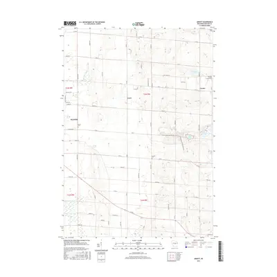
(10)- 2010 Map of Arnott, 2010 Print
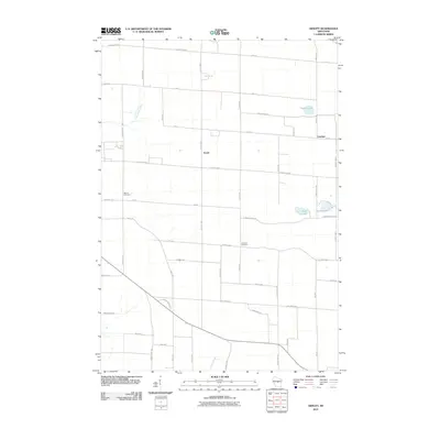 2010 Arnott2010 Print · USGSCovers Plover, including Stevens Point, Stockton, and other nearby areas
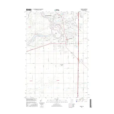
 - 2010 Map of Whiting, 2010 Print
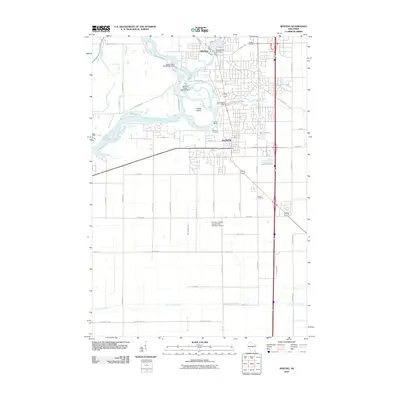 2010 Whiting2010 Print · USGSCovers Plover, including Stevens Point, Whiting, and other nearby areas
 - 2013 Map of Arnott, 2013 Print
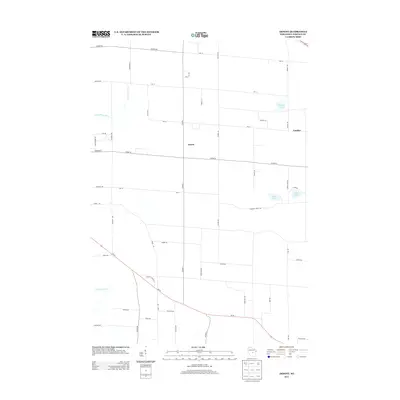 2013 Arnott2013 Print · USGSCovers Plover, including Stevens Point, Stockton, and other nearby areas
 - 2013 Map of Whiting, 2013 Print
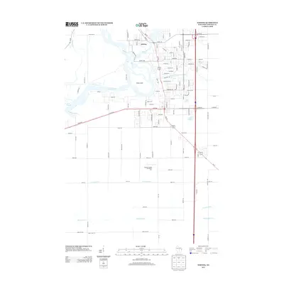 2013 Whiting2013 Print · USGSCovers Plover, including Stevens Point, Whiting, and other nearby areas
 - 2015 Map of Arnott, 2015 Print
 2015 Arnott2015 Print · USGSCovers Plover, including Stevens Point, Stockton, and other nearby areas
 - 2015 Map of Whiting, 2015 Print
 2015 Whiting2015 Print · USGSCovers Plover, including Stevens Point, Whiting, and other nearby areas
 - 2018 Map of Whiting, 2018 Print
 2018 Whiting2018 Print · USGSCovers Plover, including Stevens Point, Whiting, and other nearby areas
 - 2018 Map of Arnott, 2018 Print
 2018 Arnott2018 Print · USGSCovers Plover, including Stevens Point, Stockton, and other nearby areas
 - 2022 Map of Whiting, 2022 Print
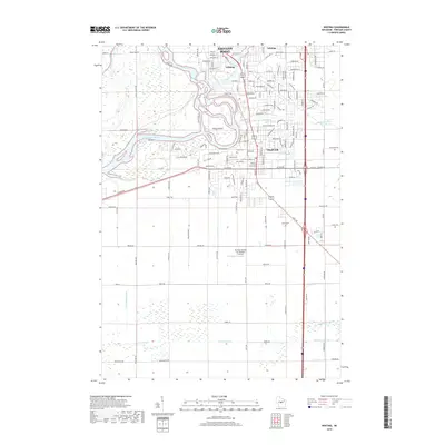
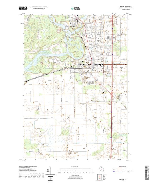 2022 Whiting2022 Print · USGSWhiting and Plover sit at the historic confluence of the Wisconsin and Plover Rivers in the early 2020s. Researchers can locate family plots at McDill Cem or Maine Cem and trace the modern expansion around Lake Pacawa and the Runway Leasing Inc Number 2 Airport.
 - 2022 Map of Arnott, 2022 Print
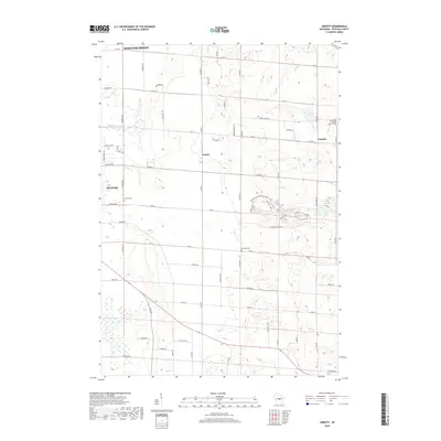
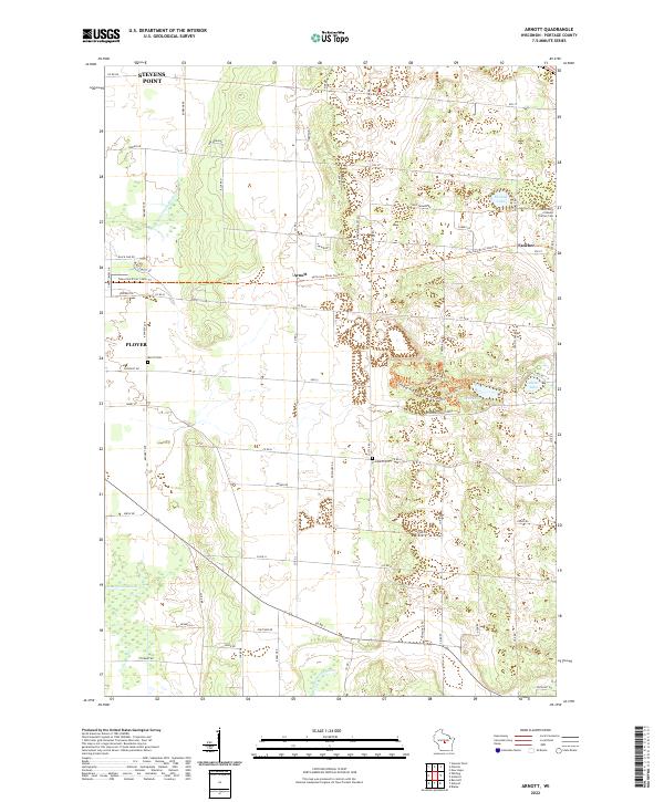 2022 Arnott2022 Print · USGSPortage County’s rural townships are documented here during a period of modern growth and recreational transition. Researchers can trace family history at Saint Mary of Mount Carmel Cem or follow the route of the Tomorrow River State Trl past Arnott and Fancher.
End of results
Showing maps 1-10 of 10
Top cities near Plover
- Stevens Point historical maps
- Wisconsin Rapids historical maps
- Stockton historical maps
- Knowlton historical maps
- Whiting historical maps
- Alban historical maps
See more
Top neighborhoods of Plover
- Auburn Ridge on the River historical maps
- Woodfield Pointe historical maps
- Cleveland Heights historical maps
Frequently asked questions
- What are the different types of historical maps available for Plover?
- What is the oldest map of Plover?
- Where can I purchase historical maps of Plover for my home or office?
- Where can I download high-res historical maps of Plover?
- Are there historical topographic maps available for Plover?
- Is there historical aerial imagery available for Plover?
- Where are historical maps of Plover sourced from?