2000s (21st Century) Maps of Flambeau, Wisconsin
Explore 30 historic maps of Flambeau from the 2000s (21st Century). These maps offer a rare glimpse into what life looked like during the 2000s — showing old roads, neighborhoods, homes, and landmarks that have changed or disappeared over time.
Whether you're researching your family's past, planning a metal detecting trip, or studying how Flambeau's landscape evolved across the 2000s, these high-resolution maps are a powerful tool for exploring the history of this region.
- Focus on a specific era: All maps on this page are from the 2000s, giving you a focused view of this time period.
- See what’s changed: Compare century-old streets, trails, and buildings to today's modern landscape using overlays and satellite layers.
- Research with precision: Use these maps for genealogy, historical research, land use analysis, or educational projects.
- View, download, or print: Maps are fully viewable online in high resolution, and can be downloaded or printed for your own records.
Start exploring Flambeau's history through authentic maps from the 2000s. This is your window into the past.
Flambeau, WI maps
(30)- 2010 Map of Phillips, 2010 Print
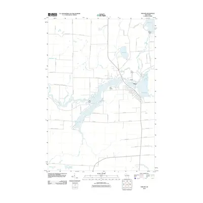 2010 Phillips2010 Print · USGSPhillips and its surrounding lake country are shown in high detail during the early twenty-first century. Researchers can trace local genealogy and land use through landmarks like Saint Patricks Cemetery, the Price County Airport, and the regulated waters of Solberg Lake.
 - 2010 Map of Lugerville, 2010 Print
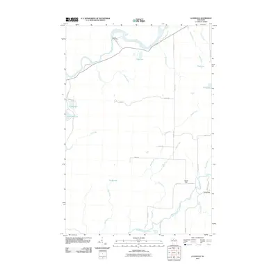 2010 Lugerville2010 Print · USGSPrice County woodlands and river systems are documented here in the early twenty-first century. Researchers can trace the local water-and-road network around Lugerville, including the Lugerville Lookout Tower and the Crowley WP381 Dam on the Flambeau River.
 - 2010 Map of Lac Sault Dore, 2010 Print
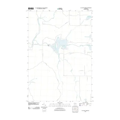 2010 Lac Sault Dore2010 Print · USGSPrice County’s river-fed landscapes are captured here during the first decade of the millennium, centered on the dammed waters of the Elk River. You can trace the complex shoreline of Lac Sault Dore 272 and locate remote landmarks like the Murray 2WP375 Dam or Mcllquham Lake.
 - 2010 Map of Oxbo, 2010 Print
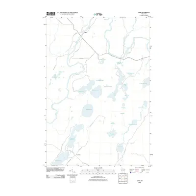 2010 Oxbo2010 Print · USGSSawyer County at the start of the twenty-first century remains a pristine landscape of glacial lakes and river bends. Researchers can locate remote landmarks like the Connors Lake Lookout Tower or trace the drainage of the Flambeau River through Deadman Slough.
 - 2010 Map of Priest Lake, 2010 Print
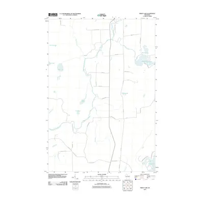 2010 Priest Lake2010 Print · USGSPrice County, Wisconsin, is documented here in the early 2000s as a landscape of interconnected waterways and timberlands. Local historians can trace family names and landmarks like Hicks Landing Rd and Sweeney Lake along the South Fork Flambeau River.
 - 2010 Map of Kennan NW, 2010 Print
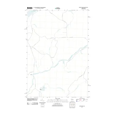 2010 Kennan NW2010 Print · USGSThe South Fork of the Flambeau River cuts through Rusk County at a time when managed flowages and remote camps defined the landscape. Local historians can trace water management at the Sobieski C14690.1 Dam or locate Camp Flambeau along the river banks.
 - 2013 Map of Phillips, 2013 Print
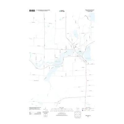 2013 Phillips2013 Print · USGSPhillips and the surrounding Northwoods of Price County appear here in detail during the early twenty-first century. Researchers can trace the extensive water systems of Long Lakes and Wilson Flowage Duroy Elk or locate local landmarks like Mink Spring and Price County Airport.
 - 2013 Map of Lugerville, 2013 Print
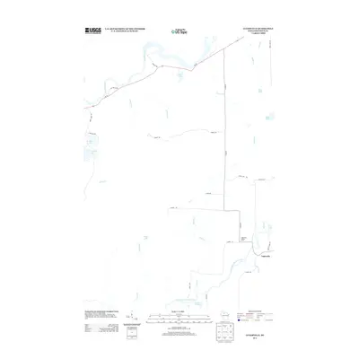 2013 Lugerville2013 Print · USGSPrice County woodlands and waters define this northern Wisconsin landscape in the early twenty-first century. Researchers can locate the settlement of Lugerville, trace the path of the South Fork Flambeau River, and find Niebauer Springs or the Lugerville Lookout Tower.
 - 2013 Map of Priest Lake, 2013 Print
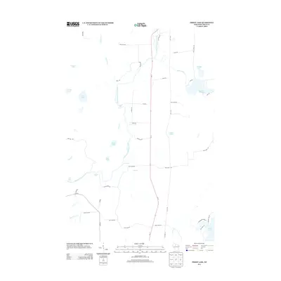 2013 Priest Lake2013 Print · USGSPrice County’s forested interior is documented here in the early twenty-first century, centered on the whitewater of the South Fork Flambeau River. Map collectors can trace the rapids at Simons Rapids and locate family-named landmarks like Axels Lake and Davis Lake.
 - 2013 Map of Lac Sault Dore, 2013 Print
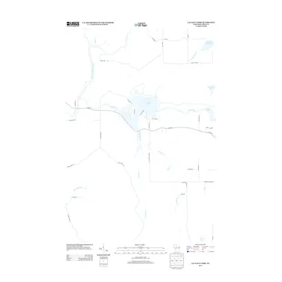 2013 Lac Sault Dore2013 Print · USGSPrice County timberlands and waterways are captured in detail here during the early twenty-first century. Researchers can trace the drainage of the South Fork Flambeau River and find local landmarks like Lac Sault Dore, Mcllquham Lake, and Danish Settlement Rd.
 - 2013 Map of Kennan NW, 2013 Print
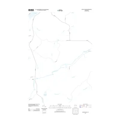 2013 Kennan NW2013 Print · USGSThe South Fork Flambeau River dominates this Wisconsin landscape at the start of the 2010s, marked by its numerous chutes and drops. Genealogists and historians can locate Camp Flambeau and trace the waterway through Big Bull Rapids and Skinner Cr Flowage.
 - 2013 Map of Oxbo, 2013 Print
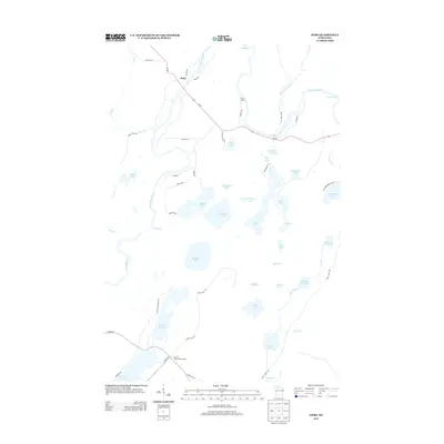 2013 Oxbo2013 Print · USGSThe Northwoods around Oxbo and the Flambeau River are captured here in the early twenty-first century as a landscape of timber and water. Genealogists and outdoor historians can locate the Connors Lake Lookout Tower and trace the winding course of Price Creek past Barnaby Rapids.
 - 2015 Map of Priest Lake, 2015 Print
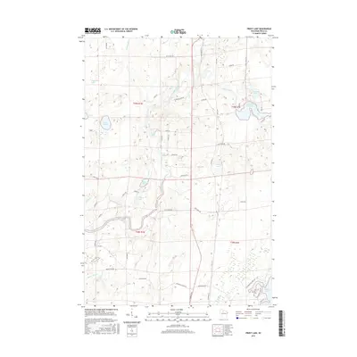 2015 Priest Lake2015 Print · USGSPrice County's lake country is on full display in the mid-2010s, showing a landscape defined by the winding South Fork Flambeau River. Researchers can trace the river's whitewater through Simons Rapids and Priest Lake Rapids, or locate family properties near Priest Lake and Solberg Lake.
 - 2015 Map of Lugerville, 2015 Print
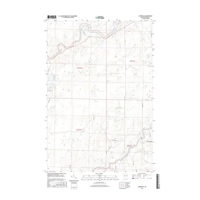 2015 Lugerville2015 Print · USGSThe Flambeau River country of Price County is captured here in the mid-2010s, showing a landscape defined by water and wetlands. Genealogists and local historians can locate the settlement of Lugerville and trace old timber-country routes like High Bridge Trl or Crowley Rd.
 - 2015 Map of Kennan NW, 2015 Print
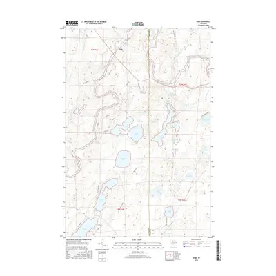
 2015 Kennan NW2015 Print · USGSThe tri-county boundary of Sawyer, Price, and Rusk counties is defined by the winding waters of the Northwoods in the mid-2010s. Researchers can trace the river's rugged path through Cornsheller Rapids, Little Falls, and the Skinner Cr Flowage.
 - 2015 Map of Oxbo, 2015 Print
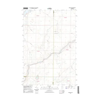
 2015 Oxbo2015 Print · USGSWisconsin's north-central lake country is documented here in the mid-2010s, centered on the Flambeau River and the settlement of Oxbo. Local historians can trace family-named roads and remote water features like Barnaby Rapids, Deadman Slough, and Jackson Springs.
 - 2015 Map of Lac Sault Dore, 2015 Print
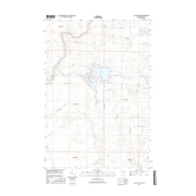 2015 Lac Sault Dore2015 Print · USGSNorthern Wisconsin lake country comes into focus in this mid-2010s survey of the Price County woods. Trace local heritage along Danish Settlement Rd or explore the waterways of Lac Sault Dore and the South Fork Flambeau River.
 - 2015 Map of Phillips, 2015 Print
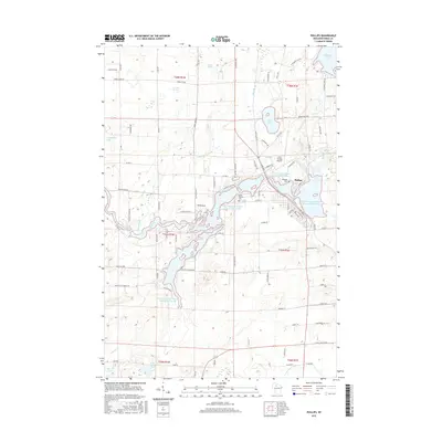 2015 Phillips2015 Print · USGSPhillips and the surrounding Price County forests are shown in detail during the mid-2010s, centered on the expansive Long Lakes and Wilson Flowage Duroy Elk. Genealogists and local historians can locate Lakeside Cem, Saint Patricks Cem, and family-named landmarks like McIlquham Lake.
 - 2018 Map of Phillips, 2018 Print
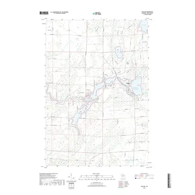 2018 Phillips2018 Print · USGSPhillips and its surrounding Northwoods lakes are detailed in this recent survey of Price County. Family researchers and historians can trace local landmarks like Lakeside Cem, the Price County Airport, and rural ways like Danish Settlement Rd.
 - 2018 Map of Oxbo, 2018 Print
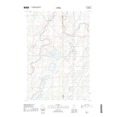 2018 Oxbo2018 Print · USGSThe Sawyer and Price county line comes alive in this 2018 survey of the Northwoods lake country. Local historians can trace the course of the Flambeau River past Barnaby Rapids and locate family landmarks near Connors Lake, Oxbo, and Jackson Springs.
 - 2018 Map of Priest Lake, 2018 Print
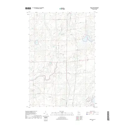 2018 Priest Lake2018 Print · USGSPrice County’s dense lake country and the Flambeau River corridor are captured here in the late twenty-tens. You can trace the river's rocky descent through Simon Rapids and Boar Rapids, or locate family cabins near Priest Lake and Sailor Creek Flowage.
 - 2018 Map of Lac Sault Dore, 2018 Print
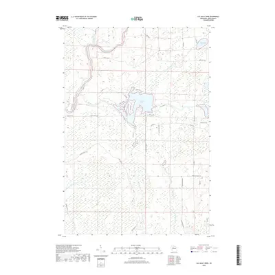 2018 Lac Sault Dore2018 Print · USGSPrice County's river-rich landscape is captured here in the late 2010s, centered on the expansive waters of Lac Sault Dore. Historians and locals can trace the paths of the South Fork Flambeau River and Elk River, or find ancestral connections near Danish Settlement Rd.
 - 2018 Map of Kennan NW, 2018 Print
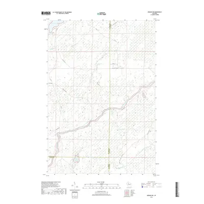 2018 Kennan NW2018 Print · USGSNorthern Wisconsin's river country is on full display here as the South Fork Flambeau River winds through the tri-county borderlands. Outdoor enthusiasts and local historians can trace the course of Big Bull Rapids, locate the Skinner Creek Flowage, and follow the historic Hines Grade through the timber.
 - 2018 Map of Lugerville, 2018 Print
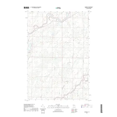 2018 Lugerville2018 Print · USGSPrice County in the early twenty-first century remains a landscape of dense wetlands and winding river forks. Genealogists and outdoorsmen can trace the namesake village of Lugerville and find historical landmarks like Rocky Carry Rapids and the Million Acre Swamp.
 - 2022 Map of Oxbo, 2022 Print
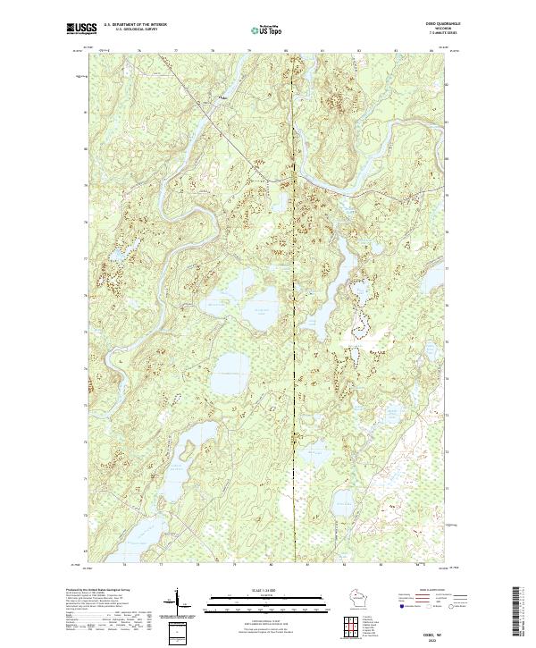 2022 Oxbo2022 Print · USGSThe Flambeau River corridor comes alive in this contemporary record of the Wisconsin Northwoods near the Sawyer and Price county line. Modern researchers can trace the shores of Lake of the Pines, locate Jackson Springs, and follow the river to Barnaby Rapids.
Showing maps 1-25 of 30
Top cities near Flambeau
- Park Falls historical maps
- Phillips historical maps
- Fifield historical maps
- Butternut historical maps
- Draper historical maps
Top neighborhoods of Flambeau
Frequently asked questions
- What are the different types of historical maps available for Flambeau?
- What is the oldest map of Flambeau?
- Where can I purchase historical maps of Flambeau for my home or office?
- Where can I download high-res historical maps of Flambeau?
- Are there historical topographic maps available for Flambeau?
- Is there historical aerial imagery available for Flambeau?
- Where are historical maps of Flambeau sourced from?