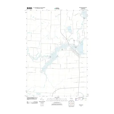
2010 Map of Phillips
USGS Topo · Published 2010About this map
Phillips serves as the focal point of this Northwoods landscape, where the Elk River winds through a dense network of flowages and glacial lakes. This 2010 topographic record captures the area's intricate hydrology, managed by infrastructure like the Solberg 2WP456 Dam and Jobes 2WP132 Dam. The town itself is oriented around the shores of Elk Lake and Duroy Lake, with essential community landmarks including Saint Patricks Cemetery and Lakeside Cemetery visible on the periphery. To the north of the settlement, the Price County Airport and the smaller Pot Lake sit near the convergence of Deer Creek and the river valley. The map details a transition from the structured street grid of Phillips to the winding rural routes like Danish Settlement Rd and Squaw Creek Rd, illustrating the modern balance between residential growth and the surrounding Wisconsin timber and water resources.
Find a feature on this map
67 named features on this map. Tap any name to fly to it.
Don’t see what you’re looking for? This feature index may not catch every label — zoom into the map to look around manually.
Map Details
Editions of this 2010 Phillips Map
This is the sole edition of this map. No revisions or reprints were ever made.
Other maps of this area

1941 · Park Falls
USGS Topo · 1:48,000

1941 · Kennan
USGS Topo · 1:48,000

1941 · Kennedy
USGS Topo · 1:48,000

1941 · Phillips
USGS Topo · 1:48,000

1943 · Park Falls
USGS Topo · 1:48,000

1943 · Philliips
USGS Topo · 1:48,000

1945 · Kennedy
USGS Topo · 1:48,000

1945 · Kennan
USGS Topo · 1:48,000

1947 · Park Falls
USGS Topo · 1:48,000

1953 · Rice Lake
USGS Topo · 1:250,000