Old Maps of Lymantown, Lake for Academic Research
Study the evolution of Lymantown with 13 high-resolution historic maps. Whether you're teaching, researching, or modeling changes in land use, these maps provide essential visual documentation of urban, environmental, and geographic change.
- Analyze long-term change: Track patterns in development, transportation, and natural features.
- Ideal for environmental or urban studies: Support academic projects with primary historical map data.
- Use in the classroom or lab: Educators and researchers rely on these maps to bring historical context to life.
These maps are a powerful tool for teaching, research, and visualizing how Lymantown has changed over the decades.
Lymantown, Lake maps
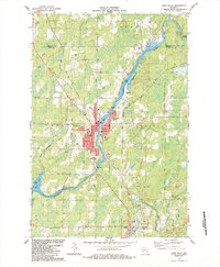
(13)- 1941 Map of Park Falls, 1952 Print
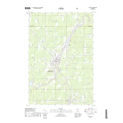
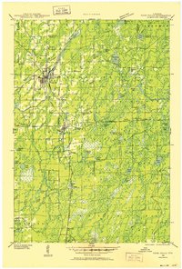 1941 Park Falls1952 Print · USGSPrice County in the early 1940s is shaped by the river-and-rail economy centered on Park Falls and Fifield. Researchers can trace old rural schoolhouses like Sugarbush Sch and forgotten rail stops at Coolidge and Lugerville.2 unique versions available
 - 1943 Map of Park Falls
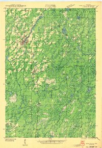 1943 Park Falls1943 Print · USGSPrice County timber and river life are frozen in time during the early 1940s, showing the early development of Park Falls and Fifield. Genealogists and historians can trace dozens of rural schoolhouses like Divine Rapids Sch and old landmarks like the Fifield Fire Tower.
 - 1947 Map of Park Falls
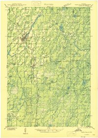 1947 Park Falls1947 Print · USGSThe Northwoods of Price County come alive in the 1940s, centered on the paper-milling hub of Park Falls and the Flambeau River. Genealogists and local historians can trace rural school districts like Sugarbush Sch or locate the site of the Fifield Fire Tower.
 - 1953 Map of Rice Lake, 1967 Print
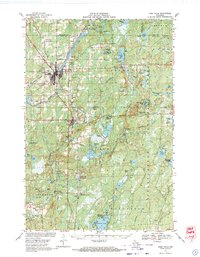
 1953 Rice Lake1967 Print · USGSNorthwest Wisconsin during the mid-fifties reveals a landscape defined by timber, rail, and water. Genealogists and historians can trace the development of river towns like Ladysmith and Rice Lake along the Soo Line and Chicago and North Western railroads.2 unique versions available
 - 1959 Map of Rice Lake
 1959 Rice Lake1959 Print · USGSNorthwest Wisconsin in the late fifties was a land of expanding road networks and deep-seated timber history. Genealogists and historians can trace rail lines like the Soo Line RR and Chicago St Paul Minneapolis and Omaha Ry as they link settlements from Spooner to Medford.
 - 1968 Map of Park Falls, 1971 Print
 1968 Park Falls1971 Print · USGSPark Falls and Fifield sit at the heart of the northern timber country in the late sixties, where the Flambeau River meets a dense network of rail lines. Researchers can trace historic logging routes like the SMITH GRADE or locate local landmarks such as Nola Cem and Solberg Lake County Park.2 unique versions available
 - 1980 Map of Park Falls
 1980 Park Falls1980 Print · USGSNorthern Wisconsin's timber and rail corridor is meticulously detailed here in the early eighties. Researchers can trace the Soo Line through forest-bound towns like Park Falls, Phillips, and Lugerville while exploring the vast Chequamegon National Forest.
 - 1984 Map of Park Falls
 1984 Park Falls1984 Print · USGSPark Falls and the surrounding Northwoods landscape appear here during the mid-eighties, centered on the river's industrial power. Researchers can trace the Soo Line rail corridor, locate Nola Cem, and explore the settlement at Lymantown.
 - 2010 Map of Park Falls, 2010 Print
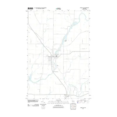 2010 Park Falls2010 Print · USGSCovers Lymantown, including Park Falls, Fifield, and other nearby areas
 - 2013 Map of Park Falls, 2013 Print
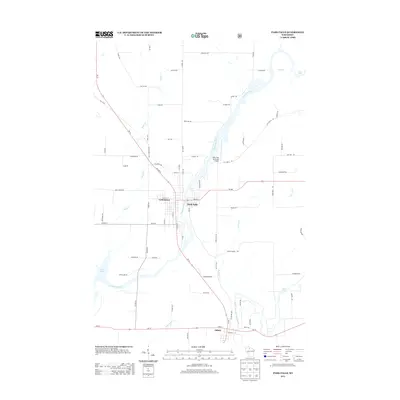 2013 Park Falls2013 Print · USGSCovers Lymantown, including Park Falls, Fifield, and other nearby areas
 - 2015 Map of Park Falls, 2015 Print
 2015 Park Falls2015 Print · USGSCovers Lymantown, including Park Falls, Fifield, and other nearby areas
 - 2018 Map of Park Falls, 2018 Print
 2018 Park Falls2018 Print · USGSCovers Lymantown, including Park Falls, Fifield, and other nearby areas
 - 2022 Map of Park Falls, 2022 Print
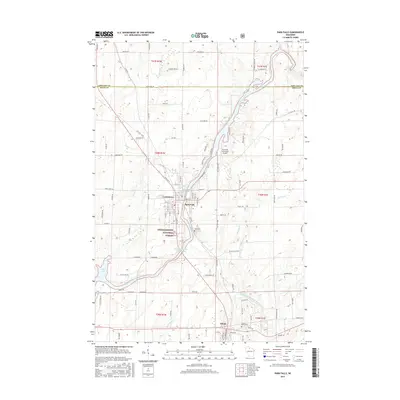
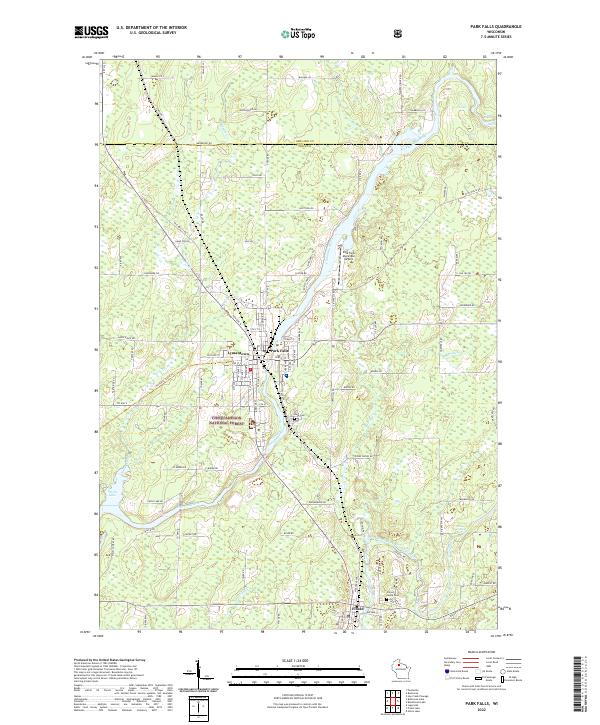 2022 Park Falls2022 Print · USGSPrice County timber and river history come alive in this survey of the Northwoods during the early twenty-first century. Researchers can trace the layout of Park Falls, find family plots in Nola Cem, and follow the Flambeau River past Divine Rapids.
End of results
Showing maps 1-13 of 13
Top cities near Lymantown
- Park Falls historical maps
- Mercer historical maps
- Phillips historical maps
- Fifield historical maps
- Butternut historical maps
- Draper historical maps
See more
Frequently asked questions
- What are the different types of historical maps available for Lymantown?
- What is the oldest map of Lymantown?
- Where can I purchase historical maps of Lymantown for my home or office?
- Where can I download high-res historical maps of Lymantown?
- Are there historical topographic maps available for Lymantown?
- Is there historical aerial imagery available for Lymantown?
- Where are historical maps of Lymantown sourced from?