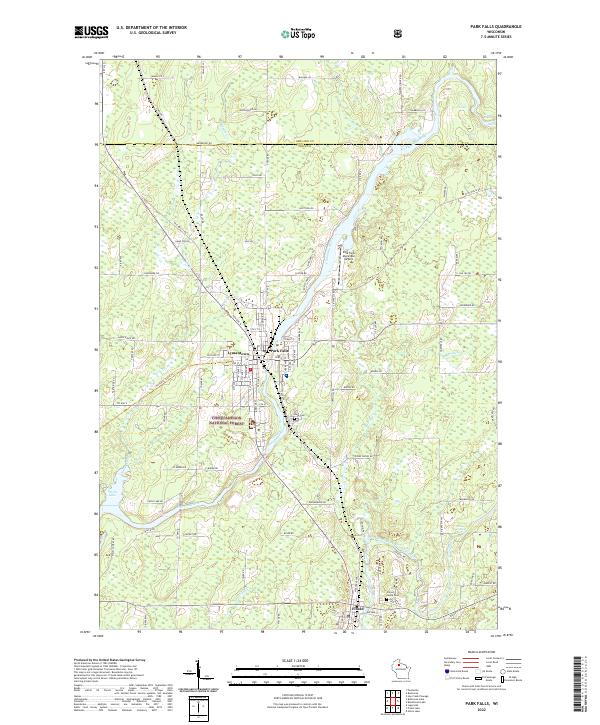
2022 Map of Park Falls
USGS Topo · Published 2022About this map
The Flambeau River winds through the heart of this Northwoods region, passing through the industrial and residential core of Park Falls and the adjacent neighborhood of Lymantown. The river's character is defined by a series of drops, including First Rapids, Second Rapids, and Third Rapids, which historically provided the water power essential for the area's timber and paper industries. Much of the surrounding landscape is protected within the Chequamegon National Forest, where a dense network of forest roads like Woodpecker Ln and Hoot Owl Rd navigate the timberland.
Find a feature on this map
113 named features on this map. Tap any name to fly to it.
Don’t see what you’re looking for? This feature index may not catch every label — zoom into the map to look around manually.
Map Details
Editions of this 2022 Park Falls Map
This is the sole edition of this map. No revisions or reprints were ever made.
Historical Maps of Lymantown Through Time
7 maps found