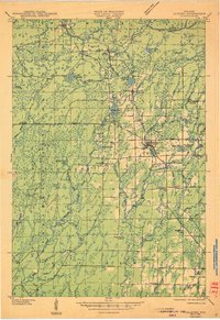
1945 Map of Glidden
USGS Topo · Published 1945About this map
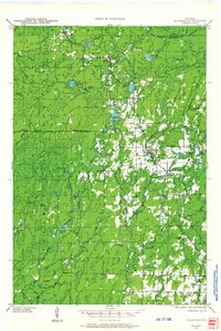
Glidden serves as the primary hub on this mid-1940s landscape, situated where State Highway No 13 meets the Soo Line railroad. The map reveals a transitional economy in the Chequamegon National Forest, where the presence of multiple abandoned schools, such as the East Side Sch and Pine Curve Sch, suggests shifting population patterns in the wake of the lumber era. To the west, the rugged terrain is marked by the Moose Hill Fire Tower, overseeing a complex network of waterways including the Chippewa River and Bad River. Smaller settlements like Shanagolden, Peeksville, and Morse are anchored by local landmarks such as the Morse Cem and the Washington Sch. This survey, compiled from aerial photographs, preserves the specific locations of rural crossroads like Popcorn Cors and industrial relics like the Dells Spur rail siding.
Find a feature on this map
54 named features on this map. Tap any name to fly to it.
Don’t see what you’re looking for? This feature index may not catch every label — zoom into the map to look around manually.
Map Details
Editions of this 1945 Glidden Map
This is the sole edition of this map. No revisions or reprints were ever made.
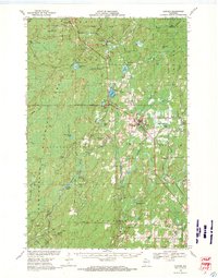
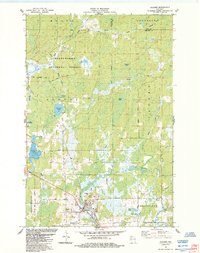
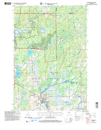
Historical Maps of Morse Through Time
6 maps found