Old Maps of West Lima, Wisconsin for Metal Detecting
Plan your next treasure hunt with 13 historic maps of West Lima. Find old homesites, ghost towns, trails, and gathering spots that may be lost to time — perfect for identifying promising metal detecting locations.
- Locate forgotten sites: Uncover places like long-lost settlements, abandoned rail lines, or gathering spots.
- Plan better hunts: Use map overlays combined with LiDAR or satellite views to narrow in on historically rich areas.
- Made for detectorists: Thousands of hobbyists use these maps to discover relics, coins, and hidden history.
Use these historic maps to boost your research and find new opportunities beneath the surface of West Lima.
West Lima, WI maps
(13)- 1926 Map of La Farge
 1926 La Farge1926 Print · USGSThe Kickapoo River valley in the mid-1920s reveals a landscape of ridge-top farms and isolated coulee settlements. Genealogists can trace family footprints across dozens of local school sites like Johnniecake School and through the rail corridor of the Chicago Milwaukee and St Paul River.3 unique versions available
 - 1958 Map of La Crosse, 1979 Print
 1958 La Crosse1979 Print · USGSThe Driftless Area of Wisconsin and Iowa is captured here during the late seventies, showing the intricate river valleys and ridge-top settlements. Genealogists and historians can trace the rail corridors of the Soo Line or locate landmarks like Grandad Bluff and Effigy Mounds National Monument.2 unique versions available
 - 1961 Map of La Crosse
 1961 La Crosse1961 Print · USGSThe Driftless Area at the start of the 1960s reveals a complex network of river towns and rail lines along the Mississippi River. Genealogists and historians can trace old settlements like New Amsterdam and Wyattville or locate major landmarks like Camp McCoy Military Reservation and Effigy Mounds National Monument.
 - 1965 Map of La Crosse
 1965 La Crosse1965 Print · USGSThe Driftless Area and the Upper Mississippi valley are captured here during a period of steady mid-century growth. Researchers can trace the rail lines of the Chicago and North Western or locate riverfront sites like Effigy Mounds National Monument and the Camp McCoy Military Reservation.
 - 1965 Map of La Farge, 1967 Print
 1965 La Farge1967 Print · USGSThe Kickapoo River valley and the ridges of Vernon County are captured here in the mid-sixties, showing a landscape defined by small-scale farming and winding valley roads. Researchers can trace rural lineages through numerous hilltop landmarks like Oak Ridge Ch, Potts Corners, and the Billings Creek Cem.
 - 1976 Map of La Crosse
 1976 La Crosse1976 Print · USGSThe Driftless Area and Mississippi River valley are captured here in the mid-seventies, showing a landscape of deep coulees and river commerce. Genealogists can trace family footprints from La Crosse to smaller hamlets like Newburg Corners and Witoka.
 - 1983 Map of West Lima, 1984 Print
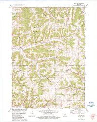 1983 West Lima1984 Print · USGSThe Driftless Area of Vernon and Richland counties comes into focus in the early 1980s, showcasing the high-ridge farmsteads and narrow valleys of the Kickapoo region. Trace family history and rural routes through West Lima, Camp Creek Cem, and Maple Ridge.
 - 1985 Map of Sparta
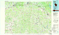 1985 Sparta1985 Print · USGSWestern Wisconsin in the 1980s shows the unique ridge-and-valley terrain of the Driftless Area during a period of transition for its rails and rural hubs. Trace the historic rail tunnels of the Elroy-Sparta State Trail and find local landmarks like St Marys Ch and Castle Rock Lake.2 unique versions available
 - 2010 Map of West Lima, 2010 Print
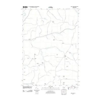 2010 West Lima2010 Print · USGSWisconsin's ridge-and-valley country is documented here in the early twenty-first century, centered on the village of West Lima. Researchers can trace specific family legacies through named locations like Booher Cemetery, the Great Western Stock Farm, and Laurel Hill Sheep Farm.
 - 2013 Map of West Lima, 2013 Print
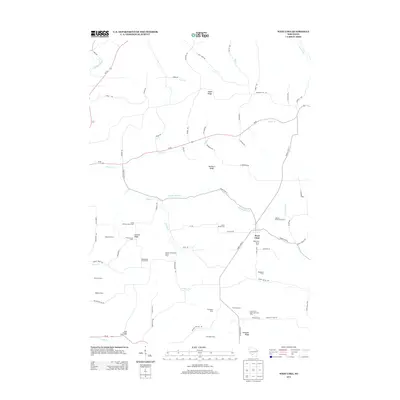 2013 West Lima2013 Print · USGSWisconsin's Driftless Area agricultural landscape is captured here in the early twenty-first century. Genealogists can trace family-named lands like the Booher Homestead Stock Farm and Hickory Grove Stock Farm near West Lima.
 - 2016 Map of West Lima, 2016 Print
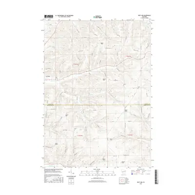 2016 West Lima2016 Print · USGSThe Driftless Area of Vernon and Richland Counties is showcased here in the mid-2010s, defined by its high ridges and deep hollows. Researchers can trace rural lineages through local landmarks like Booher Cem, the community of West Lima, and the banks of the Kickapoo River.
 - 2018 Map of West Lima, 2018 Print
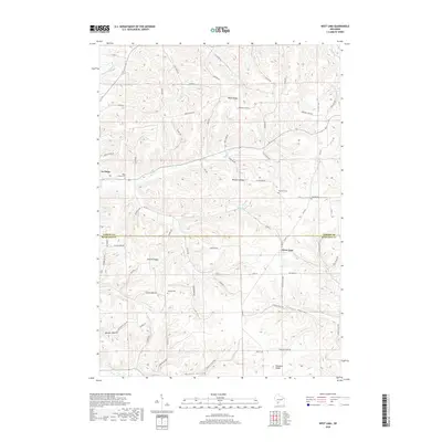 2018 West Lima2018 Print · USGSThe Driftless Area of Vernon and Richland counties comes to life in this survey of its prominent ridges and hollows. Genealogists can locate several local burial grounds like Booher Cem and Newburn Cem tucked between Summit Ridge and West Lima.
 - 2022 Map of West Lima, 2022 Print
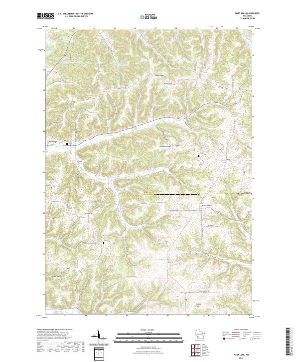 2022 West Lima2022 Print · USGSVernon and Richland counties meet in this Driftless Area landscape during the early 2020s, characterized by high ridges and deep stream valleys. Researchers can locate local burial sites like Booher Cem and Bear Creek Cem or trace the winding course of the Kickapoo River.
End of results
Showing maps 1-13 of 13
Top cities near West Lima
- Richland Center historical maps
- Hillsboro historical maps
- Greenwood historical maps
- La Farge historical maps
- Rockbridge historical maps
- Ithaca historical maps
See more
Frequently asked questions
- What are the different types of historical maps available for West Lima?
- What is the oldest map of West Lima?
- Where can I purchase historical maps of West Lima for my home or office?
- Where can I download high-res historical maps of West Lima?
- Are there historical topographic maps available for West Lima?
- Is there historical aerial imagery available for West Lima?
- Where are historical maps of West Lima sourced from?