Old Maps of Rusk, Wisconsin for Academic Research
Study the evolution of Rusk with 30 high-resolution historic maps. Whether you're teaching, researching, or modeling changes in land use, these maps provide essential visual documentation of urban, environmental, and geographic change.
- Analyze long-term change: Track patterns in development, transportation, and natural features.
- Ideal for environmental or urban studies: Support academic projects with primary historical map data.
- Use in the classroom or lab: Educators and researchers rely on these maps to bring historical context to life.
These maps are a powerful tool for teaching, research, and visualizing how Rusk has changed over the decades.
Rusk, WI maps
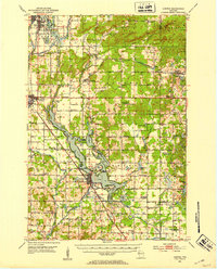
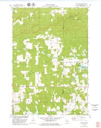
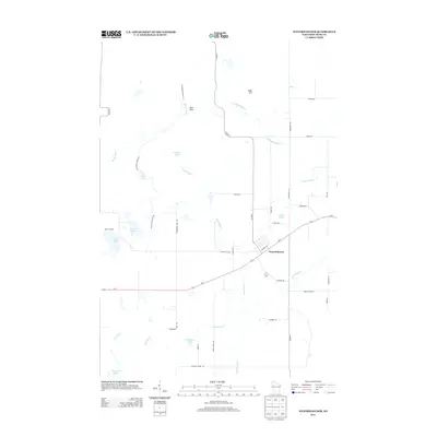
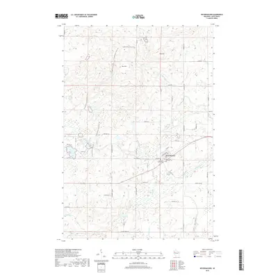
(30)- 1948 Map of Weyerhauser, 1964 Print
 1948 Weyerhauser1964 Print · USGSRusk County at mid-century is a landscape of glacial lakes and tight-knit rural districts organized around the Soo Line railroad. Genealogists can locate long-lost rural institutions including Pleasant Hill Sch, the Indian Cem, and the historic townsite of Apollonia.
 - 1950 Map of Weyerhauser
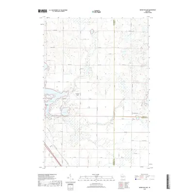
 1950 Weyerhauser1950 Print · USGSRusk County at the dawn of the 1950s reveals a transition from timber-driven rail towns to a landscape of lakeside communities. Genealogists and historians can trace local landmarks like Indian Cem, the Stan Lookout Tower, and numerous rural schoolhouses including Amacoy Sch.
 - 1951 Map of Chetek, 1953 Print
 1951 Chetek1953 Print · USGSThe Chetek region in the early fifties shows a landscape of interconnected glacial lakes and growing rail towns. Trace the history of rural education and transport through local landmarks like Edgewood Sch and the CHICAGO AND NORTH WESTERN railroad.2 unique versions available
 - 1953 Map of Rice Lake, 1967 Print
 1953 Rice Lake1967 Print · USGSNorthwest Wisconsin during the mid-fifties reveals a landscape defined by timber, rail, and water. Genealogists and historians can trace the development of river towns like Ladysmith and Rice Lake along the Soo Line and Chicago and North Western railroads.2 unique versions available
 - 1959 Map of Rice Lake
 1959 Rice Lake1959 Print · USGSNorthwest Wisconsin in the late fifties was a land of expanding road networks and deep-seated timber history. Genealogists and historians can trace rail lines like the Soo Line RR and Chicago St Paul Minneapolis and Omaha Ry as they link settlements from Spooner to Medford.
 - 1972 Map of Chain Lake, 1974 Print
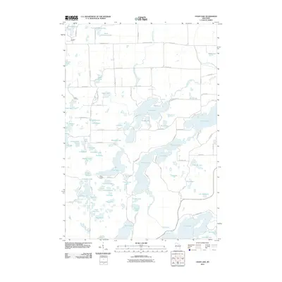
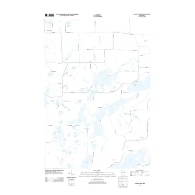
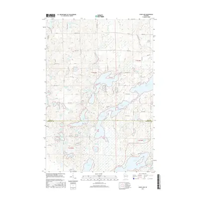
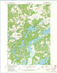 1972 Chain Lake1974 Print · USGSThe Northwoods of Wisconsin are captured in the early seventies, showcasing a dense network of glacial lakes and wilderness along the Rusk and Chippewa county line. Researchers can trace remote campsites like Two Bear Camp and local landmarks like Stang Lookout Tower or the Townhall.
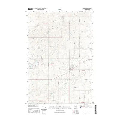
 - 1972 Map of Weyerhauser, 1974 Print
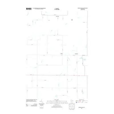
 1972 Weyerhauser1974 Print · USGSRusk County at the start of the 1970s is a landscape of glacial hills and timbered wetlands centered on the railroad village of Weyerhauser. Genealogists and local historians can trace family roots at the Polish Cem or locate old homesteads along Norwegian Road and McDermott Rd.
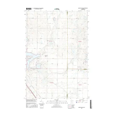
 - 1978 Map of Moose Ear Lake, 1979 Print
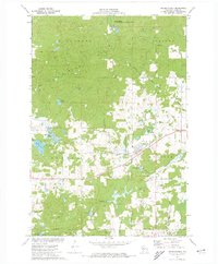
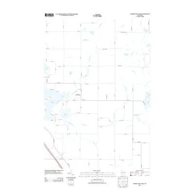
 1978 Moose Ear Lake1979 Print · USGSNorthern Wisconsin lake country is captured here in the late seventies, showing the complex shorelines and rural life of the Chetek area. You can trace family history at the Johnson Cem or locate old community landmarks like Bass Lake Ch and the Chicago and North Western rail line.
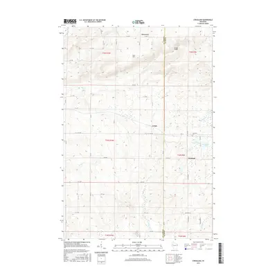
 - 1978 Map of Strickland, 1979 Print
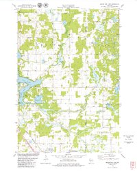
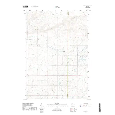
 1978 Strickland1979 Print · USGSBarron and Rusk counties were defined by heavy timber and glacial lakes in the late seventies. Family historians can trace the Soo Line rail corridor through old stops at Lehigh and Strickland, or locate family landmarks near Perdziak Lake.
 - 1980 Map of Bloomer
 1980 Bloomer1980 Print · USGSNorthwestern Wisconsin at the start of the eighties shows a landscape deeply connected to its rivers and rail lines. Genealogists and historians can trace the growth of Bloomer, Ladysmith, and Chetek or locate local landmarks like Brunet Island State Park and the Soo Line rail corridors.
 - 2010 Map of Moose Ear Lake, 2010 Print
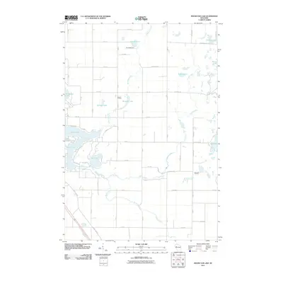 2010 Moose Ear Lake2010 Print · USGSCovers Rusk, including Chetek, Dovre, and other nearby areas
 - 2010 Map of Strickland, 2010 Print
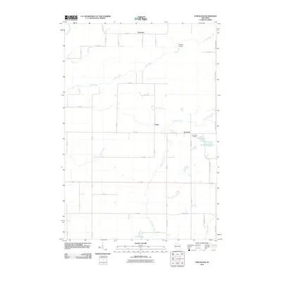 2010 Strickland2010 Print · USGSCovers Rusk, including Sumner, Strickland, and other nearby areas
 - 2010 Map of Weyerhaeuser, 2010 Print
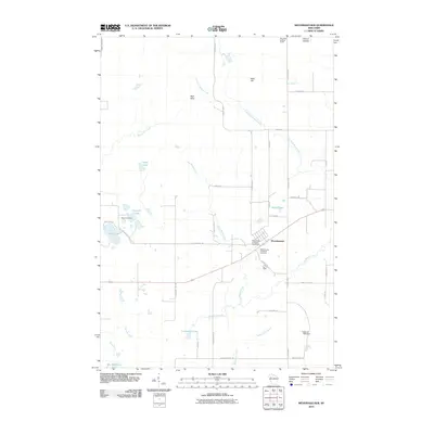 2010 Weyerhaeuser2010 Print · USGSCovers Rusk, including Weyerhaeuser, Strickland, and other nearby areas
 - 2010 Map of Chain Lake, 2010 Print
 2010 Chain Lake2010 Print · USGSCovers Rusk, including Big Bend, Sampson, and other nearby areas
 - 2013 Map of Strickland, 2013 Print
 2013 Strickland2013 Print · USGSCovers Rusk, including Sumner, Strickland, and other nearby areas
 - 2013 Map of Moose Ear Lake, 2013 Print
 2013 Moose Ear Lake2013 Print · USGSCovers Rusk, including Chetek, Dovre, and other nearby areas
 - 2013 Map of Chain Lake, 2013 Print
 2013 Chain Lake2013 Print · USGSCovers Rusk, including Big Bend, Sampson, and other nearby areas
 - 2013 Map of Weyerhaeuser, 2013 Print
 2013 Weyerhaeuser2013 Print · USGSCovers Rusk, including Weyerhaeuser, Strickland, and other nearby areas
 - 2015 Map of Weyerhaeuser, 2015 Print
 2015 Weyerhaeuser2015 Print · USGSCovers Rusk, including Weyerhaeuser, Strickland, and other nearby areas
 - 2015 Map of Moose Ear Lake, 2015 Print
 2015 Moose Ear Lake2015 Print · USGSCovers Rusk, including Chetek, Dovre, and other nearby areas
 - 2015 Map of Strickland, 2015 Print
 2015 Strickland2015 Print · USGSCovers Rusk, including Sumner, Strickland, and other nearby areas
 - 2015 Map of Chain Lake, 2015 Print
 2015 Chain Lake2015 Print · USGSCovers Rusk, including Big Bend, Sampson, and other nearby areas
 - 2018 Map of Strickland, 2018 Print
 2018 Strickland2018 Print · USGSCovers Rusk, including Sumner, Strickland, and other nearby areas
 - 2018 Map of Weyerhaeuser, 2018 Print
 2018 Weyerhaeuser2018 Print · USGSCovers Rusk, including Weyerhaeuser, Strickland, and other nearby areas
 - 2018 Map of Moose Ear Lake, 2018 Print
 2018 Moose Ear Lake2018 Print · USGSCovers Rusk, including Chetek, Dovre, and other nearby areas
Showing maps 1-25 of 30
Top cities near Rusk
- Bloomer historical maps
- Eagle Point historical maps
- Chetek historical maps
- Thornapple historical maps
- Bruce historical maps
- Sumner historical maps
See more
Frequently asked questions
- What are the different types of historical maps available for Rusk?
- What is the oldest map of Rusk?
- Where can I purchase historical maps of Rusk for my home or office?
- Where can I download high-res historical maps of Rusk?
- Are there historical topographic maps available for Rusk?
- Is there historical aerial imagery available for Rusk?
- Where are historical maps of Rusk sourced from?