2000s (21st Century) Maps of Thornapple, Wisconsin
Explore 20 historic maps of Thornapple from the 2000s (21st Century). These maps offer a rare glimpse into what life looked like during the 2000s — showing old roads, neighborhoods, homes, and landmarks that have changed or disappeared over time.
Whether you're researching your family's past, planning a metal detecting trip, or studying how Thornapple's landscape evolved across the 2000s, these high-resolution maps are a powerful tool for exploring the history of this region.
- Focus on a specific era: All maps on this page are from the 2000s, giving you a focused view of this time period.
- See what’s changed: Compare century-old streets, trails, and buildings to today's modern landscape using overlays and satellite layers.
- Research with precision: Use these maps for genealogy, historical research, land use analysis, or educational projects.
- View, download, or print: Maps are fully viewable online in high resolution, and can be downloaded or printed for your own records.
Start exploring Thornapple's history through authentic maps from the 2000s. This is your window into the past.
Thornapple, WI maps
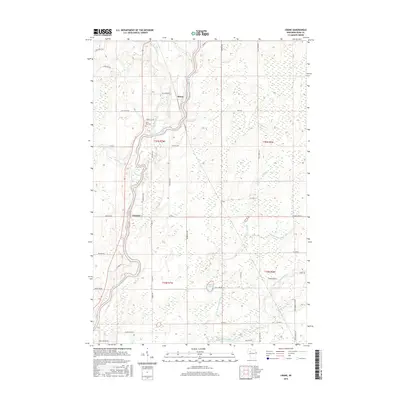
(20)- 2010 Map of Bruce, 2010 Print
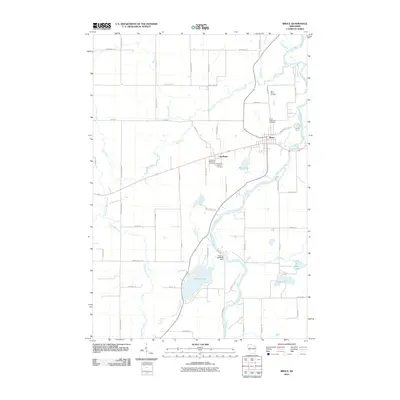 2010 Bruce2010 Print · USGSCovers Thornapple, including Bruce, Stubbs, and other nearby areas
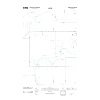
 - 2010 Map of Thornapple, 2010 Print
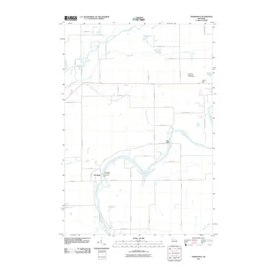 2010 Thornapple2010 Print · USGSCovers Thornapple, including Ladysmith, Atlanta, and other nearby areas
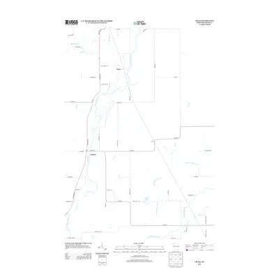
 - 2010 Map of Crane, 2010 Print
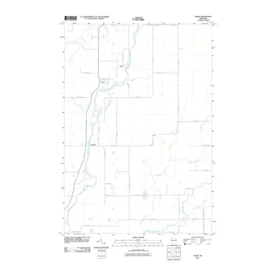 2010 Crane2010 Print · USGSCovers Thornapple, including Murry, Hubbard, and other nearby areas
 - 2010 Map of Becky Creek, 2010 Print
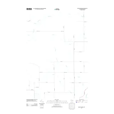
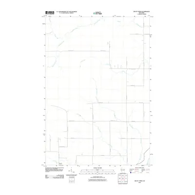 2010 Becky Creek2010 Print · USGSCovers Thornapple, including Murry, Atlanta, and other nearby areas
 - 2013 Map of Thornapple, 2013 Print
 2013 Thornapple2013 Print · USGSCovers Thornapple, including Ladysmith, Atlanta, and other nearby areas
 - 2013 Map of Crane, 2013 Print
 2013 Crane2013 Print · USGSCovers Thornapple, including Murry, Hubbard, and other nearby areas
 - 2013 Map of Becky Creek, 2013 Print
 2013 Becky Creek2013 Print · USGSCovers Thornapple, including Murry, Atlanta, and other nearby areas
 - 2013 Map of Bruce, 2013 Print
 2013 Bruce2013 Print · USGSCovers Thornapple, including Bruce, Stubbs, and other nearby areas
 - 2015 Map of Crane, 2015 Print
 2015 Crane2015 Print · USGSCovers Thornapple, including Murry, Hubbard, and other nearby areas
 - 2015 Map of Becky Creek, 2015 Print
 2015 Becky Creek2015 Print · USGSCovers Thornapple, including Murry, Atlanta, and other nearby areas
 - 2015 Map of Bruce, 2015 Print
 2015 Bruce2015 Print · USGSCovers Thornapple, including Bruce, Stubbs, and other nearby areas
 - 2015 Map of Thornapple, 2015 Print
 2015 Thornapple2015 Print · USGSCovers Thornapple, including Ladysmith, Atlanta, and other nearby areas
 - 2018 Map of Becky Creek, 2018 Print
 2018 Becky Creek2018 Print · USGSCovers Thornapple, including Murry, Atlanta, and other nearby areas
 - 2018 Map of Crane, 2018 Print
 2018 Crane2018 Print · USGSCovers Thornapple, including Murry, Hubbard, and other nearby areas
 - 2018 Map of Bruce, 2018 Print
 2018 Bruce2018 Print · USGSCovers Thornapple, including Bruce, Stubbs, and other nearby areas
 - 2018 Map of Thornapple, 2018 Print
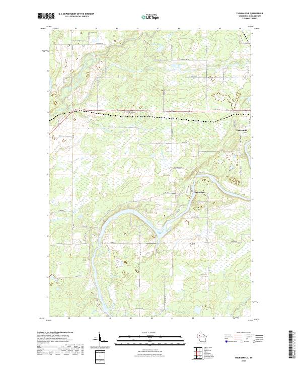
 2018 Thornapple2018 Print · USGSCovers Thornapple, including Ladysmith, Atlanta, and other nearby areas
 - 2022 Map of Thornapple, 2022 Print
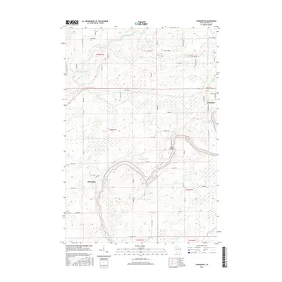
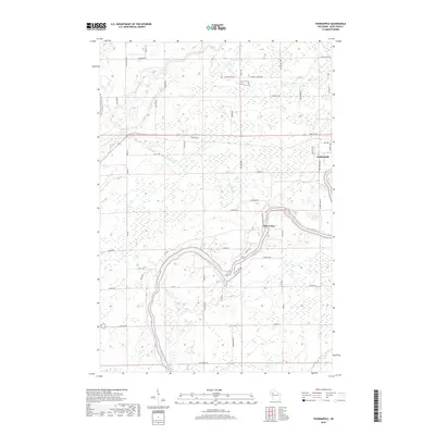
 2022 Thornapple2022 Print · USGSRusk County at the start of the 2020s shows a landscape deeply defined by its waterways and rural township roads. Genealogists and local researchers can trace the outskirts of Ladysmith and Port Arthur or locate landmarks like Saxton Lake and Sunfish Lake.
 - 2022 Map of Becky Creek, 2022 Print
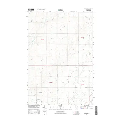
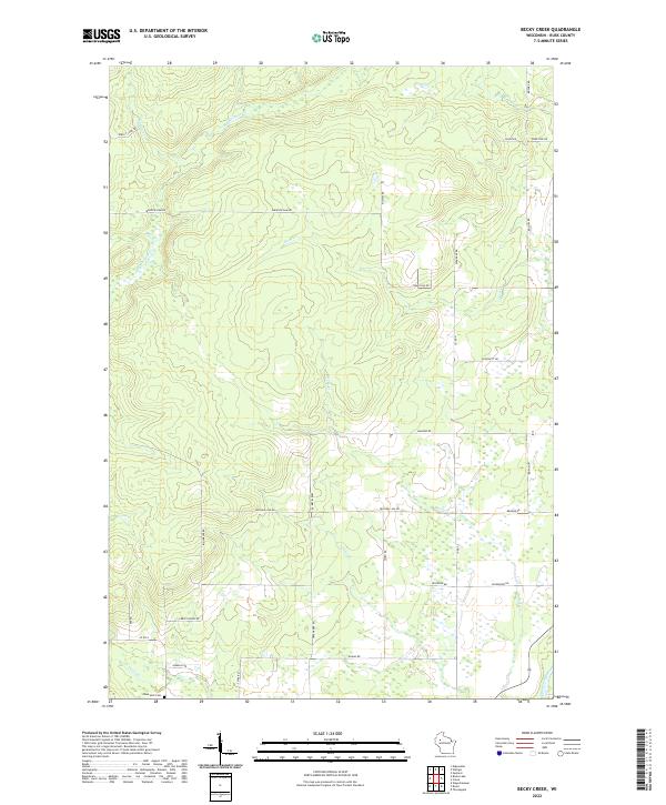 2022 Becky Creek2022 Print · USGSRusk County at the start of the 2020s remains a landscape of winding creeks and quiet rural crossings. Genealogists and local historians can trace family-named routes like Bihlmeyer Rd and locate the Blue Hills Cem near the banks of Devils Cr.
 - 2022 Map of Bruce, 2022 Print
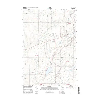
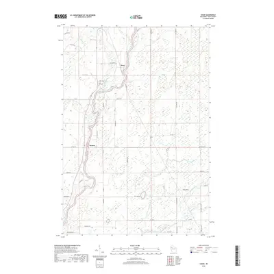
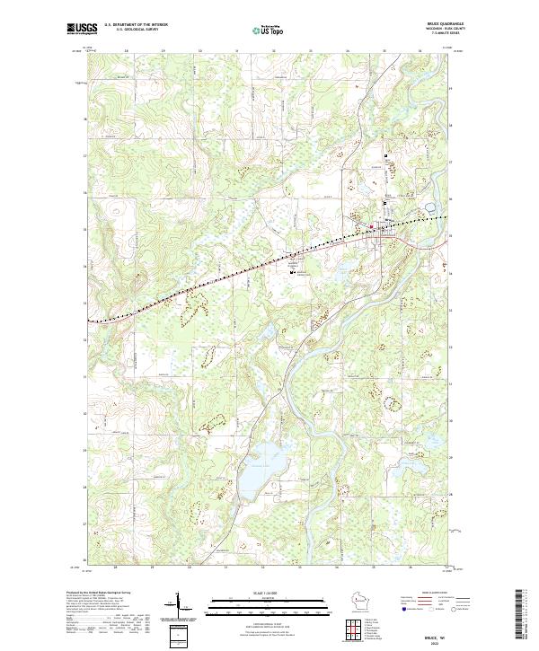 2022 Bruce2022 Print · USGSWisconsin's Northwoods landscape is captured here in the early twenty-first century, centered on the village of Bruce and the winding Chippewa River. Genealogists can trace local history through several key sites like Saint Marys Cemetery and Apollonia Catholic Cemetery.
 - 2022 Map of Crane, 2022 Print
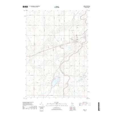
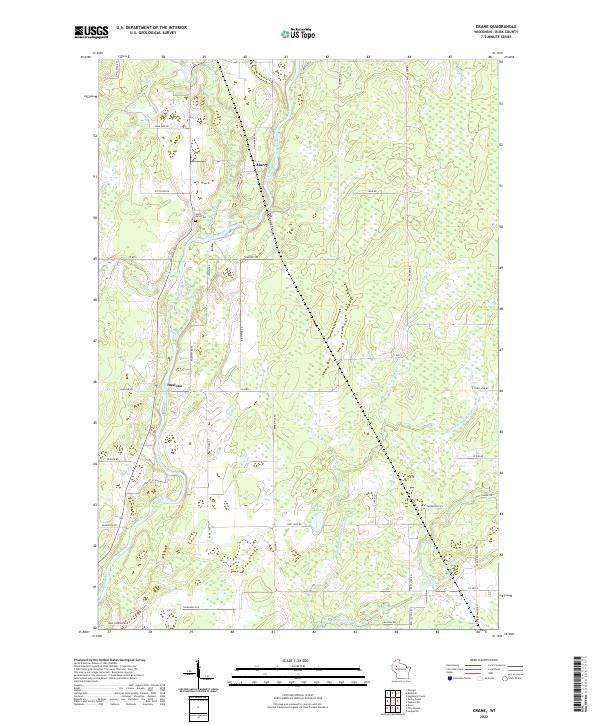 2022 Crane2022 Print · USGSRusk County's river-driven landscape is captured here in the early twenty-first century as the Chippewa River winds through rural townships. Genealogists can locate family landmarks like Saint Arins Cem and trace the small settlements of Murry and Imalone.
End of results
Showing maps 1-20 of 20
Top cities near Thornapple
- Ladysmith historical maps
- Bruce historical maps
- Edgewater historical maps
- Ruby historical maps
- Weirgor historical maps
- Weyerhaeuser historical maps
See more
Top neighborhoods of Thornapple
Frequently asked questions
- What are the different types of historical maps available for Thornapple?
- What is the oldest map of Thornapple?
- Where can I purchase historical maps of Thornapple for my home or office?
- Where can I download high-res historical maps of Thornapple?
- Are there historical topographic maps available for Thornapple?
- Is there historical aerial imagery available for Thornapple?
- Where are historical maps of Thornapple sourced from?