Old Maps of Cylon, Wisconsin for Hiking & Exploration
Hike through history with 31 historic maps of Cylon. Explore old trails, ghost towns, and forgotten backroads — perfect for outdoor adventurers and local explorers.
- Rediscover forgotten places: Map out old mining camps, roads, and footpaths that no longer exist on modern maps.
- Layer with modern tools: Combine with LiDAR or satellite views to plan hikes through historical terrain.
- Made for exploration: Popular among hikers, overlanders, and local history lovers.
Use these maps to find adventure and explore the hidden past of Cylon.
Cylon, WI maps
(31)- 1950 Map of Deer Park
 1950 Deer Park1950 Print · USGSNorthwestern Wisconsin at the end of the 1940s reveals a patchwork of small townships and dairy country connected by vital rail lines. Genealogists can trace family roots through numerous country schools like Jewett Mills Sch and historic parishes such as St Bridget Ch.2 unique versions available
 - 1953 Map of Stillwater, 1980 Print
 1953 Stillwater1980 Print · USGSThe Twin Cities and the St. Croix Valley are captured in this mid-century survey as the interstate era began to transform the Upper Midwest. Genealogists and historians can trace the rail-and-river geography of Stillwater, locate landmarks in Anoka, or explore the sprawling St Croix State Park.
 - 1955 Map of Stillwater, 1965 Print
 1955 Stillwater1965 Print · USGSThe Upper St. Croix Valley and the growing Twin Cities area are shown here during the mid-fifties, before the interstate era transformed the regional commute. You can trace the lines of the Northern Pacific RR through towns like Rush City or locate the Saint Croix Indian Reservation.
 - 1958 Map of Stillwater
 1958 Stillwater1958 Print · USGSThe Upper Mississippi and St. Croix River valleys appear in the mid-fifties as the Twin Cities expanded north. Genealogists can locate family landmarks like Oak Park Cem, Saint Michael Church, and the Soo Line RR rail corridors.2 unique versions available
 - 1965 Map of Stillwater
 1965 Stillwater1965 Print · USGSThe Twin Cities and the St. Croix Valley are mapped here during a period of significant post-war growth and industrial transit. Genealogists and historians can trace rail lines like the Northern Pacific RR through towns such as Rush City, Amery, and Balsam Lake.
 - 1975 Map of Stillwater
 1975 Stillwater1975 Print · USGSThe Twin Cities and the St. Croix Valley are captured in the mid-seventies, showing the urban growth of Minneapolis and St Paul. Researchers can trace old rail corridors of the Northern Pacific RR and locate tribal lands at the Mille Lacs Indian Reservation.2 unique versions available
 - 1975 Map of Jewett, 1978 Print
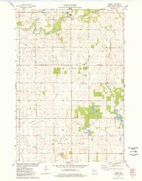 1975 Jewett1978 Print · USGSSt. Croix County farmsteads and wetlands are documented in the mid-seventies just as the landscape maintained its traditional rural character. Researchers can trace family-named landmarks near Erin Corner, locate St Patricks Ch, and follow the SOO LINE through Jewett.
 - 1975 Map of Forest, 1978 Print
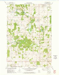 1975 Forest1978 Print · USGSWisconsin's western dairy and wetlands country is mapped here in the mid-seventies, highlighting the rural communities of St. Croix and Polk Counties. Trace the Chicago and North Western rail line and conservation sites like the Cylon State Public Hunting Grounds.
 - 1975 Map of Deer Park, 1978 Print
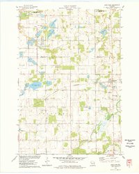 1975 Deer Park1978 Print · USGSDeer Park and Stanton are captured in the mid-1970s, showcasing a landscape where railroad commerce meets the wetlands of northern St. Croix County. Researchers can trace the heritage of local parishes and families at East Emanuel Ch, Calvary Cem, and Wagon Landing Cem.
 - 1975 Map of Emerald, 1978 Print
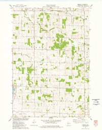 1975 Emerald1978 Print · USGSEmerald and Cylon appear in the mid-seventies as classic Wisconsin dairy settlements defined by their rivers and former rail corridors. Researchers can trace local lineage at Holy Rosary Cem and Greenwood Cem or follow the path of the Old Railroad Grade.
 - 1985 Map of Stillwater
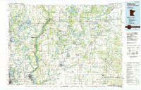 1985 Stillwater1985 Print · USGSThe St. Croix River valley in the mid-1980s reveals a borderland of river towns and conservation areas. Trace the rail lines of the Soo Line, locate the Minnesota State Prison, and explore the numerous wildlife areas like Cylon Marsh.2 unique versions available
 - 2010 Map of Deer Park, 2010 Print
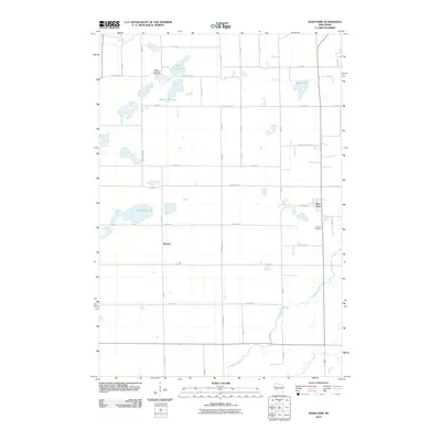 2010 Deer Park2010 Print · USGSSaint Croix County at the start of the 2010s reveals a landscape of quiet lakeside settlements and rural crossroads. Researchers can trace family sites near Wagon Landing Cemetery, explore the environs of Deer Park, or follow the South Fork Willow River through the township.
 - 2010 Map of Jewett, 2010 Print
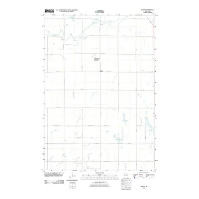 2010 Jewett2010 Print · USGSSaint Croix County at the start of the decade reveals a well-ordered agricultural landscape between the Willow River and Kinnickinnic River. Genealogists and local historians can trace property boundaries near Jewett, Erin Corner, and Bushnell Lake.
 - 2010 Map of Emerald, 2010 Print
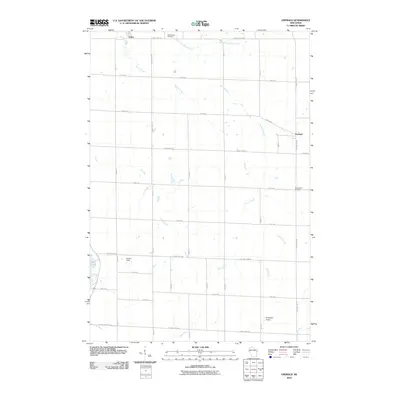 2010 Emerald2010 Print · USGSSaint Croix County at the start of the 2010s reveals a structured agricultural landscape shaped by numerous river headwaters. Researchers can locate family heritage at Holy Rosary Cemetery or trace the early paths of the Rush River and Carr Creek.
 - 2010 Map of Forest, 2010 Print
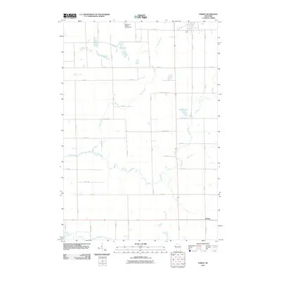 2010 Forest2010 Print · USGSWisconsin's agricultural heartland in the early twenty-first century is captured here in a landscape of winding river systems and section-line roads. Genealogists and local historians can trace the rural layout around Forest or locate properties near Bone Lake and the Willow River.
 - 2013 Map of Forest, 2013 Print
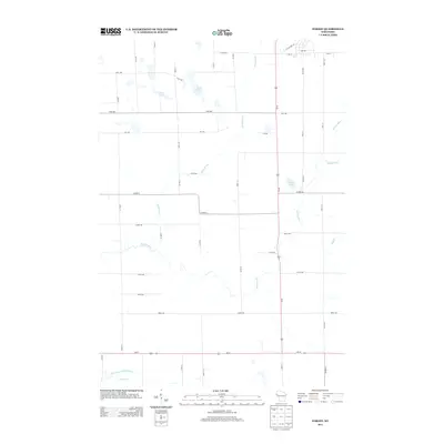 2013 Forest2013 Print · USGSPolk County land patterns and water resources are documented here in the early twenty-first century. Genealogists and local historians can trace property boundaries and landmarks near Bone Lake, Long Lake, and the winding Willow River.
 - 2013 Map of Jewett, 2013 Print
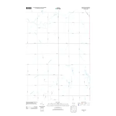 2013 Jewett2013 Print · USGSWestern Wisconsin's dairy country and glacial lake plains are captured here in the early twenty-first century. Researchers can trace the rural landscape between the Willow River and Kinnickinnic River, locating family land near Casey Lake and Bushnell Lake.
 - 2013 Map of Deer Park, 2013 Print
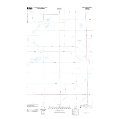 2013 Deer Park2013 Print · USGSWestern Wisconsin's rural landscape is captured here in the early twenty-first century, showing the intersection of agricultural grids and glacial waterways. Genealogists and local historians can trace family land proximity to North Fish Lake, Oak Ridge Lake, or the banks of the Willow River.
 - 2013 Map of Emerald, 2013 Print
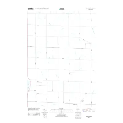 2013 Emerald2013 Print · USGSSaint Croix County in the early 2010s shows a landscape of precision farming and private aviation. Genealogists and local historians can trace the rural grid while locating family-named airstrips like Kanten Field Airport and Windsong Farm Airport near the Rush River.
 - 2015 Map of Emerald, 2015 Print
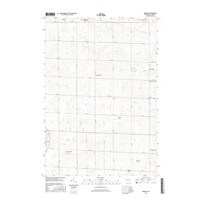 2015 Emerald2015 Print · USGSSaint Croix County at the start of the 2010s shows a classic Wisconsin agricultural landscape shaped by the Rush River and S Fork Willow River. Genealogists and local historians can locate Holy Rosary Cem, the village of Emerald, and several small private landing strips like Flyplassen Airport.
 - 2015 Map of Deer Park, 2015 Print
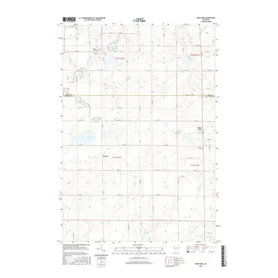 2015 Deer Park2015 Print · USGSThe rural borderlands of St. Croix and Polk counties are mapped in detail during the mid-2010s. Researchers can trace local heritage at Wagon Landing Cemetery and Calvary Cemetery or locate residences near Deer Park and Stanton.
 - 2015 Map of Forest, 2015 Print
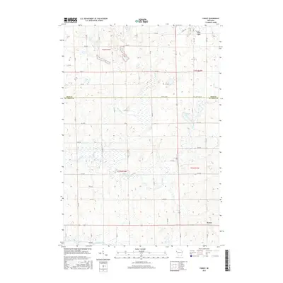 2015 Forest2015 Print · USGSThe rural border of Polk and St. Croix counties is documented here in the mid-2010s, showing a landscape defined by glacial lakes and river forks. Genealogists and local researchers can trace the roads and waterways around Forest, Cylon, and Bone Lake.
 - 2015 Map of Jewett, 2015 Print
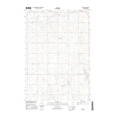 2015 Jewett2015 Print · USGSJewett and the surrounding Saint Croix County countryside are shown here in the mid-2010s, illustrating a landscape of interconnected river systems and rural farmsteads. Researchers can trace the courses of the Kinnickinnic River and Willow River or locate local landmarks like Bushnell Lake and Goose Pond.
 - 2018 Map of Forest, 2018 Print
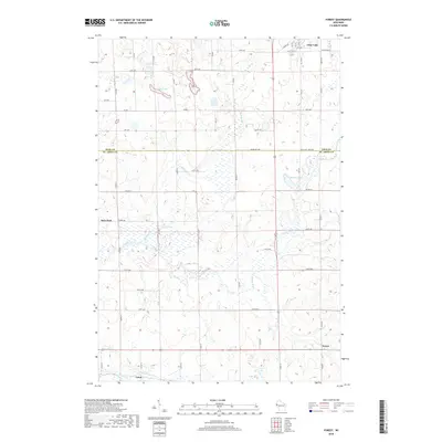 2018 Forest2018 Print · USGSThe Polk and St. Croix county line comes alive in this 2010s survey, showing the agricultural heartland and wetlands of Western Wisconsin. Genealogists and local historians can trace the rural layouts of Clear Lake, Deer Park, and Cylon along the Willow River.
 - 2018 Map of Deer Park, 2018 Print
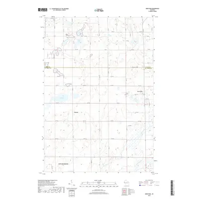 2018 Deer Park2018 Print · USGSDeer Park and the northern fringes of New Richmond are shown here in the late 2010s during a period of steady rural development. Researchers can locate family landmarks like Wagon Landing Cemetery and Calvary Cemetery, or trace the banks of the Willow River.
Showing maps 1-25 of 31
Top cities near Cylon
- New Richmond historical maps
- Baldwin historical maps
- Amery historical maps
- Town of Alden historical maps
- Town of Lincoln historical maps
- Roberts historical maps
See more
Frequently asked questions
- What are the different types of historical maps available for Cylon?
- What is the oldest map of Cylon?
- Where can I purchase historical maps of Cylon for my home or office?
- Where can I download high-res historical maps of Cylon?
- Are there historical topographic maps available for Cylon?
- Is there historical aerial imagery available for Cylon?
- Where are historical maps of Cylon sourced from?