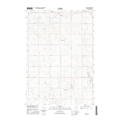
2015 Map of Jewett
USGS Topo · Published 2015About this map
Jewett sits at the northern edge of this Saint Croix County landscape, where the Willow River winds through the glacial terrain. The area is defined by its complex hydrology, with the Kinnickinnic River and the upper reaches of the Rush River shaping the drainage patterns across the township lines of t31n r17w and t30n r17w. The map reveals a high density of small water bodies and wetlands characteristic of this part of Wisconsin, including Goose Pond, Casey Lake, and Bushnell Lake.
Find a feature on this map
44 named features on this map. Tap any name to fly to it.
Don’t see what you’re looking for? This feature index may not catch every label — zoom into the map to look around manually.
Map Details
Editions of this 2015 Jewett Map
This is the sole edition of this map. No revisions or reprints were ever made.
Other maps of this area

1946 · River Falls
USGS Topo · 1:62,500

1948 · New Richmond
USGS Topo · 1:62,500

1949 · New Richmond
USGS Topo · 1:62,500

1949 · River Falls
USGS Topo · 1:62,500

1949 · Baldwin
USGS Topo · 1:62,500

1950 · Deer Park
USGS Topo · 1:62,500

1953 · Saint Paul
USGS Topo · 1:250,000

1953 · Stillwater
USGS Topo · 1:250,000

1955 · Stillwater
USGS Topo · 1:250,000

1958 · Stillwater
USGS Topo · 1:250,000