Old Maps of Pleasant Valley, Wisconsin for Metal Detecting
Plan your next treasure hunt with 17 historic maps of Pleasant Valley. Find old homesites, ghost towns, trails, and gathering spots that may be lost to time — perfect for identifying promising metal detecting locations.
- Locate forgotten sites: Uncover places like long-lost settlements, abandoned rail lines, or gathering spots.
- Plan better hunts: Use map overlays combined with LiDAR or satellite views to narrow in on historically rich areas.
- Made for detectorists: Thousands of hobbyists use these maps to discover relics, coins, and hidden history.
Use these historic maps to boost your research and find new opportunities beneath the surface of Pleasant Valley.
Pleasant Valley, WI maps
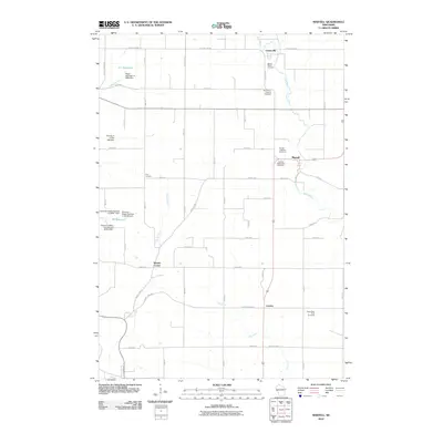
(17)- 1949 Map of Baldwin
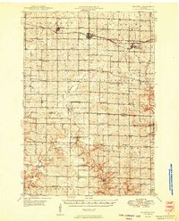 1949 Baldwin1949 Print · USGSThe dairy lands of St. Croix and Pierce counties thrive in the late 1940s as the rail line connects the bustling hubs of Baldwin and Woodville. Genealogists and historians can locate dozens of neighborhood landmarks, from the Emmanuel Lutheran Ch to rural schools like Birchdale Sch and Loyalty Sch.2 unique versions available
 - 1953 Map of Saint Paul, 1964 Print
 1953 Saint Paul1964 Print · USGSThe Twin Cities and the Mississippi River valley are captured here at a mid-century turning point. Trace the early growth of Minneapolis and Saint Paul alongside landmarks like Lake Minnetonka and the St Croix River.4 unique versions available
 - 1959 Map of Saint Paul
 1959 Saint Paul1959 Print · USGSThe Twin Cities and southeastern Minnesota appear here in the late fifties, showing the peak of the rail era and post-war suburban growth. Genealogists can trace family footprints near Lake Minnetonka, the Univ Of Minn Rosemount Research Center, or the growing neighborhoods of Richfield.2 unique versions available
 - 1974 Map of Baldwin West, 1977 Print
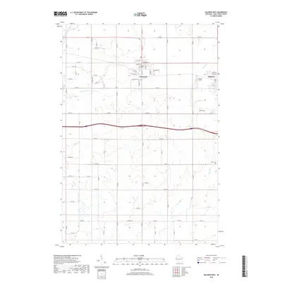
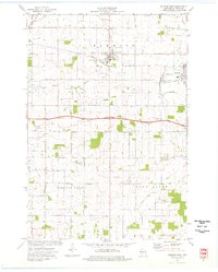 1974 Baldwin West1977 Print · USGSMid-century St. Croix County comes into focus as the Chicago and North Western railroad links the growing hubs of Hammond and Baldwin. Genealogists and local researchers can trace rural landmarks from the Catholic Cem to the Baldwin Christian Sch and the Peace Ch.
 - 1974 Map of Martell, 1977 Print
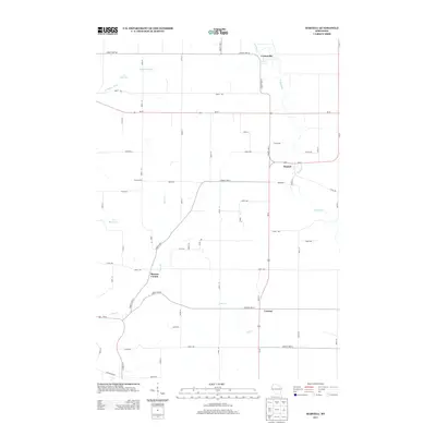
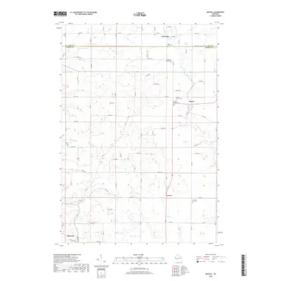
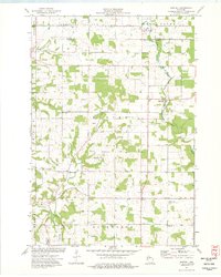 1974 Martell1977 Print · USGSWestern Wisconsin's agricultural heartland is documented in the mid-1970s, showcasing the rural crossroads of Pierce County. Genealogists can locate family landmarks like Sunnyside Sch, Mt Olivet Cem, and the Rush River Ch.
 - 1985 Map of Hastings
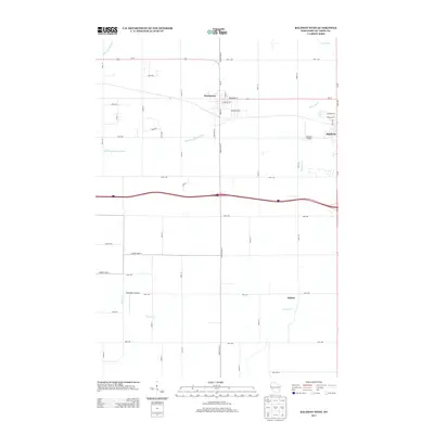
 1985 Hastings1985 Print · USGSThe river valleys of the St. Croix and Mississippi dominate this mid-eighties landscape as they border Minnesota and Wisconsin. You can trace the boundaries of the Prairie Island Indian Res, find the old rail alignments of the SOO LINE, and locate remote bluffs like Rattlesnake Point.
 - 1990 Map of Hastings, 1991 Print
 1990 Hastings1991 Print · USGSThe river confluence at Hastings and Prescott is captured here in the final decade of the twentieth century, showing a landscape defined by the Mississippi River and St Croix River. Genealogists and historians can trace rail corridors like the Soo RR and find smaller settlements such as Miesville, Wacouta, and Diamond Bluff.
 - 2010 Map of Baldwin West, 2010 Print
 2010 Baldwin West2010 Print · USGSCovers Pleasant Valley, including Baldwin, Hammond, and other nearby areas
 - 2010 Map of Martell, 2010 Print
 2010 Martell2010 Print · USGSCovers Pleasant Valley, including Ellsworth, River Falls, and other nearby areas
 - 2013 Map of Baldwin West, 2013 Print
 2013 Baldwin West2013 Print · USGSCovers Pleasant Valley, including Baldwin, Hammond, and other nearby areas
 - 2013 Map of Martell, 2013 Print
 2013 Martell2013 Print · USGSCovers Pleasant Valley, including Ellsworth, River Falls, and other nearby areas
 - 2015 Map of Martell, 2015 Print
 2015 Martell2015 Print · USGSCovers Pleasant Valley, including Ellsworth, River Falls, and other nearby areas
 - 2015 Map of Baldwin West, 2015 Print
 2015 Baldwin West2015 Print · USGSCovers Pleasant Valley, including Baldwin, Hammond, and other nearby areas
 - 2018 Map of Martell, 2018 Print
 2018 Martell2018 Print · USGSCovers Pleasant Valley, including Ellsworth, River Falls, and other nearby areas
 - 2018 Map of Baldwin West, 2018 Print
 2018 Baldwin West2018 Print · USGSCovers Pleasant Valley, including Baldwin, Hammond, and other nearby areas
 - 2022 Map of Baldwin West, 2022 Print
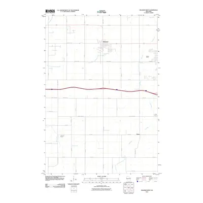
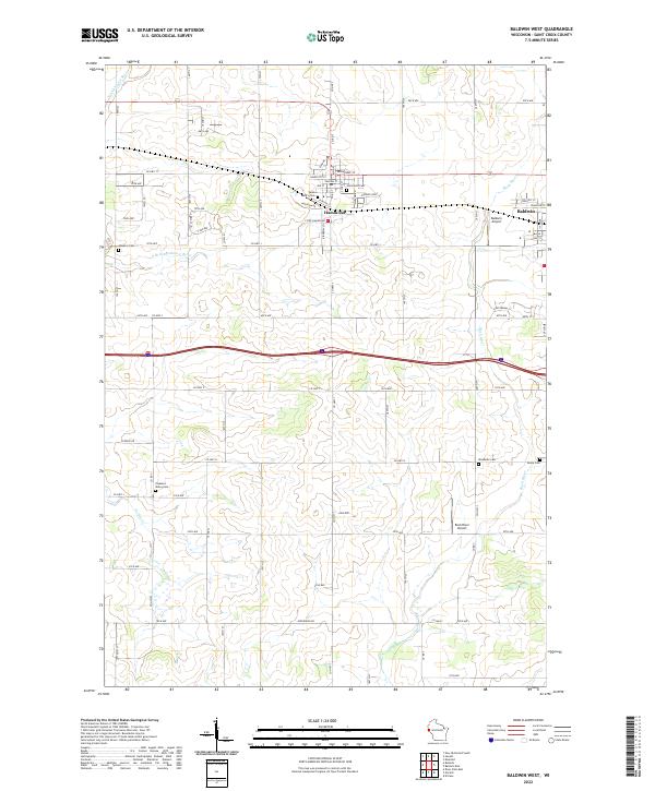 2022 Baldwin West2022 Print · USGSSaint Croix County in the early 2020s shows a landscape of established villages and persistent rural cemeteries. Genealogists can locate several historic burial sites like Saint Marys Cem and Hawkins Cem while tracing the waters of the Rush River.
 - 2022 Map of Martell, 2022 Print
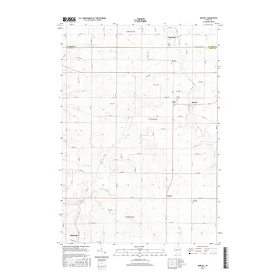
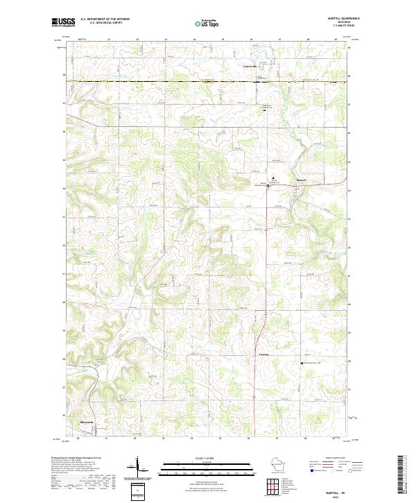 2022 Martell2022 Print · USGSEastern Pierce County is shown in the early 2020s, a landscape defined by the winding Rush River. Researchers can locate several community burial sites, including Rush River Lutheran Cem and Martell Methodist Cem.
End of results
Showing maps 1-17 of 17
Top cities near Pleasant Valley
- River Falls historical maps
- Hudson historical maps
- New Richmond historical maps
- Baldwin historical maps
- Ellsworth historical maps
- Somerset historical maps
See more
Top neighborhoods of Pleasant Valley
Frequently asked questions
- What are the different types of historical maps available for Pleasant Valley?
- What is the oldest map of Pleasant Valley?
- Where can I purchase historical maps of Pleasant Valley for my home or office?
- Where can I download high-res historical maps of Pleasant Valley?
- Are there historical topographic maps available for Pleasant Valley?
- Is there historical aerial imagery available for Pleasant Valley?
- Where are historical maps of Pleasant Valley sourced from?