Old Maps of Warren, Wisconsin for Hiking & Exploration
Hike through history with 40 historic maps of Warren. Explore old trails, ghost towns, and forgotten backroads — perfect for outdoor adventurers and local explorers.
- Rediscover forgotten places: Map out old mining camps, roads, and footpaths that no longer exist on modern maps.
- Layer with modern tools: Combine with LiDAR or satellite views to plan hikes through historical terrain.
- Made for exploration: Popular among hikers, overlanders, and local history lovers.
Use these maps to find adventure and explore the hidden past of Warren.
Warren, WI maps
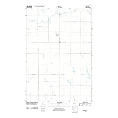
(40)- 1946 Map of River Falls, 1968 Print
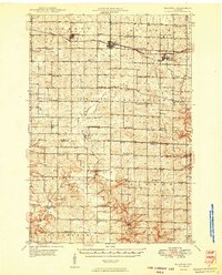
 1946 River Falls1968 Print · USGSPierce and St. Croix counties come alive in the mid-1940s, centered on the river-fed hub of River Falls. Genealogists and historians can trace dozens of rural schoolhouses and country churches, including Cherma Ch, Lafette Sch, and Glover.
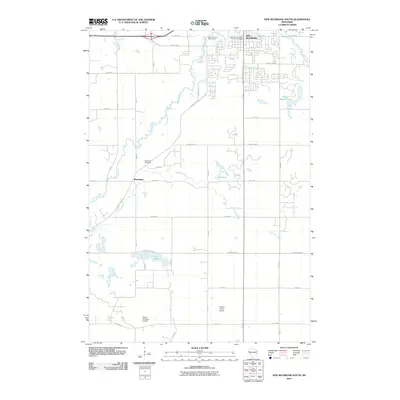
 - 1948 Map of New Richmond, 1957 Print
 1948 New Richmond1957 Print · USGSSt. Croix County at the close of the 1940s shows a landscape of river-powered hamlets and rural school districts. Genealogists can trace family footprints through sites like Schroeder Cem, Emanuel Ch, and numerous schoolhouses from Lonesome Trail Sch to Elm Park Sch.3 unique versions available
 - 1949 Map of New Richmond
 1949 New Richmond1949 Print · USGSSt. Croix County at the end of the 1940s reveals a landscape of thriving rural townships and river-driven commerce. Genealogists and historians can trace defunct rail stops like Burkhardt Sta and dozens of country schools, including Lonesome Trail Sch and Oak Hill Sch.
 - 1949 Map of River Falls
 1949 River Falls1949 Print · USGSThe St. Croix and Pierce County borderlands near the late 1940s reveal a landscape of tight-knit rural communities and bustling riverside towns. Genealogists can trace family roots through dozens of local landmarks like Cherma Ch, Warren Cem, and the Nineteen Hundred Sch.2 unique versions available
 - 1949 Map of Baldwin
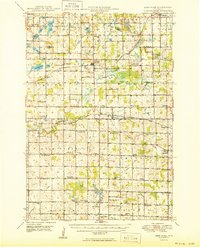
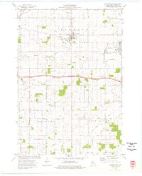
 1949 Baldwin1949 Print · USGSThe dairy lands of St. Croix and Pierce counties thrive in the late 1940s as the rail line connects the bustling hubs of Baldwin and Woodville. Genealogists and historians can locate dozens of neighborhood landmarks, from the Emmanuel Lutheran Ch to rural schools like Birchdale Sch and Loyalty Sch.2 unique versions available
 - 1950 Map of Deer Park
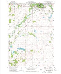
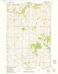
 1950 Deer Park1950 Print · USGSNorthwestern Wisconsin at the end of the 1940s reveals a patchwork of small townships and dairy country connected by vital rail lines. Genealogists can trace family roots through numerous country schools like Jewett Mills Sch and historic parishes such as St Bridget Ch.2 unique versions available
 - 1953 Map of Saint Paul, 1964 Print
 1953 Saint Paul1964 Print · USGSThe Twin Cities and the Mississippi River valley are captured here at a mid-century turning point. Trace the early growth of Minneapolis and Saint Paul alongside landmarks like Lake Minnetonka and the St Croix River.4 unique versions available
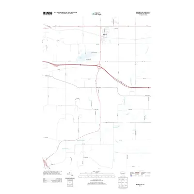
 - 1953 Map of Stillwater, 1980 Print
 1953 Stillwater1980 Print · USGSThe Twin Cities and the St. Croix Valley are captured in this mid-century survey as the interstate era began to transform the Upper Midwest. Genealogists and historians can trace the rail-and-river geography of Stillwater, locate landmarks in Anoka, or explore the sprawling St Croix State Park.
 - 1955 Map of Stillwater, 1965 Print
 1955 Stillwater1965 Print · USGSThe Upper St. Croix Valley and the growing Twin Cities area are shown here during the mid-fifties, before the interstate era transformed the regional commute. You can trace the lines of the Northern Pacific RR through towns like Rush City or locate the Saint Croix Indian Reservation.
 - 1958 Map of Stillwater
 1958 Stillwater1958 Print · USGSThe Upper Mississippi and St. Croix River valleys appear in the mid-fifties as the Twin Cities expanded north. Genealogists can locate family landmarks like Oak Park Cem, Saint Michael Church, and the Soo Line RR rail corridors.2 unique versions available
 - 1959 Map of Saint Paul
 1959 Saint Paul1959 Print · USGSThe Twin Cities and southeastern Minnesota appear here in the late fifties, showing the peak of the rail era and post-war suburban growth. Genealogists can trace family footprints near Lake Minnetonka, the Univ Of Minn Rosemount Research Center, or the growing neighborhoods of Richfield.2 unique versions available
 - 1965 Map of Stillwater
 1965 Stillwater1965 Print · USGSThe Twin Cities and the St. Croix Valley are mapped here during a period of significant post-war growth and industrial transit. Genealogists and historians can trace rail lines like the Northern Pacific RR through towns such as Rush City, Amery, and Balsam Lake.
 - 1974 Map of New Richmond South, 1977 Print
 1974 New Richmond South1977 Print · USGSSt. Croix County during the mid-seventies shows a landscape of farmsteads and growing townships connected by the Chicago and North Western rail. Genealogists and local historians can locate the Boardman Cemetery, trace Tenmile Creek, and see the early layout of New Richmond.
 - 1974 Map of Roberts, 1977 Print
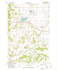 1974 Roberts1977 Print · USGSRoberts and the surrounding St. Croix County countryside are captured here in the mid-seventies as the village expanded along the Chicago and North Western rail line. Genealogists and local historians can locate family plots at Warren Cemetery or trace the winding waters of Ted Nye Creek and the South Branch Kinnickinnic River.
 - 1974 Map of Baldwin West, 1977 Print
 1974 Baldwin West1977 Print · USGSMid-century St. Croix County comes into focus as the Chicago and North Western railroad links the growing hubs of Hammond and Baldwin. Genealogists and local researchers can trace rural landmarks from the Catholic Cem to the Baldwin Christian Sch and the Peace Ch.
 - 1975 Map of Stillwater
 1975 Stillwater1975 Print · USGSThe Twin Cities and the St. Croix Valley are captured in the mid-seventies, showing the urban growth of Minneapolis and St Paul. Researchers can trace old rail corridors of the Northern Pacific RR and locate tribal lands at the Mille Lacs Indian Reservation.2 unique versions available
 - 1975 Map of Jewett, 1978 Print
 1975 Jewett1978 Print · USGSSt. Croix County farmsteads and wetlands are documented in the mid-seventies just as the landscape maintained its traditional rural character. Researchers can trace family-named landmarks near Erin Corner, locate St Patricks Ch, and follow the SOO LINE through Jewett.
 - 1985 Map of Hastings
 1985 Hastings1985 Print · USGSThe river valleys of the St. Croix and Mississippi dominate this mid-eighties landscape as they border Minnesota and Wisconsin. You can trace the boundaries of the Prairie Island Indian Res, find the old rail alignments of the SOO LINE, and locate remote bluffs like Rattlesnake Point.
 - 1985 Map of Stillwater
 1985 Stillwater1985 Print · USGSThe St. Croix River valley in the mid-1980s reveals a borderland of river towns and conservation areas. Trace the rail lines of the Soo Line, locate the Minnesota State Prison, and explore the numerous wildlife areas like Cylon Marsh.2 unique versions available
 - 1990 Map of Hastings, 1991 Print
 1990 Hastings1991 Print · USGSThe river confluence at Hastings and Prescott is captured here in the final decade of the twentieth century, showing a landscape defined by the Mississippi River and St Croix River. Genealogists and historians can trace rail corridors like the Soo RR and find smaller settlements such as Miesville, Wacouta, and Diamond Bluff.
 - 2010 Map of Roberts, 2010 Print
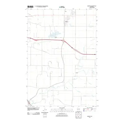 2010 Roberts2010 Print · USGSCovers Warren, including River Falls, Roberts, and other nearby areas
 - 2010 Map of Baldwin West, 2010 Print
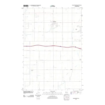 2010 Baldwin West2010 Print · USGSCovers Warren, including Baldwin, Hammond, and other nearby areas
 - 2010 Map of Jewett, 2010 Print
 2010 Jewett2010 Print · USGSCovers Warren, including New Richmond, Richmond, and other nearby areas
 - 2010 Map of New Richmond South, 2010 Print
 2010 New Richmond South2010 Print · USGSCovers Warren, including New Richmond, Richmond, and other nearby areas
 - 2013 Map of Roberts, 2013 Print
 2013 Roberts2013 Print · USGSCovers Warren, including River Falls, Roberts, and other nearby areas
Showing maps 1-25 of 40
Top cities near Warren
- River Falls historical maps
- Hudson historical maps
- New Richmond historical maps
- Prescott historical maps
- Baldwin historical maps
- Oak Park Heights historical maps
See more
Top neighborhoods of Warren
Frequently asked questions
- What are the different types of historical maps available for Warren?
- What is the oldest map of Warren?
- Where can I purchase historical maps of Warren for my home or office?
- Where can I download high-res historical maps of Warren?
- Are there historical topographic maps available for Warren?
- Is there historical aerial imagery available for Warren?
- Where are historical maps of Warren sourced from?