2000s (21st Century) Maps of Crawford Crossing, Baraboo
Explore 5 historic maps of Crawford Crossing from the 2000s (21st Century). These maps offer a rare glimpse into what life looked like during the 2000s — showing old roads, neighborhoods, homes, and landmarks that have changed or disappeared over time.
Whether you're researching your family's past, planning a metal detecting trip, or studying how Crawford Crossing's landscape evolved across the 2000s, these high-resolution maps are a powerful tool for exploring the history of this region.
- Focus on a specific era: All maps on this page are from the 2000s, giving you a focused view of this time period.
- See what’s changed: Compare century-old streets, trails, and buildings to today's modern landscape using overlays and satellite layers.
- Research with precision: Use these maps for genealogy, historical research, land use analysis, or educational projects.
- View, download, or print: Maps are fully viewable online in high resolution, and can be downloaded or printed for your own records.
Start exploring Crawford Crossing's history through authentic maps from the 2000s. This is your window into the past.
Crawford Crossing, Baraboo maps
(5)- 2010 Map of Baraboo, 2010 Print
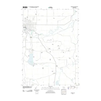 2010 Baraboo2010 Print · USGSCovers Crawford Crossing, including Baraboo, Merrimac, and other nearby areas
 - 2013 Map of Baraboo, 2013 Print
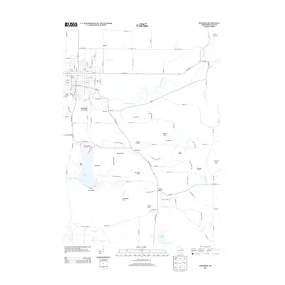 2013 Baraboo2013 Print · USGSCovers Crawford Crossing, including Baraboo, Merrimac, and other nearby areas
 - 2016 Map of Baraboo, 2016 Print
 2016 Baraboo2016 Print · USGSCovers Crawford Crossing, including Baraboo, Merrimac, and other nearby areas
 - 2018 Map of Baraboo, 2018 Print
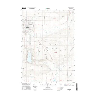
 2018 Baraboo2018 Print · USGSCovers Crawford Crossing, including Baraboo, Merrimac, and other nearby areas
 - 2022 Map of Baraboo, 2022 Print
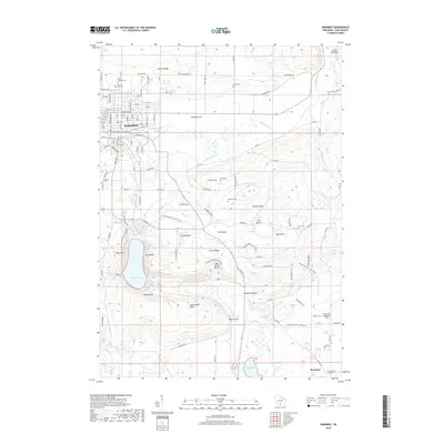
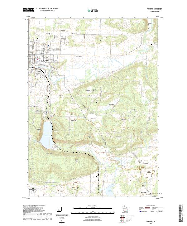 2022 Baraboo2022 Print · USGSBaraboo and the surrounding ridges are shown in high detail during the early 2020s, highlighting the dramatic elevation around the glacial lake. Local historians can trace family plots at Walnut Hill Cem or explore the corridor of the Ice Age National Scenic Trail near Sauk Point.
End of results
Showing maps 1-5 of 5
Top cities near Crawford Crossing
- Baraboo historical maps
- Portage historical maps
- Prairie du Sac historical maps
- Lake Delton historical maps
- Sauk City historical maps
- Lodi historical maps
See more
Frequently asked questions
- What are the different types of historical maps available for Crawford Crossing?
- What is the oldest map of Crawford Crossing?
- Where can I purchase historical maps of Crawford Crossing for my home or office?
- Where can I download high-res historical maps of Crawford Crossing?
- Are there historical topographic maps available for Crawford Crossing?
- Is there historical aerial imagery available for Crawford Crossing?
- Where are historical maps of Crawford Crossing sourced from?