Old Maps of Fairfield, Wisconsin for Academic Research
Study the evolution of Fairfield with 25 high-resolution historic maps. Whether you're teaching, researching, or modeling changes in land use, these maps provide essential visual documentation of urban, environmental, and geographic change.
- Analyze long-term change: Track patterns in development, transportation, and natural features.
- Ideal for environmental or urban studies: Support academic projects with primary historical map data.
- Use in the classroom or lab: Educators and researchers rely on these maps to bring historical context to life.
These maps are a powerful tool for teaching, research, and visualizing how Fairfield has changed over the decades.
Fairfield, WI maps
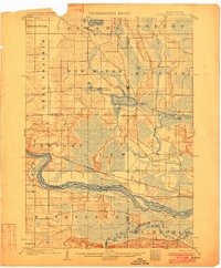
(25)- 1895 Map of Baraboo
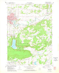
 1895 Baraboo1895 Print · USGSSauk and Columbia counties meet along the winding river corridor during this late Victorian era of rail expansion and river commerce. Genealogists and local historians can trace old homesteads and rail stops through Merrimac, Okee, and Lodi while exploring the early footprints of Baraboo.9 unique versions available
 - 1901 Map of The Dells
 1901 The Dells1901 Print · USGSSauk County and the Wisconsin River Dells were already becoming a destination at the turn of the century. Trace the early rail lines and river landmarks like Mirror Lake, Kilbourn, and the distinctive Elephants Back.6 unique versions available
 - 1902 Map of Briggsville
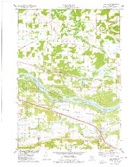
 1902 Briggsville1902 Print · USGSThe Wisconsin River valley at the turn of the century shows a landscape of river-and-rail industry. Trace the early township developments of Lewiston and Douglas, or locate original landmarks like the Levee and Big Spring.4 unique versions available
 - 1908 Map of Baraboo
 1908 Baraboo1908 Print · USGSSauk and Columbia counties at the close of the nineteenth century reveal a landscape shaped by the Wisconsin River and early rail expansion. Trace the rail lines through Baraboo and Lodi, or locate old river landings near Merrimac and Sauk.
 - 1957 Map of Wisconsin Dells, 1959 Print
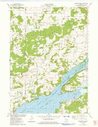
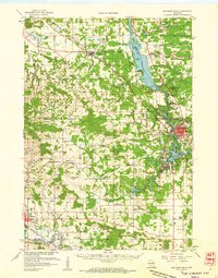 1957 Wisconsin Dells1959 Print · USGSThe Wisconsin River corridor is captured here in the mid-fifties as tourism and rail transport shaped the local economy. Genealogists and historians can trace numerous rural school sites like Jopp Sch and family landmarks such as Louie Bluff or Webster Prairie Cem.
 - 1957 Map of Madison, 1967 Print
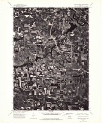
 1957 Madison1967 Print · USGSSouth-central Wisconsin in the mid-fifties reveals a landscape of industrial hubs and glacial lakes linked by a dense rail and highway network. Genealogists and historians can trace the development of lakeside communities and find notable sites like Badger Ordnance Works and the Horicon National Wildlife Refuge.3 unique versions available
 - 1958 Map of Briggsville, 1959 Print
 1958 Briggsville1959 Print · USGSThe rural landscapes of south-central Wisconsin are captured here in the late fifties, showcasing the crossroads of three counties. You can trace family history through numerous country schools like Stafford Sch and landmarks such as Douglas Ch.3 unique versions available
 - 1959 Map of Baraboo, 1961 Print
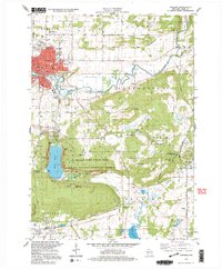
 1959 Baraboo1961 Print · USGSThe Baraboo Range and the winding Wisconsin River meet in this late-fifties study of Sauk and Columbia counties. Researchers can locate rural landmarks like Man Mound, the massive Badger Ordnance Works, and the grounds of Devils Lake State Park.4 unique versions available
 - 1960 Map of Madison
 1960 Madison1960 Print · USGSCentral and Southern Wisconsin are captured in the late fifties, showing the region as its rail-and-river network matured. Trace the paths of the Soo Line RR or locate family roots near Lake Mendota and Horicon National Wildlife Refuge.2 unique versions available
 - 1974 Map of Baraboo NW, 1976 Print
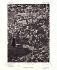 1974 Baraboo NW1976 Print · USGSThe city of Baraboo and the surrounding Wisconsin countryside are shown at the height of the 1970s through this aerial photographic survey. Researchers can trace the path of the Baraboo River or examine the shoreline of Devils Lake.
 - 1974 Map of Baraboo NE, 1976 Print
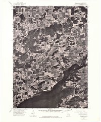 1974 Baraboo NE1976 Print · USGSThe Wisconsin River valley comes into sharp focus in the mid-seventies, showing the rural landscape of Columbia County through detailed aerial photography. Local historians can trace the shoreline of Lake Wisconsin and the path of the Wisconsin River through a patchwork of family farms and wooded bluffs.
 - 1975 Map of Wisconsin Dells SE, 1976 Print
 1975 Wisconsin Dells SE1976 Print · USGSWisconsin Dells and the Sauk County countryside are documented in the mid-seventies just as the region’s modern footprint was taking shape. You can trace the exact 1975 shoreline of Lake Delton and see the early development of Wisconsin Dells along the Wisconsin River.3 unique versions available
 - 1975 Map of Pine Island, 1978 Print
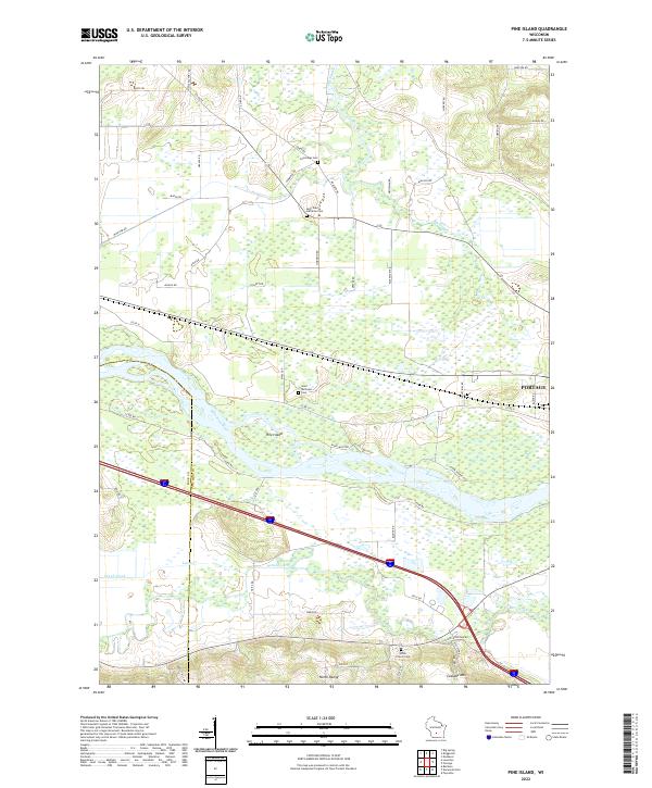
 1975 Pine Island1978 Print · USGSThe Wisconsin River and its intricate sloughs define this rural landscape in the mid-seventies, just as the local wildlife areas were becoming established. Researchers can find old community anchors like Lewiston Sch, the Welsh Cem, and the path of the Chicago Milwaukee St Paul and Pacific railroad.
 - 1975 Map of Baraboo, 1978 Print
 1975 Baraboo1978 Print · USGSBaraboo and the surrounding driftless terrain are captured here in the mid-1970s, showing the city's growth alongside significant conservation lands. Genealogists and hikers can trace old family plots like Zuch Cem or explore the preserved topography of Devils Lake State Park and the Baraboo Range.2 unique versions available
 - 1975 Map of Durwards Glen, 1978 Print
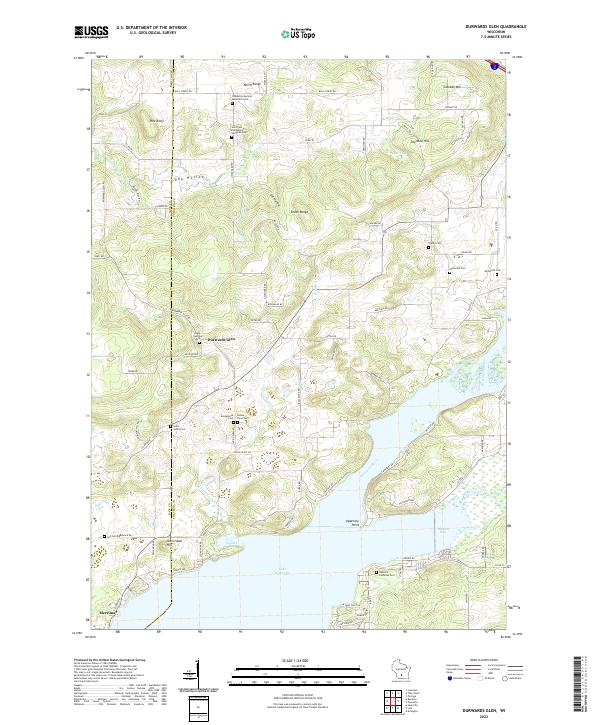
 1975 Durwards Glen1978 Print · USGSColumbia County’s ridge-and-valley landscape is documented here in the mid-seventies, showing a mix of established family farms and riverfront growth. Genealogists can locate several historic burial grounds like St Johns Cem and Evangelical Cem alongside the Caledonia Sch.
 - 1975 Map of Lewiston, 1978 Print
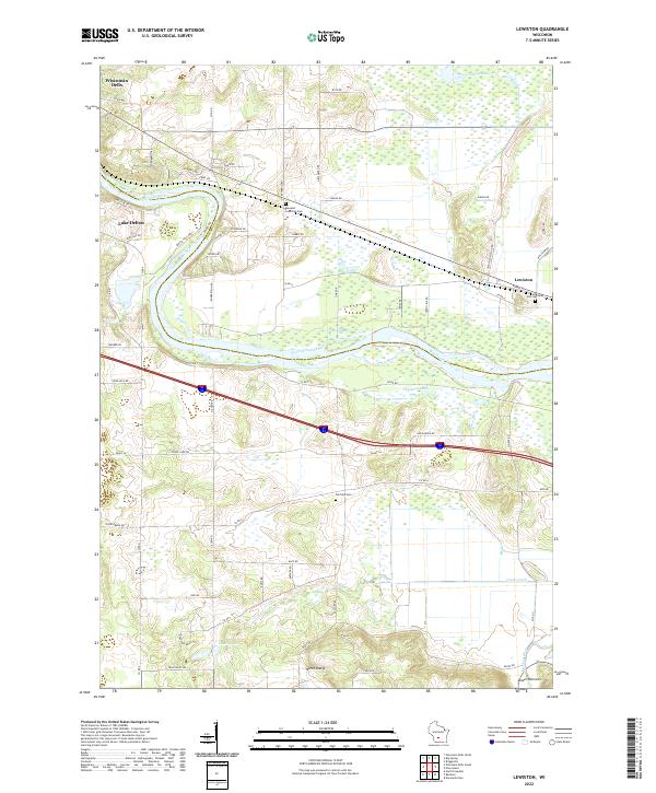
 1975 Lewiston1978 Print · USGSThe Wisconsin River valley in the mid-1970s shows a landscape of small crossroads settlements and heavy rail infrastructure. Genealogists and local historians can trace family locations near Pecks Corners, the Fairfield Center Sch, and Hillcrest Cem.
 - 1985 Map of Wisconsin Dells
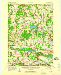
 1985 Wisconsin Dells1985 Print · USGSCentral Wisconsin in the mid-eighties was a landscape of intricate river bends, rail junctions, and sprawling marshlands. Researchers can trace historic routes along the Soo Line or locate family landmarks near Lyndon Station, Buffalo Lake, and Puckaway Lake.
 - 1990 Map of Wisconsin Dells, 1991 Print
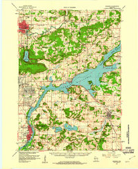
 1990 Wisconsin Dells1991 Print · USGSCentral Wisconsin's river valleys and lake country are captured in detail here during the late twentieth century. Researchers can trace the rail-and-water geography connecting Wisconsin Dells and Portage with landmarks like Blackhawk Island and Buffalo Lake.
 - 1991 Map of Madison
 1991 Madison1991 Print · USGSMadison and its iconic glacial lakes are captured here during a time of steady urban expansion and regional growth. Researchers can trace the mid-century development of the University of Wisconsin, locate family sites near Forest Hill Cem, or explore the footprint of the Badger Army Ammunition Plant.
 - 1994 Map of Baraboo, 1999 Print
 1994 Baraboo1999 Print · USGSBaraboo and the glacial landscape of Sauk County are captured here in the mid-nineties. Trace the industrial footprint of the Badger Army Ammunition Plant and the geological features of Devils Lake State Park and Parfreys Glen.
 - 2022 Map of Baraboo, 2022 Print
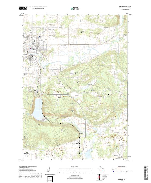 2022 Baraboo2022 Print · USGSBaraboo and the surrounding ridges are shown in high detail during the early 2020s, highlighting the dramatic elevation around the glacial lake. Local historians can trace family plots at Walnut Hill Cem or explore the corridor of the Ice Age National Scenic Trail near Sauk Point.
 - 2022 Map of Lewiston, 2022 Print
 2022 Lewiston2022 Print · USGSWisconsin Dells and the surrounding rural townships are shown here in the early twenty-first century, spanning the river-cut landscape of Sauk and Columbia counties. Researchers can trace local heritage through sites like Newport Lutheran Cem and the natural geography of the North Range and Lower Narrows.
 - 2022 Map of Durwards Glen, 2022 Print
 2022 Durwards Glen2022 Print · USGSThe Baraboo Range meets the Wisconsin River in the early 2020s, revealing a landscape where high ridges give way to expansive river bays. Genealogists can trace a remarkable number of rural burial sites, from Indian Farm Cem and Shanks Cem to the Caledonia German Methodist Cem.
 - 2022 Map of Wisconsin Dells South, 2022 Print
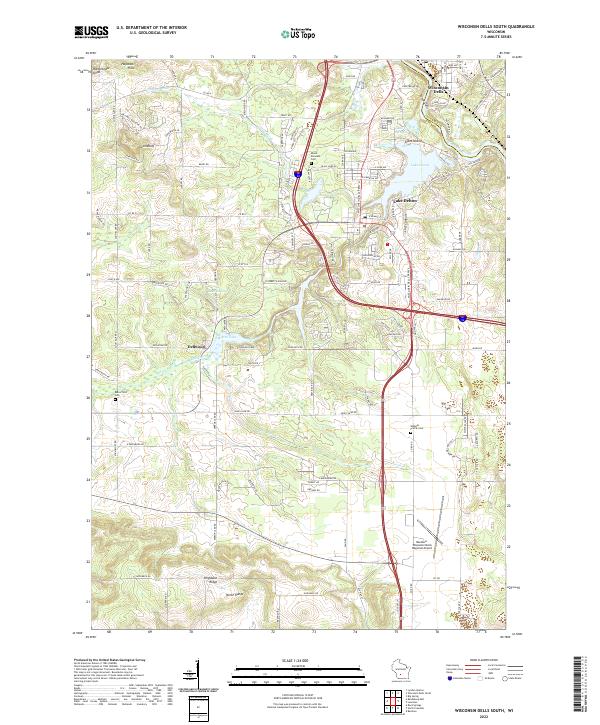 2022 Wisconsin Dells South2022 Print · USGSSauk County’s landscape near the Wisconsin River is documented here in its contemporary form. Trace the geography of local landmarks and burial sites like Mount Pleasant Cem, Lost Canyon, and the Baraboo-Wisconsin Dells Regional Airport.
 - 2022 Map of Pine Island, 2022 Print
 2022 Pine Island2022 Print · USGSThe confluence of the Wisconsin and Baraboo rivers near the Columbia and Sauk county line is shown in great detail here. Genealogists and local historians can locate family plots at Cummings Cem and Saint Michaels Cem or trace the early paths of Levee Rd.
End of results
Showing maps 1-25 of 25
Top cities near Fairfield
- Baraboo historical maps
- Portage historical maps
- Lake Delton historical maps
- Lodi historical maps
- Wisconsin Dells historical maps
- Dekorra historical maps
See more
Frequently asked questions
- What are the different types of historical maps available for Fairfield?
- What is the oldest map of Fairfield?
- Where can I purchase historical maps of Fairfield for my home or office?
- Where can I download high-res historical maps of Fairfield?
- Are there historical topographic maps available for Fairfield?
- Is there historical aerial imagery available for Fairfield?
- Where are historical maps of Fairfield sourced from?