2000s (21st Century) Maps of Fairfield, Wisconsin
Explore 25 historic maps of Fairfield from the 2000s (21st Century). These maps offer a rare glimpse into what life looked like during the 2000s — showing old roads, neighborhoods, homes, and landmarks that have changed or disappeared over time.
Whether you're researching your family's past, planning a metal detecting trip, or studying how Fairfield's landscape evolved across the 2000s, these high-resolution maps are a powerful tool for exploring the history of this region.
- Focus on a specific era: All maps on this page are from the 2000s, giving you a focused view of this time period.
- See what’s changed: Compare century-old streets, trails, and buildings to today's modern landscape using overlays and satellite layers.
- Research with precision: Use these maps for genealogy, historical research, land use analysis, or educational projects.
- View, download, or print: Maps are fully viewable online in high resolution, and can be downloaded or printed for your own records.
Start exploring Fairfield's history through authentic maps from the 2000s. This is your window into the past.
Fairfield, WI maps
(25)- 2010 Map of Baraboo, 2010 Print
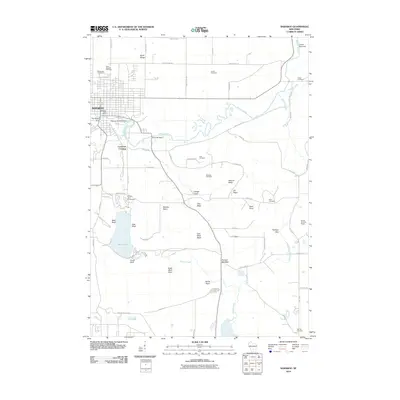 2010 Baraboo2010 Print · USGSBaraboo and the surrounding hills are documented here in the early twenty-first century as the region balanced its industrial river roots with growing recreation. Genealogists and hikers can locate numerous pioneer burial sites like Tucker Cemetery or trace the trails around Devils Lake.
 - 2010 Map of Durwards Glen, 2010 Print
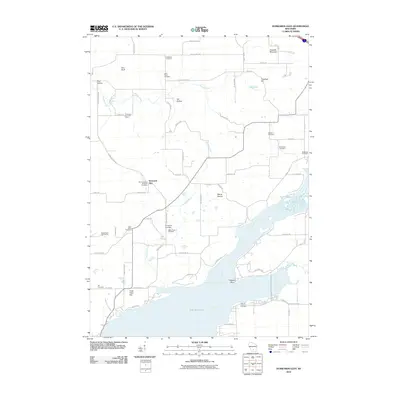 2010 Durwards Glen2010 Print · USGSColumbia County at the start of the 2010s shows a landscape where historic religious sites and the wide Wisconsin River converge. Researchers can trace numerous local burial sites like Indian Farm Cemetery and Saint Johns Cemetery alongside landmarks like Durwards Glen.
 - 2010 Map of Lewiston, 2010 Print
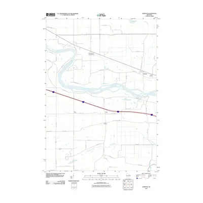 2010 Lewiston2010 Print · USGSSauk County's river-fed landscape appears here in the early twenty-first century, centered on the winding Wisconsin River. Genealogists and local researchers can trace the rural layout of Lewiston and Greens Corners, or find family roots at the Fairfield Cemetery.
 - 2010 Map of Wisconsin Dells South, 2010 Print
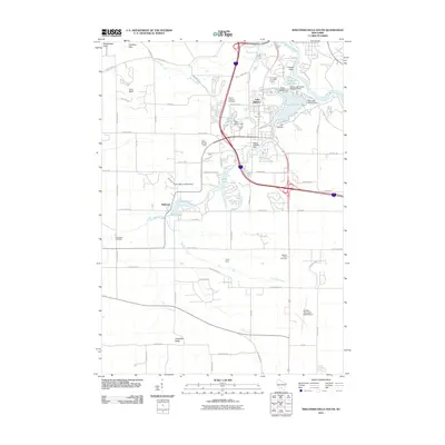 2010 Wisconsin Dells South2010 Print · USGSThe Wisconsin Dells region is documented here during a period of modern growth and recreation development. Researchers can trace the legacy of local travel and community life through landmarks like Lost Canyon, the Butterfield Cemetery, and the Medos Lake Delton Seaplane Base.
 - 2011 Map of Pine Island, 2011 Print
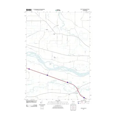 2011 Pine Island2011 Print · USGSThe Wisconsin River and Baraboo River corridors are captured here in the early twenty-first century. Researchers can trace local genealogy and land use through features like Fox Glen, Saint Michaels Cemetery, and the Lewiston 2 C 6118 Dam.
 - 2013 Map of Lewiston, 2013 Print
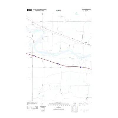 2013 Lewiston2013 Print · USGSThe riverine lowlands of the Wisconsin River valley are captured here as they appeared in 2013. Local historians can trace early settlement patterns at Pecks Corners and Lewiston or find modern landmarks like the Big Sky Twin Drive-In.
 - 2013 Map of Durwards Glen, 2013 Print
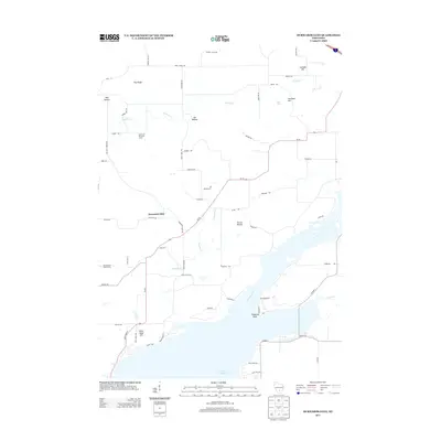 2013 Durwards Glen2013 Print · USGSColumbia County and the banks of the Wisconsin River are captured here in the early twenty-first century. Researchers can trace local landmarks like Durwards Glen and the American Ukranian Camp, or locate family sites along Konkel Mill Rd.
 - 2013 Map of Pine Island, 2013 Print
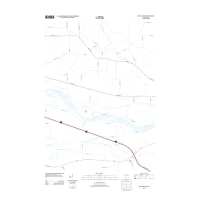 2013 Pine Island2013 Print · USGSThe braided channels of the Wisconsin River and the rural reaches of Columbia County are captured here in the early twenty-first century. Researchers can trace the river's influence on local development near Pine Island and find local landmarks like Fox Glen or Cheese Factory Rd.
 - 2013 Map of Baraboo, 2013 Print
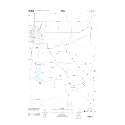 2013 Baraboo2013 Print · USGSThe Baraboo Hills region of Sauk County is captured here in the early twenty-first century, showcasing its unique terminal moraine geology. Researchers can trace the winding Ice Age Natl Scenic Trl past landmarks like Devils Lake and the high point of Sauk Point.
 - 2013 Map of Wisconsin Dells South, 2013 Print
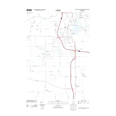 2013 Wisconsin Dells South2013 Print · USGSThe Wisconsin Dells region is shown here in the early twenty-first century, balancing its famous river tourism with established local communities and aviation hubs. Researchers can trace the layout of Lake Delton, the settlement of Dellwood, and landmarks like Lost Canyon and the Baraboo Wisconsin Dells Airport.
 - 2016 Map of Pine Island, 2016 Print
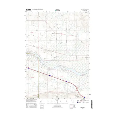 2016 Pine Island2016 Print · USGSWisconsin’s river-bottom lands west of Portage come into focus here during the mid-twenty-tens. Researchers can trace rural lineages at Saint Michaels Cem, explore the terrain near Cascade Mtn, or map the banks of the Baraboo River.
 - 2016 Map of Durwards Glen, 2016 Print
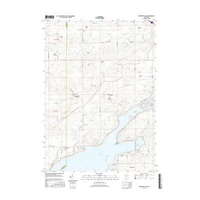 2016 Durwards Glen2016 Print · USGSColumbia and Sauk counties meet here along the shores of Lake Wisconsin and the winding Wisconsin River. Local historians can trace numerous rural burial grounds like Saint Johns Cem and McDonald Cem among the ridges of the South Range.
 - 2016 Map of Lewiston, 2016 Print
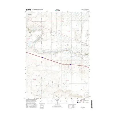 2016 Lewiston2016 Print · USGSThe Wisconsin River corridor near the Columbia and Sauk county line is shown here in the mid-2010s, balancing tourist hubs with rural township life. Genealogists can locate several local burial sites such as Newport Lutheran Cem and Fairfield Cem near the Baraboo River.
 - 2016 Map of Wisconsin Dells South, 2016 Print
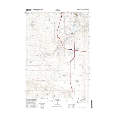 2016 Wisconsin Dells South2016 Print · USGSSauk County's famous river gorge and resort communities are shown here in the mid-2010s. Genealogists and researchers can locate old family plots at Butterfield Cem or trace the development of Dellwood and the rugged Lost Canyon.
 - 2016 Map of Baraboo, 2016 Print
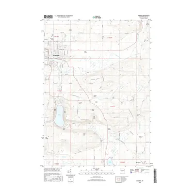 2016 Baraboo2016 Print · USGSSauk County's dramatic bluff country is mapped here in the mid-2010s, showcasing the intersection of the Baraboo River and the steep terrain of the South Range. Researchers can locate several rural burial sites like Brewster Cem and trace the extensive Ice Age National Scenic Trail.
 - 2018 Map of Pine Island, 2018 Print
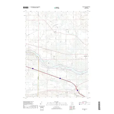 2018 Pine Island2018 Print · USGSThe confluence of the Wisconsin and Baraboo rivers defines this Columbia County landscape in the late 2010s. Genealogists and local historians can trace family ties at Saint Paul Lutheran Cem, Cummings Cem, and Saint Michaels Cem.
 - 2018 Map of Lewiston, 2018 Print
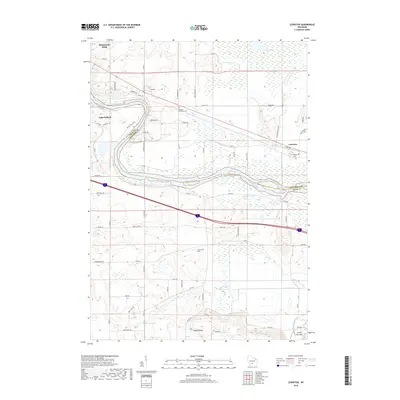 2018 Lewiston2018 Print · USGSWisconsin's river country comes to life in this survey of the Sauk and Columbia county line. Researchers can trace the banks of the Wisconsin River and locate local landmarks like the Fairfield Cem and the settlement of Lewiston.
 - 2018 Map of Wisconsin Dells South, 2018 Print
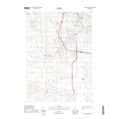 2018 Wisconsin Dells South2018 Print · USGSThe iconic resort landscape of Sauk County is captured here in the late 2010s. Genealogists and researchers can trace local family landmarks like Butterfield Cemetery or explore the natural contours of Mirror Lake, Lost Canyon, and Coon Bluff.
 - 2018 Map of Baraboo, 2018 Print
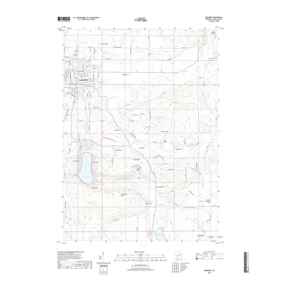 2018 Baraboo2018 Print · USGSThe Baraboo Hills dominate the landscape in the late 2010s, revealing a complex network of glacial features and early Wisconsin history. Researchers can trace family plots at Walnut Hill Cem or explore landmarks like Devils Lake and Parfreys Glen.
 - 2018 Map of Durwards Glen, 2018 Print
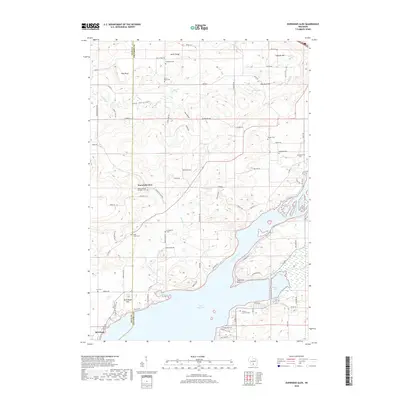 2018 Durwards Glen2018 Print · USGSThe Wisconsin River valley and the Baraboo Range come into focus in this modern survey of Columbia and Sauk counties. Family historians can locate numerous rural burial sites, including Saint Johns Cem, McDonald Cem, and the grounds at Durwards Glen.
 - 2022 Map of Baraboo, 2022 Print
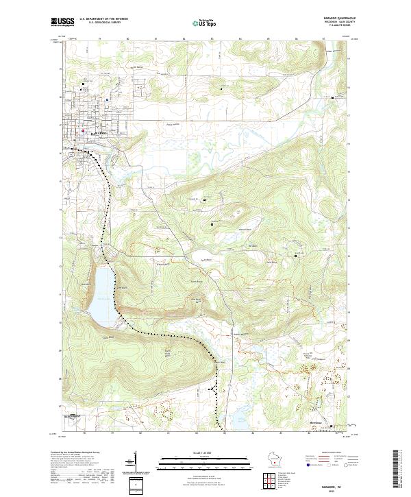 2022 Baraboo2022 Print · USGSBaraboo and the surrounding ridges are shown in high detail during the early 2020s, highlighting the dramatic elevation around the glacial lake. Local historians can trace family plots at Walnut Hill Cem or explore the corridor of the Ice Age National Scenic Trail near Sauk Point.
 - 2022 Map of Lewiston, 2022 Print
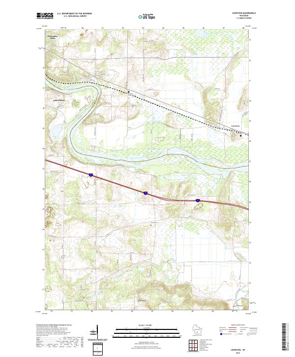 2022 Lewiston2022 Print · USGSWisconsin Dells and the surrounding rural townships are shown here in the early twenty-first century, spanning the river-cut landscape of Sauk and Columbia counties. Researchers can trace local heritage through sites like Newport Lutheran Cem and the natural geography of the North Range and Lower Narrows.
 - 2022 Map of Durwards Glen, 2022 Print
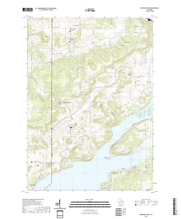 2022 Durwards Glen2022 Print · USGSThe Baraboo Range meets the Wisconsin River in the early 2020s, revealing a landscape where high ridges give way to expansive river bays. Genealogists can trace a remarkable number of rural burial sites, from Indian Farm Cem and Shanks Cem to the Caledonia German Methodist Cem.
 - 2022 Map of Wisconsin Dells South, 2022 Print
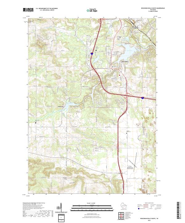 2022 Wisconsin Dells South2022 Print · USGSSauk County’s landscape near the Wisconsin River is documented here in its contemporary form. Trace the geography of local landmarks and burial sites like Mount Pleasant Cem, Lost Canyon, and the Baraboo-Wisconsin Dells Regional Airport.
 - 2022 Map of Pine Island, 2022 Print
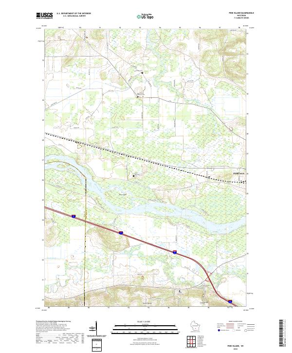 2022 Pine Island2022 Print · USGSThe confluence of the Wisconsin and Baraboo rivers near the Columbia and Sauk county line is shown in great detail here. Genealogists and local historians can locate family plots at Cummings Cem and Saint Michaels Cem or trace the early paths of Levee Rd.
End of results
Showing maps 1-25 of 25
Top cities near Fairfield
- Baraboo historical maps
- Portage historical maps
- Lake Delton historical maps
- Lodi historical maps
- Wisconsin Dells historical maps
- Dekorra historical maps
See more
Frequently asked questions
- What are the different types of historical maps available for Fairfield?
- What is the oldest map of Fairfield?
- Where can I purchase historical maps of Fairfield for my home or office?
- Where can I download high-res historical maps of Fairfield?
- Are there historical topographic maps available for Fairfield?
- Is there historical aerial imagery available for Fairfield?
- Where are historical maps of Fairfield sourced from?