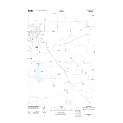
2013 Map of Baraboo
USGS Topo · Published 2013About this map
Devils Lake sits at the heart of this landscape, flanked by the dramatic elevations of West Bluff and East Bluff. The area is defined by its diverse terrain, including a series of geological basins such as Steinke Basin, Feltz Basin, and Hanson Basin. The Baraboo River winds through the northern portion of the map, passing the settlement at Crawford Crossing. Significant recreational and natural landmarks are prominent, from the waters of Koshawago Spring to the protected canyon of Parfreys Glen. The path of the Ice Age Natl Scenic Trl traverses the high ridges, connecting points of interest like Sauk Point and Devils Nose. To the south, the landscape transitions toward Gallus Slough, while local travel is facilitated by named routes like Millionaires Aly and Devils Delight Rd.
Find a feature on this map
102 named features on this map. Tap any name to fly to it.
Don’t see what you’re looking for? This feature index may not catch every label — zoom into the map to look around manually.
Map Details
Editions of this 2013 Baraboo Map
This is the sole edition of this map. No revisions or reprints were ever made.
Other maps of this area

1895 · Baraboo
USGS Topo · 1:62,500

1901 · Denzer
USGS Topo · 1:62,500

1901 · The Dells
USGS Topo · 1:62,500

1902 · Briggsville
USGS Topo · 1:62,500

1908 · Baraboo
USGS Topo · 1:62,500

1957 · Wisconsin Dells
USGS Topo · 1:62,500

1957 · Madison
USGS Topo · 1:250,000

1958 · Briggsville
USGS Topo · 1:62,500

1958 · North Freedom
USGS Topo · 1:62,500

1959 · Baraboo
USGS Topo · 1:62,500