Loading...
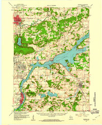
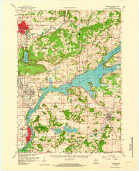
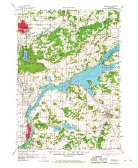
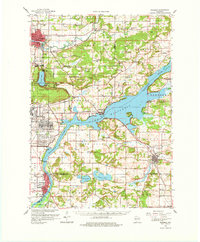
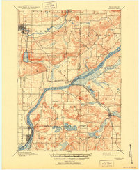
Loading map...1959 Map of Baraboo
USGS Topo · Published 1961About this map
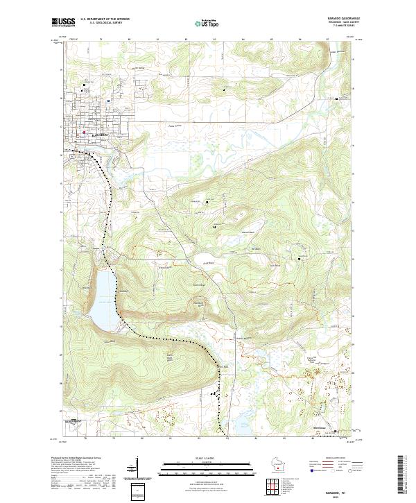
Badger Ordnance Works dominates the landscape south of the Wisconsin River in this late 1950s survey, marking a significant industrial and military presence near the Sumpter and Merrimac townships. The map documents the intricate topography of the Baraboo Range, including the dramatic bluffs around Devils Lake and the ancient landmark of Man Mound. To the south and east, the river winds through a terrain defined by glacial features and small agricultural communities like Lodi and Okee.
Find a feature on this map
108 named features on this map. Tap any name to fly to it.
Don’t see what you’re looking for? This feature index may not catch every label — zoom into the map to look around manually.
Map Details
Date Portrayed1959
Date Published1961
PublisherU.S. Geological Survey
Map TypeTopographic
Scale1:62,500
Physical Dimensions17.3 x 21.1 inches
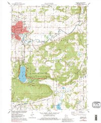
Editions of this 1959 Baraboo Map
4 editions found
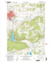
Historical Maps of Baraboo Through Time
10 maps found

Featured Locations
Source Details
SourceU.S. Geological Survey
CopyrightPublic Domain