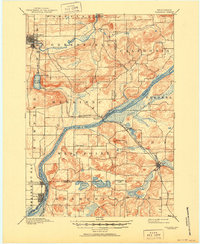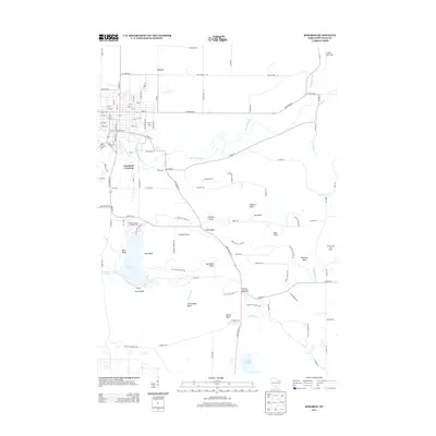
1959 Map of Baraboo
USGS Topo · Published 1977About this map
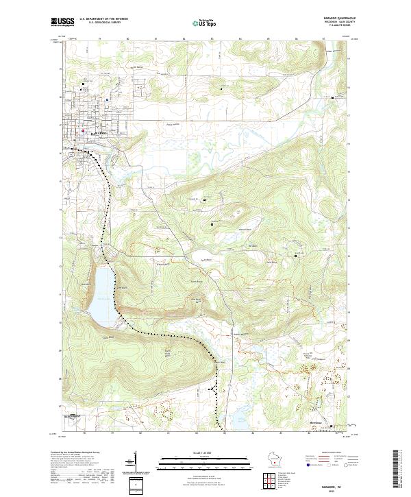
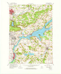
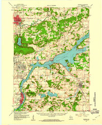
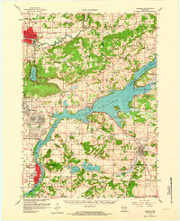
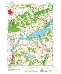
Badger Ordnance Works dominates the central landscape of this 1950s survey, illustrating the significant industrial and military presence along the Wisconsin River south of Merrimac. The region is defined by the dramatic topography of the Baraboo Range, including the steep bluffs of Devils Lake State Park and landmarks like Gibraltar Rock. Small rural settlements and educational hubs such as Sunshine Valley Sch, Man Mound Sch, and Indian Farm Sch are scattered across the townships of Sumpter, Lodi, and Greenfield. The transit corridor of the Chicago and North Western railway links the major population centers of Baraboo and Lodi with the river towns of Sauk City and Prairie du Sac. A variety of localized historical sites, from the Walnut Hill Cem to the Dekorra Ch, provide a detailed look at the mid-century social and religious fabric of Sauk and Columbia Counties.
Find a feature on this map
89 named features on this map. Tap any name to fly to it.
Don’t see what you’re looking for? This feature index may not catch every label — zoom into the map to look around manually.
Map Details
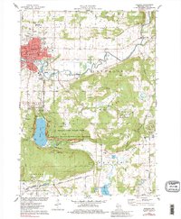
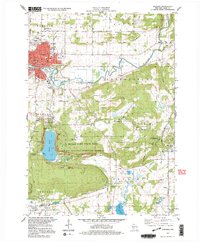
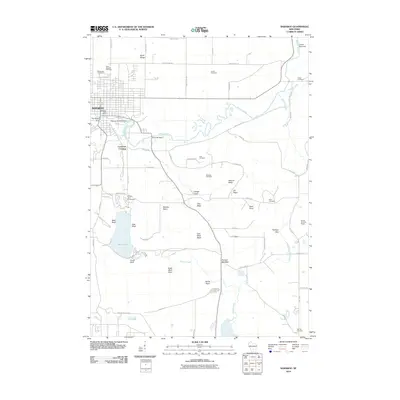
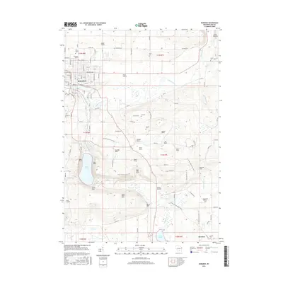
Editions of this 1959 Baraboo Map
4 editions found
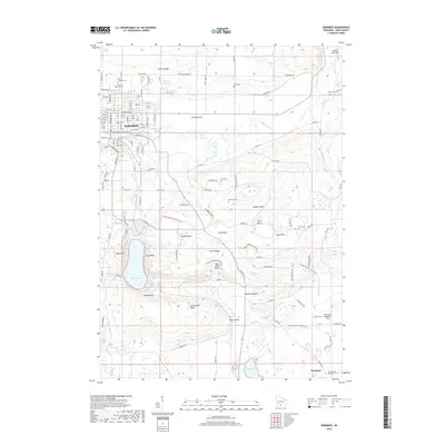
Historical Maps of Baraboo Through Time
10 maps found