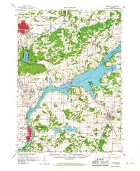
1959 Map of Baraboo
USGS Topo · Published 1968About this map
Lake Wisconsin and the winding Wisconsin River anchor this late-1950s landscape, illustrating a region defined by its complex geology and mid-century infrastructure. The presence of the massive Badger Ordnance Works near Sumpter stands as a prominent fixture of the Cold War era, while the surrounding hills reveal ancient natural landmarks like Gibraltar Rock and Parfreys Glen. To the north, the city of Baraboo serves as a central hub, connected to outlying rural settlements by the Chicago and North Western railroad.
Find a feature on this map
96 named features on this map. Tap any name to fly to it.
Don’t see what you’re looking for? This feature index may not catch every label — zoom into the map to look around manually.
Map Details
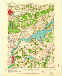
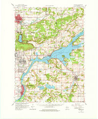
Editions of this 1959 Baraboo Map
4 editions found

Other maps of this area

1890 · Madison
USGS Topo · 1:62,500

1892 · Madison
USGS Topo · 1:62,500

1895 · Baraboo
USGS Topo · 1:62,500

1901 · Denzer
USGS Topo · 1:62,500

1901 · Poynette
USGS Topo · 1:62,500

1901 · The Dells
USGS Topo · 1:62,500

1902 · Portage
USGS Topo · 1:62,500

1902 · Briggsville
USGS Topo · 1:62,500

1904 · Madison
USGS Topo · 1:62,500

1906 · Madison
USGS Topo · 1:62,500