Old Maps of Woodland, Wisconsin for Genealogy
Trace your family roots with 32 historic maps of Woodland. These high-res maps reveal old neighborhoods, homesites, landmarks, and streets — helping you uncover where your ancestors lived and how the area evolved over time.
- Explore historic neighborhoods: Identify where your relatives may have lived in the 1800s or 1900s.
- Compare maps over time: Trace the changes in streets, buildings, and landmarks for multi-generational research.
- Perfect for genealogy & ancestry research: Used by family historians and researchers to map out lineage and migration.
These maps are an incredible resource for exploring your personal connection to Woodland's past.
Woodland, WI maps
(32)- 1927 Map of Hillsboro
 1927 Hillsboro1927 Print · USGSThe Driftless Area landscape near the Vernon and Sauk county lines is captured here in the mid-1920s. Genealogists can locate dozens of country schoolhouses like Whiteoak Grove School and tracing the route of the Chicago and Northeastern RR.2 unique versions available
 - 1956 Map of Reedsburg, 1958 Print
 1956 Reedsburg1958 Print · USGSThe Baraboo River valley at the peak of the mid-century era shows a landscape of rail-connected towns and rural school districts. Genealogists can trace family names through landmarks like Teachers College, Resting Green Cem, and Potato Hill.3 unique versions available
 - 1958 Map of La Crosse, 1979 Print
 1958 La Crosse1979 Print · USGSThe Driftless Area of Wisconsin and Iowa is captured here during the late seventies, showing the intricate river valleys and ridge-top settlements. Genealogists and historians can trace the rail corridors of the Soo Line or locate landmarks like Grandad Bluff and Effigy Mounds National Monument.2 unique versions available
 - 1961 Map of La Crosse
 1961 La Crosse1961 Print · USGSThe Driftless Area at the start of the 1960s reveals a complex network of river towns and rail lines along the Mississippi River. Genealogists and historians can trace old settlements like New Amsterdam and Wyattville or locate major landmarks like Camp McCoy Military Reservation and Effigy Mounds National Monument.
 - 1965 Map of La Crosse
 1965 La Crosse1965 Print · USGSThe Driftless Area and the Upper Mississippi valley are captured here during a period of steady mid-century growth. Researchers can trace the rail lines of the Chicago and North Western or locate riverfront sites like Effigy Mounds National Monument and the Camp McCoy Military Reservation.
 - 1966 Map of Hillsboro, 1968 Print
 1966 Hillsboro1968 Print · USGSWisconsin's Driftless Area remains a maze of ridges and coulees in the mid-sixties, centered on the growing town of Hillsboro. Genealogists can locate family roots at the Bohemian Brotherhood Cem, County Corners Sch, or along the Chicago and North Western line.
 - 1975 Map of Wonewoc, 1978 Print
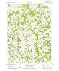 1975 Wonewoc1978 Print · USGSThe Baraboo River valley in the mid-1970s shows a landscape of ridge-top farms and river-bottom industry. Trace family roots at Pine Eden Cem or St Anns Cem, and locate landmarks like the Castle Rocks and Wonewoc village center.
 - 1975 Map of La Valle, 1978 Print
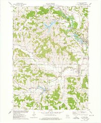 1975 La Valle1978 Print · USGSThe Baraboo River valley in the mid-seventies shows a landscape of clustered hamlets and agricultural ridges along the Sauk and Richland county lines. Genealogists can trace family names through numerous rural burial sites like Simon Hill Cem and Norwegian Cem, or locate the mills and depots of La Valle and Ironton.
 - 1976 Map of La Crosse
 1976 La Crosse1976 Print · USGSThe Driftless Area and Mississippi River valley are captured here in the mid-seventies, showing a landscape of deep coulees and river commerce. Genealogists can trace family footprints from La Crosse to smaller hamlets like Newburg Corners and Witoka.
 - 1983 Map of Valton, 1984 Print
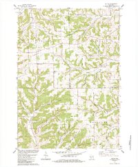 1983 Valton1984 Print · USGSThe tri-county border of Richland, Vernon, and Sauk counties comes into focus in the early 1980s, showcasing a landscape of high ridges and rural valleys. Researchers can trace family history at St Patricks Ch or locate family-named features like Benders Corners and Soules Creek.
 - 1983 Map of Hillsboro, 1984 Print
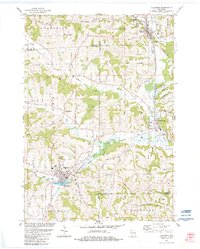 1983 Hillsboro1984 Print · USGSWisconsin’s driftless landscape at the start of the 1980s reveals a network of river-valley towns connected by rail and ridge roads. Genealogists and local historians can trace rural roots through St Patricks Cem, Hills Prairie Cem, and landmarks like Tinkers Bluff.
 - 1985 Map of Sparta
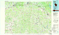 1985 Sparta1985 Print · USGSWestern Wisconsin in the 1980s shows the unique ridge-and-valley terrain of the Driftless Area during a period of transition for its rails and rural hubs. Trace the historic rail tunnels of the Elroy-Sparta State Trail and find local landmarks like St Marys Ch and Castle Rock Lake.2 unique versions available
 - 2010 Map of La Valle, 2010 Print
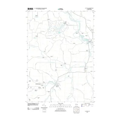 2010 La Valle2010 Print · USGSThis Richland County landscape near the turn of the decade shows a region shaped by the Baraboo River and a deep-rooted agricultural economy. Genealogists can locate over a dozen burial sites like Solchenberger Cemetery and Universal Cemetery or trace named family farmsteads.
 - 2010 Map of Valton, 2010 Print
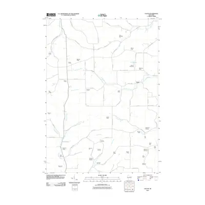 2010 Valton2010 Print · USGSAgriculture and ridge-top settlements define this Vernon County landscape in the early twenty-first century. Family historians can trace numerous named dairy estates like Echo Glen Stock Farm and locate rural burial sites such as Debello Cemetery.
 - 2010 Map of Wonewoc, 2010 Print
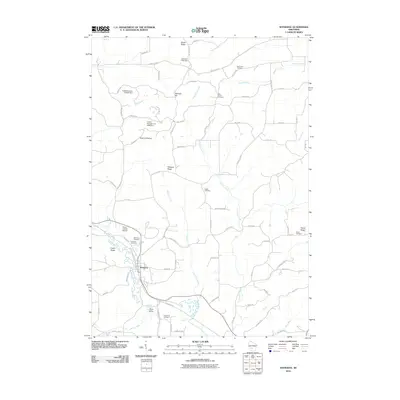 2010 Wonewoc2010 Print · USGSWisconsin’s Driftless Area character is evident in this late-career survey of the Wonewoc and Plum Valley region. Genealogists can locate family burial sites at Saint Anns Cemetery or Raese Cemetery, while tracing local landmarks like Castle Rocks and the Baraboo River.
 - 2010 Map of Hillsboro, 2010 Print
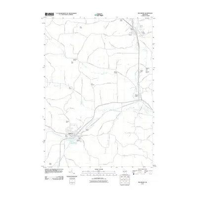 2010 Hillsboro2010 Print · USGSThe Baraboo River valley in the early twenty-first century shows a landscape where historic towns and newer recreational trails converge. Researchers can locate family heritage sites at Mount Vernon Cemetery or trace the rural character of Millards Prairie and Dutch Valley.
 - 2013 Map of Wonewoc, 2013 Print
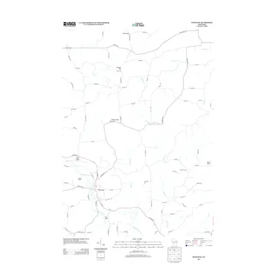 2013 Wonewoc2013 Print · USGSWonewoc and the winding Baraboo River valley are captured here in the early twenty-first century, showing the intersection of river geography and ridge-top farming. Researchers can trace local landmarks like Castle Rocks, the Three Castles Airpark, and the rural settlement at Plum Valley.
 - 2013 Map of La Valle, 2013 Print
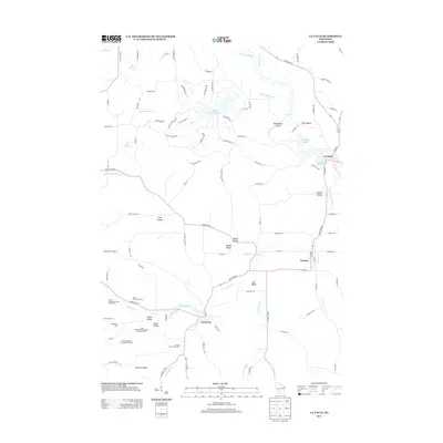 2013 La Valle2013 Print · USGSRichland and Sauk Counties are shown here during a period of established dairy farming and modern lakeside development. Researchers can trace historic farmsteads like Lone Pine Stock Farm and Village View Stock Farm alongside the village centers of Ironton and Cazenovia.
 - 2013 Map of Valton, 2013 Print
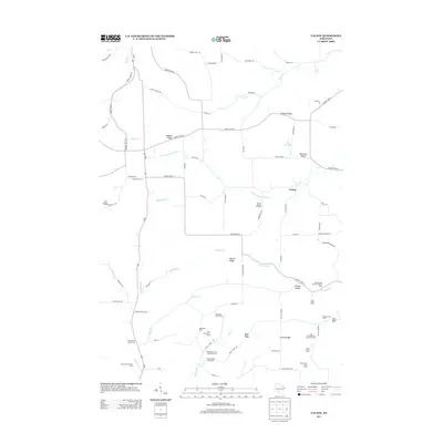 2013 Valton2013 Print · USGSGreenwood and its surrounding rural townships are shown here as a landscape of named family farms and winding river valleys. You can trace the lineage of the local dairy industry through sites like Spring Brook Stock and Dairy Farm and Maple View Stock Farm.
 - 2013 Map of Hillsboro, 2013 Print
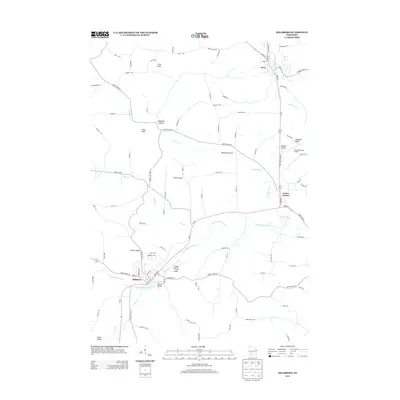 2013 Hillsboro2013 Print · USGSJuneau County's rural landscape is defined by the Baraboo River valley during the early twenty-first century. Researchers can trace local landmarks and aviation history through features like The Pinnacle, Tiedtke Valley, and Joshua Sanford Field Airport.
 - 2016 Map of Wonewoc, 2016 Print
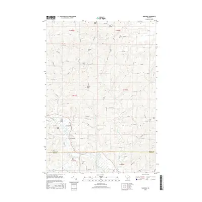 2016 Wonewoc2016 Print · USGSWisconsin's driftless hills and the banks of the Baraboo River come into focus in this modern survey of Juneau and Sauk Counties. Researchers can locate local landmarks and family burying grounds such as Pine Eden Cemetery, Castle Rocks, and Plum Valley.
 - 2016 Map of Hillsboro, 2016 Print
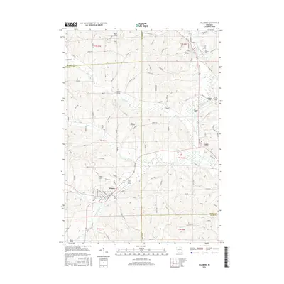 2016 Hillsboro2016 Print · USGSWisconsin's Driftless Area remains remarkably defined by its ridges and valleys in this modern survey of Juneau and Vernon counties. Genealogists and researchers can trace family landmarks across Millards Prairie or locate rural burials at Elroy City Cem and Saint Patricks Cem.
 - 2016 Map of Valton, 2016 Print
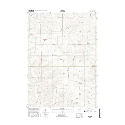 2016 Valton2016 Print · USGSThe rural borders of Vernon, Sauk, and Richland counties come together here in this modern-day survey of the Driftless Area. Local historians can trace the geography of generational settlements from Valton to Debello, finding landmarks like Saint Patrick Lutheran Cem and Richardson Hollow.
 - 2016 Map of La Valle, 2016 Print
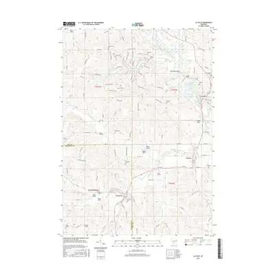 2016 La Valle2016 Print · USGSThe borderlands of Sauk and Richland counties are defined here by the winding Baraboo River and several rural villages. Researchers can trace family history through a dozen rural burial sites like Universal Cem and Cazenovia Cem or locate the historic La Valle Mill Pond.
 - 2018 Map of Wonewoc, 2018 Print
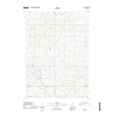 2018 Wonewoc2018 Print · USGSWonewoc and the Baraboo River valley are captured in detail during the late twenty-teens, showing the enduring agricultural patterns of Juneau and Sauk Counties. Researchers can trace family sites at Pine Eden Cem or locate landmarks like Castle Rocks and Daylight Hill.
Showing maps 1-25 of 32
Top cities near Woodland
- Reedsburg historical maps
- Mauston historical maps
- Lemonweir historical maps
- Elroy historical maps
- Hillsboro historical maps
- Greenwood historical maps
See more
Top neighborhoods of Woodland
- Valton historical maps
- Fox 'N' Hounds historical maps
- Summit historical maps
- Netherlands historical maps
- Sioux Trails historical maps
- Staghorn historical maps
See more
Frequently asked questions
- What are the different types of historical maps available for Woodland?
- What is the oldest map of Woodland?
- Where can I purchase historical maps of Woodland for my home or office?
- Where can I download high-res historical maps of Woodland?
- Are there historical topographic maps available for Woodland?
- Is there historical aerial imagery available for Woodland?
- Where are historical maps of Woodland sourced from?