2000s (21st Century) Maps of Lessor, Wisconsin
Explore 20 historic maps of Lessor from the 2000s (21st Century). These maps offer a rare glimpse into what life looked like during the 2000s — showing old roads, neighborhoods, homes, and landmarks that have changed or disappeared over time.
Whether you're researching your family's past, planning a metal detecting trip, or studying how Lessor's landscape evolved across the 2000s, these high-resolution maps are a powerful tool for exploring the history of this region.
- Focus on a specific era: All maps on this page are from the 2000s, giving you a focused view of this time period.
- See what’s changed: Compare century-old streets, trails, and buildings to today's modern landscape using overlays and satellite layers.
- Research with precision: Use these maps for genealogy, historical research, land use analysis, or educational projects.
- View, download, or print: Maps are fully viewable online in high resolution, and can be downloaded or printed for your own records.
Start exploring Lessor's history through authentic maps from the 2000s. This is your window into the past.
Lessor, WI maps
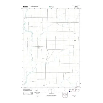
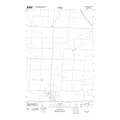
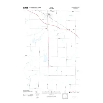
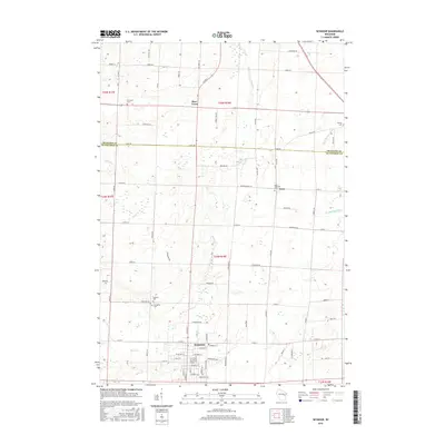
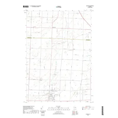
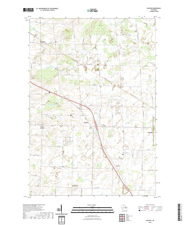
(20)- 2010 Map of Zachow, 2010 Print
 2010 Zachow2010 Print · USGSCovers Lessor, including Pulaski, Angelica, and other nearby areas
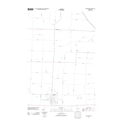
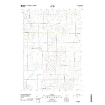
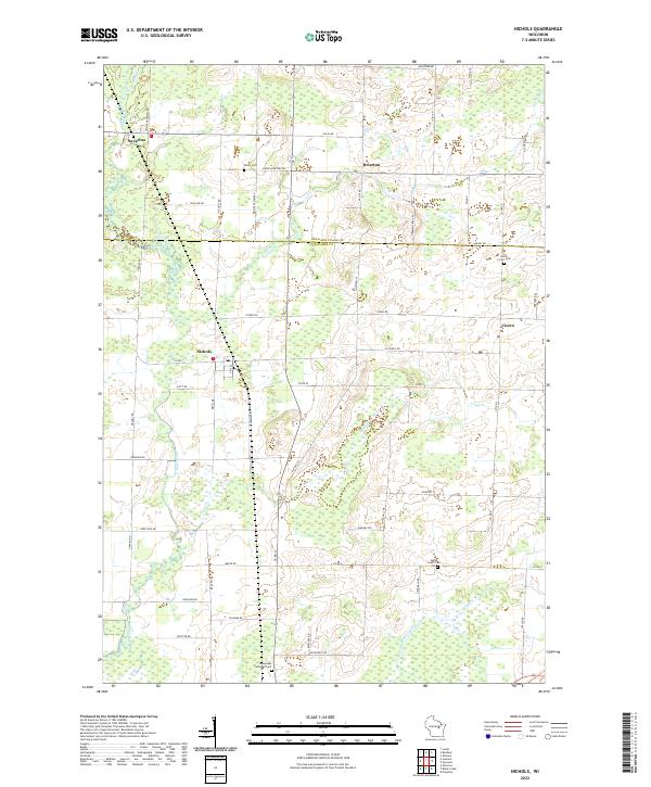
 - 2010 Map of Nichols, 2010 Print
 2010 Nichols2010 Print · USGSCovers Lessor, including Cicero, Navarino, and other nearby areas
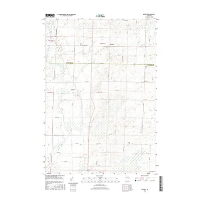
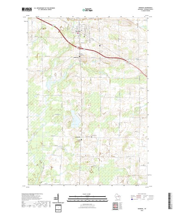
 - 2010 Map of Bonduel, 2010 Print
 2010 Bonduel2010 Print · USGSCovers Lessor, including Bonduel, Navarino, and other nearby areas
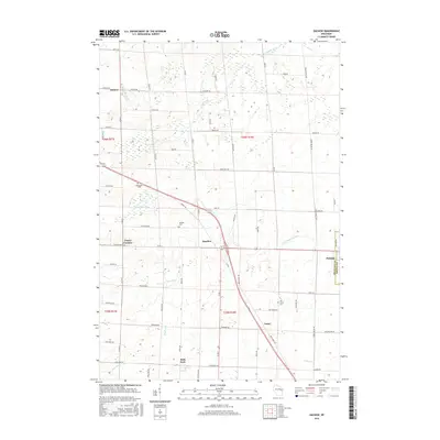
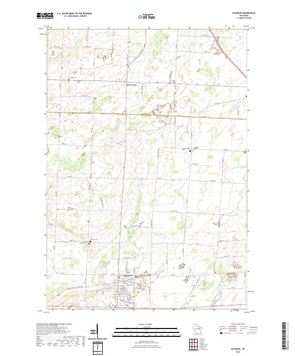
 - 2010 Map of Seymour, 2010 Print
 2010 Seymour2010 Print · USGSCovers Lessor, including Seymour, Cicero, and other nearby areas
 - 2013 Map of Nichols, 2013 Print
 2013 Nichols2013 Print · USGSCovers Lessor, including Cicero, Navarino, and other nearby areas
 - 2013 Map of Zachow, 2013 Print
 2013 Zachow2013 Print · USGSCovers Lessor, including Pulaski, Angelica, and other nearby areas
 - 2013 Map of Bonduel, 2013 Print
 2013 Bonduel2013 Print · USGSCovers Lessor, including Bonduel, Navarino, and other nearby areas
 - 2013 Map of Seymour, 2013 Print
 2013 Seymour2013 Print · USGSCovers Lessor, including Seymour, Cicero, and other nearby areas
 - 2016 Map of Nichols, 2016 Print
 2016 Nichols2016 Print · USGSCovers Lessor, including Cicero, Navarino, and other nearby areas
 - 2016 Map of Zachow, 2016 Print
 2016 Zachow2016 Print · USGSCovers Lessor, including Pulaski, Angelica, and other nearby areas
 - 2016 Map of Seymour, 2016 Print
 2016 Seymour2016 Print · USGSCovers Lessor, including Seymour, Cicero, and other nearby areas
 - 2016 Map of Bonduel, 2016 Print
 2016 Bonduel2016 Print · USGSCovers Lessor, including Bonduel, Navarino, and other nearby areas
 - 2018 Map of Nichols, 2018 Print
 2018 Nichols2018 Print · USGSCovers Lessor, including Cicero, Navarino, and other nearby areas
 - 2018 Map of Bonduel, 2018 Print
 2018 Bonduel2018 Print · USGSCovers Lessor, including Bonduel, Navarino, and other nearby areas
 - 2018 Map of Seymour, 2018 Print
 2018 Seymour2018 Print · USGSCovers Lessor, including Seymour, Cicero, and other nearby areas
 - 2018 Map of Zachow, 2018 Print
 2018 Zachow2018 Print · USGSCovers Lessor, including Pulaski, Angelica, and other nearby areas
 - 2022 Map of Seymour, 2022 Print
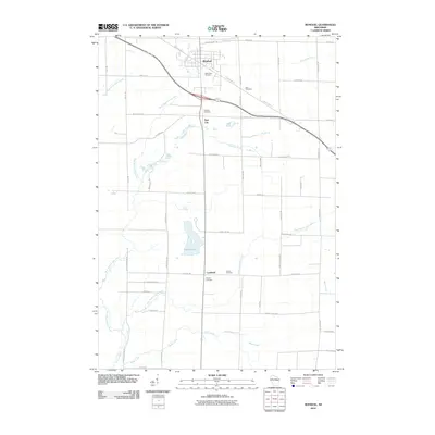
 2022 Seymour2022 Print · USGSNortheast Wisconsin's dairy country comes into focus in this recent survey of the Outagamie and Shawano county line. Researchers can trace family-named roads and community anchors like Emmanuel Lutheran Cemetery and the Newton Blackmour State Trail in Seymour.
 - 2022 Map of Nichols, 2022 Print
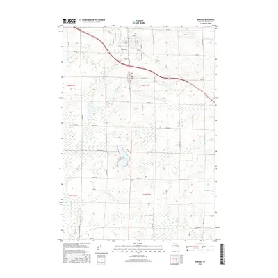
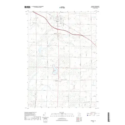
 2022 Nichols2022 Print · USGSThe rural borderlands of Shawano and Outagamie counties come into focus in this recent survey of Wisconsin's dairy and marsh country. Researchers can trace family history through sites like Immanuel Lutheran Cem or explore the layout of Nichols and Briarton.
 - 2022 Map of Bonduel, 2022 Print
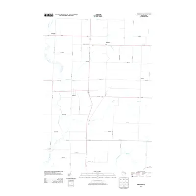
 2022 Bonduel2022 Print · USGSBonduel and its surrounding farming communities are captured here in the early twenty-first century as the landscape balances village growth with its rural roots. Researchers can trace local lineage through several churchyards and burial sites including Evergreen Cem, Zion Cem, and Landstad.
 - 2022 Map of Zachow, 2022 Print
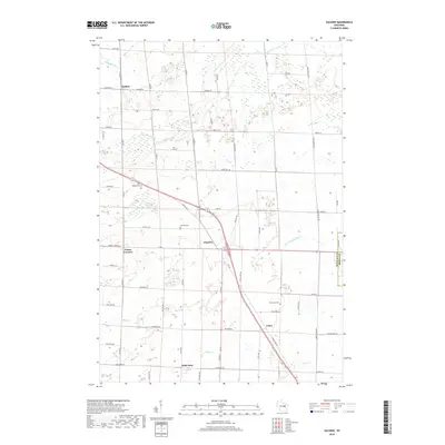
 2022 Zachow2022 Print · USGSShawano County's agricultural heartland is documented here in the early 2020s, showing a landscape of established farmsteads and river valleys. Researchers can trace family history at Resthaven Cem or locate old community centers like Zachow, Angelica, and Hofa Park.
End of results
Showing maps 1-20 of 20
Top cities near Lessor
- Shawano historical maps
- Freedom historical maps
- Seymour historical maps
- Pulaski historical maps
- Chase historical maps
- Pittsfield historical maps
See more
Top neighborhoods of Lessor
Frequently asked questions
- What are the different types of historical maps available for Lessor?
- What is the oldest map of Lessor?
- Where can I purchase historical maps of Lessor for my home or office?
- Where can I download high-res historical maps of Lessor?
- Are there historical topographic maps available for Lessor?
- Is there historical aerial imagery available for Lessor?
- Where are historical maps of Lessor sourced from?