Old Maps of Tigerton, Wisconsin for Hiking & Exploration
Hike through history with 9 historic maps of Tigerton. Explore old trails, ghost towns, and forgotten backroads — perfect for outdoor adventurers and local explorers.
- Rediscover forgotten places: Map out old mining camps, roads, and footpaths that no longer exist on modern maps.
- Layer with modern tools: Combine with LiDAR or satellite views to plan hikes through historical terrain.
- Made for exploration: Popular among hikers, overlanders, and local history lovers.
Use these maps to find adventure and explore the hidden past of Tigerton.
Tigerton, WI maps
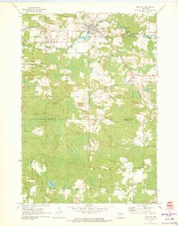
(9)- 1955 Map of Tigerton, 1957 Print
 1955 Tigerton1957 Print · USGSThe rural borderlands of Shawano and Waupaca Counties come alive in the mid-1950s, showing a landscape of small schools and river-fed mill towns. Genealogists can trace family landmarks like Alban Chapel, the Hitterdahl Ch, and old rural schoolhouses including Selmer Sch.2 unique versions available
 - 1955 Map of Green Bay, 1968 Print
 1955 Green Bay1968 Print · USGSCentral and Eastern Wisconsin are captured here in the mid-fifties, showing the industrial growth of the Fox Valley and Wisconsin River corridors. Genealogists and historians can trace rail lines like the Green Bay and Western through settlements like Weyauwega, Clintonville, and Pulaski.2 unique versions available
 - 1970 Map of Tigerton, 1973 Print
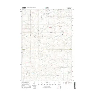
 1970 Tigerton1973 Print · USGSWisconsin timber and rail country come into focus in the early seventies, centered on the village of Tigerton and its river-bend economy. Researchers can trace family homesteads along Laars Road, locate the Tigerton Lookout Tower, and follow the historic Chicago and North Western line.2 unique versions available
 - 1984 Map of Wausau, 1990 Print
 1984 Wausau1990 Print · USGSMarathon and Portage counties come into focus during the mid-eighties as industrial river towns and sprawling conservation areas define the Central Wisconsin landscape. Researchers can trace the rail corridors of the Soo Line or locate rural landmarks like Rib Mountain State Park and St Marys Cem.
 - 2010 Map of Tigerton, 2010 Print
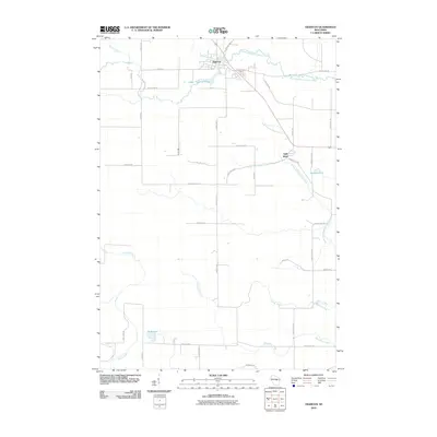 2010 Tigerton2010 Print · USGSCovers Tigerton, including Harrison, Germania, and other nearby areas
 - 2013 Map of Tigerton, 2013 Print
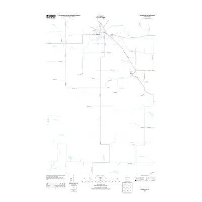 2013 Tigerton2013 Print · USGSCovers Tigerton, including Harrison, Germania, and other nearby areas
 - 2015 Map of Tigerton, 2015 Print
 2015 Tigerton2015 Print · USGSCovers Tigerton, including Harrison, Germania, and other nearby areas
 - 2018 Map of Tigerton, 2018 Print
 2018 Tigerton2018 Print · USGSCovers Tigerton, including Harrison, Germania, and other nearby areas
 - 2022 Map of Tigerton, 2022 Print
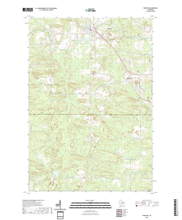 2022 Tigerton2022 Print · USGSTigerton and the surrounding dairy lands of Shawano and Waupaca Counties are shown here in the early twenty-first century. Local historians can trace the paths of the Wiouwash State Trl through Split Rock and locate riverside landmarks like Tigerton Dells.
End of results
Showing maps 1-9 of 9
Top cities near Tigerton
- Marion historical maps
- Iola historical maps
- Wittenberg historical maps
- Wittenberg historical maps
- Norrie historical maps
- Pella historical maps
See more
Frequently asked questions
- What are the different types of historical maps available for Tigerton?
- What is the oldest map of Tigerton?
- Where can I purchase historical maps of Tigerton for my home or office?
- Where can I download high-res historical maps of Tigerton?
- Are there historical topographic maps available for Tigerton?
- Is there historical aerial imagery available for Tigerton?
- Where are historical maps of Tigerton sourced from?