Old Maps of Iola, Wisconsin
Explore 25 old maps of Iola, spanning from 1955 to today. These high-resolution historic maps reveal how streets, neighborhoods, landmarks, and natural features evolved over time — perfect for genealogy, metal detecting, research, and local history exploration.
What you can do with these maps:
- See how Iola changed over time: Compare historical maps to modern-day views to trace roads, homesites, rail lines & more.
- View detailed metadata: Each map includes creators, publishers, year, scale, and archive source.
- Overlay maps with satellite & LiDAR: Visualize the past alongside modern tools to explore terrain & human change.
- Trusted historical sources: Maps sourced from the USGS, Library of Congress, and other archives.
- Access maps your way: View online, download high-res files, or order prints for personal or research use.
Start exploring old maps of Iola to uncover forgotten places, hidden landmarks, and the deep history beneath your feet.
Iola, WI maps
(25)- 1955 Map of Tigerton, 1957 Print
 1955 Tigerton1957 Print · USGSThe rural borderlands of Shawano and Waupaca Counties come alive in the mid-1950s, showing a landscape of small schools and river-fed mill towns. Genealogists can trace family landmarks like Alban Chapel, the Hitterdahl Ch, and old rural schoolhouses including Selmer Sch.2 unique versions available
 - 1955 Map of Green Bay, 1968 Print
 1955 Green Bay1968 Print · USGSCentral and Eastern Wisconsin are captured here in the mid-fifties, showing the industrial growth of the Fox Valley and Wisconsin River corridors. Genealogists and historians can trace rail lines like the Green Bay and Western through settlements like Weyauwega, Clintonville, and Pulaski.2 unique versions available
 - 1957 Map of Waupaca, 1959 Print
 1957 Waupaca1959 Print · USGSWaupaca and the famous Chain O' Lakes are captured in the late fifties, showing a landscape of small lakeside settlements and rural schoolhouses. Researchers can find Waupaca Boys Camp, trace the old Green Bay and Western line, or locate King and Rural.2 unique versions available
 - 1969 Map of Ogdensburg, 1972 Print
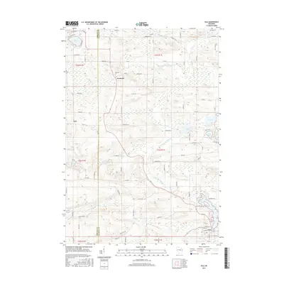
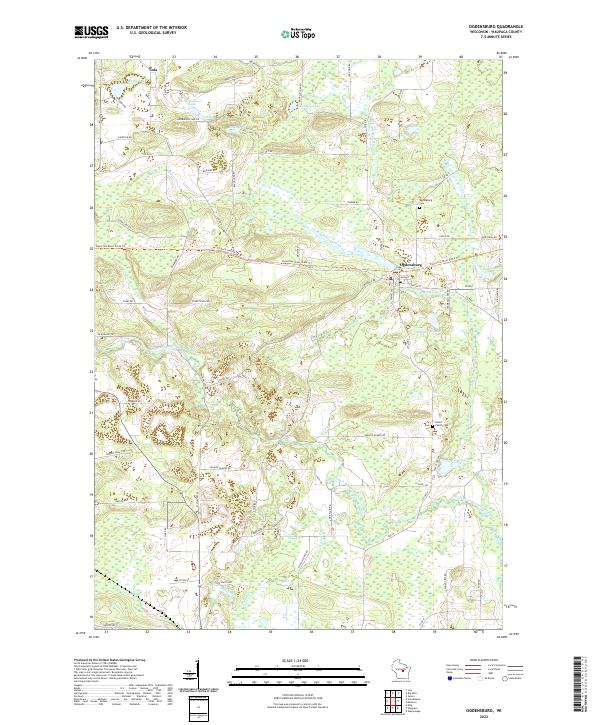
 1969 Ogdensburg1972 Print · USGSOgdensburg and the surrounding Waupaca County countryside are captured here in the late sixties, showcasing a landscape of glacial lakes and rural industry. Genealogists and local historians can locate the Ogdensburg Cemetery, trace the Green Bay and Western railroad, and identify early extractive sites like the Quarry.
 - 1970 Map of Big Falls, 1973 Print
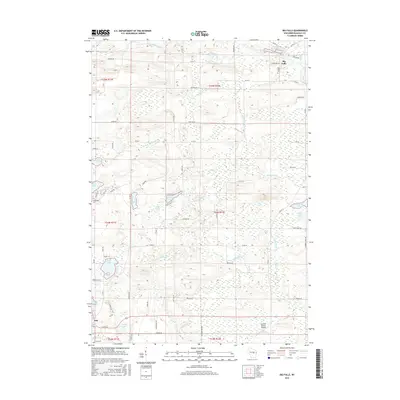
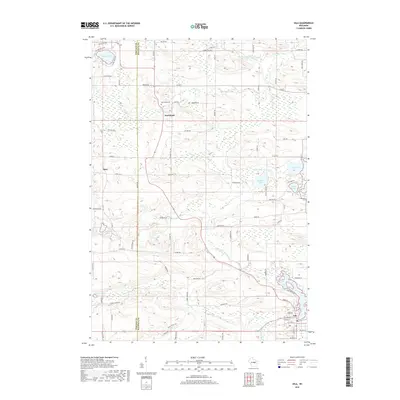
 1970 Big Falls1973 Print · USGSWaupaca County's glacial landscape is captured here in the early seventies, centered on the river networks and kettle lakes. Genealogists and local historians can trace family-named sites like Schmidt Corner and Aasen, or follow the Old RR Grade through the woods near Big Falls.
 - 1971 Map of Iola, 1973 Print
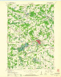
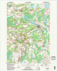
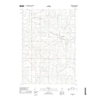
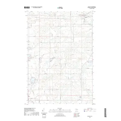
 1971 Iola1973 Print · USGSIola and its rural surroundings in Portage and Waupaca counties are shown here just after the turn of the 1970s. Researchers can trace the Old Railroad Grade near Iola Lake, find the Hitterdahl Cem, or locate the Ski Jump near Griffin.2 unique versions available
 - 1984 Map of Wausau, 1990 Print
 1984 Wausau1990 Print · USGSMarathon and Portage counties come into focus during the mid-eighties as industrial river towns and sprawling conservation areas define the Central Wisconsin landscape. Researchers can trace the rail corridors of the Soo Line or locate rural landmarks like Rib Mountain State Park and St Marys Cem.
 - 1985 Map of Wisconsin Rapids
 1985 Wisconsin Rapids1985 Print · USGSCentral Wisconsin in the mid-eighties shows a landscape of engineered waterways and active rail corridors between Wisconsin Rapids and Waupaca. Genealogists and researchers can trace local landmarks like Roche A Cri State Park, the SOO LINE, and small settlements like Coddington or Rudolph.2 unique versions available
 - 1992 Map of Ogdensburg, 1995 Print
 1992 Ogdensburg1995 Print · USGSCentral Wisconsin at the dawn of the nineties shows a landscape of glacial lakes and quiet river valleys. Genealogists can trace family footprints near Ogdensburg via Iola Cem, Ogdensburg Cem, and the timbered slopes of Poverty Hill.
 - 1992 Map of Big Falls, 1996 Print
 1992 Big Falls1996 Print · USGSWaupaca County in the 1990s reveals a landscape of glacial lakes and river-borne history. Researchers can trace the Old RR Grade through Big Falls or locate family landmarks near Schmidt Corner and Goodhal Lake.
 - 2010 Map of Iola, 2010 Print
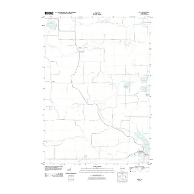 2010 Iola2010 Print · USGSCovers Iola, including Alban, Harrison, and other nearby areas
 - 2010 Map of Big Falls, 2010 Print
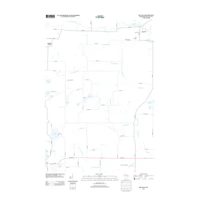
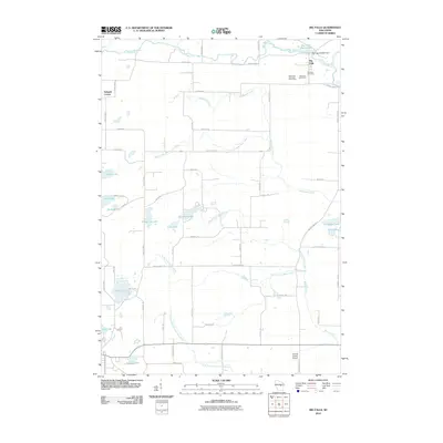 2010 Big Falls2010 Print · USGSCovers Iola, including Big Falls, Harrison, and other nearby areas
 - 2010 Map of Ogdensburg, 2010 Print
 2010 Ogdensburg2010 Print · USGSCovers Iola, including Ogdensburg, Saint Lawrence, and other nearby areas
 - 2013 Map of Big Falls, 2013 Print
 2013 Big Falls2013 Print · USGSCovers Iola, including Big Falls, Harrison, and other nearby areas
 - 2013 Map of Ogdensburg, 2013 Print
 2013 Ogdensburg2013 Print · USGSCovers Iola, including Ogdensburg, Saint Lawrence, and other nearby areas
 - 2013 Map of Iola, 2013 Print
 2013 Iola2013 Print · USGSCovers Iola, including Alban, Harrison, and other nearby areas
 - 2015 Map of Ogdensburg, 2015 Print
 2015 Ogdensburg2015 Print · USGSCovers Iola, including Ogdensburg, Saint Lawrence, and other nearby areas
 - 2015 Map of Iola, 2015 Print
 2015 Iola2015 Print · USGSCovers Iola, including Alban, Harrison, and other nearby areas
 - 2015 Map of Big Falls, 2015 Print
 2015 Big Falls2015 Print · USGSCovers Iola, including Big Falls, Harrison, and other nearby areas
 - 2018 Map of Ogdensburg, 2018 Print
 2018 Ogdensburg2018 Print · USGSCovers Iola, including Ogdensburg, Saint Lawrence, and other nearby areas
 - 2018 Map of Big Falls, 2018 Print
 2018 Big Falls2018 Print · USGSCovers Iola, including Big Falls, Harrison, and other nearby areas
 - 2018 Map of Iola, 2018 Print
 2018 Iola2018 Print · USGSCovers Iola, including Alban, Harrison, and other nearby areas
 - 2022 Map of Iola, 2022 Print
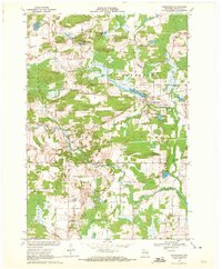
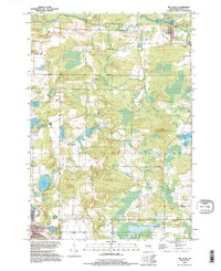
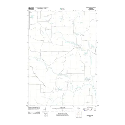
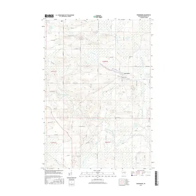
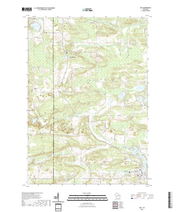 2022 Iola2022 Print · USGSWaupaca County's glacial landscape is meticulously detailed in the early 2020s, showing the settled townships surrounding Iola. Researchers can trace old family footprints through sites like Hitterdahl Lutheran Cem and Northland, or follow the banks of the Little Wolf River.
 - 2022 Map of Ogdensburg, 2022 Print
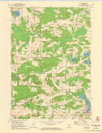
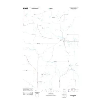
 2022 Ogdensburg2022 Print · USGSOgdensburg and the surrounding Waupaca County wetlands appear here in detail during the early 2020s. Genealogists and local historians can trace family plots at the Axtell Family Cem or follow the route of the Tomorrow River State Trl.
 - 2022 Map of Big Falls, 2022 Print
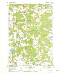
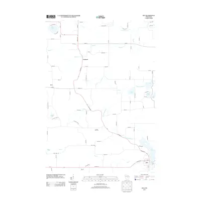
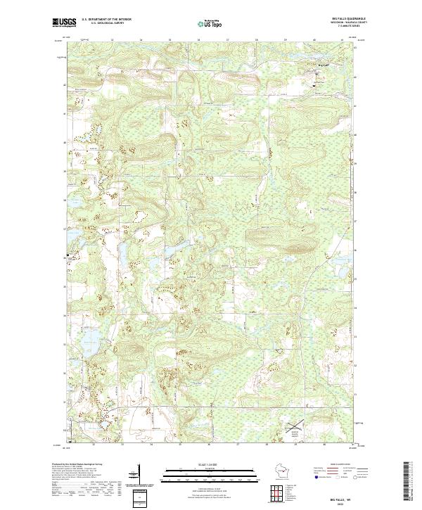 2022 Big Falls2022 Print · USGSBig Falls and the surrounding Waupaca County wetlands appear here as they were in the early 2020s, showing a landscape defined by glacial lakes and river forks. Researchers can locate family sites near the Hitterdahl Lutheran Cem or trace the drainage of the Little Wolf River and S Fork Blake Cr.
End of results
Showing maps 1-25 of 25
Top cities near Iola
- Waupaca historical maps
- Stockton historical maps
- Weyauwega historical maps
- Manawa historical maps
- Marion historical maps
- Amherst historical maps
See more
Frequently asked questions
- What are the different types of historical maps available for Iola?
- What is the oldest map of Iola?
- Where can I purchase historical maps of Iola for my home or office?
- Where can I download high-res historical maps of Iola?
- Are there historical topographic maps available for Iola?
- Is there historical aerial imagery available for Iola?
- Where are historical maps of Iola sourced from?