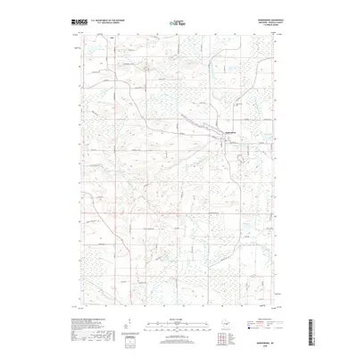
2018 Map of Ogdensburg
USGS Topo · Published 2018About this map
Ogdensburg sits at the heart of this Waupaca County landscape, situated along the N Br Little Wolf River. This modern survey reveals a region defined by its glacial hydrology, where numerous kettle lakes and streams punctuate the terrain. To the north, the village of Iola edges into the frame, while the surrounding countryside is connected by a dense network of local routes like Co Rd B and Co Rd K. The map documents the persistent rural character of central Wisconsin, where family-named landmarks and small water bodies such as Shambeau Lake, Knutson Lake, and Hermanson Lake anchor the community geography.
Find a feature on this map
65 named features on this map. Tap any name to fly to it.
Don’t see what you’re looking for? This feature index may not catch every label — zoom into the map to look around manually.
Map Details
Editions of this 2018 Ogdensburg Map
This is the sole edition of this map. No revisions or reprints were ever made.
Other maps of this area

1955 · Clintonville
USGS Topo · 1:48,000

1955 · Tigerton
USGS Topo · 1:48,000

1955 · Green Bay
USGS Topo · 1:250,000

1956 · Weyauwega
USGS Topo · 1:48,000

1957 · Waupaca
USGS Topo · 1:48,000
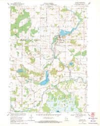
1969 · Manawa
USGS Topo · 1:24,000
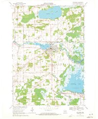
1969 · Weyauwega
USGS Topo · 1:24,000
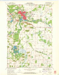
1969 · Waupaca
USGS Topo · 1:24,000
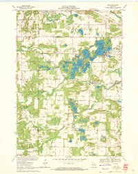
1969 · King
USGS Topo · 1:24,000
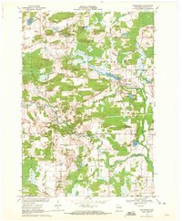
1969 · Ogdensburg
USGS Topo · 1:24,000