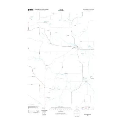
2013 Map of Ogdensburg
USGS Topo · Published 2013About this map
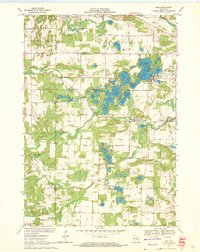
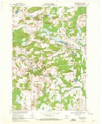
Ogdensburg serves as the central hub of this Waupaca County landscape, situated at the confluence of several local routes near Ogdensburg Pond. The area is defined by the intricate winding of the N Br Little Wolf River and the South Branch Little Wolf River, which carve through a mosaic of small lakes and agricultural parcels. Local commerce and land use are represented by features like Christensen's Orchard, while the presence of the Casey Lake Airport near Casey Lake indicates the region's modern transport infrastructure. Numerous family-named roads and water bodies, such as Hermanson Lake, Knutson Lake, and Shambeau Lake, reflect a long history of local settlement. The network of county highways and local roads like Poverty Hill Rd and State Road 49 connect these disparate glaciated features, showing how the community has integrated with the wetland-rich terrain over time.
Find a feature on this map
66 named features on this map. Tap any name to fly to it.
Don’t see what you’re looking for? This feature index may not catch every label — zoom into the map to look around manually.
Map Details
Editions of this 2013 Ogdensburg Map
This is the sole edition of this map. No revisions or reprints were ever made.
Other maps of this area

1955 · Clintonville
USGS Topo · 1:48,000

1955 · Tigerton
USGS Topo · 1:48,000

1955 · Green Bay
USGS Topo · 1:250,000

1956 · Weyauwega
USGS Topo · 1:48,000

1957 · Waupaca
USGS Topo · 1:48,000
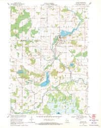
1969 · Manawa
USGS Topo · 1:24,000
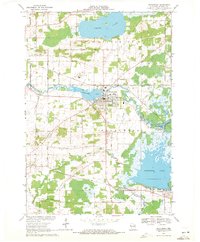
1969 · Weyauwega
USGS Topo · 1:24,000
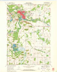
1969 · Waupaca
USGS Topo · 1:24,000
1969 · King
USGS Topo · 1:24,000
1969 · Ogdensburg
USGS Topo · 1:24,000