Old Maps of River Trails, Wisconsin for Academic Research
Study the evolution of River Trails with 10 high-resolution historic maps. Whether you're teaching, researching, or modeling changes in land use, these maps provide essential visual documentation of urban, environmental, and geographic change.
- Analyze long-term change: Track patterns in development, transportation, and natural features.
- Ideal for environmental or urban studies: Support academic projects with primary historical map data.
- Use in the classroom or lab: Educators and researchers rely on these maps to bring historical context to life.
These maps are a powerful tool for teaching, research, and visualizing how River Trails has changed over the decades.
River Trails, WI maps
(10)- 1954 Map of Sheboygan South, 1956 Print
 1954 Sheboygan South1956 Print · USGSThe Sheboygan shoreline in the mid-1950s shows a balance between industrial utility and lakeside recreation. Genealogists and historians can locate Southside Cemetery, early schools like Jackson School, and the industrial footprint of Kohler.
 - 1954 Map of Sheboygan South, 1956 Print
 1954 Sheboygan South1956 Print · USGSThe Lake Michigan shoreline south of Sheboygan is captured here in the mid-1950s as industry and recreation began to shape the coastal landscape. Genealogists and researchers can trace urban landmarks like Central High Sch, local burial grounds including Wildwood Cem, and lakefront features like the Sunken Caisson.3 unique versions available
 - 1954 Map of Milwaukee, 1967 Print
 1954 Milwaukee1967 Print · USGSCoastal life and maritime commerce across Lake Michigan are seen here during the mid-fifties, bridging Wisconsin's industrial hubs and Michigan's timberlands. Genealogists and historians can trace the rail lines of the Grand Trunk Western and find long-established ports like Ludington, Port Washington, and Muskegon.3 unique versions available
 - 1958 Map of Milwaukee
 1958 Milwaukee1958 Print · USGSThe shorelines of Lake Michigan in the late fifties reveal a landscape of bustling ferry ports and growing industrial suburbs. Genealogists and historians can trace rail networks like the Chesapeake & Ohio and locate landmarks such as Little Sable Point and Holy Cross Church.
 - 1989 Map of Sheboygan, 1990 Print
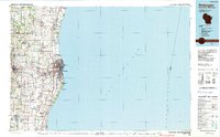 1989 Sheboygan1990 Print · USGSCoastal Wisconsin thrived in the late eighties as the industrial corridor between Sheboygan and Belgium expanded along the lake. Genealogists and local researchers can trace old township lines and small settlements like Howards Grove, Hingham, and Gibbsville.
 - 2010 Map of Sheboygan South, 2010 Print
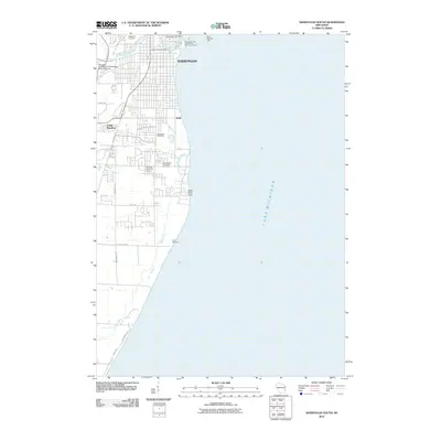 2010 Sheboygan South2010 Print · USGSSheboygan and the Lake Michigan shoreline are shown here at the turn of the millennium. Researchers can trace the layout of the Sheboygan Port + Warehouse Terminal, Limited or locate ancestral sites like Wildwood Cemetery and Southside Cemetery.
 - 2013 Map of Sheboygan South, 2013 Print
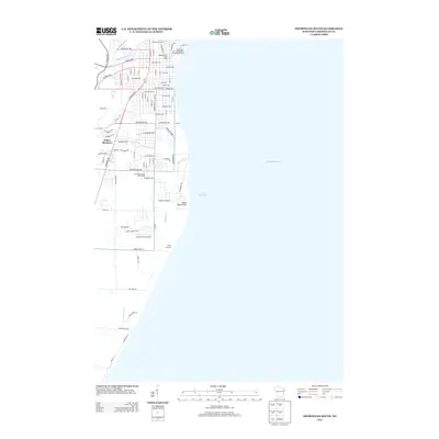 2013 Sheboygan South2013 Print · USGSThe Lake Michigan shoreline south of Sheboygan is captured here in the early twenty-first century as the city's street grid meets the water. Researchers can trace local development around Indian Meadows, the Van Der Vaart Airport, and the mouth of the Sheboygan River.
 - 2016 Map of Sheboygan South, 2016 Print
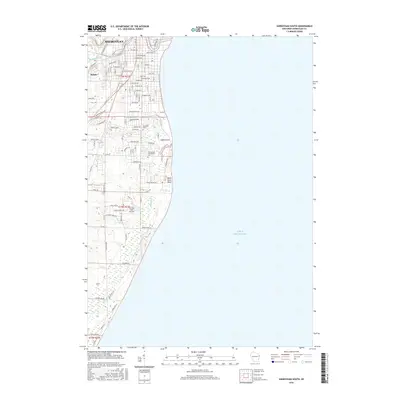 2016 Sheboygan South2016 Print · USGSThe coastal area of Sheboygan County comes into focus in the mid-2010s as urban growth meets the shoreline. Researchers can trace local history at Southside Cem, the Van Der Vaart Airport, and the mouth of the Black River at Black River Point.
 - 2018 Map of Sheboygan South, 2018 Print
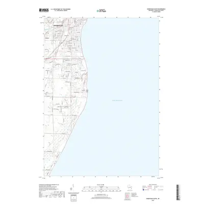 2018 Sheboygan South2018 Print · USGSThe Lake Michigan shoreline south of Sheboygan is captured in 2018, showing the area's mix of industry, aviation, and residential expansion. Researchers can find burial sites at Southside Cem and trace the proximity of Van Der Vaart Airport to the Black River.
 - 2022 Map of Sheboygan South, 2022 Print
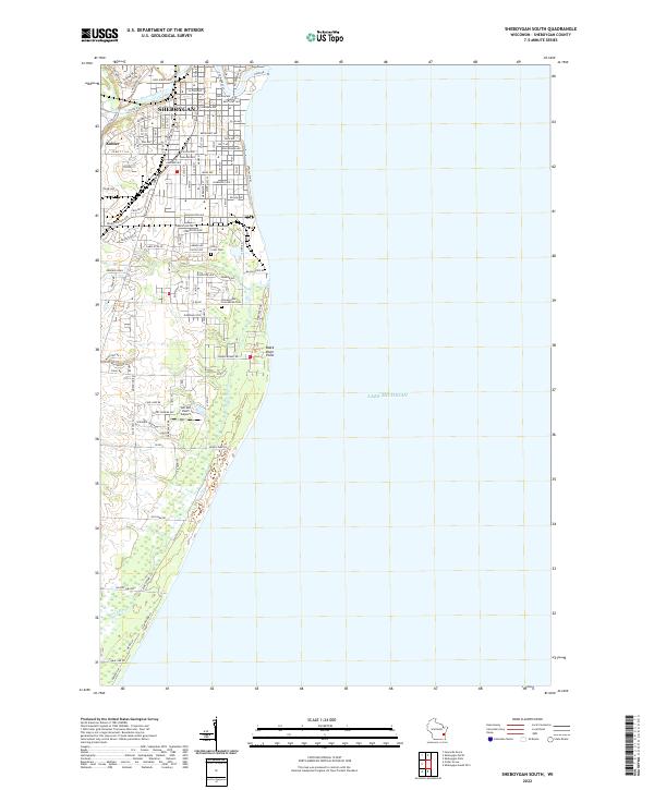 2022 Sheboygan South2022 Print · USGSThe southern reaches of the Sheboygan shoreline come into focus during this early twenty-first-century period of suburban growth. Genealogists and local historians can trace burial sites at Holy Cross Cem or locate regional landmarks like Van Der Vaart Airport.
End of results
Showing maps 1-10 of 10
Frequently asked questions
- What are the different types of historical maps available for River Trails?
- What is the oldest map of River Trails?
- Where can I purchase historical maps of River Trails for my home or office?
- Where can I download high-res historical maps of River Trails?
- Are there historical topographic maps available for River Trails?
- Is there historical aerial imagery available for River Trails?
- Where are historical maps of River Trails sourced from?