Old Maps of Ford, Wisconsin for Hiking & Exploration
Hike through history with 15 historic maps of Ford. Explore old trails, ghost towns, and forgotten backroads — perfect for outdoor adventurers and local explorers.
- Rediscover forgotten places: Map out old mining camps, roads, and footpaths that no longer exist on modern maps.
- Layer with modern tools: Combine with LiDAR or satellite views to plan hikes through historical terrain.
- Made for exploration: Popular among hikers, overlanders, and local history lovers.
Use these maps to find adventure and explore the hidden past of Ford.
Ford, WI maps
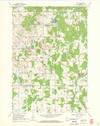
(15)- 1951 Map of Lublin, 1953 Print
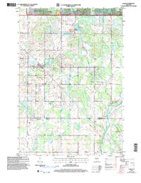
 1951 Lublin1953 Print · USGSTaylor County agriculture meets the northern timberlands in the early fifties, centering on the rail hub of Lublin. Genealogists and historians can locate vanished rural schoolhouses like Redville Sch and trace the original paths of the MINNEAPOLIS ST PAUL AND SAULT STE MARIE railroad.
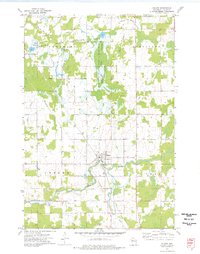
 - 1951 Map of Gilman, 1969 Print
 1951 Gilman1969 Print · USGSTaylor and Clark counties are captured here in the early fifties, showing a rural landscape defined by the Yellow River and the Soo Line railroad. Genealogists can locate numerous landmarks including the Russian Ch, Meadowbrook Cem, and the Sunnyview Sch.
 - 1953 Map of Rice Lake, 1967 Print
 1953 Rice Lake1967 Print · USGSNorthwest Wisconsin during the mid-fifties reveals a landscape defined by timber, rail, and water. Genealogists and historians can trace the development of river towns like Ladysmith and Rice Lake along the Soo Line and Chicago and North Western railroads.2 unique versions available
 - 1959 Map of Rice Lake
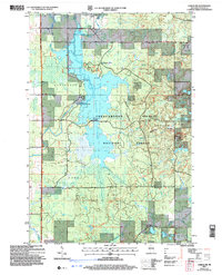
 1959 Rice Lake1959 Print · USGSNorthwest Wisconsin in the late fifties was a land of expanding road networks and deep-seated timber history. Genealogists and historians can trace rail lines like the Soo Line RR and Chicago St Paul Minneapolis and Omaha Ry as they link settlements from Spooner to Medford.
 - 1969 Map of Lublin, 1971 Print
 1969 Lublin1971 Print · USGSWisconsin’s north-central dairy and timber country is documented here in the late sixties, centered on the village of Lublin. Researchers can trace old township boundaries and family ties at St Stanislaus Cem, Maplehurst Cem, and along the Soo Line railroad corridor.
 - 1969 Map of Lublin NW, 1972 Print
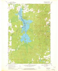 1969 Lublin NW1972 Print · USGSTaylor County’s timber and water resources are centered here in the late sixties, where the massive Chequamegon Waters Flowage meets the national forest. Researchers can trace the development of the Perkinstown Winter Sports Area Ski Slide and the rural roads near Hughey.3 unique versions available
 - 1973 Map of Gilman, 1976 Print
 1973 Gilman1976 Print · USGSIn the early 1970s, this Taylor County landscape centered on Gilman and the winding Yellow River. Researchers can trace old transportation corridors along the Soo Line Railroad and the Old Railroad Grade or locate family plots at Meadowbrook Cem.2 unique versions available
 - 1973 Map of Bellinger, 1976 Print
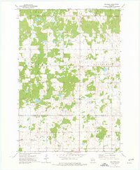 1973 Bellinger1976 Print · USGSTaylor and Clark counties are captured here in the early 1970s, showing a transition from the logging era to a quiet rural landscape. Researchers can trace the Old Railroad Grade and locate local landmarks like the Ukrainian Orthodox Ch and the settlement of Bellinger.
 - 1980 Map of Medford
 1980 Medford1980 Print · USGSNorth-central Wisconsin in the early eighties shows a landscape of dense timber and rail-linked settlements. Genealogists and historians can trace the Soo Line through towns like Medford and Westboro or locate family homesteads near Perkinstown and Athens.
 - 2005 Map of Lublin NW, 2006 Print
 2005 Lublin NW2006 Print · USGSTaylor County's managed forest lands and river systems are shown here in the early 2000s, reflecting a landscape shaped by both water management and outdoor recreation. Trace the footprint of the Chippewa Flowage, the Miller Dam, and local settlements like Hughey.
 - 2005 Map of Lublin, 2006 Print
 2005 Lublin2006 Print · USGSTaylor and Clark counties meet here in the early 2000s, where the national forest gives way to rural townships and river headwaters. Researchers can trace local heritage through sites like St Marys Cem, Lublin, and the Diamond Lake Recreation Area.
 - 2022 Map of Gilman, 2022 Print
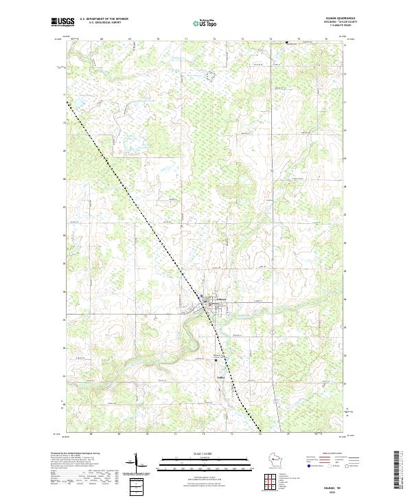 2022 Gilman2022 Print · USGSGilman and the surrounding Taylor County countryside are captured here in the early twenty-first century as a network of rivers and flowages. Researchers can trace local lineage at Meadowbrook Catholic Cem or follow the waters of the Yellow River and Fisher River through the heart of the region.
 - 2022 Map of Bellinger, 2022 Print
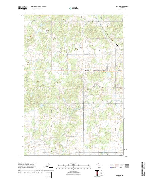 2022 Bellinger2022 Print · USGSThe borderlands of Taylor and Clark counties are mapped here in the early twenty-first century, showing a rural landscape shaped by glacial history. Researchers can trace the Ice Age National Scenic Trl as it passes near Bellinger and the banks of the North Fork Eau Claire River.
 - 2022 Map of Lublin, 2022 Print
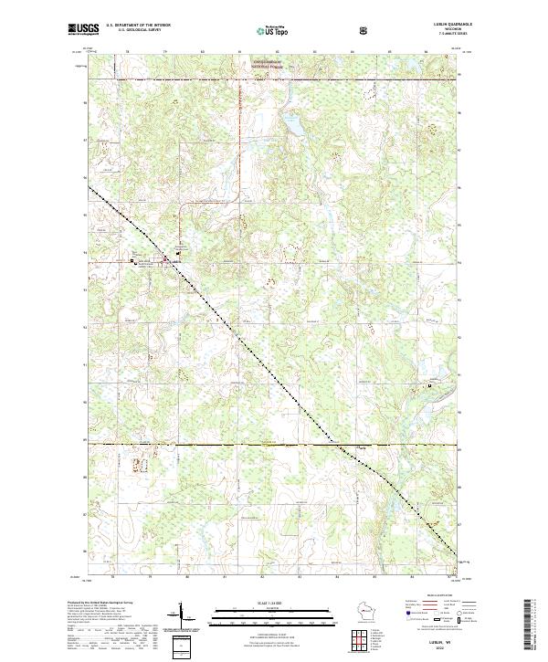 2022 Lublin2022 Print · USGSLublin and the surrounding Wisconsin timberlands are captured here at the start of the 2020s. Researchers can locate family sites at the Holy Assumption Polish National Catholic Cem or trace the route of the Ice Age National Scenic Trl near the Black River.
 - 2022 Map of Lublin NW, 2022 Print
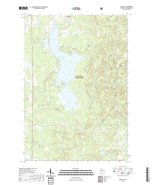 2022 Lublin NW2022 Print · USGSTaylor County's wooded interior is captured here recently, showing the intersection of the Chequamegon National Forest and the Yellow River valley. Outdoor historians and hikers can trace the Ice Age National Scenic Trl past remote waters like Marion Lake and Chub Lake.
End of results
Showing maps 1-15 of 15
Top cities near Ford
- Stanley historical maps
- Thorp historical maps
- Edson historical maps
- Owen historical maps
- Ogema historical maps
- Colburn historical maps
See more
Top neighborhoods of Ford
Frequently asked questions
- What are the different types of historical maps available for Ford?
- What is the oldest map of Ford?
- Where can I purchase historical maps of Ford for my home or office?
- Where can I download high-res historical maps of Ford?
- Are there historical topographic maps available for Ford?
- Is there historical aerial imagery available for Ford?
- Where are historical maps of Ford sourced from?