Old Maps of Medford, Wisconsin for Genealogy
Trace your family roots with 29 historic maps of Medford. These high-res maps reveal old neighborhoods, homesites, landmarks, and streets — helping you uncover where your ancestors lived and how the area evolved over time.
- Explore historic neighborhoods: Identify where your relatives may have lived in the 1800s or 1900s.
- Compare maps over time: Trace the changes in streets, buildings, and landmarks for multi-generational research.
- Perfect for genealogy & ancestry research: Used by family historians and researchers to map out lineage and migration.
These maps are an incredible resource for exploring your personal connection to Medford's past.
Medford, WI maps
(29)- 1951 Map of Medford, 1954 Print
 1951 Medford1954 Print · USGSMedford and the surrounding Taylor County townships are captured here in the early fifties, showing a landscape defined by dairy farming and rail transport. Genealogists can locate numerous country schoolhouses like Thielke Sch and rural burial grounds including Little Black Cem.
 - 1953 Map of Rice Lake, 1967 Print
 1953 Rice Lake1967 Print · USGSNorthwest Wisconsin during the mid-fifties reveals a landscape defined by timber, rail, and water. Genealogists and historians can trace the development of river towns like Ladysmith and Rice Lake along the Soo Line and Chicago and North Western railroads.2 unique versions available
 - 1959 Map of Rice Lake
 1959 Rice Lake1959 Print · USGSNorthwest Wisconsin in the late fifties was a land of expanding road networks and deep-seated timber history. Genealogists and historians can trace rail lines like the Soo Line RR and Chicago St Paul Minneapolis and Omaha Ry as they link settlements from Spooner to Medford.
 - 1969 Map of Medford SW, 1971 Print
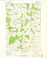 1969 Medford SW1971 Print · USGSTaylor and Clark counties in the late sixties remain a patchwork of small dairy farms and rural schoolhouses. Researchers can locate community anchors like Amish Cem, Holway Ch, and several local schools including Green Meadow Sch and Hillside Sch.
 - 1969 Map of Stetsonville, 1971 Print
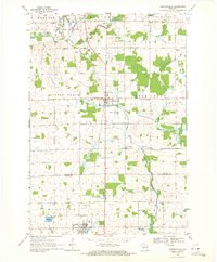 1969 Stetsonville1971 Print · USGSThe dairy lands of Central Wisconsin are documented here in the late sixties, showing the rural communities of Stetsonville and Dorchester along the Soo Line. Genealogists and historians can locate legacy sites like Sacred Heart Cem, Victory Sch, and the North Memorial Cem.
 - 1969 Map of Medford, 1972 Print
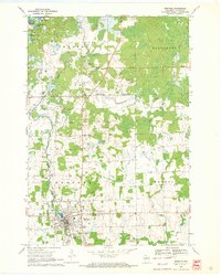 1969 Medford1972 Print · USGSThe rail-and-river corridor of central Taylor County comes to life in this late sixties survey of Whittlesey and the surrounding townships. Genealogists can trace family connections at Our Lady of Perpetual Help Ch, Evergreen Cem, and the Rolling Acres Sch.
 - 1970 Map of Medford NW, 1972 Print
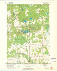 1970 Medford NW1972 Print · USGSTaylor County's timber and lake country is captured here during the 1970s, showcasing the transition from early industry to modern recreation. Locate defunct infrastructure along the Old Railroad Grade or trace family roots at Molitor Cem and Brookside Sch.2 unique versions available
 - 1980 Map of Medford
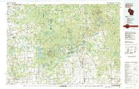 1980 Medford1980 Print · USGSNorth-central Wisconsin in the early eighties shows a landscape of dense timber and rail-linked settlements. Genealogists and historians can trace the Soo Line through towns like Medford and Westboro or locate family homesteads near Perkinstown and Athens.
 - 2005 Map of Medford NW, 2006 Print
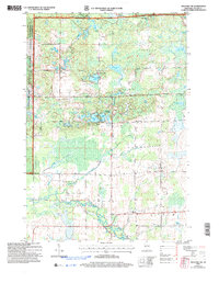 2005 Medford NW2006 Print · USGSNorthwestern Taylor County is shown here in the mid-2000s, where the national forest meets the agricultural headwaters of the Black River. Genealogists can locate family landmarks like the Molitor Cem, Brookside Sch, and the Townhall.
 - 2010 Map of Medford SW, 2010 Print
 2010 Medford SW2010 Print · USGSTaylor County agriculture and faith-based settlements are documented here in the early twenty-first century. Genealogists and local historians can trace property locations near the Amish Cemetery, Little Black Cemetery, and the banks of Trappers Creek.
 - 2010 Map of Stetsonville, 2010 Print
 2010 Stetsonville2010 Print · USGSThe Taylor County countryside comes into focus at the start of the 2010s, revealing a landscape of dairy farms and vital rural crossroads. Genealogists can locate several burial grounds like Zion Cemetery and North Memorial Cemetery, or trace the winding course of the Black River.
 - 2011 Map of Medford, 2011 Print
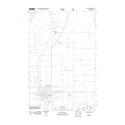 2011 Medford2011 Print · USGSMedford and the surrounding Taylor County countryside are shown here in the early twenty-first century as the Black River and its branches define the local geography. Genealogists and historians can locate numerous burial sites and landmarks including Whittlesey Catholic Cemetery, Evergreen Cemetery, and the Medford Post Office.
 - 2011 Map of Medford NW, 2011 Print
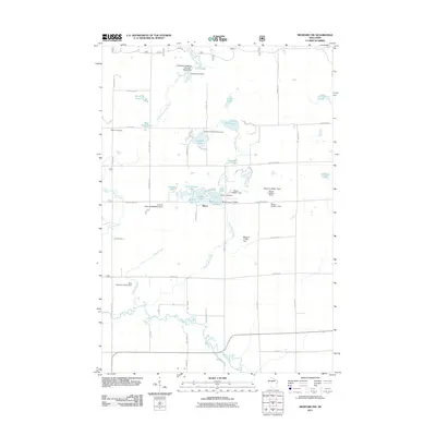 2011 Medford NW2011 Print · USGSTaylor County at the dawn of the 2010s reveals a landscape of glacial lakes and small-scale water management. Genealogists and local historians can trace family-named landmarks like Molitor Cemetery, the settlement of Murat, and the Sackett Lake Recreation Area.
 - 2013 Map of Medford, 2013 Print
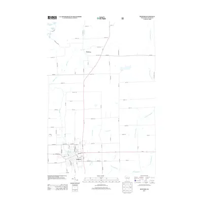 2013 Medford2013 Print · USGSMedford and the surrounding Taylor County countryside are captured here in the early twenty-first century as the area continued its growth along the Black River. Researchers can trace the development of Medford and Whittlesey or locate family sites near Medford Flowage and Correction Cr.
 - 2013 Map of Medford SW, 2013 Print
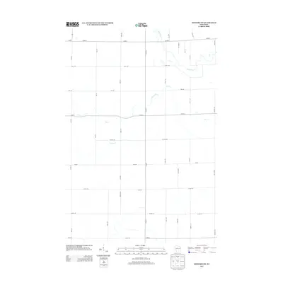 2013 Medford SW2013 Print · USGSTaylor County's agricultural heartland is documented here in the early twenty-first century, showing the intersection of rural life and the natural waterways. Researchers can trace the winding course of the Black River and Pine Creek across a grid of roads like Co Line Rd and Stetson Ave.
 - 2013 Map of Stetsonville, 2013 Print
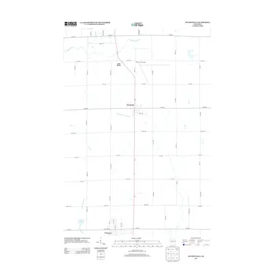 2013 Stetsonville2013 Print · USGSCentral Wisconsin's agricultural landscape is captured here in the early 2010s, centered on the settlements of Stetsonville and Little Black. Researchers can trace local property access and hydrology along the W Br Big Eau Pleine River or near the Taylor County Airport.
 - 2013 Map of Medford NW, 2013 Print
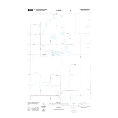 2013 Medford NW2013 Print · USGSTaylor County lake country is captured here during the early twenty-first century, showing the intricate wetlands around Murat. Researchers can trace the drainage of the Black River and locate family landmarks like Matt Ochs Lake and Sackett Lake.
 - 2015 Map of Medford, 2015 Print
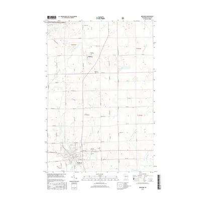 2015 Medford2015 Print · USGSMedford and the surrounding Taylor County woodlands are captured here during the mid-2010s, showing the intersection of forest and farmland. Genealogists can locate family sites at Whittlesey Catholic Cem, Holy Rosary Cem, and the glacial shores of Bullhead Lake.
 - 2015 Map of Medford NW, 2015 Print
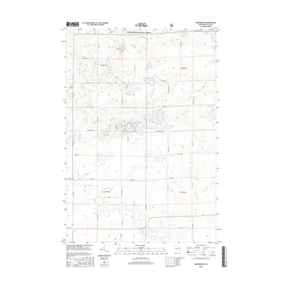 2015 Medford NW2015 Print · USGSTaylor County forest lands and glacial lakes are the focus of this mid-2010s survey of north-central Wisconsin. Local historians and researchers can trace the shorelines of Schoolhouse Lake, locate the Molitor Cem, and follow the path of the Black River.
 - 2015 Map of Stetsonville, 2015 Print
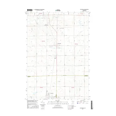 2015 Stetsonville2015 Print · USGSTaylor County and the village of Stetsonville are documented here in the mid-2010s, showcasing a landscape defined by dairy-land hydrology and rural cemeteries. Genealogists can locate family sites at Sacred Heart Cem and North Memorial Cem, or trace the winding course of the Black River.
 - 2015 Map of Medford SW, 2015 Print
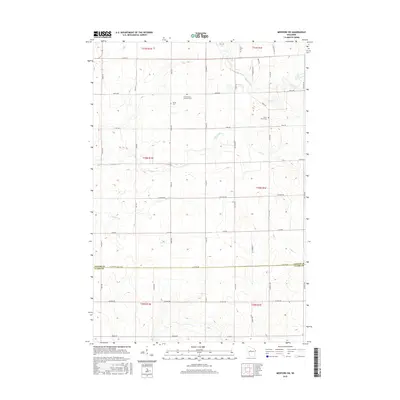 2015 Medford SW2015 Print · USGSTaylor County and Clark County farmland is documented here in the mid-2010s, showing a landscape defined by traditional agriculture and established rural cemeteries. Researchers can locate family sites at Our Saviours Lutheran Cem and Amish Cem or trace the waters of the Black River.
 - 2018 Map of Medford NW, 2018 Print
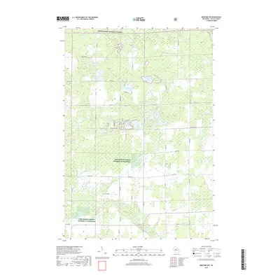 2018 Medford NW2018 Print · USGSTaylor County’s northwoods landscape is captured here in the late twenty-teens, showing the dense woods and glacial lakes of the Chequamegon National Forest. Researchers can locate Molitor Cem and trace the waterways of Washington Flowage and Sackett Lake.
 - 2018 Map of Stetsonville, 2018 Print
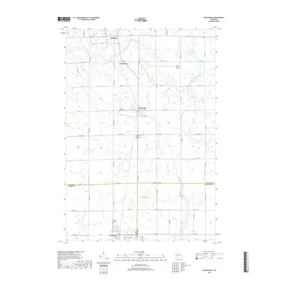 2018 Stetsonville2018 Print · USGSThe dairy lands and crossroads of Taylor County are documented here in the late twenty-teens. Researchers can trace rural lineages through sites like Sacred Heart Cem and North Memorial Cem, or follow the banks of the Little Black River.
 - 2018 Map of Medford, 2018 Print
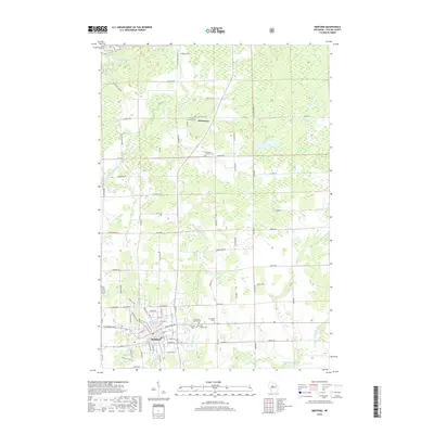 2018 Medford2018 Print · USGSTaylor County in the late 2010s shows a landscape of river-valley settlements and quiet glacial lakes. Genealogists can trace family histories through detailed sites like Evergreen Cem II or the twin churchyards in Whittlesey.
 - 2018 Map of Medford SW, 2018 Print
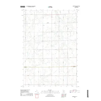 2018 Medford SW2018 Print · USGSThis rural portion of the Northwoods at the Taylor and Clark county line shows a landscape of steady agricultural tradition. Genealogists can locate family landmarks such as Our Saviours Lutheran Cem, Amish Cem, and the winding course of the Black River.
Showing maps 1-25 of 29
Top cities near Medford
- Medford historical maps
- Abbotsford historical maps
- Little Black historical maps
- Owen historical maps
- Ogema historical maps
- Rib Lake historical maps
See more
Frequently asked questions
- What are the different types of historical maps available for Medford?
- What is the oldest map of Medford?
- Where can I purchase historical maps of Medford for my home or office?
- Where can I download high-res historical maps of Medford?
- Are there historical topographic maps available for Medford?
- Is there historical aerial imagery available for Medford?
- Where are historical maps of Medford sourced from?