Old Maps of Liberty, Wisconsin for Hiking & Exploration
Hike through history with 40 historic maps of Liberty. Explore old trails, ghost towns, and forgotten backroads — perfect for outdoor adventurers and local explorers.
- Rediscover forgotten places: Map out old mining camps, roads, and footpaths that no longer exist on modern maps.
- Layer with modern tools: Combine with LiDAR or satellite views to plan hikes through historical terrain.
- Made for exploration: Popular among hikers, overlanders, and local history lovers.
Use these maps to find adventure and explore the hidden past of Liberty.
Liberty, WI maps
(40)- 1923 Map of Viroqua, 1960 Print
 1923 Viroqua1960 Print · USGSViroqua and the rural townships of Vernon and Monroe counties are shown in the early 1920s as a thriving network of ridge-top farms and valley schools. Genealogists can locate family landmarks like Wang Church, the Vernon County Asylum, and the Clockmaker School.
 - 1924 Map of Gays Mills, 1957 Print
 1924 Gays Mills1957 Print · USGSCrawford County's ridgelands and the Kickapoo River valley are captured in detail during the mid-twenties, showing the region's rural character before modern road realignment. Genealogists can locate dozens of country schoolhouses and churches, from Liberty Pole to the Nash Church, alongside family landmarks like Monument Rock.
 - 1926 Map of Gays Mills
 1926 Gays Mills1926 Print · USGSCrawford and Vernon Counties are captured during the mid-twenties when the Kickapoo River valley was a bustling rail corridor. Genealogists can trace hundreds of family-named features like Helgerson Ridge, McManus Valley, and many rural institutions including Evergreen Cemetery and the Southwest Prairie Church.
 - 1926 Map of Viroqua
 1926 Viroqua1926 Print · USGSThe ridge-and-valley country of Vernon County is captured in the mid-1920s, showing a landscape of small farms connected by a vast network of rural schools. Genealogists can trace hundreds of family sites near Clockmaker School, Moen Church, and the Vernon County Asylum.2 unique versions available
 - 1926 Map of La Farge
 1926 La Farge1926 Print · USGSThe Kickapoo River valley in the mid-1920s reveals a landscape of ridge-top farms and isolated coulee settlements. Genealogists can trace family footprints across dozens of local school sites like Johnniecake School and through the rail corridor of the Chicago Milwaukee and St Paul River.3 unique versions available
 - 1933 Map of Boaz
 1933 Boaz1933 Print · USGSRichland and Vernon counties are shown in the early thirties as a landscape of steep ridges and school-rich valleys. Genealogists can trace family roots through dozens of rural schools and churches, from Rolling Ground and Jimtown to the Dieter Hollow Church.2 unique versions available
 - 1958 Map of La Crosse, 1979 Print
 1958 La Crosse1979 Print · USGSThe Driftless Area of Wisconsin and Iowa is captured here during the late seventies, showing the intricate river valleys and ridge-top settlements. Genealogists and historians can trace the rail corridors of the Soo Line or locate landmarks like Grandad Bluff and Effigy Mounds National Monument.2 unique versions available
 - 1961 Map of La Crosse
 1961 La Crosse1961 Print · USGSThe Driftless Area at the start of the 1960s reveals a complex network of river towns and rail lines along the Mississippi River. Genealogists and historians can trace old settlements like New Amsterdam and Wyattville or locate major landmarks like Camp McCoy Military Reservation and Effigy Mounds National Monument.
 - 1965 Map of La Crosse
 1965 La Crosse1965 Print · USGSThe Driftless Area and the Upper Mississippi valley are captured here during a period of steady mid-century growth. Researchers can trace the rail lines of the Chicago and North Western or locate riverfront sites like Effigy Mounds National Monument and the Camp McCoy Military Reservation.
 - 1965 Map of La Farge, 1967 Print
 1965 La Farge1967 Print · USGSThe Kickapoo River valley and the ridges of Vernon County are captured here in the mid-sixties, showing a landscape defined by small-scale farming and winding valley roads. Researchers can trace rural lineages through numerous hilltop landmarks like Oak Ridge Ch, Potts Corners, and the Billings Creek Cem.
 - 1965 Map of Viroqua, 1967 Print
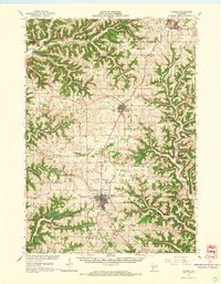 1965 Viroqua1967 Print · USGSVernon County ridge country is captured in the mid-1960s, showing the agricultural heart of the Driftless Area. Genealogists and historians can locate family landmarks like Bethel Ch Cem, rural schools such as Smith Sch, and the winding Kickapoo River valley.2 unique versions available
 - 1966 Map of Gays Mills, 1968 Print
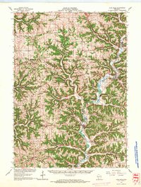 1966 Gays Mills1968 Print · USGSCrawford and Vernon counties in the mid-sixties show a landscape of steep ridges and winding river bottoms. Genealogists and historians can trace family roots through the Southwest Prairie Ch, the Rising Sun Sch, and small settlements like Petersburg and Fargo.
 - 1966 Map of Boaz, 1968 Print
 1966 Boaz1968 Print · USGSRichland County's ridge-and-valley landscape is captured here in the mid-1960s, showing a network of rural settlements and family-named hollows. Researchers can trace local history through sites like Kickapoo Center Ch, Rolling Ground, and the Tavera Sch.
 - 1976 Map of La Crosse
 1976 La Crosse1976 Print · USGSThe Driftless Area and Mississippi River valley are captured here in the mid-seventies, showing a landscape of deep coulees and river commerce. Genealogists can trace family footprints from La Crosse to smaller hamlets like Newburg Corners and Witoka.
 - 1983 Map of Avalanche
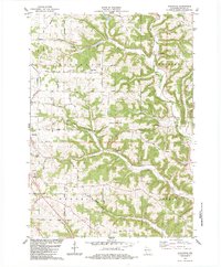 1983 Avalanche1983 Print · USGSVernon County ridge country is captured here in the early eighties, showing the deeply etched valleys of the Kickapoo River system. Researchers can locate numerous family burial grounds including Asbury Ridge Cem, White Cem, and Brookville Cem.2 unique versions available
 - 1983 Map of Readstown
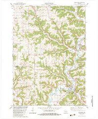 1983 Readstown1983 Print · USGSThe Kickapoo River valley in the early 1980s reveals a landscape of high ridges and deep hollows. Genealogists can trace family roots through several rural sites like Kickapoo Ch, Fortney Cem, and the settlement of Folsom.
 - 1983 Map of Sugar Grove
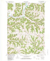 1983 Sugar Grove1983 Print · USGSThe Kickapoo River valley in the early 1980s reveals a landscape of high ridges and winding hollows at the junction of three counties. Trace family history at Sugar Grove or Kickapoo Center and locate rural landmarks like Berry Cem and Kickapoo High Sch.
 - 1983 Map of La Farge, 1984 Print
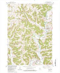 1983 La Farge1984 Print · USGSThe Kickapoo Valley in the early eighties was a landscape of high ridges and tight hollows centered on La Farge and Viola. Researchers can trace old transportation routes like the Old Railroad Grade and locate ancestral sites at Star Cem or Chapel Hill Cem.
 - 1985 Map of Sparta
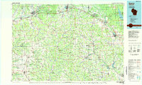 1985 Sparta1985 Print · USGSWestern Wisconsin in the 1980s shows the unique ridge-and-valley terrain of the Driftless Area during a period of transition for its rails and rural hubs. Trace the historic rail tunnels of the Elroy-Sparta State Trail and find local landmarks like St Marys Ch and Castle Rock Lake.2 unique versions available
 - 1985 Map of Richland Center, 1991 Print
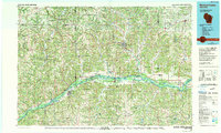 1985 Richland Center1991 Print · USGSSouthwest Wisconsin’s driftless landscape in the mid-1980s is defined by its deep river valleys and tight agricultural settlements. Researchers can trace family-named landmarks like Mickelson Ridge or find remote churches and schools near Richland Center and Dodgeville.
 - 2010 Map of Avalanche, 2010 Print
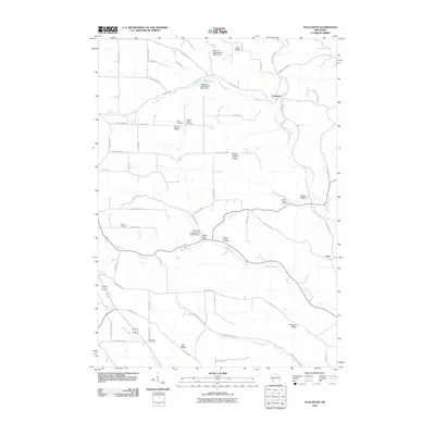 2010 Avalanche2010 Print · USGSVernon County's ridge-and-valley landscape is documented here in the early twenty-first century, centered on the river community of Avalanche. Researchers can trace local heritage through numerous family and community burial sites like Asbury Ridge Cemetery and Brush Hollow Cemetery.
 - 2010 Map of Readstown, 2010 Print
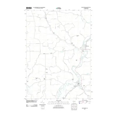 2010 Readstown2010 Print · USGSThe Kickapoo River valley in the early twenty-first century remains a landscape of tightly clustered riverside villages and high ridge farms. Genealogists can locate numerous local burial sites including Forest Hill Cemetery and Kickapoo Cemetery near Soldiers Grove.
 - 2010 Map of Sugar Grove, 2010 Print
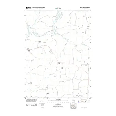 2010 Sugar Grove2010 Print · USGSCrawford County farms and ridges are mapped in detail during this 2010 survey of the Kickapoo River valley. Researchers can locate numerous family-named landmarks like Lidencroft Farm, several historic burial grounds including Sylvan Cemetery, and the high ground of Sugar Grove Ridge.
 - 2010 Map of La Farge, 2010 Print
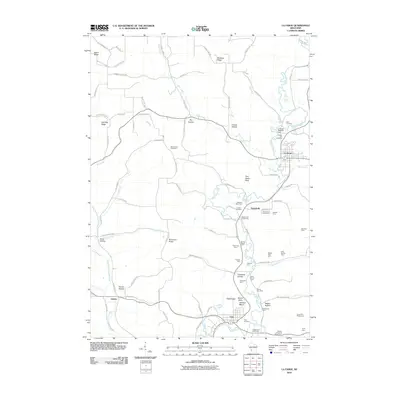 2010 La Farge2010 Print · USGSThe Kickapoo River valley in Vernon County is shown here in the early twenty-first century, centered on the village of La Farge. Genealogists and local historians can locate several named cemeteries, including Star Cemetery, and numerous family-run operations like Oakland Farm or Waggoners Stock Farm.
 - 2013 Map of Sugar Grove, 2013 Print
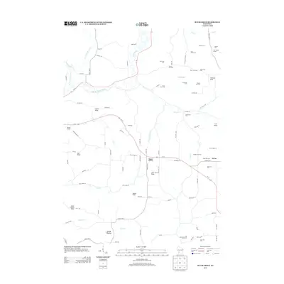 2013 Sugar Grove2013 Print · USGSThe Driftless Area of Wisconsin is captured here in the early twenty-first century, showing a landscape defined by high ridges and family farmsteads. Researchers can trace the boundaries of historic properties like Cold Springs Farm and Orchard Lawn Farm or locate the rural centers of Sugar Grove and North Clayton.
Showing maps 1-25 of 40
Top cities near Liberty
- Viroqua historical maps
- Westby historical maps
- Cashton historical maps
- Seneca historical maps
- La Farge historical maps
- Soldiers Grove historical maps
See more
Top neighborhoods of Liberty
Frequently asked questions
- What are the different types of historical maps available for Liberty?
- What is the oldest map of Liberty?
- Where can I purchase historical maps of Liberty for my home or office?
- Where can I download high-res historical maps of Liberty?
- Are there historical topographic maps available for Liberty?
- Is there historical aerial imagery available for Liberty?
- Where are historical maps of Liberty sourced from?