2020s Maps of Sterling, Wisconsin
Explore 4 historic maps of Sterling from the 2020s. These maps offer a rare glimpse into what life looked like during the 2020s — showing old roads, neighborhoods, homes, and landmarks that have changed or disappeared over time.
Whether you're researching your family's past, planning a metal detecting trip, or studying how Sterling's landscape evolved across the 2020s, these high-resolution maps are a powerful tool for exploring the history of this region.
- Focus on a specific era: All maps on this page are from the 2020s, giving you a focused view of this time period.
- See what’s changed: Compare century-old streets, trails, and buildings to today's modern landscape using overlays and satellite layers.
- Research with precision: Use these maps for genealogy, historical research, land use analysis, or educational projects.
- View, download, or print: Maps are fully viewable online in high resolution, and can be downloaded or printed for your own records.
Start exploring Sterling's history through authentic maps from the 2020s. This is your window into the past.
Sterling, WI maps
(4)- 2022 Map of Newton, 2022 Print
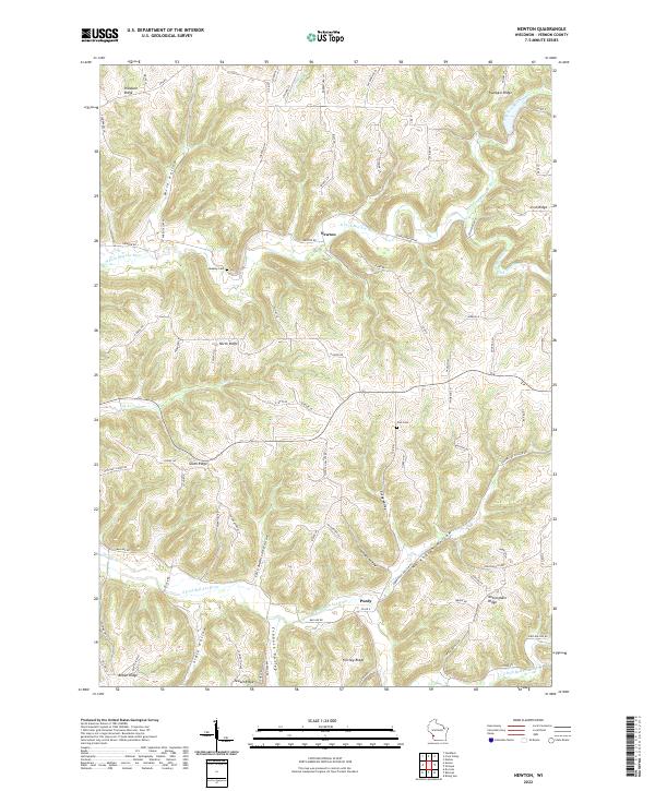 2022 Newton2022 Print · USGSThe rural uplands of Vernon County are revealed in this modern topographic study of the Driftless Area. Local historians can trace the ridges and valleys of Newton and Purdy, locating family landmarks like Haukley Cem and Zion Cem or the winding Norwegian Hollow.
 - 2022 Map of Retreat, 2022 Print
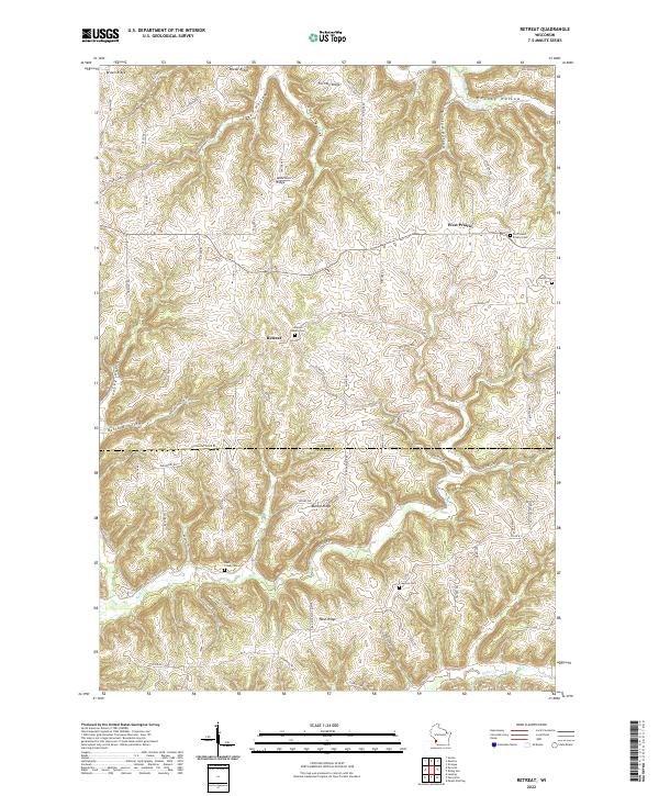 2022 Retreat2022 Print · USGSThe borderlands of Vernon and Crawford Counties appear here in the early twenty-first century, showcasing a rural landscape defined by high ridges and deep hollows. Researchers can trace family history through numerous landmarks including Walnut Mound Cem, the settlement of Retreat, and the winding path of Rush Creek.
 - 2022 Map of Rising Sun, 2022 Print
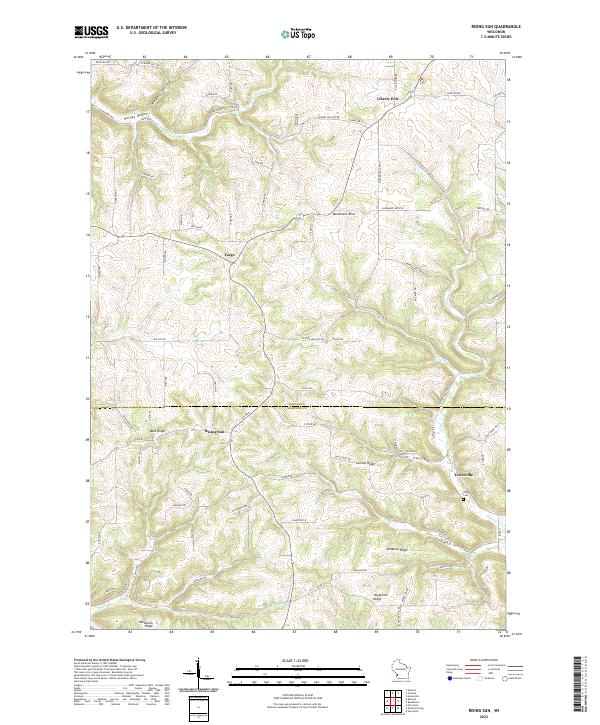 2022 Rising Sun2022 Print · USGSThe ridges of the unglaciated Driftless Area are captured here in the contemporary era, showing the high-ground settlements of Rising Sun and Liberty Pole. Genealogists and local historians can trace family farmsteads and old burial sites like Towerville Cemetery along the winding paths of McManus Ridge.
 - 2022 Map of Viroqua, 2022 Print
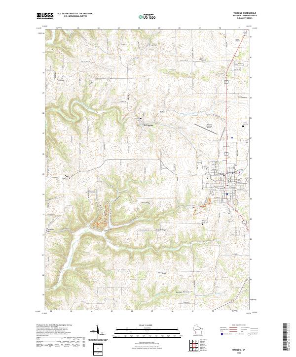 2022 Viroqua2022 Print · USGSViroqua and the surrounding Vernon County ridges are mapped here in the early twenty-first century, showcasing the area's complex driftless topography. Genealogists and historians can locate the County Farm Cem, Pioneer Cem, and landmarks like the Vernon County Courthouse.
End of results
Showing maps 1-4 of 4
Top cities near Sterling
- Viroqua historical maps
- Westby historical maps
- Lansing historical maps
- Seneca historical maps
- Stoddard historical maps
- Coon Valley historical maps
See more
Top neighborhoods of Sterling
Frequently asked questions
- What are the different types of historical maps available for Sterling?
- What is the oldest map of Sterling?
- Where can I purchase historical maps of Sterling for my home or office?
- Where can I download high-res historical maps of Sterling?
- Are there historical topographic maps available for Sterling?
- Is there historical aerial imagery available for Sterling?
- Where are historical maps of Sterling sourced from?