2000s (21st Century) Maps of Viroqua, Wisconsin
Explore 25 historic maps of Viroqua from the 2000s (21st Century). These maps offer a rare glimpse into what life looked like during the 2000s — showing old roads, neighborhoods, homes, and landmarks that have changed or disappeared over time.
Whether you're researching your family's past, planning a metal detecting trip, or studying how Viroqua's landscape evolved across the 2000s, these high-resolution maps are a powerful tool for exploring the history of this region.
- Focus on a specific era: All maps on this page are from the 2000s, giving you a focused view of this time period.
- See what’s changed: Compare century-old streets, trails, and buildings to today's modern landscape using overlays and satellite layers.
- Research with precision: Use these maps for genealogy, historical research, land use analysis, or educational projects.
- View, download, or print: Maps are fully viewable online in high resolution, and can be downloaded or printed for your own records.
Start exploring Viroqua's history through authentic maps from the 2000s. This is your window into the past.
Viroqua, WI maps
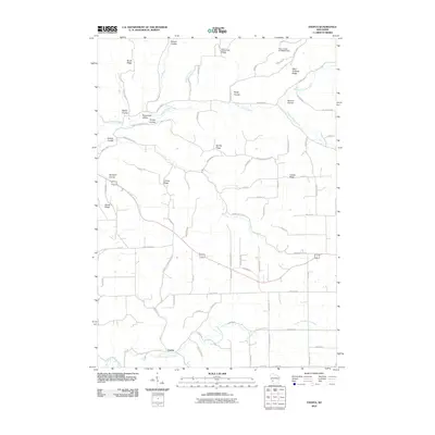
(25)- 2010 Map of Avalanche, 2010 Print
 2010 Avalanche2010 Print · USGSCovers Viroqua, including Liberty, Franklin, and other nearby areas
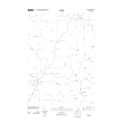
 - 2010 Map of Viroqua, 2010 Print
 2010 Viroqua2010 Print · USGSCovers Viroqua, including Jefferson, Sterling, and other nearby areas
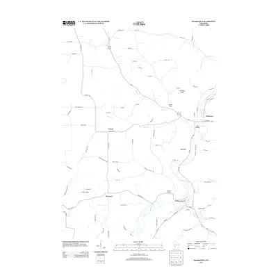
 - 2010 Map of Readstown, 2010 Print
 2010 Readstown2010 Print · USGSCovers Viroqua, including Soldiers Grove, Readstown, and other nearby areas
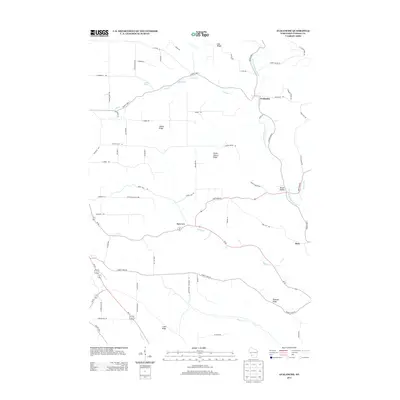
 - 2010 Map of Westby, 2010 Print
 2010 Westby2010 Print · USGSCovers Viroqua, including Westby, Cashton, and other nearby areas
 - 2010 Map of Esofea, 2010 Print
 2010 Esofea2010 Print · USGSCovers Viroqua, including Jefferson, Coon, and other nearby areas
 - 2013 Map of Readstown, 2013 Print
 2013 Readstown2013 Print · USGSCovers Viroqua, including Soldiers Grove, Readstown, and other nearby areas
 - 2013 Map of Westby, 2013 Print
 2013 Westby2013 Print · USGSCovers Viroqua, including Westby, Cashton, and other nearby areas
 - 2013 Map of Avalanche, 2013 Print
 2013 Avalanche2013 Print · USGSCovers Viroqua, including Liberty, Franklin, and other nearby areas
 - 2013 Map of Esofea, 2013 Print
 2013 Esofea2013 Print · USGSCovers Viroqua, including Jefferson, Coon, and other nearby areas
 - 2013 Map of Viroqua, 2013 Print
 2013 Viroqua2013 Print · USGSCovers Viroqua, including Jefferson, Sterling, and other nearby areas
 - 2016 Map of Westby, 2016 Print
 2016 Westby2016 Print · USGSCovers Viroqua, including Westby, Cashton, and other nearby areas
 - 2016 Map of Esofea, 2016 Print
 2016 Esofea2016 Print · USGSCovers Viroqua, including Jefferson, Coon, and other nearby areas
 - 2016 Map of Avalanche, 2016 Print
 2016 Avalanche2016 Print · USGSCovers Viroqua, including Liberty, Franklin, and other nearby areas
 - 2016 Map of Viroqua, 2016 Print
 2016 Viroqua2016 Print · USGSCovers Viroqua, including Jefferson, Sterling, and other nearby areas
 - 2016 Map of Readstown, 2016 Print
 2016 Readstown2016 Print · USGSCovers Viroqua, including Soldiers Grove, Readstown, and other nearby areas
 - 2018 Map of Westby, 2018 Print
 2018 Westby2018 Print · USGSCovers Viroqua, including Westby, Cashton, and other nearby areas
 - 2018 Map of Esofea, 2018 Print
 2018 Esofea2018 Print · USGSCovers Viroqua, including Jefferson, Coon, and other nearby areas
 - 2018 Map of Readstown, 2018 Print
 2018 Readstown2018 Print · USGSCovers Viroqua, including Soldiers Grove, Readstown, and other nearby areas
 - 2018 Map of Avalanche, 2018 Print
 2018 Avalanche2018 Print · USGSCovers Viroqua, including Liberty, Franklin, and other nearby areas
 - 2018 Map of Viroqua, 2018 Print
 2018 Viroqua2018 Print · USGSCovers Viroqua, including Jefferson, Sterling, and other nearby areas
 - 2022 Map of Avalanche, 2022 Print
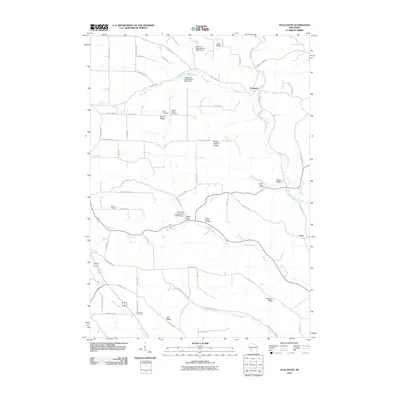
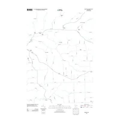
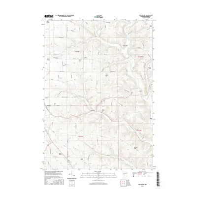
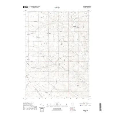
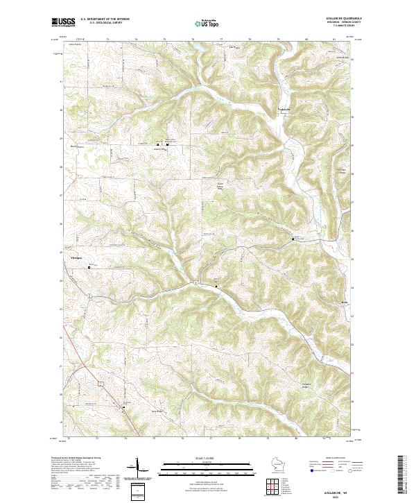 2022 Avalanche2022 Print · USGSVernon County’s rugged ridge-and-valley country is captured here in the early 2020s, showing the rural landscape around Avalanche and Viroqua. Genealogists can locate several historic burial sites, including Brookville Cem and White Cem, tucked between landmarks like Salem Ridge and Brush Hollow.
 - 2022 Map of Westby, 2022 Print
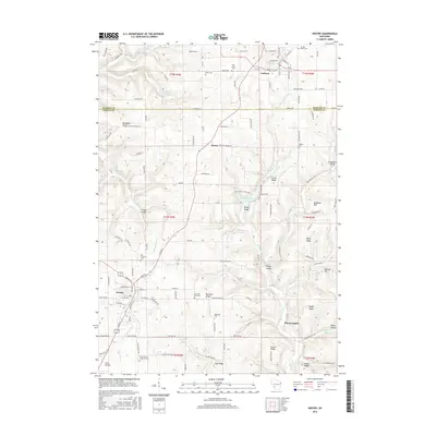
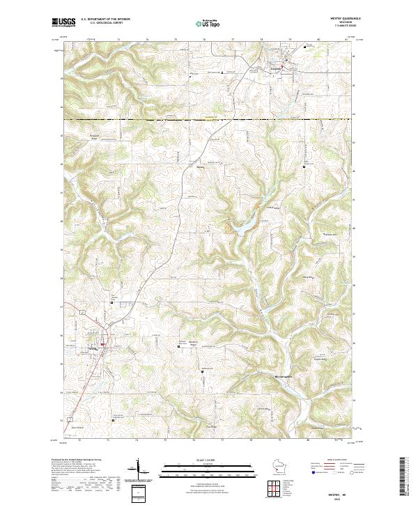 2022 Westby2022 Print · USGSThe high ridge country of Vernon and Monroe counties comes into sharp focus here during the early 2020s. Genealogists can locate several family and community burial sites including Our Saviours Cem, Moen Cem, and Coon Prairie Lutheran Cem.
 - 2022 Map of Viroqua, 2022 Print
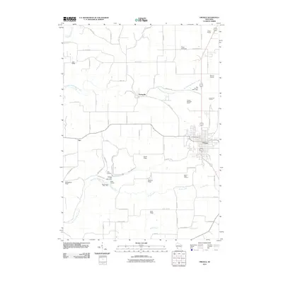
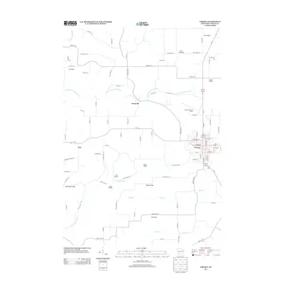
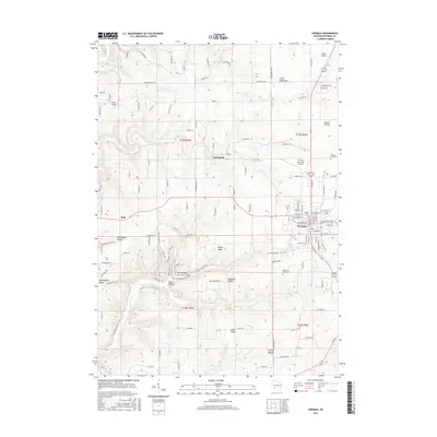
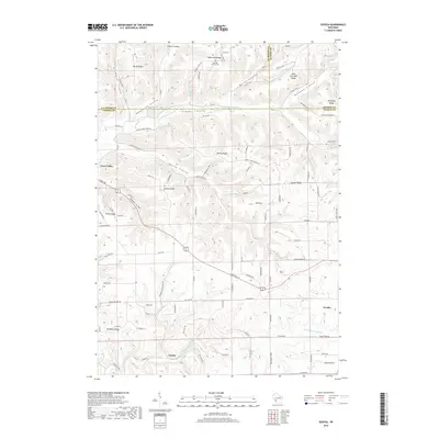
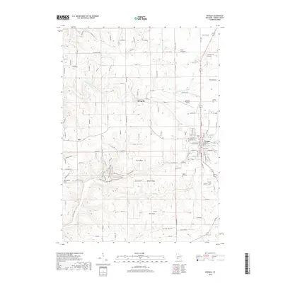
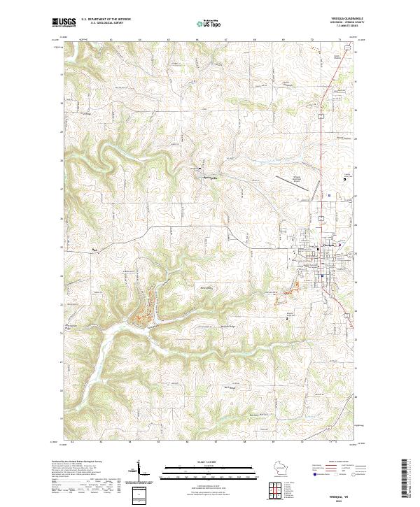 2022 Viroqua2022 Print · USGSViroqua and the surrounding Vernon County ridges are mapped here in the early twenty-first century, showcasing the area's complex driftless topography. Genealogists and historians can locate the County Farm Cem, Pioneer Cem, and landmarks like the Vernon County Courthouse.
 - 2022 Map of Esofea, 2022 Print
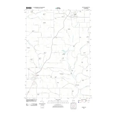
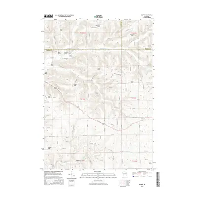
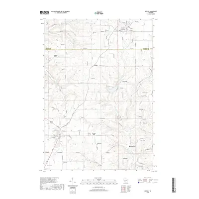
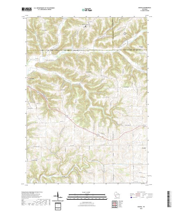 2022 Esofea2022 Print · USGSVernon County ridge and valley country is meticulously documented here as it appeared in the early 2020s. Local researchers can trace family landmarks and rural settlements from Urbanek Family Cem to the outskirts of Westby and Coon Valley.
 - 2022 Map of Readstown, 2022 Print
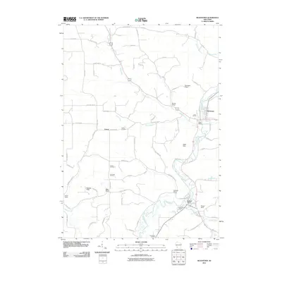
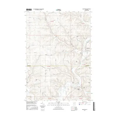
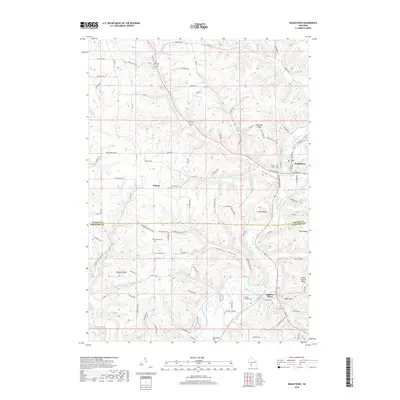
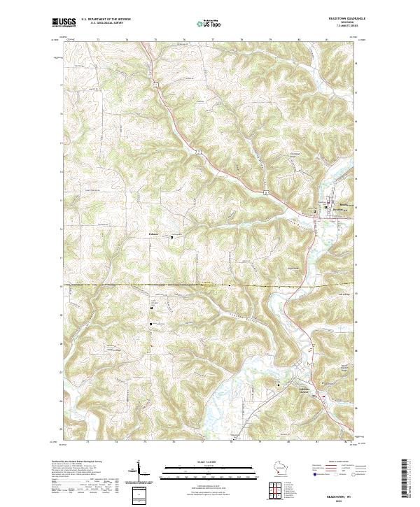 2022 Readstown2022 Print · USGSThe Kickapoo River valley in southwestern Wisconsin comes to life on this 2022 survey of Vernon and Crawford counties. Researchers can trace family history through numerous rural burial grounds like Hooverson Cem and Forest Hill Cem while exploring the topography of Spring Valley and Swiggum Ridge.
End of results
Showing maps 1-25 of 25
Top cities near Viroqua
- Viroqua historical maps
- Westby historical maps
- Cashton historical maps
- La Farge historical maps
- Coon Valley historical maps
- Soldiers Grove historical maps
See more
Frequently asked questions
- What are the different types of historical maps available for Viroqua?
- What is the oldest map of Viroqua?
- Where can I purchase historical maps of Viroqua for my home or office?
- Where can I download high-res historical maps of Viroqua?
- Are there historical topographic maps available for Viroqua?
- Is there historical aerial imagery available for Viroqua?
- Where are historical maps of Viroqua sourced from?