2000s (21st Century) Maps of Viola, Wisconsin
Explore 10 historic maps of Viola from the 2000s (21st Century). These maps offer a rare glimpse into what life looked like during the 2000s — showing old roads, neighborhoods, homes, and landmarks that have changed or disappeared over time.
Whether you're researching your family's past, planning a metal detecting trip, or studying how Viola's landscape evolved across the 2000s, these high-resolution maps are a powerful tool for exploring the history of this region.
- Focus on a specific era: All maps on this page are from the 2000s, giving you a focused view of this time period.
- See what’s changed: Compare century-old streets, trails, and buildings to today's modern landscape using overlays and satellite layers.
- Research with precision: Use these maps for genealogy, historical research, land use analysis, or educational projects.
- View, download, or print: Maps are fully viewable online in high resolution, and can be downloaded or printed for your own records.
Start exploring Viola's history through authentic maps from the 2000s. This is your window into the past.
Viola, WI maps
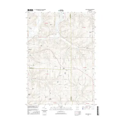
(10)- 2010 Map of Sugar Grove, 2010 Print
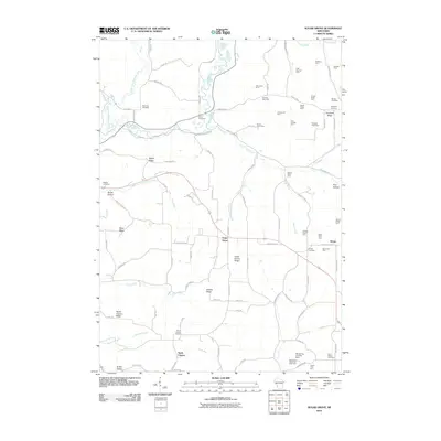 2010 Sugar Grove2010 Print · USGSCovers Viola, including Soldiers Grove, Sylvan, and other nearby areas
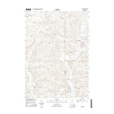
 - 2010 Map of La Farge, 2010 Print
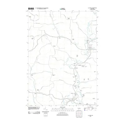 2010 La Farge2010 Print · USGSCovers Viola, including La Farge, Liberty, and other nearby areas
 - 2013 Map of Sugar Grove, 2013 Print
 2013 Sugar Grove2013 Print · USGSCovers Viola, including Soldiers Grove, Sylvan, and other nearby areas
 - 2013 Map of La Farge, 2013 Print
 2013 La Farge2013 Print · USGSCovers Viola, including La Farge, Liberty, and other nearby areas
 - 2016 Map of La Farge, 2016 Print
 2016 La Farge2016 Print · USGSCovers Viola, including La Farge, Liberty, and other nearby areas
 - 2016 Map of Sugar Grove, 2016 Print
 2016 Sugar Grove2016 Print · USGSCovers Viola, including Soldiers Grove, Sylvan, and other nearby areas
 - 2018 Map of Sugar Grove, 2018 Print
 2018 Sugar Grove2018 Print · USGSCovers Viola, including Soldiers Grove, Sylvan, and other nearby areas
 - 2018 Map of La Farge, 2018 Print
 2018 La Farge2018 Print · USGSCovers Viola, including La Farge, Liberty, and other nearby areas
 - 2022 Map of Sugar Grove, 2022 Print
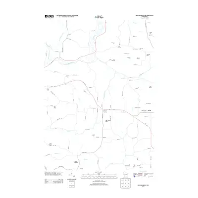
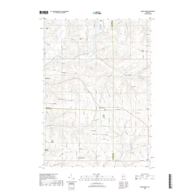
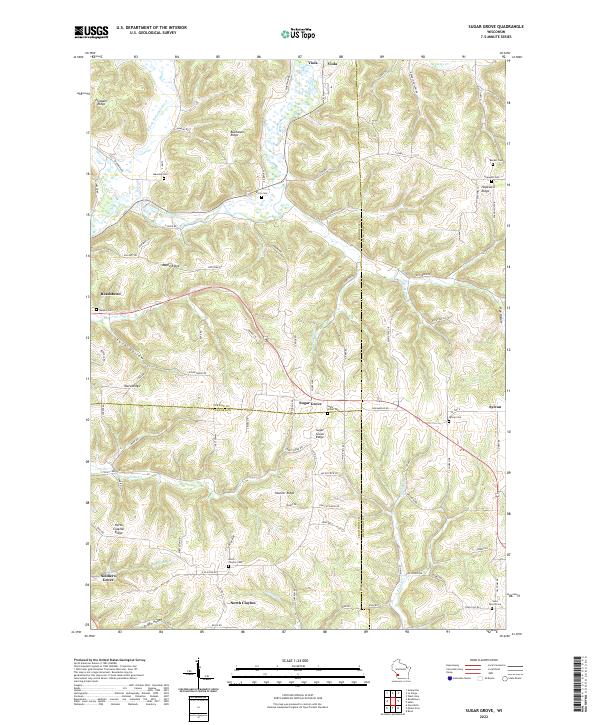 2022 Sugar Grove2022 Print · USGSThe Driftless Area of Vernon and Richland counties is shown here in detail, focusing on the high ridges and deep river valleys of southwestern Wisconsin. Genealogists can locate several family and community burial grounds, including Sugar Grove Cem, Hopewell Cem, and Saint Peters Cem.
 - 2022 Map of La Farge, 2022 Print
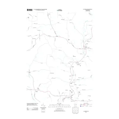
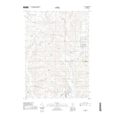
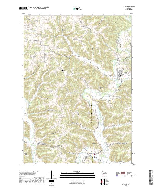 2022 La Farge2022 Print · USGSThe Kickapoo River valley in the early twenty-first century remains a landscape of high ridges and deep hollows. Trace local family history through rural landmarks like Mount Zion Cem, Star Cem, and the river settlements of La Farge and Viola.
End of results
Showing maps 1-10 of 10
Top cities near Viola
- Viroqua historical maps
- Westby historical maps
- Cashton historical maps
- La Farge historical maps
- Soldiers Grove historical maps
- Gays Mills historical maps
See more
Frequently asked questions
- What are the different types of historical maps available for Viola?
- What is the oldest map of Viola?
- Where can I purchase historical maps of Viola for my home or office?
- Where can I download high-res historical maps of Viola?
- Are there historical topographic maps available for Viola?
- Is there historical aerial imagery available for Viola?
- Where are historical maps of Viola sourced from?