Old Maps of Viola, Wisconsin for Academic Research
Study the evolution of Viola with 22 high-resolution historic maps. Whether you're teaching, researching, or modeling changes in land use, these maps provide essential visual documentation of urban, environmental, and geographic change.
- Analyze long-term change: Track patterns in development, transportation, and natural features.
- Ideal for environmental or urban studies: Support academic projects with primary historical map data.
- Use in the classroom or lab: Educators and researchers rely on these maps to bring historical context to life.
These maps are a powerful tool for teaching, research, and visualizing how Viola has changed over the decades.
Viola, WI maps
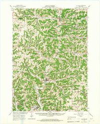
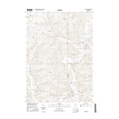
(22)- 1926 Map of La Farge
 1926 La Farge1926 Print · USGSThe Kickapoo River valley in the mid-1920s reveals a landscape of ridge-top farms and isolated coulee settlements. Genealogists can trace family footprints across dozens of local school sites like Johnniecake School and through the rail corridor of the Chicago Milwaukee and St Paul River.3 unique versions available
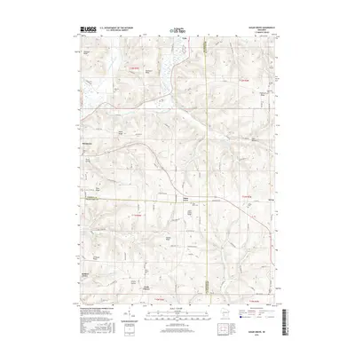
 - 1933 Map of Boaz
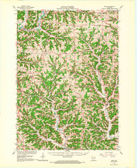
 1933 Boaz1933 Print · USGSRichland and Vernon counties are shown in the early thirties as a landscape of steep ridges and school-rich valleys. Genealogists can trace family roots through dozens of rural schools and churches, from Rolling Ground and Jimtown to the Dieter Hollow Church.2 unique versions available
 - 1958 Map of La Crosse, 1979 Print
 1958 La Crosse1979 Print · USGSThe Driftless Area of Wisconsin and Iowa is captured here during the late seventies, showing the intricate river valleys and ridge-top settlements. Genealogists and historians can trace the rail corridors of the Soo Line or locate landmarks like Grandad Bluff and Effigy Mounds National Monument.2 unique versions available
 - 1961 Map of La Crosse
 1961 La Crosse1961 Print · USGSThe Driftless Area at the start of the 1960s reveals a complex network of river towns and rail lines along the Mississippi River. Genealogists and historians can trace old settlements like New Amsterdam and Wyattville or locate major landmarks like Camp McCoy Military Reservation and Effigy Mounds National Monument.
 - 1965 Map of La Crosse
 1965 La Crosse1965 Print · USGSThe Driftless Area and the Upper Mississippi valley are captured here during a period of steady mid-century growth. Researchers can trace the rail lines of the Chicago and North Western or locate riverfront sites like Effigy Mounds National Monument and the Camp McCoy Military Reservation.
 - 1965 Map of La Farge, 1967 Print
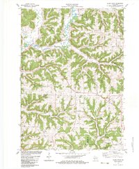
 1965 La Farge1967 Print · USGSThe Kickapoo River valley and the ridges of Vernon County are captured here in the mid-sixties, showing a landscape defined by small-scale farming and winding valley roads. Researchers can trace rural lineages through numerous hilltop landmarks like Oak Ridge Ch, Potts Corners, and the Billings Creek Cem.
 - 1966 Map of Boaz, 1968 Print
 1966 Boaz1968 Print · USGSRichland County's ridge-and-valley landscape is captured here in the mid-1960s, showing a network of rural settlements and family-named hollows. Researchers can trace local history through sites like Kickapoo Center Ch, Rolling Ground, and the Tavera Sch.
 - 1976 Map of La Crosse
 1976 La Crosse1976 Print · USGSThe Driftless Area and Mississippi River valley are captured here in the mid-seventies, showing a landscape of deep coulees and river commerce. Genealogists can trace family footprints from La Crosse to smaller hamlets like Newburg Corners and Witoka.
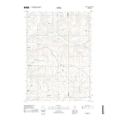
 - 1983 Map of Sugar Grove
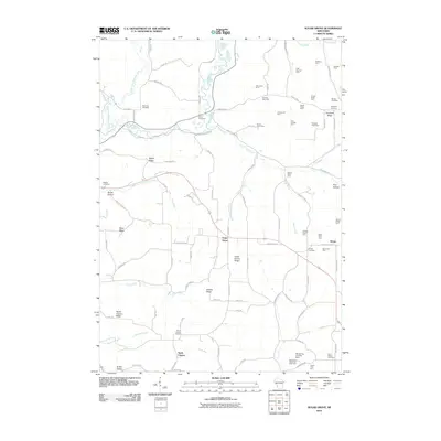
 1983 Sugar Grove1983 Print · USGSThe Kickapoo River valley in the early 1980s reveals a landscape of high ridges and winding hollows at the junction of three counties. Trace family history at Sugar Grove or Kickapoo Center and locate rural landmarks like Berry Cem and Kickapoo High Sch.
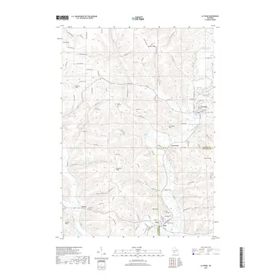
 - 1983 Map of La Farge, 1984 Print
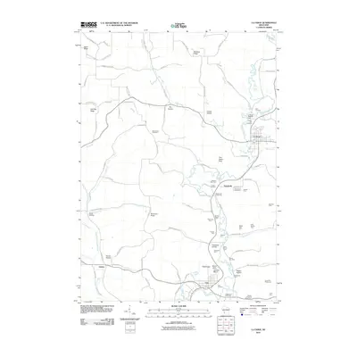
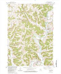 1983 La Farge1984 Print · USGSThe Kickapoo Valley in the early eighties was a landscape of high ridges and tight hollows centered on La Farge and Viola. Researchers can trace old transportation routes like the Old Railroad Grade and locate ancestral sites at Star Cem or Chapel Hill Cem.
 - 1985 Map of Sparta
 1985 Sparta1985 Print · USGSWestern Wisconsin in the 1980s shows the unique ridge-and-valley terrain of the Driftless Area during a period of transition for its rails and rural hubs. Trace the historic rail tunnels of the Elroy-Sparta State Trail and find local landmarks like St Marys Ch and Castle Rock Lake.2 unique versions available
 - 1985 Map of Richland Center, 1991 Print
 1985 Richland Center1991 Print · USGSSouthwest Wisconsin’s driftless landscape in the mid-1980s is defined by its deep river valleys and tight agricultural settlements. Researchers can trace family-named landmarks like Mickelson Ridge or find remote churches and schools near Richland Center and Dodgeville.
 - 2010 Map of Sugar Grove, 2010 Print
 2010 Sugar Grove2010 Print · USGSCovers Viola, including Soldiers Grove, Sylvan, and other nearby areas
 - 2010 Map of La Farge, 2010 Print
 2010 La Farge2010 Print · USGSCovers Viola, including La Farge, Liberty, and other nearby areas
 - 2013 Map of Sugar Grove, 2013 Print
 2013 Sugar Grove2013 Print · USGSCovers Viola, including Soldiers Grove, Sylvan, and other nearby areas
 - 2013 Map of La Farge, 2013 Print
 2013 La Farge2013 Print · USGSCovers Viola, including La Farge, Liberty, and other nearby areas
 - 2016 Map of La Farge, 2016 Print
 2016 La Farge2016 Print · USGSCovers Viola, including La Farge, Liberty, and other nearby areas
 - 2016 Map of Sugar Grove, 2016 Print
 2016 Sugar Grove2016 Print · USGSCovers Viola, including Soldiers Grove, Sylvan, and other nearby areas
 - 2018 Map of Sugar Grove, 2018 Print
 2018 Sugar Grove2018 Print · USGSCovers Viola, including Soldiers Grove, Sylvan, and other nearby areas
 - 2018 Map of La Farge, 2018 Print
 2018 La Farge2018 Print · USGSCovers Viola, including La Farge, Liberty, and other nearby areas
 - 2022 Map of Sugar Grove, 2022 Print
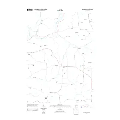
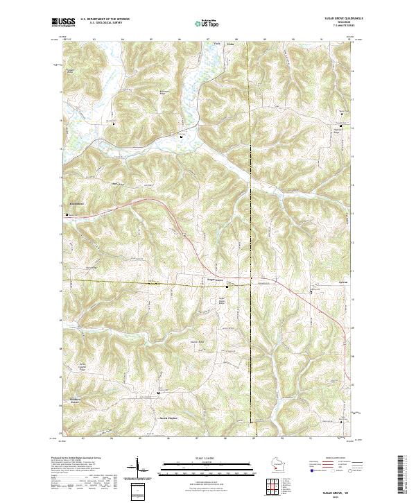 2022 Sugar Grove2022 Print · USGSThe Driftless Area of Vernon and Richland counties is shown here in detail, focusing on the high ridges and deep river valleys of southwestern Wisconsin. Genealogists can locate several family and community burial grounds, including Sugar Grove Cem, Hopewell Cem, and Saint Peters Cem.
 - 2022 Map of La Farge, 2022 Print
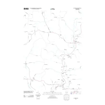
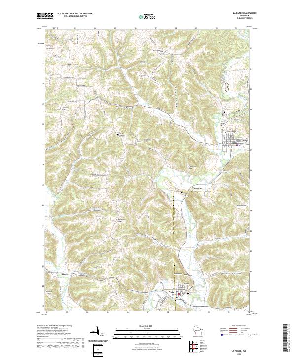 2022 La Farge2022 Print · USGSThe Kickapoo River valley in the early twenty-first century remains a landscape of high ridges and deep hollows. Trace local family history through rural landmarks like Mount Zion Cem, Star Cem, and the river settlements of La Farge and Viola.
End of results
Showing maps 1-22 of 22
Top cities near Viola
- Viroqua historical maps
- Westby historical maps
- Cashton historical maps
- La Farge historical maps
- Soldiers Grove historical maps
- Gays Mills historical maps
See more
Frequently asked questions
- What are the different types of historical maps available for Viola?
- What is the oldest map of Viola?
- Where can I purchase historical maps of Viola for my home or office?
- Where can I download high-res historical maps of Viola?
- Are there historical topographic maps available for Viola?
- Is there historical aerial imagery available for Viola?
- Where are historical maps of Viola sourced from?