Old Maps of Casey, Wisconsin
Explore 26 old maps of Casey, spanning from 1948 to today. These high-resolution historic maps reveal how streets, neighborhoods, landmarks, and natural features evolved over time — perfect for genealogy, metal detecting, research, and local history exploration.
What you can do with these maps:
- See how Casey changed over time: Compare historical maps to modern-day views to trace roads, homesites, rail lines & more.
- View detailed metadata: Each map includes creators, publishers, year, scale, and archive source.
- Overlay maps with satellite & LiDAR: Visualize the past alongside modern tools to explore terrain & human change.
- Trusted historical sources: Maps sourced from the USGS, Library of Congress, and other archives.
- Access maps your way: View online, download high-res files, or order prints for personal or research use.
Start exploring old maps of Casey to uncover forgotten places, hidden landmarks, and the deep history beneath your feet.
Casey, WI maps
(26)- 1948 Map of Spooner, 1955 Print
 1948 Spooner1955 Print · USGSWashburn County in the late 1940s was a landscape of Northwoods river valleys and emerging railroad towns. You can trace the rural network of schools and cemeteries, from Anah Cemetery to Julia Sch, or follow the Chicago and North Western tracks.
 - 1949 Map of Hertel
 1949 Hertel1949 Print · USGSThe lakeside communities and rural school districts of northern Wisconsin are frozen in time here in the late forties. Researchers can trace family roots through numerous local sites like Sacred Heart Ch, Hertel, and the Bashaw Brook School.
 - 1949 Map of Spooner
 1949 Spooner1949 Print · USGSWashburn County in the late 1940s reveals a transition from a rail-dependent frontier to a motorized agricultural and recreational region. Genealogists and historians can locate dozens of country schools like Tadpole Sch and burial grounds such as Anah Cemetery.
 - 1953 Map of Rice Lake, 1967 Print
 1953 Rice Lake1967 Print · USGSNorthwest Wisconsin during the mid-fifties reveals a landscape defined by timber, rail, and water. Genealogists and historians can trace the development of river towns like Ladysmith and Rice Lake along the Soo Line and Chicago and North Western railroads.2 unique versions available
 - 1953 Map of Stillwater, 1980 Print
 1953 Stillwater1980 Print · USGSThe Twin Cities and the St. Croix Valley are captured in this mid-century survey as the interstate era began to transform the Upper Midwest. Genealogists and historians can trace the rail-and-river geography of Stillwater, locate landmarks in Anoka, or explore the sprawling St Croix State Park.
 - 1955 Map of Hertel, 1957 Print
 1955 Hertel1957 Print · USGSNorthwest Wisconsin lakeland is captured here in the mid-fifties, centered on the community of Hertel. Researchers can pinpoint vanished rural institutions like Bashaw Brook Sch, North Dewey Sch, and the McKenzie Lake Lookout Tower.2 unique versions available
 - 1955 Map of Stillwater, 1965 Print
 1955 Stillwater1965 Print · USGSThe Upper St. Croix Valley and the growing Twin Cities area are shown here during the mid-fifties, before the interstate era transformed the regional commute. You can trace the lines of the Northern Pacific RR through towns like Rush City or locate the Saint Croix Indian Reservation.
 - 1958 Map of Stillwater
 1958 Stillwater1958 Print · USGSThe Upper Mississippi and St. Croix River valleys appear in the mid-fifties as the Twin Cities expanded north. Genealogists can locate family landmarks like Oak Park Cem, Saint Michael Church, and the Soo Line RR rail corridors.2 unique versions available
 - 1959 Map of Rice Lake
 1959 Rice Lake1959 Print · USGSNorthwest Wisconsin in the late fifties was a land of expanding road networks and deep-seated timber history. Genealogists and historians can trace rail lines like the Soo Line RR and Chicago St Paul Minneapolis and Omaha Ry as they link settlements from Spooner to Medford.
 - 1965 Map of Stillwater
 1965 Stillwater1965 Print · USGSThe Twin Cities and the St. Croix Valley are mapped here during a period of significant post-war growth and industrial transit. Genealogists and historians can trace rail lines like the Northern Pacific RR through towns such as Rush City, Amery, and Balsam Lake.
 - 1965 Map of Spooner, 1967 Print
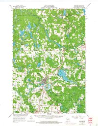 1965 Spooner1967 Print · USGSWashburn County's lakelands and rail corridors are frozen in time during the mid-sixties, centered on the bustling junction at Spooner. Researchers can trace the Chicago and North Western tracks to remote stops like Lampson, find the Evergreen Cem, or locate the old Schulz-Spooner School.
 - 1975 Map of Stillwater
 1975 Stillwater1975 Print · USGSThe Twin Cities and the St. Croix Valley are captured in the mid-seventies, showing the urban growth of Minneapolis and St Paul. Researchers can trace old rail corridors of the Northern Pacific RR and locate tribal lands at the Mille Lacs Indian Reservation.2 unique versions available
 - 1980 Map of Spooner
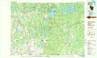 1980 Spooner1980 Print · USGSNorthwestern Wisconsin at the dawn of the eighties reveals a landscape of deep forests and transitioning rail corridors. Genealogists and historians can trace lakefront settlements like Spooner and Birchwood or follow the early Tuscobia-Park Falls State Trail.
 - 1982 Map of Dunn Lake, 1983 Print
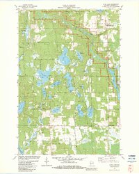 1982 Dunn Lake1983 Print · USGSNorthwestern Wisconsin’s glaciated lake country is captured here in the early 1980s, centered on the wild Namekagon River. Researchers can locate family landmarks like Rosewood Cem or trace the rural character of Tadpole Corners and Trego Lake.
 - 1982 Map of Mc Kenzie Lake, 1983 Print
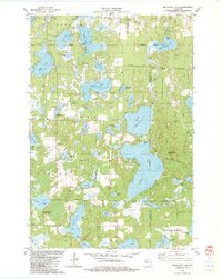 1982 Mc Kenzie Lake1983 Print · USGSThe lake country of northwest Wisconsin comes alive in the early eighties, showcasing a landscape of dense woods and glacial basins. Genealogists and local historians can locate the Sacred Hearts Cem, the McKenzie Lake Lookout Tower, and the St Croix Indian Reservation.
 - 1985 Map of Grantsburg
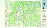 1985 Grantsburg1985 Print · USGSThe river borderlands of Minnesota and Wisconsin come alive in the mid-1980s, showcasing the intricate water networks and forest preserves of Burnett and Pine counties. Trace the rail lines of the Soo Line or find rural landmarks like Trade Lake Ch and Hildas Corner.2 unique versions available
 - 2010 Map of McKenzie Lake, 2010 Print
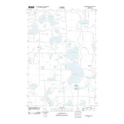 2010 McKenzie Lake2010 Print · USGSWisconsin's lake country is detailed here during the early twenty-first century, showing a landscape defined by glacial waters and cranberry production. Researchers can locate Sacred Hearts Cemetery, the McKenzie Lake Lookout Tower, and the dams of the South Midwest Cranberry Company WP99 Dam.
 - 2010 Map of Dunn Lake, 2010 Print
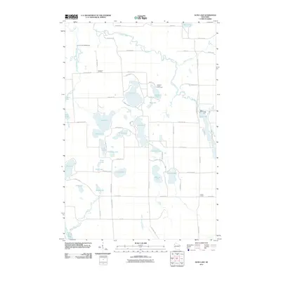 2010 Dunn Lake2010 Print · USGSWashburn County in the early twenty-first century remains a landscape of glacial lakes and quiet river bends along the Namekagon River. Genealogists and local historians can locate the Rosewood Cemetery and trace rural junctions like Tadpole Corners.
 - 2013 Map of Dunn Lake, 2013 Print
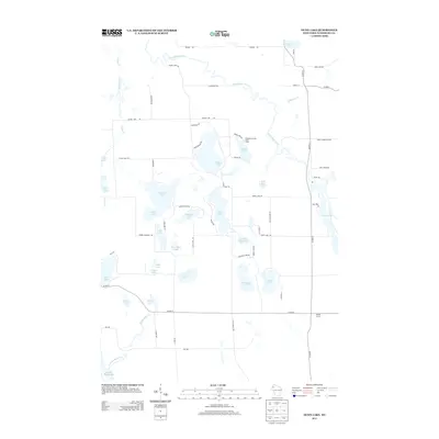 2013 Dunn Lake2013 Print · USGSThe northern Wisconsin lake country comes into focus in this modern era, centered on the glacial basins of Dunn Lake and the Namekagon River. Researchers can trace local landmarks like Tadpole Corners, the Washburn County Youth Camp, and the historic Pierce Homestead RD.
 - 2013 Map of McKenzie Lake, 2013 Print
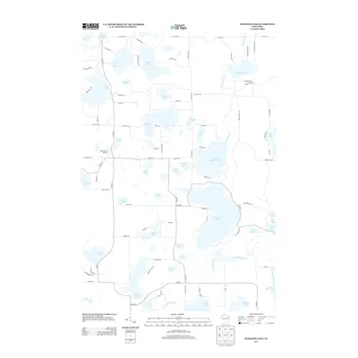 2013 McKenzie Lake2013 Print · USGSBurnett County’s lake country is captured here during the early twenty-first century, showing a landscape defined by glacial waters and rural retreats. Researchers can trace shoreline developments and landmarks like the Alpha Hotel Airport, McKenzie Lake, and Nicaboyne Lake.
 - 2015 Map of McKenzie Lake, 2015 Print
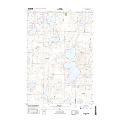 2015 McKenzie Lake2015 Print · USGSNorthwestern Wisconsin’s lake country is captured here during the mid-2010s, showing a landscape defined by its glacial waters and wood-lot roads. Genealogists and locals can trace landmarks like the Sacred Hearts Cem or the vicinity of the Alpha Hotel.
 - 2015 Map of Dunn Lake, 2015 Print
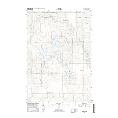 2015 Dunn Lake2015 Print · USGSWashburn County's lake country is captured here during the mid-2010s, showing a landscape of interconnected waterways and rural homesteads. Genealogists and local historians can trace family locations along Pierce Homestd Rd or visit the Rosewood Cem near Island Lake.
 - 2018 Map of McKenzie Lake, 2018 Print
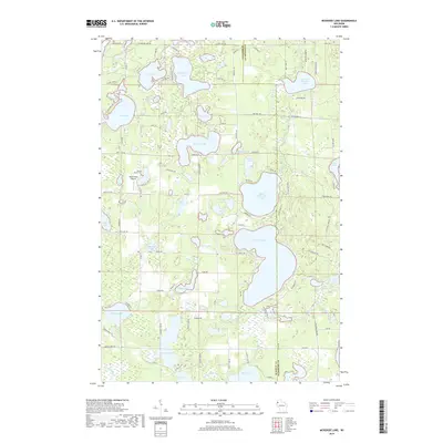 2018 McKenzie Lake2018 Print · USGSThe glacial lake country of Burnett and Washburn Counties is captured here in the late 2010s. Researchers can trace lakeshore developments near McKenzie Lake or locate the Sacred Hearts Cem and Alpha Hotel Airport.
 - 2019 Map of Dunn Lake, 2019 Print
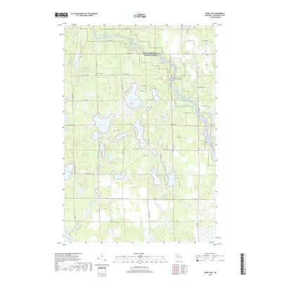 2019 Dunn Lake2019 Print · USGSWashburn County's lake-dotted landscape is captured here in the contemporary era, highlighting the protected waters of the Saint Croix National Scenic Riverway. Genealogists and local historians can locate Rosewood Cem and trace the rural paths connecting Dunn Lake to Lincoln Lake.
 - 2022 Map of McKenzie Lake, 2022 Print
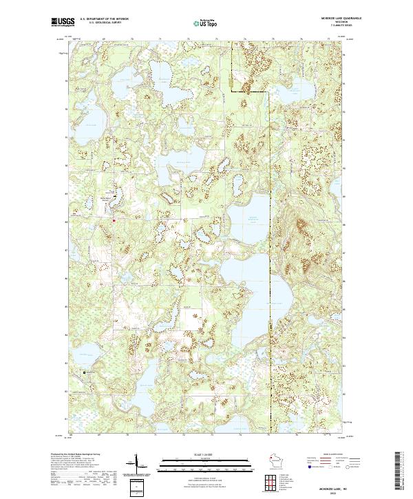 2022 McKenzie Lake2022 Print · USGSThe lake-strewn border of Burnett and Washburn counties is captured here in the early twenty-first century, showing a landscape defined by water and woods. Genealogists and local historians can locate Sacred Hearts Cem, Gaslyn Cem, and the Alpha Hotel Airport near McKenzie Lake.
Showing maps 1-25 of 26
Top cities near Casey
- Spooner historical maps
- Shell Lake historical maps
- Trego historical maps
- Wascott historical maps
- Beaver Brook historical maps
- Minong historical maps
See more
Frequently asked questions
- What are the different types of historical maps available for Casey?
- What is the oldest map of Casey?
- Where can I purchase historical maps of Casey for my home or office?
- Where can I download high-res historical maps of Casey?
- Are there historical topographic maps available for Casey?
- Is there historical aerial imagery available for Casey?
- Where are historical maps of Casey sourced from?