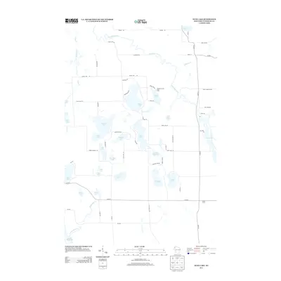
2013 Map of Dunn Lake
USGS Topo · Published 2013About this map
The Namekagon River winds through the northern landscape of this Wisconsin interior, defining a region dense with glacial lakes and timbered tracts. The shoreline of Trego Lake occupies the eastern edge, while the central territory is dominated by the connected waters of Dunn Lake, Casey Lake, and Loon Lake. The map reveals a land utilized for both recreation and residence, featuring the Washburn County Youth Camp near Leisure Lake and various named thoroughfares like Pierce Homestead RD that hint at local family legacies. At Tadpole Corners in the southeast, the intersection of Co HWY-E and Co HWY-K marks a rare point of named concentration in an otherwise dispersed network of local roads and remote spring-fed basins such as Boyle Brook Spring.
Find a feature on this map
69 named features on this map. Tap any name to fly to it.
Don’t see what you’re looking for? This feature index may not catch every label — zoom into the map to look around manually.
Map Details
Editions of this 2013 Dunn Lake Map
This is the sole edition of this map. No revisions or reprints were ever made.
Other maps of this area

1947 · Minong
USGS Topo · 1:48,000

1948 · Spooner
USGS Topo · 1:48,000

1949 · Hertel
USGS Topo · 1:48,000

1949 · Minong
USGS Topo · 1:48,000

1949 · Webb Lake
USGS Topo · 1:48,000

1949 · Spooner
USGS Topo · 1:48,000

1953 · Ashland
USGS Topo · 1:250,000

1953 · Duluth
USGS Topo · 1:250,000

1953 · Rice Lake
USGS Topo · 1:250,000

1953 · Stillwater
USGS Topo · 1:250,000