Old Maps of West Bend, Wisconsin for Academic Research
Study the evolution of West Bend with 24 high-resolution historic maps. Whether you're teaching, researching, or modeling changes in land use, these maps provide essential visual documentation of urban, environmental, and geographic change.
- Analyze long-term change: Track patterns in development, transportation, and natural features.
- Ideal for environmental or urban studies: Support academic projects with primary historical map data.
- Use in the classroom or lab: Educators and researchers rely on these maps to bring historical context to life.
These maps are a powerful tool for teaching, research, and visualizing how West Bend has changed over the decades.
West Bend, WI maps
(24)- 1904 Map of West Bend
 1904 West Bend1904 Print · USGSWashington County at the turn of the century was a landscape of thriving river towns and vital rail corridors. Genealogists and local historians can trace the early footprints of West Bend and Barton, or locate smaller rural junctions like Kirchhayn and Rockfield.3 unique versions available
 - 1957 Map of Madison, 1967 Print
 1957 Madison1967 Print · USGSSouth-central Wisconsin in the mid-fifties reveals a landscape of industrial hubs and glacial lakes linked by a dense rail and highway network. Genealogists and historians can trace the development of lakeside communities and find notable sites like Badger Ordnance Works and the Horicon National Wildlife Refuge.3 unique versions available
 - 1959 Map of West Bend, 1960 Print
 1959 West Bend1960 Print · USGSWashington and Ozaukee counties are shown here in the late fifties, as the Milwaukee River corridor supported both industry and recreation. Trace local history through family-named landmarks like Last Home Cem and rail hubs at Rugby Junction.
 - 1959 Map of Newburg, 1964 Print
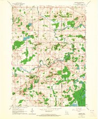 1959 Newburg1964 Print · USGSThe river valleys of Washington and Ozaukee counties are captured here in the late fifties, showing a rural landscape defined by parish life and the Milwaukee River. Genealogists can trace family roots through sites like St Finbars Ch, Myra, and the extensive Cedarburg Bog.4 unique versions available
 - 1959 Map of Jackson, 1964 Print
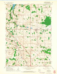 1959 Jackson1964 Print · USGSWashington County in the late fifties is a landscape of rail junctions and rural hamlets. Trace the rail paths through Rugby Junction or locate old community hubs like Dheinsville, Friedens Ch, and Highway View Sch.4 unique versions available
 - 1959 Map of West Bend, 1964 Print
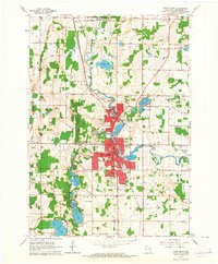 1959 West Bend1964 Print · USGSWest Bend and the Milwaukee River valley are captured here in the late fifties as the city expands toward Barton. Researchers can locate family landmarks like Orchard Grove, Union Cem, and schools such as Silver Maple Sch or Oak Knoll Sch.4 unique versions available
 - 1960 Map of Madison
 1960 Madison1960 Print · USGSCentral and Southern Wisconsin are captured in the late fifties, showing the region as its rail-and-river network matured. Trace the paths of the Soo Line RR or locate family roots near Lake Mendota and Horicon National Wildlife Refuge.2 unique versions available
 - 1984 Map of Oconomowoc, 1985 Print
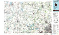 1984 Oconomowoc1985 Print · USGSSoutheast Wisconsin in the mid-eighties shows a landscape defined by its glacial heritage and expanding metropolitan corridors. Genealogists and historians can trace the development of lakeside communities like Oconomowoc and Pewaukee, or find established settlements such as Watertown and Beaver Dam.
 - 1991 Map of Oconomowoc
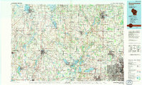 1991 Oconomowoc1991 Print · USGSSoutheastern Wisconsin in the early nineties shows a landscape of glacial lakes and growing suburbs. Trace local history through Aztalan State Park, Carroll College, and the sprawling Horicon Marsh State Wildlife Area.
 - 2010 Map of Jackson, 2010 Print
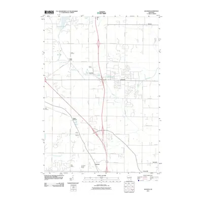 2010 Jackson2010 Print · USGSWashington County in the early twenty-first century reveals a dense network of historic hamlets and modern transit corridors. Researchers can trace family roots through numerous sites like Maxon Cemetery or locate old rail hubs at Rugby Junction and Rockfield.
 - 2010 Map of West Bend, 2010 Print
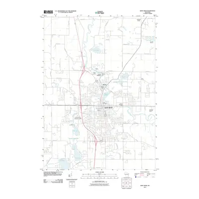 2010 West Bend2010 Print · USGSWest Bend and its surrounding lake country are shown here in the early twenty-first century, highlighting a landscape shaped by the Milwaukee River. Trace local history through the many industrial dam sites like the Woolen Mill WP95 Dam or burial records at Union Cemetery and Trenton Cemetery.
 - 2010 Map of Newburg, 2010 Print
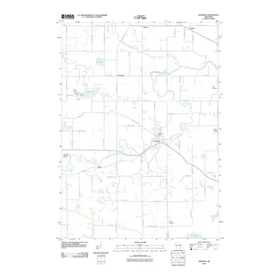 2010 Newburg2010 Print · USGSWisconsin's Washington County landscape appears here as a blend of rural hamlets and river-driven settlements in the early 2000s. Genealogists and local historians can locate Saint Finbars Cemetery, the historic crossroads of Cheeseville, and the Newburg Dam along the Milwaukee River.
 - 2013 Map of Newburg, 2013 Print
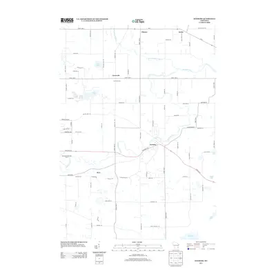 2013 Newburg2013 Print · USGSWisconsin's dairy country and river valleys are captured here in the early twenty-first century, showing the established communities and infrastructure of Washington County. Local historians can trace the landscapes of Newburg, Cheeseville Dairy, and the West Bend Municipal Airport.
 - 2013 Map of Jackson, 2013 Print
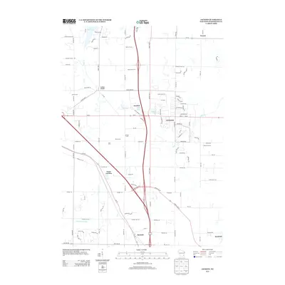 2013 Jackson2013 Print · USGSThe Washington County landscape near Jackson is shown in detail during a period of modern growth and rural preservation. Genealogists and historians can trace family landholdings such as Merten Farms or locate the early hubs of Rugby Junction and Mayfield.
 - 2013 Map of West Bend, 2013 Print
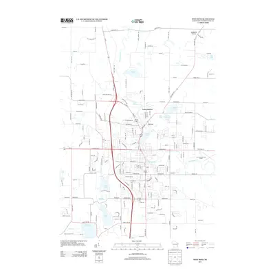 2013 West Bend2013 Print · USGSWest Bend and its historic riverfront neighborhoods are shown in this 2013 survey of Washington County. Genealogists and hikers can trace the Ice Age Natl Scenic Trl as it passes near Young America, Barton, and the shores of Silver Lake.
 - 2015 Map of West Bend, 2015 Print
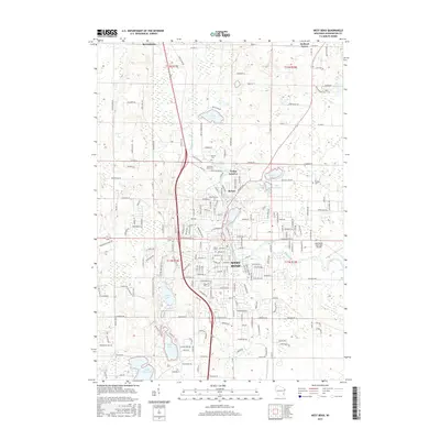 2015 West Bend2015 Print · USGSWest Bend and the Milwaukee River corridor are shown here in the mid-2010s, capturing the balance of city growth and glacial lakeside living. Researchers can find many family landmarks, from Newark Cem to the early river settlements of Barton and Young America.
 - 2015 Map of Newburg, 2015 Print
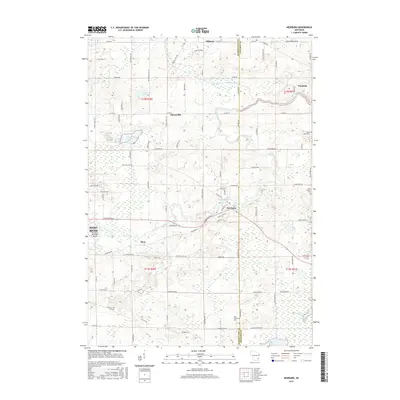 2015 Newburg2015 Print · USGSThe rural border of Washington and Ozaukee Counties comes into focus in the mid-2010s, where the winding Milwaukee River connects historic crossroads. Genealogists and historians can trace family roots through Saint Johns Cemetery or explore the geography of Cheeseville and the Cedarburg Bog.
 - 2015 Map of Jackson, 2015 Print
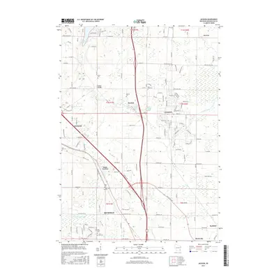 2015 Jackson2015 Print · USGSWashington County during the early twenty-first century maintains its character through a mix of established villages and quiet crossroads. Researchers can locate several burial sites and historic points of interest like Maxon Cem, Dheinsville, and Rugby Junction.
 - 2018 Map of Newburg, 2018 Print
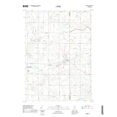 2018 Newburg2018 Print · USGSThe village of Newburg and the winding Milwaukee River are captured here in the late twenty-teens, along the Washington and Ozaukee county line. Genealogists can trace family roots through several local landmarks like Saint Augustine Cem, Myra, and Fillmore.
 - 2018 Map of West Bend, 2018 Print
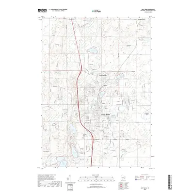 2018 West Bend2018 Print · USGSWest Bend and the Kettle Moraine are documented here during a period of sustained regional growth. Genealogists and local historians can trace family locations near Old Saint Marys Cem, the historical village of Young America, or along the banks of the Milwaukee River.
 - 2018 Map of Jackson, 2018 Print
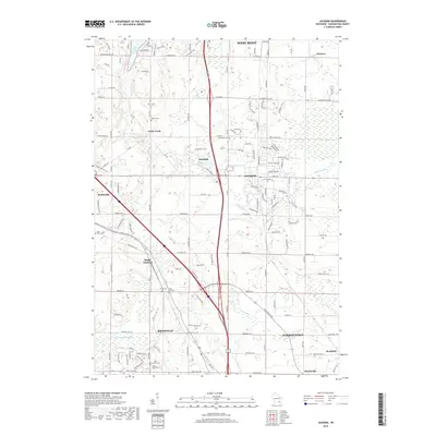 2018 Jackson2018 Print · USGSWashington County in the late twenty-tens reveals a landscape of growing communities and preserved local heritage. Genealogists and researchers can pinpoint numerous historic burial sites like Mayfield Cem or trace the development around Rugby Junction and Mayfield.
 - 2022 Map of West Bend, 2022 Print
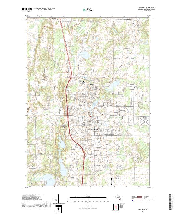 2022 West Bend2022 Print · USGSModern-day Washington County comes into focus as the glacial terrain of the Kettle Moraine meets the historic riverfronts of West Bend and Barton. Researchers can trace local heritage at Holy Angels Cem and the University of Wisconsin - Washington County.
 - 2022 Map of Newburg, 2022 Print
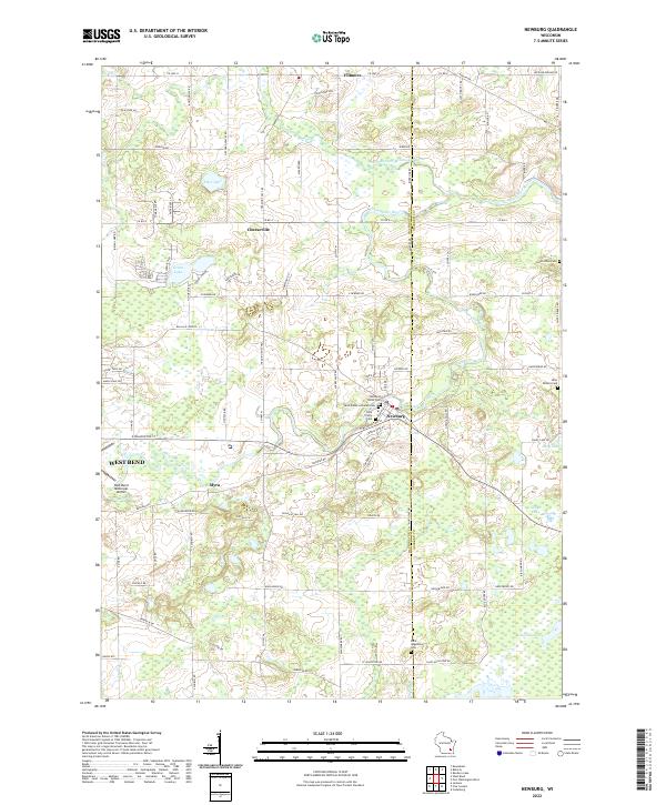 2022 Newburg2022 Print · USGSThe Milwaukee River valley in eastern Wisconsin comes alive in this 2022 survey, showing the interconnected rural communities of Washington and Ozaukee Counties. Researchers can trace local lineage through numerous sites like Newburg Union Cem, the Cedarburg Bog, and the settlement of Cheeseville.
 - 2022 Map of Jackson, 2022 Print
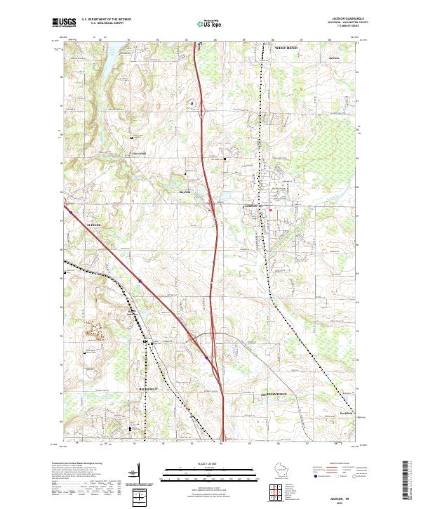 2022 Jackson2022 Print · USGSSoutheast Wisconsin in the twenty-first century remains a landscape where historic crossroads like Rugby Junction and Mayfield intersect with modern growth. Researchers can trace local heritage through several burial sites including Ackerville Cem and Last Home Cem.
End of results
Showing maps 1-24 of 24
Top cities near West Bend
- Milwaukee historical maps
- Menomonee Falls historical maps
- Mequon historical maps
- Germantown historical maps
- Hartford historical maps
- Brown Deer historical maps
See more
Top neighborhoods of West Bend
Frequently asked questions
- What are the different types of historical maps available for West Bend?
- What is the oldest map of West Bend?
- Where can I purchase historical maps of West Bend for my home or office?
- Where can I download high-res historical maps of West Bend?
- Are there historical topographic maps available for West Bend?
- Is there historical aerial imagery available for West Bend?
- Where are historical maps of West Bend sourced from?