Old Maps of Bear Creek, Wisconsin for Academic Research
Study the evolution of Bear Creek with 17 high-resolution historic maps. Whether you're teaching, researching, or modeling changes in land use, these maps provide essential visual documentation of urban, environmental, and geographic change.
- Analyze long-term change: Track patterns in development, transportation, and natural features.
- Ideal for environmental or urban studies: Support academic projects with primary historical map data.
- Use in the classroom or lab: Educators and researchers rely on these maps to bring historical context to life.
These maps are a powerful tool for teaching, research, and visualizing how Bear Creek has changed over the decades.
Bear Creek, WI maps
(17)- 1955 Map of Embarrass, 1957 Print
 1955 Embarrass1957 Print · USGSIn the mid-1950s, this pocket of Wisconsin was a landscape of dairy townships and evolving rural education. Genealogists can trace family roots through numerous sites like St John Ch, the Danish Cem, and many schoolhouses marked abandoned including Riverbank Sch.2 unique versions available
 - 1955 Map of Clintonville, 1957 Print
 1955 Clintonville1957 Print · USGSClintonville and Marion are shown at a peak of rail-era development in the mid-1950s. Genealogists can trace family roots through numerous rural landmarks like Graceland Cem, the Danish Cem, and one-room schoolhouses such as Sunrise Sch.2 unique versions available
 - 1955 Map of Green Bay, 1968 Print
 1955 Green Bay1968 Print · USGSCentral and Eastern Wisconsin are captured here in the mid-fifties, showing the industrial growth of the Fox Valley and Wisconsin River corridors. Genealogists and historians can trace rail lines like the Green Bay and Western through settlements like Weyauwega, Clintonville, and Pulaski.2 unique versions available
 - 1969 Map of Bear Creek, 1971 Print
 1969 Bear Creek1971 Print · USGSWaupaca and Outagamie Counties in the late sixties were defined by the winding Embarrass River and the rural rail corridor. Genealogists and local historians can trace the town centers of Clintonville and Bear Creek, find rural burial sites like Danish Cem, and locate the Chicago and North Western tracks.
 - 1970 Map of Clintonville South, 1973 Print
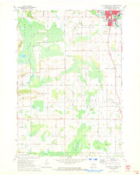 1970 Clintonville South1973 Print · USGSWaupaca County's rural townships and the southern edge of Clintonville are documented here in the early 1970s. Trace family land near Marble Cem, find local landmarks like St Martin Sch, and follow the old CHICAGO AND NORTH WESTERN rail line.
 - 1984 Map of Shawano, 1985 Print
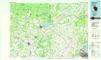 1984 Shawano1985 Print · USGSNortheast Wisconsin in the mid-1980s was a landscape defined by its indigenous heritage and the bustling trade centers of the Fox and Wolf River valleys. Genealogists and historians can trace rail corridors like the Chicago and North Western or locate family sites near Keshena, Cecil, and the Fort Howard Cem.2 unique versions available
 - 1993 Map of Clintonville South, 1995 Print
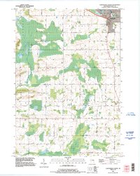 1993 Clintonville South1995 Print · USGSClintonville and its southern rural townships are captured in the early nineties, showing a landscape defined by traditional rail corridors and meandering river systems. Genealogists can locate family-named landmarks and several historic burial sites, including Graceland Cem and Townline Cem, while tracing the course of Bear Creek.
 - 2010 Map of Bear Creek, 2010 Print
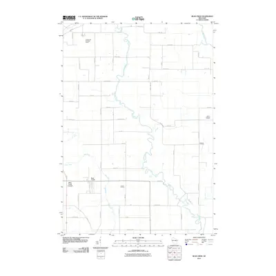 2010 Bear Creek2010 Print · USGSNear the turn of the decade, this corner of Waupaca County remains a landscape defined by its winding waterways and rural crossroads. Genealogists and local historians can trace family ties at the Danish Cemetery or explore the settlements of Bear Creek and Bear Creek Corners.
 - 2010 Map of Clintonville South, 2010 Print
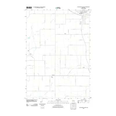 2010 Clintonville South2010 Print · USGSClintonville and its southern rural surrounds are documented here at the start of the decade, showing a landscape of scattered farms and family cemeteries. Researchers can locate the Clintonville Post Office or trace ancestral sites at Graceland Cemetery, Marble Cemetery, and Nicholson.
 - 2013 Map of Bear Creek, 2013 Print
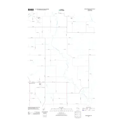 2013 Bear Creek2013 Print · USGSWaupaca County's river valleys and rural crossroads are captured here during the early twenty-first century. Researchers can trace the development of Bear Creek Corners and Bear Creek or locate regional landmarks like Clintonville Municipal Airport and the Embarrass River.
 - 2013 Map of Clintonville South, 2013 Print
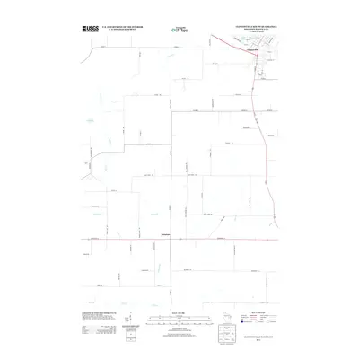 2013 Clintonville South2013 Print · USGSWaupaca County's dairy heartland is documented here in the early twenty-first century, centered on the southern reaches of Clintonville. Local historians can trace family land along Kutchenriter Rd or locate the rural crossroads at Nicholson and Maple Grove Farm.
 - 2016 Map of Bear Creek, 2016 Print
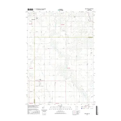 2016 Bear Creek2016 Print · USGSWaupaca and Outagamie counties are captured here in the mid-2010s, showing the rural landscapes surrounding the Embarrass River. Researchers can locate local burial sites like Danish Cem and trace the proximity of Clintonville to the Clintonville Municipal Airport.
 - 2016 Map of Clintonville South, 2016 Print
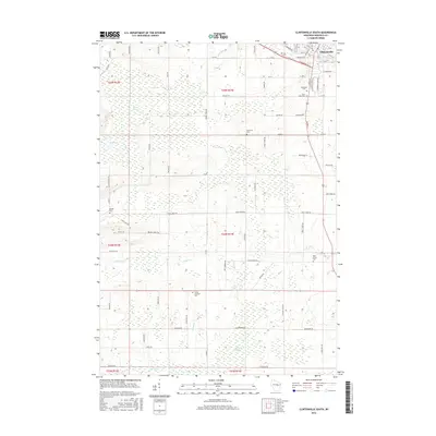 2016 Clintonville South2016 Print · USGSClintonville and its southern rural townships are captured here in the mid-2010s, showing a landscape of small farms and extensive wetlands. Genealogists can locate several local burial sites like Saint Rose Cem, Townline Cem, and Bear Creek Cem.
 - 2018 Map of Clintonville South, 2018 Print
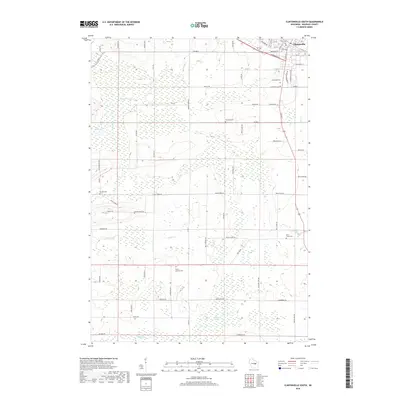 2018 Clintonville South2018 Print · USGSClintonville and its rural surroundings are captured in this 2018 survey, showing a landscape of farms and wetlands. Genealogists can trace family connections at Graceland Cem, Saint Rose Cem, and Trinity Lutheran Cem along the Pigeon River.
 - 2018 Map of Bear Creek, 2018 Print
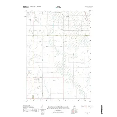 2018 Bear Creek2018 Print · USGSThis late-decade survey covers the border of Outagamie and Waupaca Counties during a period of steady rural continuity. Genealogists can trace family footprints near the Danish Cem, Restland Cem, and along the banks of the Embarrass River.
 - 2022 Map of Clintonville South, 2022 Print
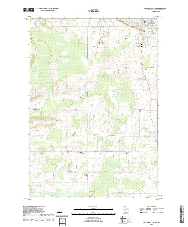 2022 Clintonville South2022 Print · USGSThe southern outskirts of Clintonville and the rural townships of Waupaca County come into focus in this contemporary survey of Central Wisconsin. Researchers can locate several burial grounds and landmarks, including Graceland Cem, Blueberry Marsh, and Trinity Lutheran Cem.
 - 2022 Map of Bear Creek, 2022 Print
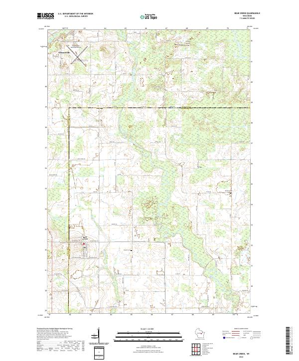 2022 Bear Creek2022 Print · USGSThe Waupaca and Outagamie county line comes alive in this contemporary survey, showing the rural communities along the Embarrass River. Genealogists and researchers can locate the Danish Cem, Restland Cem, and the streets of Bear Creek as they appear today.
End of results
Showing maps 1-17 of 17
Top cities near Bear Creek
- Greenville historical maps
- Shawano historical maps
- New London historical maps
- Waupaca historical maps
- Clintonville historical maps
- Hortonville historical maps
See more
Top neighborhoods of Bear Creek
Frequently asked questions
- What are the different types of historical maps available for Bear Creek?
- What is the oldest map of Bear Creek?
- Where can I purchase historical maps of Bear Creek for my home or office?
- Where can I download high-res historical maps of Bear Creek?
- Are there historical topographic maps available for Bear Creek?
- Is there historical aerial imagery available for Bear Creek?
- Where are historical maps of Bear Creek sourced from?