Old Maps of Nepeuskum, Wisconsin for Hiking & Exploration
Hike through history with 18 historic maps of Nepeuskum. Explore old trails, ghost towns, and forgotten backroads — perfect for outdoor adventurers and local explorers.
- Rediscover forgotten places: Map out old mining camps, roads, and footpaths that no longer exist on modern maps.
- Layer with modern tools: Combine with LiDAR or satellite views to plan hikes through historical terrain.
- Made for exploration: Popular among hikers, overlanders, and local history lovers.
Use these maps to find adventure and explore the hidden past of Nepeuskum.
Nepeuskum, WI maps
(18)- 1916 Map of Ripon
 1916 Ripon1916 Print · USGSWisconsin’s Fox River Valley and the lakelands of Fond du Lac and Winnebago counties are captured here just before the close of the Great War. Genealogists can trace family roots through dozens of rural landmarks, from Center House to Fera School and the Eureka Lock.
 - 1918 Map of Ripon
 1918 Ripon1918 Print · USGSFond du Lac and Green Lake counties are shown here at the end of the Great War, when the rail lines still dictated the pace of commerce. Researchers can trace the early boundaries of Berlin and Ripon or locate rural landmarks like the Arcade School and Koro.
 - 1956 Map of Ripon, 1957 Print
 1956 Ripon1957 Print · USGSRipon and the surrounding Wisconsin lakelands are shown in the mid-fifties as the region's rail and agricultural patterns remained firmly intact. Researchers can locate numerous rural schoolhouses like Prairie Lawn Sch and trace the legacy of Ripon College or the historic settlement of Sacramento.
 - 1957 Map of Madison, 1967 Print
 1957 Madison1967 Print · USGSSouth-central Wisconsin in the mid-fifties reveals a landscape of industrial hubs and glacial lakes linked by a dense rail and highway network. Genealogists and historians can trace the development of lakeside communities and find notable sites like Badger Ordnance Works and the Horicon National Wildlife Refuge.3 unique versions available
 - 1960 Map of Madison
 1960 Madison1960 Print · USGSCentral and Southern Wisconsin are captured in the late fifties, showing the region as its rail-and-river network matured. Trace the paths of the Soo Line RR or locate family roots near Lake Mendota and Horicon National Wildlife Refuge.2 unique versions available
 - 1980 Map of Fond Du Lac
 1980 Fond Du Lac1980 Print · USGSThe Fox River Valley and Horicon Marsh meet here during the late twentieth century, showing a transition from lakeside industry to glacial conservation. Genealogists can locate family sites at Estabrook Cem or trace the rail lines through Ripon and Waupun.
 - 1980 Map of Rush Lake, 1981 Print
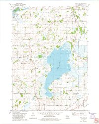 1980 Rush Lake1981 Print · USGSWinnebago County in the late seventies and early eighties shows a landscape of glacial lakes and quiet crossroads. Genealogists and local historians can trace family roots through several rural burial grounds like Nepeuskun Cem and Loper Cem.
 - 1980 Map of Berlin, 1981 Print
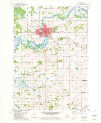 1980 Berlin1981 Print · USGSThe Fox River valley in Green Lake County appears here during the early eighties, centered on the historic city of Berlin. Researchers can trace family sites among several country churches and cemeteries, including St Stanislaus Cem, or locate rural schools like Lamberton Sch.
 - 2010 Map of Rush Lake, 2010 Print
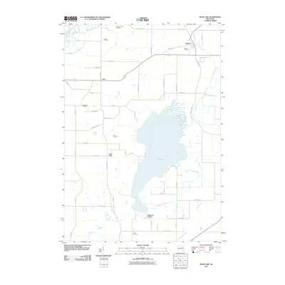 2010 Rush Lake2010 Print · USGSWinnebago County remains a patchwork of established farmsteads and wetlands in this early twenty-first century study. Family historians can trace ancestral locations near Waukau Cemetery, Krebs Cemetery, or the lakeside community of Wilmoore Heights.
 - 2010 Map of Berlin, 2010 Print
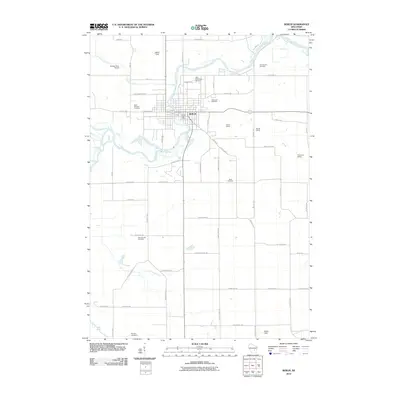 2010 Berlin2010 Print · USGSBerlin and its surroundings are documented at the start of the 2010s, centered on the Fox River corridor. Genealogists and local historians can trace legacy burial sites like Saint Michaels Cemetery and rail landmarks including Traugoots Siding.
 - 2013 Map of Rush Lake, 2013 Print
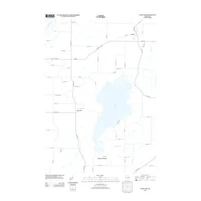 2013 Rush Lake2013 Print · USGSWinnebago County at the start of the decade reveals a landscape defined by water and farm-to-market roads. Genealogists and historians can trace family-named routes and small communities like Waukau, Koro, and the developments at Wilmoore Heights.
 - 2013 Map of Berlin, 2013 Print
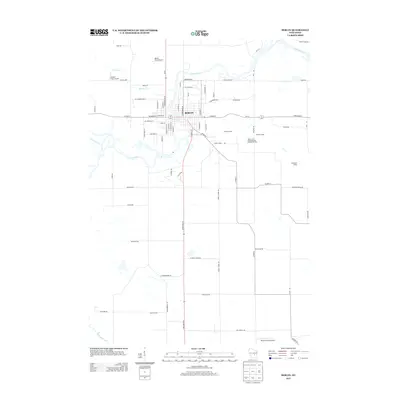 2013 Berlin2013 Print · USGSBerlin sits along the winding Fox River in the early twenty-first century, showing a landscape defined by small-town grid streets and rural aviation. Researchers can trace local rail and industrial history through features like Gelhar Siding and Bennett Field Airport.
 - 2015 Map of Berlin, 2015 Print
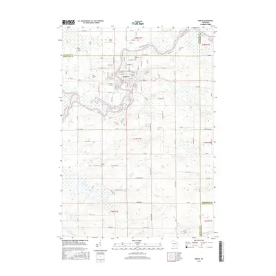 2015 Berlin2015 Print · USGSBerlin and the surrounding riverlands are captured here in the mid-2010s, showing the intersection of three counties along the Fox River. Researchers can trace local heritage across several legacy sites, from Oakwood Cem and Bush Cem to the settlement of Sacramento.
 - 2015 Map of Rush Lake, 2015 Print
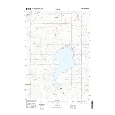 2015 Rush Lake2015 Print · USGSWinnebago and Fond du Lac counties appear here during the mid-2010s, centered on the significant wetlands surrounding Rush Lake. Researchers can locate several historic burial sites like Nepeuskun Cem and Krebs Cem, or trace the rural routes between Waukau and Koro.
 - 2018 Map of Berlin, 2018 Print
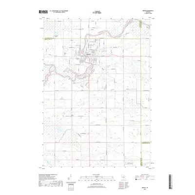 2018 Berlin2018 Print · USGSThe Fox River valley in the late 2010s reveals a landscape where historic riverfront industry meets sprawling rural cemeteries. Genealogists can trace family names at Saint Stanislaus Cem or Oakwood Cem, while explorers find old flight paths at Broken Prop Airport.
 - 2018 Map of Rush Lake, 2018 Print
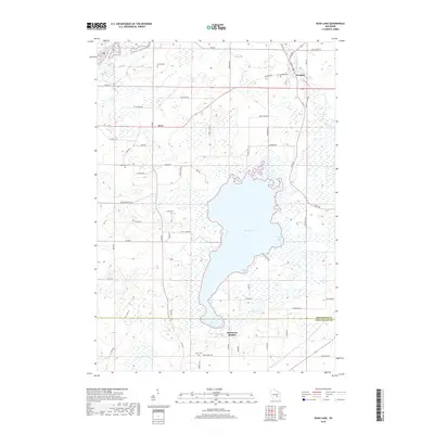 2018 Rush Lake2018 Print · USGSWinnebago County farm country and the sprawling wetlands of Rush Lake are shown here in the late twenty-teens. Researchers can locate family roots at Waukau Cem or Loper Cem and trace the quiet settlements of Waukau and Koro.
 - 2022 Map of Rush Lake, 2022 Print
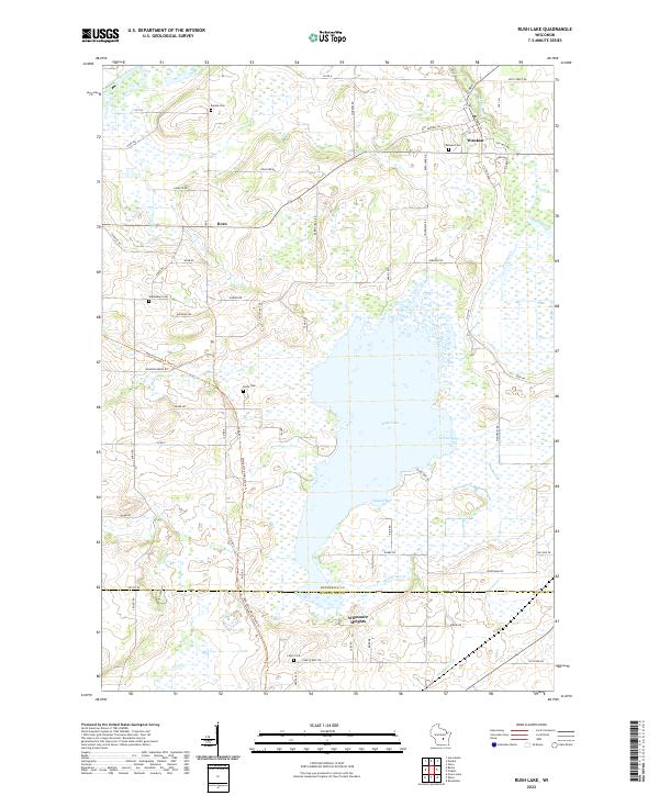 2022 Rush Lake2022 Print · USGSRush Lake and the surrounding dairy country of Winnebago County are documented in the early 2020s. Researchers can locate family heritage sites at Waukau Cem or Loper Cem and trace the path of the Mascoutin Valley State Trl through Koro.
 - 2022 Map of Berlin, 2022 Print
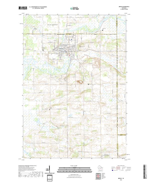 2022 Berlin2022 Print · USGSBerlin and the banks of the Fox River are captured in this recent survey of the Green Lake County region. Researchers can trace local heritage through numerous burial sites like Saint Michael's Cem and the Mascoutin Valley State Trl.
End of results
Showing maps 1-18 of 18
Top cities near Nepeuskum
- Oshkosh historical maps
- Ripon historical maps
- Berlin historical maps
- City of Berlin historical maps
- Omro historical maps
- Winneconne historical maps
See more
Top neighborhoods of Nepeuskum
Frequently asked questions
- What are the different types of historical maps available for Nepeuskum?
- What is the oldest map of Nepeuskum?
- Where can I purchase historical maps of Nepeuskum for my home or office?
- Where can I download high-res historical maps of Nepeuskum?
- Are there historical topographic maps available for Nepeuskum?
- Is there historical aerial imagery available for Nepeuskum?
- Where are historical maps of Nepeuskum sourced from?