2000s (21st Century) Maps of Wisconsin Dells, Wisconsin
Explore 20 historic maps of Wisconsin Dells from the 2000s (21st Century). These maps offer a rare glimpse into what life looked like during the 2000s — showing old roads, neighborhoods, homes, and landmarks that have changed or disappeared over time.
Whether you're researching your family's past, planning a metal detecting trip, or studying how Wisconsin Dells's landscape evolved across the 2000s, these high-resolution maps are a powerful tool for exploring the history of this region.
- Focus on a specific era: All maps on this page are from the 2000s, giving you a focused view of this time period.
- See what’s changed: Compare century-old streets, trails, and buildings to today's modern landscape using overlays and satellite layers.
- Research with precision: Use these maps for genealogy, historical research, land use analysis, or educational projects.
- View, download, or print: Maps are fully viewable online in high resolution, and can be downloaded or printed for your own records.
Start exploring Wisconsin Dells's history through authentic maps from the 2000s. This is your window into the past.
Wisconsin Dells, WI maps
(20)- 2010 Map of Wisconsin Dells North, 2010 Print
 2010 Wisconsin Dells North2010 Print · USGSCovers Wisconsin Dells, including Dell Prairie, Lyndon, and other nearby areas
 - 2010 Map of Big Spring, 2010 Print
 2010 Big Spring2010 Print · USGSCovers Wisconsin Dells, including Dell Prairie, Town of Dell Prairie, and other nearby areas
 - 2010 Map of Lewiston, 2010 Print
 2010 Lewiston2010 Print · USGSCovers Wisconsin Dells, including Lake Delton, Lewiston, and other nearby areas
 - 2010 Map of Wisconsin Dells South, 2010 Print
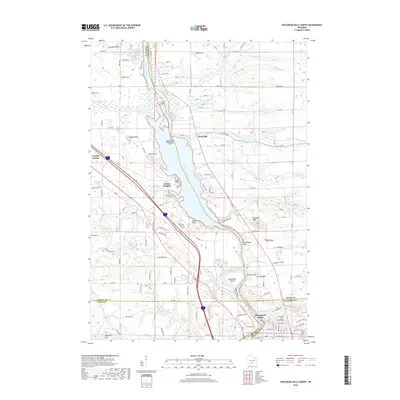
 2010 Wisconsin Dells South2010 Print · USGSCovers Wisconsin Dells, including Lake Delton, West Baraboo, and other nearby areas
 - 2013 Map of Lewiston, 2013 Print
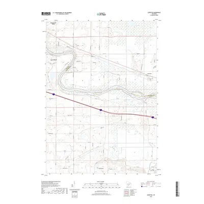
 2013 Lewiston2013 Print · USGSCovers Wisconsin Dells, including Lake Delton, Lewiston, and other nearby areas
 - 2013 Map of Big Spring, 2013 Print
 2013 Big Spring2013 Print · USGSCovers Wisconsin Dells, including Dell Prairie, Town of Dell Prairie, and other nearby areas
 - 2013 Map of Wisconsin Dells North, 2013 Print
 2013 Wisconsin Dells North2013 Print · USGSCovers Wisconsin Dells, including Dell Prairie, Lyndon, and other nearby areas
 - 2013 Map of Wisconsin Dells South, 2013 Print
 2013 Wisconsin Dells South2013 Print · USGSCovers Wisconsin Dells, including Lake Delton, West Baraboo, and other nearby areas
 - 2016 Map of Lewiston, 2016 Print
 2016 Lewiston2016 Print · USGSCovers Wisconsin Dells, including Lake Delton, Lewiston, and other nearby areas
 - 2016 Map of Wisconsin Dells South, 2016 Print
 2016 Wisconsin Dells South2016 Print · USGSCovers Wisconsin Dells, including Lake Delton, West Baraboo, and other nearby areas
 - 2016 Map of Wisconsin Dells North, 2016 Print
 2016 Wisconsin Dells North2016 Print · USGSCovers Wisconsin Dells, including Dell Prairie, Lyndon, and other nearby areas
 - 2016 Map of Big Spring, 2016 Print
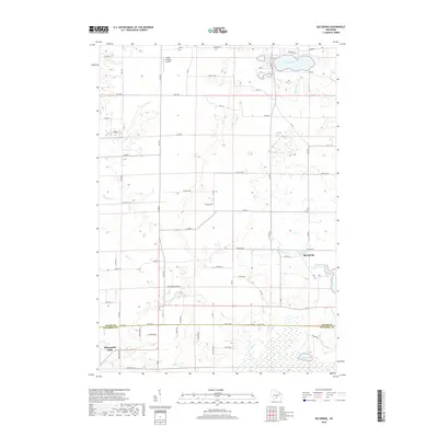
 2016 Big Spring2016 Print · USGSCovers Wisconsin Dells, including Dell Prairie, Town of Dell Prairie, and other nearby areas
 - 2018 Map of Big Spring, 2018 Print
 2018 Big Spring2018 Print · USGSCovers Wisconsin Dells, including Dell Prairie, Town of Dell Prairie, and other nearby areas
 - 2018 Map of Lewiston, 2018 Print
 2018 Lewiston2018 Print · USGSCovers Wisconsin Dells, including Lake Delton, Lewiston, and other nearby areas
 - 2018 Map of Wisconsin Dells South, 2018 Print
 2018 Wisconsin Dells South2018 Print · USGSCovers Wisconsin Dells, including Lake Delton, West Baraboo, and other nearby areas
 - 2018 Map of Wisconsin Dells North, 2018 Print
 2018 Wisconsin Dells North2018 Print · USGSCovers Wisconsin Dells, including Dell Prairie, Lyndon, and other nearby areas
 - 2022 Map of Lewiston, 2022 Print
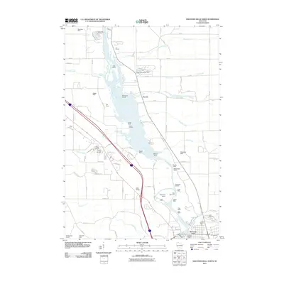
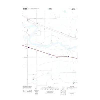
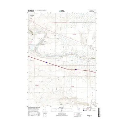
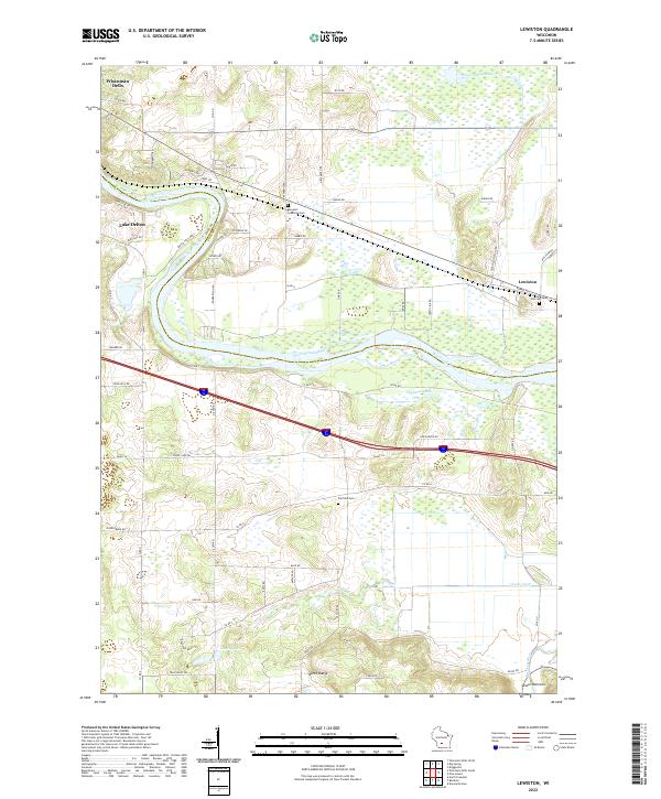 2022 Lewiston2022 Print · USGSWisconsin Dells and the surrounding rural townships are shown here in the early twenty-first century, spanning the river-cut landscape of Sauk and Columbia counties. Researchers can trace local heritage through sites like Newport Lutheran Cem and the natural geography of the North Range and Lower Narrows.
 - 2022 Map of Big Spring, 2022 Print
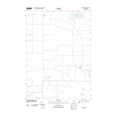
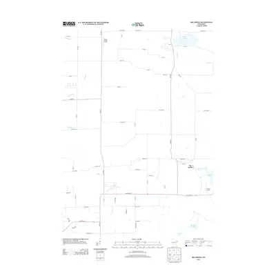
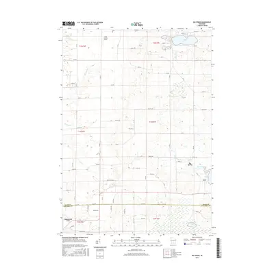
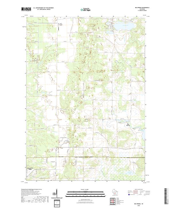 2022 Big Spring2022 Print · USGSThe rural borderlands of Adams and Columbia counties are captured here in a period of modern local development. Researchers can trace the water-carved landscape of Big Spring Creek and locate community landmarks like New Christ Church and Jordan Lake.
 - 2022 Map of Wisconsin Dells South, 2022 Print
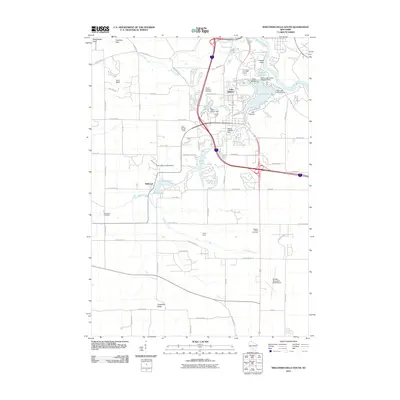
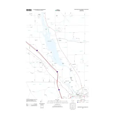
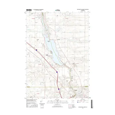
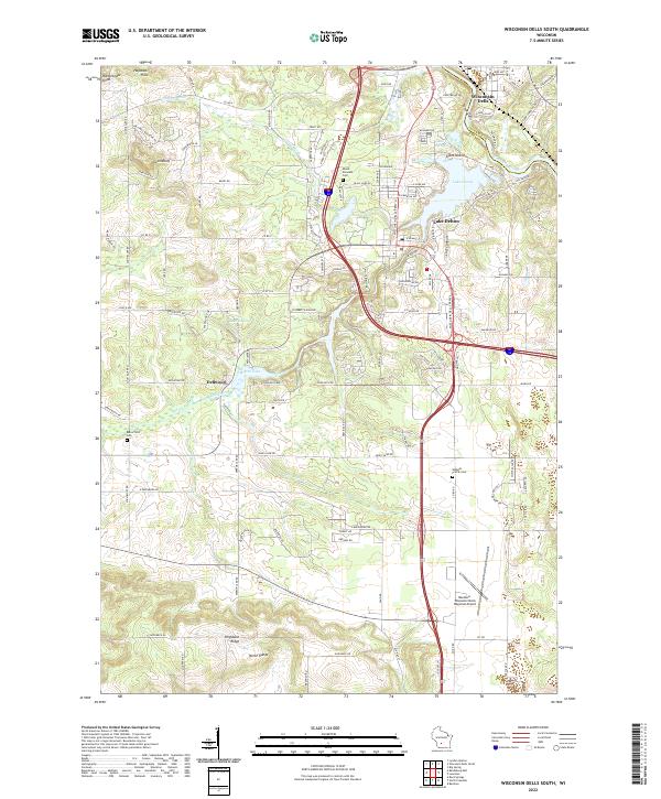 2022 Wisconsin Dells South2022 Print · USGSSauk County’s landscape near the Wisconsin River is documented here in its contemporary form. Trace the geography of local landmarks and burial sites like Mount Pleasant Cem, Lost Canyon, and the Baraboo-Wisconsin Dells Regional Airport.
 - 2022 Map of Wisconsin Dells North, 2022 Print
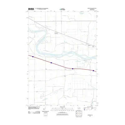
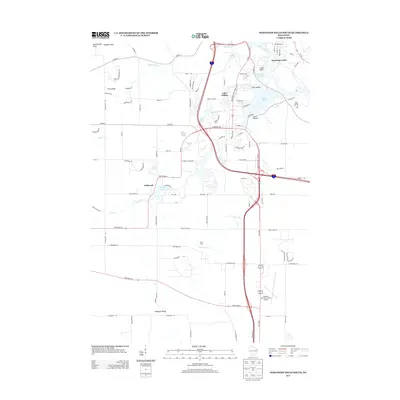
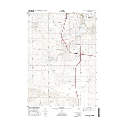
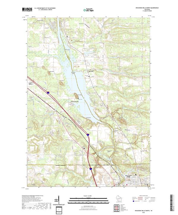 2022 Wisconsin Dells North2022 Print · USGSThe northern Dells and the junction of four Wisconsin counties come into focus in this recent survey. Local historians can trace the Union Pacific RR through Lyndon Station or locate family sites at Plainville Cem and Indian Baptist Cem along the Wisconsin River.
End of results
Showing maps 1-20 of 20
Top cities near Wisconsin Dells
- Baraboo historical maps
- Reedsburg historical maps
- Lake Delton historical maps
- Dekorra historical maps
- Lemonweir historical maps
- West Baraboo historical maps
See more
Top neighborhoods of Wisconsin Dells
Frequently asked questions
- What are the different types of historical maps available for Wisconsin Dells?
- What is the oldest map of Wisconsin Dells?
- Where can I purchase historical maps of Wisconsin Dells for my home or office?
- Where can I download high-res historical maps of Wisconsin Dells?
- Are there historical topographic maps available for Wisconsin Dells?
- Is there historical aerial imagery available for Wisconsin Dells?
- Where are historical maps of Wisconsin Dells sourced from?