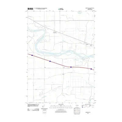
2010 Map of Lewiston
USGS Topo · Published 2010About this map
Newport Norwegian Evangelical Lutheran Cemetery stands as a focal point for genealogy in this portion of Wisconsin, where the Wisconsin River carves a winding path through the landscape. The geography here is defined by the water, from the broad river bends to the smaller drainage of Leech Creek and scattered bodies of water like Corning Lake and Leech Lake. Small rural clusters such as Lewiston, Greens Corners, and Pecks Corners are linked by a network of county highways and local routes like Shady Lane Rd and Fairfield Rd.
Find a feature on this map
47 named features on this map. Tap any name to fly to it.
Don’t see what you’re looking for? This feature index may not catch every label — zoom into the map to look around manually.
Map Details
Editions of this 2010 Lewiston Map
This is the sole edition of this map. No revisions or reprints were ever made.
Other maps of this area

1895 · Baraboo
USGS Topo · 1:62,500

1901 · Denzer
USGS Topo · 1:62,500

1901 · The Dells
USGS Topo · 1:62,500

1902 · Briggsville
USGS Topo · 1:62,500

1908 · Baraboo
USGS Topo · 1:62,500

1957 · Wisconsin Dells
USGS Topo · 1:62,500

1957 · Madison
USGS Topo · 1:250,000

1958 · Briggsville
USGS Topo · 1:62,500

1958 · North Freedom
USGS Topo · 1:62,500

1959 · Baraboo
USGS Topo · 1:62,500