Old Maps of Kellner, Grand Rapids for Hiking & Exploration
Hike through history with 9 historic maps of Kellner. Explore old trails, ghost towns, and forgotten backroads — perfect for outdoor adventurers and local explorers.
- Rediscover forgotten places: Map out old mining camps, roads, and footpaths that no longer exist on modern maps.
- Layer with modern tools: Combine with LiDAR or satellite views to plan hikes through historical terrain.
- Made for exploration: Popular among hikers, overlanders, and local history lovers.
Use these maps to find adventure and explore the hidden past of Kellner.
Kellner, Grand Rapids maps
(9)- 1955 Map of Green Bay, 1968 Print
 1955 Green Bay1968 Print · USGSCentral and Eastern Wisconsin are captured here in the mid-fifties, showing the industrial growth of the Fox Valley and Wisconsin River corridors. Genealogists and historians can trace rail lines like the Green Bay and Western through settlements like Weyauwega, Clintonville, and Pulaski.2 unique versions available
 - 1957 Map of Whiting, 1959 Print
 1957 Whiting1959 Print · USGSCentral Wisconsin is captured here in the late fifties, showcasing the river-and-rail corridor connecting Whiting and Bancroft. Researchers can trace old rural schoolhouses like Pearl Sch and cemeteries such as McDill Cem across the Portage County landscape.
 - 1970 Map of Kellner, 1972 Print
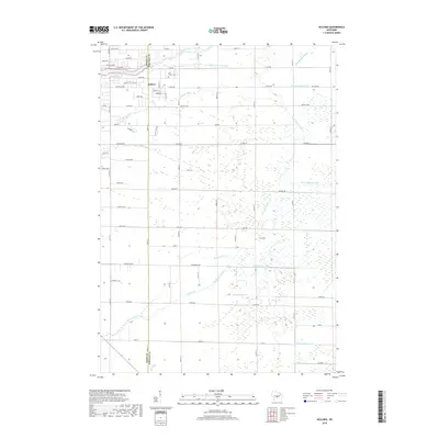
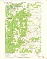 1970 Kellner1972 Print · USGSThe rural border of Wood and Portage Counties was a landscape of managed waterways and rail lines in the 1970s. Genealogists and local historians can trace the community around Kellner, finding landmarks like St Johns Cem, Grant Sch, and the Church of God.
 - 1985 Map of Wisconsin Rapids
 1985 Wisconsin Rapids1985 Print · USGSCentral Wisconsin in the mid-eighties shows a landscape of engineered waterways and active rail corridors between Wisconsin Rapids and Waupaca. Genealogists and researchers can trace local landmarks like Roche A Cri State Park, the SOO LINE, and small settlements like Coddington or Rudolph.2 unique versions available
 - 2010 Map of Kellner, 2010 Print
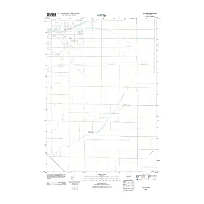 2010 Kellner2010 Print · USGSCovers Kellner, including Saratoga, Grant, and other nearby areas
 - 2013 Map of Kellner, 2013 Print
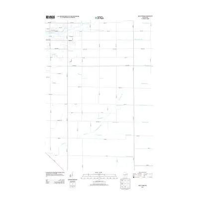 2013 Kellner2013 Print · USGSCovers Kellner, including Saratoga, Grant, and other nearby areas
 - 2015 Map of Kellner, 2015 Print
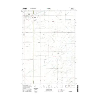 2015 Kellner2015 Print · USGSCovers Kellner, including Saratoga, Grant, and other nearby areas
 - 2018 Map of Kellner, 2018 Print
 2018 Kellner2018 Print · USGSCovers Kellner, including Saratoga, Grant, and other nearby areas
 - 2022 Map of Kellner, 2022 Print
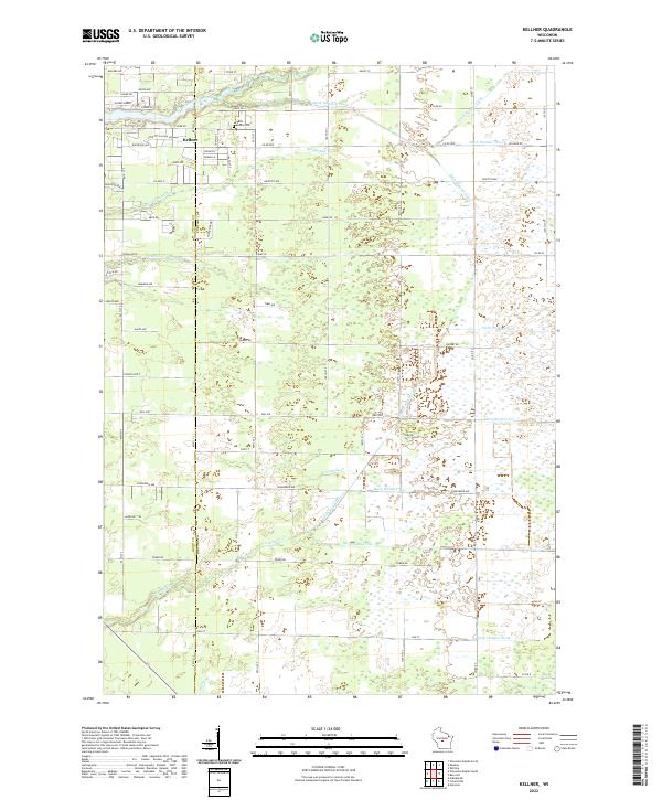 2022 Kellner2022 Print · USGSThe community of Kellner and the border between Wood and Portage counties are captured here in the early twenty-first century. Genealogists and local historians can trace the grounds of Saint Johns Cem and the complex drainage networks of Tenmile Cr and Bloody Run.
End of results
Showing maps 1-9 of 9
Top cities near Kellner
- Stevens Point historical maps
- Wisconsin Rapids historical maps
- Plover historical maps
- Nekoosa historical maps
- Port Edwards historical maps
- Whiting historical maps
See more
Frequently asked questions
- What are the different types of historical maps available for Kellner?
- What is the oldest map of Kellner?
- Where can I purchase historical maps of Kellner for my home or office?
- Where can I download high-res historical maps of Kellner?
- Are there historical topographic maps available for Kellner?
- Is there historical aerial imagery available for Kellner?
- Where are historical maps of Kellner sourced from?