Old Maps of Port Edwards, Wisconsin for Genealogy
Trace your family roots with 36 historic maps of Port Edwards. These high-res maps reveal old neighborhoods, homesites, landmarks, and streets — helping you uncover where your ancestors lived and how the area evolved over time.
- Explore historic neighborhoods: Identify where your relatives may have lived in the 1800s or 1900s.
- Compare maps over time: Trace the changes in streets, buildings, and landmarks for multi-generational research.
- Perfect for genealogy & ancestry research: Used by family historians and researchers to map out lineage and migration.
These maps are an incredible resource for exploring your personal connection to Port Edwards's past.
Port Edwards, WI maps
(36)- 1953 Map of Eau Claire, 1965 Print
 1953 Eau Claire1965 Print · USGSWest-central Wisconsin in the mid-fifties shows a landscape of river-valley industry and vast wildlife refuges during the transition from rails to modern highways. Genealogists and historians can trace the rail corridors of the Chicago and North Western or locate family-named landmarks like Decorah Mound and Chippewa Island.4 unique versions available
 - 1955 Map of Green Bay, 1968 Print
 1955 Green Bay1968 Print · USGSCentral and Eastern Wisconsin are captured here in the mid-fifties, showing the industrial growth of the Fox Valley and Wisconsin River corridors. Genealogists and historians can trace rail lines like the Green Bay and Western through settlements like Weyauwega, Clintonville, and Pulaski.2 unique versions available
 - 1957 Map of Wisconsin Rapids, 1959 Print
 1957 Wisconsin Rapids1959 Print · USGSThe mid-century paper-milling and cranberry-farming corridor along the Wisconsin River is shown here in detail during a period of steady growth. Researchers can trace the development of Wisconsin Rapids, the extensive Cranberry Bogs, and rural landmarks like St Johns Ch and Nepco Lake.
 - 1957 Map of Pittsville, 1959 Print
 1957 Pittsville1959 Print · USGSWood County in the late fifties was a specialized landscape of marshland agriculture and remote rural outposts. Genealogists and historians can trace family-named schools like Wallace Sch, find the Babcock Cem, and locate the expansive Cranberry Bogs.2 unique versions available
 - 1958 Map of Eau Claire
 1958 Eau Claire1958 Print · USGSWestern Wisconsin in the late fifties shows a landscape of growing regional hubs and massive wildlife refuges. Trace the rail lines of the Chicago and North Western between Eau Claire and Marshfield, or explore the terrain around Iron Mound and Lake Wissota.
 - 1958 Map of Arkdale, 1960 Print
 1958 Arkdale1960 Print · USGSIn the late fifties, the central Wisconsin landscape of Adams County was defined by the massive Petenwell Flowage and rural farming life. Genealogists can trace family names at Violet Lawn Sch, Spring Branch Cem, and the settlement of Arkdale.
 - 1958 Map of Necedah, 1960 Print
 1958 Necedah1960 Print · USGSJuneau County in the late fifties shows a landscape shaped by massive water projects and conservation efforts. Genealogists and hikers can trace old country roads to find the Rockview Sch, Zion Cem, and the tracks of the Chicago and North Western.3 unique versions available
 - 1964 Map of Eau Claire
 1964 Eau Claire1964 Print · USGSWest-central Wisconsin in the mid-1960s was a hub of river-driven industry and expanding rail networks. Researchers can trace historic homesteads near Menomonie, follow the Soo Line RR through Marshfield, or explore the grounds of the Camp McCoy Military Reservation.
 - 1967 Map of Wisconsin Rapids, 1969 Print
 1967 Wisconsin Rapids1969 Print · USGSThe industrial riverfronts of Wood County and the extensive cranberry marshlands of the central sands are captured in this mid-century survey. Researchers can trace family roots through numerous rural landmarks like St John Ch, Trinity Cem, and the community at Eight Corners.2 unique versions available
 - 1967 Map of Pittsville, 1969 Print
 1967 Pittsville1969 Print · USGSWood County in the late sixties shows a unique landscape of managed wetlands and cranberry production. Genealogists and local historians can trace family sites near Pittsville, find the Cranmoor Sch, or locate cemeteries like St Johns Cem and Babcock Cem.2 unique versions available
 - 1969 Map of New Miner, 1971 Print
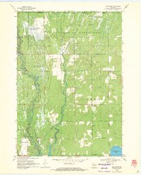 1969 New Miner1971 Print · USGSJuneau County was a landscape of specialized land use in the late sixties, from military ranges to wildlife conservation. Researchers can locate the New Miner settlement, several rural burial grounds like Novotny Cem, and the tracks of the M St P & P railroad.2 unique versions available
 - 1969 Map of Arkdale NW, 1971 Print
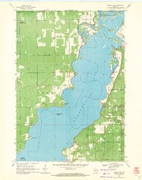 1969 Arkdale NW1971 Print · USGSThe shorelines of the Wisconsin River define the local landscape during the late sixties, where recreation and military activity exist side-by-side. Trace old landmarks like Cranberry Rock Lookout Tower, the settlement at New Rome, and the expansive National Guard Bombing and Gunnery Range.3 unique versions available
 - 1984 Map of Nekoosa
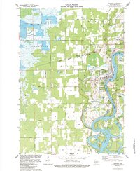 1984 Nekoosa1984 Print · USGSThe Wisconsin River corridor in the mid-1980s reveals a unique landscape of industrial river towns and sprawling commercial wetlands. Genealogists and local historians can trace the development of Nekoosa and Port Edwards near landmarks like Nekoosa Cem and the Townhall.
 - 1984 Map of Babcock
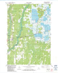 1984 Babcock1984 Print · USGSWood County’s cranberry country is documented here in the mid-1980s, showing a unique landscape of bogs and rural landing strips. Genealogists and local historians can locate the Babcock Cem and trace early routes like Lonesome Road or Creamery Road.
 - 1985 Map of Black River Falls
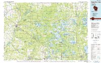 1985 Black River Falls1985 Print · USGSCentral Wisconsin in the mid-1980s is defined by its sprawling wildlife refuges and the winding Black River corridor. Genealogists and researchers can trace rural settlements like Millston and Warrens or locate historical sites such as the Iron Mine and the grounds of Fort McCoy.2 unique versions available
 - 1985 Map of Wisconsin Rapids
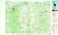 1985 Wisconsin Rapids1985 Print · USGSCentral Wisconsin in the mid-eighties shows a landscape of engineered waterways and active rail corridors between Wisconsin Rapids and Waupaca. Genealogists and researchers can trace local landmarks like Roche A Cri State Park, the SOO LINE, and small settlements like Coddington or Rudolph.2 unique versions available
 - 2010 Map of Babcock, 2010 Print
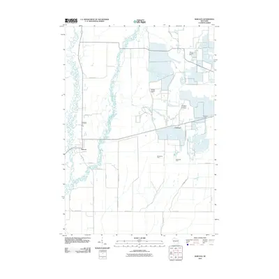 2010 Babcock2010 Print · USGSCranmoor and the surrounding marshlands of Wood County appear in 2010 as a specialized landscape of cranberry bogs and private airfields. Researchers can trace the banks of the Yellow River, locate the Babcock Cemetery, and see the aviation network at Whittlesey Cranberry Co Airport.
 - 2010 Map of Nekoosa, 2010 Print
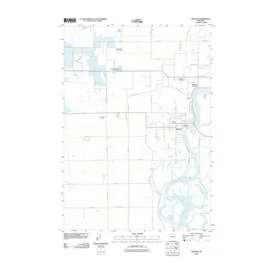 2010 Nekoosa2010 Print · USGSNekoosa and the Wisconsin River valley are captured here in the early twenty-first century, documenting a landscape shaped by water and industry. Researchers can trace the layout of Nekoosa Junction, locate Riverside Cemetery, and see the network of dams like the Nekoosa WP348 Dam.
 - 2010 Map of Arkdale NW, 2010 Print
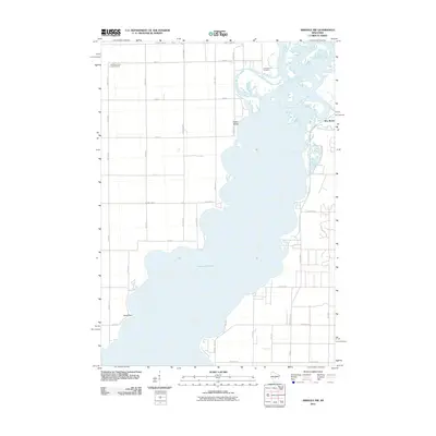 2010 Arkdale NW2010 Print · USGSThe eastern shores of Petenwell Lake are captured here during the first decade of the 2000s. Genealogists and local historians can locate New Rome and Greenwood Cemetery, or trace the winding path of Fourteenmile Creek.
 - 2010 Map of New Miner, 2010 Print
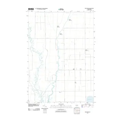 2010 New Miner2010 Print · USGSFinley and New Miner are depicted here during the first decade of the 21st century, showing a landscape defined by cranberry production and river management. Genealogists can locate several local burial grounds including Novotny Cemetery and Saint Pauls Evangelical Lutheran Cemetery near New Miner.
 - 2013 Map of Babcock, 2013 Print
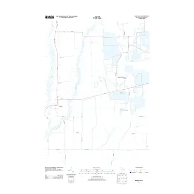 2013 Babcock2013 Print · USGSWood County’s cranberry country is documented here in the early twenty-first century, showing a landscape shaped by water and agriculture. Researchers can trace the drainage patterns of Cranberry Creek and locate unique aviation sites like Whittlesey Cranberry Co Airport.
 - 2013 Map of Arkdale NW, 2013 Print
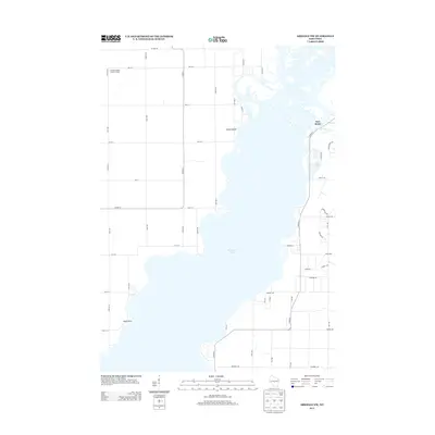 2013 Arkdale NW2013 Print · USGSThe sprawling waters of Petenwell Lake define this Adams County landscape as it appeared in the early 2010s. Trace the development of New Rome and identify regional landmarks like the Cranberry Rock Lookout Tower and Yellow Banks.
 - 2013 Map of Nekoosa, 2013 Print
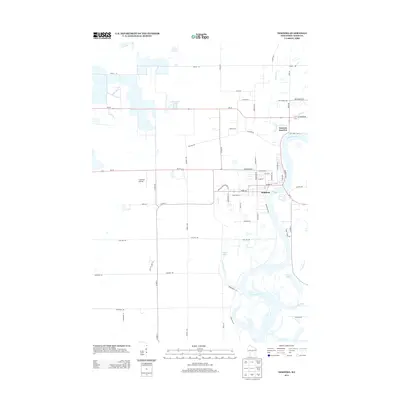 2013 Nekoosa2013 Print · USGSNekoosa and Wood County are shown here in the early 2010s as the community thrives along the banks of the Wisconsin River. Genealogists and local historians can trace the town's street plan and outlying landmarks like Cranmoor Airstrip and Nekoosa Junction.
 - 2013 Map of New Miner, 2013 Print
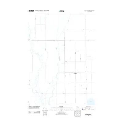 2013 New Miner2013 Print · USGSJuneau County's rural drainage and road networks are captured here in the early twenty-first century. Local historians can trace family properties and land boundaries near the Yellow River and Cranberry Creek, or locate the crossroads settlement of New Miner.
 - 2015 Map of Arkdale NW, 2015 Print
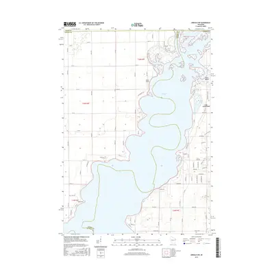 2015 Arkdale NW2015 Print · USGSAlong the shores of Petenwell Lake in the mid-2010s, this map reveals a landscape defined by the Wisconsin River and growing lakeside communities. Trace residential developments around New Rome and Lake Arrowhead or locate local landmarks like Greenwood Cem.
Showing maps 1-25 of 36
Top cities near Port Edwards
- Wisconsin Rapids historical maps
- Nekoosa historical maps
- Port Edwards historical maps
- Big Flats historical maps
- Pittsville historical maps
- Biron historical maps
See more
Frequently asked questions
- What are the different types of historical maps available for Port Edwards?
- What is the oldest map of Port Edwards?
- Where can I purchase historical maps of Port Edwards for my home or office?
- Where can I download high-res historical maps of Port Edwards?
- Are there historical topographic maps available for Port Edwards?
- Is there historical aerial imagery available for Port Edwards?
- Where are historical maps of Port Edwards sourced from?