2000s (21st Century) Maps of Pickerall Ranch, Wyoming
Explore 5 historic maps of Pickerall Ranch from the 2000s (21st Century). These maps offer a rare glimpse into what life looked like during the 2000s — showing old roads, neighborhoods, homes, and landmarks that have changed or disappeared over time.
Whether you're researching your family's past, planning a metal detecting trip, or studying how Pickerall Ranch's landscape evolved across the 2000s, these high-resolution maps are a powerful tool for exploring the history of this region.
- Focus on a specific era: All maps on this page are from the 2000s, giving you a focused view of this time period.
- See what’s changed: Compare century-old streets, trails, and buildings to today's modern landscape using overlays and satellite layers.
- Research with precision: Use these maps for genealogy, historical research, land use analysis, or educational projects.
- View, download, or print: Maps are fully viewable online in high resolution, and can be downloaded or printed for your own records.
Start exploring Pickerall Ranch's history through authentic maps from the 2000s. This is your window into the past.
Pickerall Ranch, WY maps
(5)- 2012 Map of Laramie Peak, 2012 Print
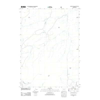 2012 Laramie Peak2012 Print · USGSCovers Pickerall Ranch, including Atkinson Ranch, Albany County, and other nearby areas
 - 2015 Map of Laramie Peak, 2015 Print
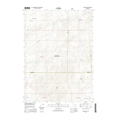 2015 Laramie Peak2015 Print · USGSCovers Pickerall Ranch, including Atkinson Ranch, Albany County, and other nearby areas
 - 2017 Map of Laramie Peak, 2017 Print
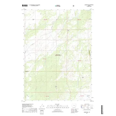 2017 Laramie Peak2017 Print · USGSCovers Pickerall Ranch, including Atkinson Ranch, Albany County, and other nearby areas
 - 2021 Map of Laramie Peak, 2021 Print
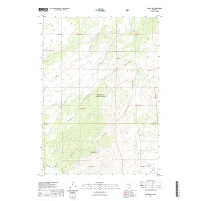 2021 Laramie Peak2021 Print · USGSCovers Pickerall Ranch, including Atkinson Ranch, Albany County, and other nearby areas
 - 2023 Map of Laramie Peak, 2023 Print
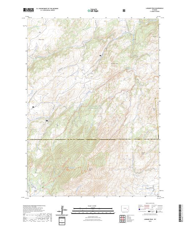 2023 Laramie Peak2023 Print · USGSThe high peaks and drainages of the Laramie Range come into focus in this recent survey of the Medicine Bow National Forest. Outdoor enthusiasts and local historians can trace the paths of Roaring Fork Creek Trl and Harris Park Trl near the historic Friend Park.
End of results
Showing maps 1-5 of 5
Frequently asked questions
- What are the different types of historical maps available for Pickerall Ranch?
- What is the oldest map of Pickerall Ranch?
- Where can I purchase historical maps of Pickerall Ranch for my home or office?
- Where can I download high-res historical maps of Pickerall Ranch?
- Are there historical topographic maps available for Pickerall Ranch?
- Is there historical aerial imagery available for Pickerall Ranch?
- Where are historical maps of Pickerall Ranch sourced from?