Old Maps of Rockypoint, Wyoming for Genealogy
Trace your family roots with 11 historic maps of Rockypoint. These high-res maps reveal old neighborhoods, homesites, landmarks, and streets — helping you uncover where your ancestors lived and how the area evolved over time.
- Explore historic neighborhoods: Identify where your relatives may have lived in the 1800s or 1900s.
- Compare maps over time: Trace the changes in streets, buildings, and landmarks for multi-generational research.
- Perfect for genealogy & ancestry research: Used by family historians and researchers to map out lineage and migration.
These maps are an incredible resource for exploring your personal connection to Rockypoint's past.
Rockypoint, WY maps
(11)- 1954 Map of Gillette, 1975 Print
 1954 Gillette1975 Print · USGSGillette and the northeast Wyoming ranching country are captured here in the mid-1950s as coal and bentonite mining shaped the local economy. Genealogists can trace family landmarks like the Bethlehem Church, Wellman School, and early settlements along the Chicago Burlington and Quincy RR.
 - 1955 Map of Gillette, 1976 Print
 1955 Gillette1976 Print · USGSNortheastern Wyoming in the mid-twentieth century is captured here as the energy and ranching landscape began to shift. Genealogists and historians can trace the foundations of local communities through sites like Wyodak, the Pleasantdale Community Building, and landmarks like Devils Tower National Monument.
 - 1958 Map of Gillette
 1958 Gillette1958 Print · USGSNortheastern Wyoming and the Black Hills are captured here in the late fifties, showcasing a landscape of high-plains ranching and emerging energy production. Researchers can trace the rail-side growth of Gillette and find historic rural landmarks like the Wyodak Coal Mine, Bethlehem Church, and Devils Tower National Monument.2 unique versions available
 - 1962 Map of Gillette
 1962 Gillette1962 Print · USGSHigh plains ranching and coal mining dominate the Powder River Basin in the early sixties. Genealogists can trace rural communities through landmarks like the Bethlehem Church, Lake School, and settlements such as Moorcroft and Sundance.
 - 1972 Map of Rockypoint, 1975 Print
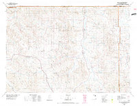
 1972 Rockypoint1975 Print · USGSThe northern Wyoming borderlands come into focus in the early 1970s, showing a landscape defined by ranching and oil exploration. Genealogists and local historians can locate the Rockypoint settlement, Rockypoint Church, and the Nebraska School among the draws of the Little Missouri River.
 - 1975 Map of Recluse, 1977 Print
 1975 Recluse1977 Print · USGSNorthwestern Wyoming ranching country is captured here in the mid-1970s as the high plains meet the Montana border. Genealogists and historians can trace small settlements like Recluse and Spotted Horse, or locate the Burlington Northern rail line near Croton.2 unique versions available
 - 2011 Map of Rockypoint, 2011 Print
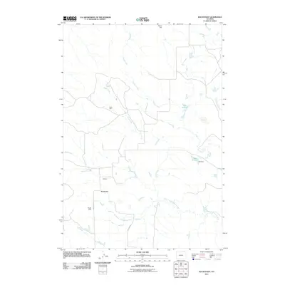 2011 Rockypoint2011 Print · USGSCovers Rockypoint, including Campbell County, Crook County, and other nearby areas
 - 2012 Map of Rockypoint, 2012 Print
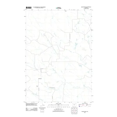 2012 Rockypoint2012 Print · USGSCovers Rockypoint, including Campbell County, Crook County, and other nearby areas
 - 2015 Map of Rockypoint, 2015 Print
 2015 Rockypoint2015 Print · USGSCovers Rockypoint, including Campbell County, Crook County, and other nearby areas
 - 2017 Map of Rockypoint, 2017 Print
 2017 Rockypoint2017 Print · USGSCovers Rockypoint, including Campbell County, Crook County, and other nearby areas
 - 2021 Map of Rockypoint, 2021 Print
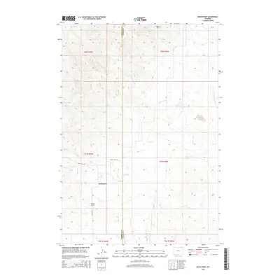
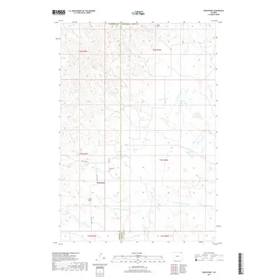
 2021 Rockypoint2021 Print · USGSThe high plains of the Campbell and Crook County border are captured in this recent survey of the Rockypoint area. Researchers can locate family landmarks like Rockypoint Cem, follow the N Fork Little Missouri River, and trace rural routes from Signal Hill to Rocky Point.
End of results
Showing maps 1-11 of 11
Frequently asked questions
- What are the different types of historical maps available for Rockypoint?
- What is the oldest map of Rockypoint?
- Where can I purchase historical maps of Rockypoint for my home or office?
- Where can I download high-res historical maps of Rockypoint?
- Are there historical topographic maps available for Rockypoint?
- Is there historical aerial imagery available for Rockypoint?
- Where are historical maps of Rockypoint sourced from?