Old Maps of Savageton, Wyoming for Genealogy
Trace your family roots with 9 historic maps of Savageton. These high-res maps reveal old neighborhoods, homesites, landmarks, and streets — helping you uncover where your ancestors lived and how the area evolved over time.
- Explore historic neighborhoods: Identify where your relatives may have lived in the 1800s or 1900s.
- Compare maps over time: Trace the changes in streets, buildings, and landmarks for multi-generational research.
- Perfect for genealogy & ancestry research: Used by family historians and researchers to map out lineage and migration.
These maps are an incredible resource for exploring your personal connection to Savageton's past.
Savageton, WY maps
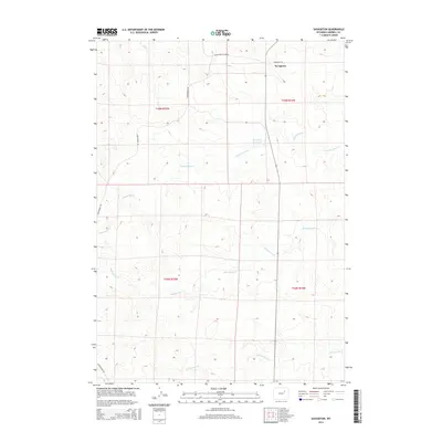
(9)- 1953 Map of Savageton, 1954 Print
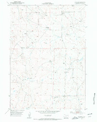 1953 Savageton1954 Print · USGSCampbell County ranching country is captured here in the early fifties, showing a landscape defined by isolated homesteads and windmills. Genealogists can locate family holdings like the Gilbertz Ranch and W Schlautmann Ranch or the local School (Aband).3 unique versions available
 - 1955 Map of Newcastle, 1963 Print
 1955 Newcastle1963 Print · USGSThe high plains of eastern Wyoming and western South Dakota are captured in the mid-fifties, showing a landscape of sprawling ranches and emerging oil fields. Researchers can locate family landmarks like Saunders Ranch, trace the Chicago Burlington & Quincy RR, and explore small rail towns such as Osage and Edgemont.2 unique versions available
 - 1958 Map of Newcastle
 1958 Newcastle1958 Print · USGSThe high plains of eastern Wyoming meet the Black Hills in the late fifties, showcasing a landscape of rail-connected towns and historic trails. Trace the path of the Chicago Burlington & Quincy RR through Newcastle or locate the Bozeman Trail Monument and Summitt Ridge Lookout Tower.
 - 1959 Map of Savageton, 1961 Print
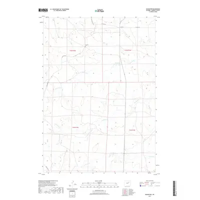
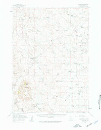 1959 Savageton1961 Print · USGSCampbell County ranching and the high plains of the late fifties are centered here around the remote community of Savageton. Researchers can locate family-named landmarks like the Jordan Ranch, trace the student population at Schlautmann School, or find the St Francis Ch.2 unique versions available
 - 1974 Map of Reno Junction, 1975 Print
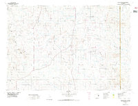 1974 Reno Junction1975 Print · USGSThe high plains of eastern Wyoming in the mid-1970s reveal an era of intensive energy production and remote ranching life. Genealogists and historians can trace the footprint of petroleum industry landmarks like the Hilight Oil and Gas Field alongside old settlements like Savageton and Reno.2 unique versions available
 - 2012 Map of Savageton, 2012 Print
 2012 Savageton2012 Print · USGSCovers Savageton, including Campbell County, United States, and other nearby areas
 - 2015 Map of Savageton, 2015 Print
 2015 Savageton2015 Print · USGSCovers Savageton, including Campbell County, United States, and other nearby areas
 - 2017 Map of Savageton, 2017 Print
 2017 Savageton2017 Print · USGSCovers Savageton, including Campbell County, United States, and other nearby areas
 - 2021 Map of Savageton, 2021 Print
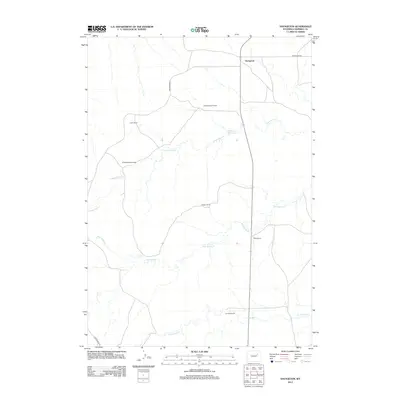
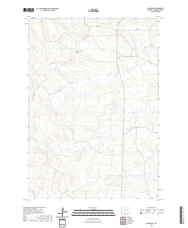 2021 Savageton2021 Print · USGSCampbell County ranching lands and prairie drainages are documented here in the early twenty-first century. Genealogists and local researchers can locate the Savageton Cem and trace the paths of Mud Spring Cr and Greasewood Cr.
End of results
Showing maps 1-9 of 9
Frequently asked questions
- What are the different types of historical maps available for Savageton?
- What is the oldest map of Savageton?
- Where can I purchase historical maps of Savageton for my home or office?
- Where can I download high-res historical maps of Savageton?
- Are there historical topographic maps available for Savageton?
- Is there historical aerial imagery available for Savageton?
- Where are historical maps of Savageton sourced from?